The best cycling routes around Hohe Schrecke
4.5
(3279)
11,685
riders
421
rides
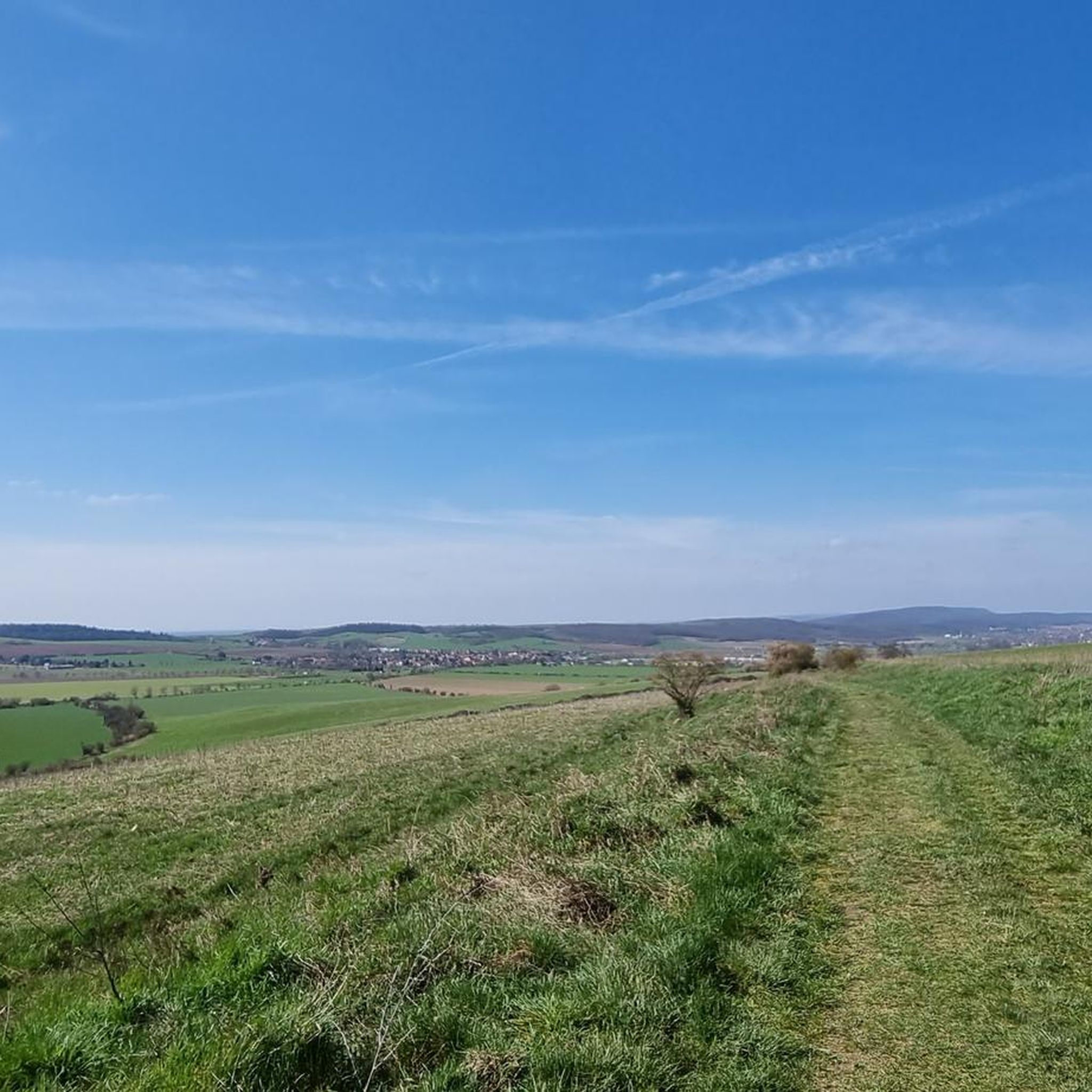
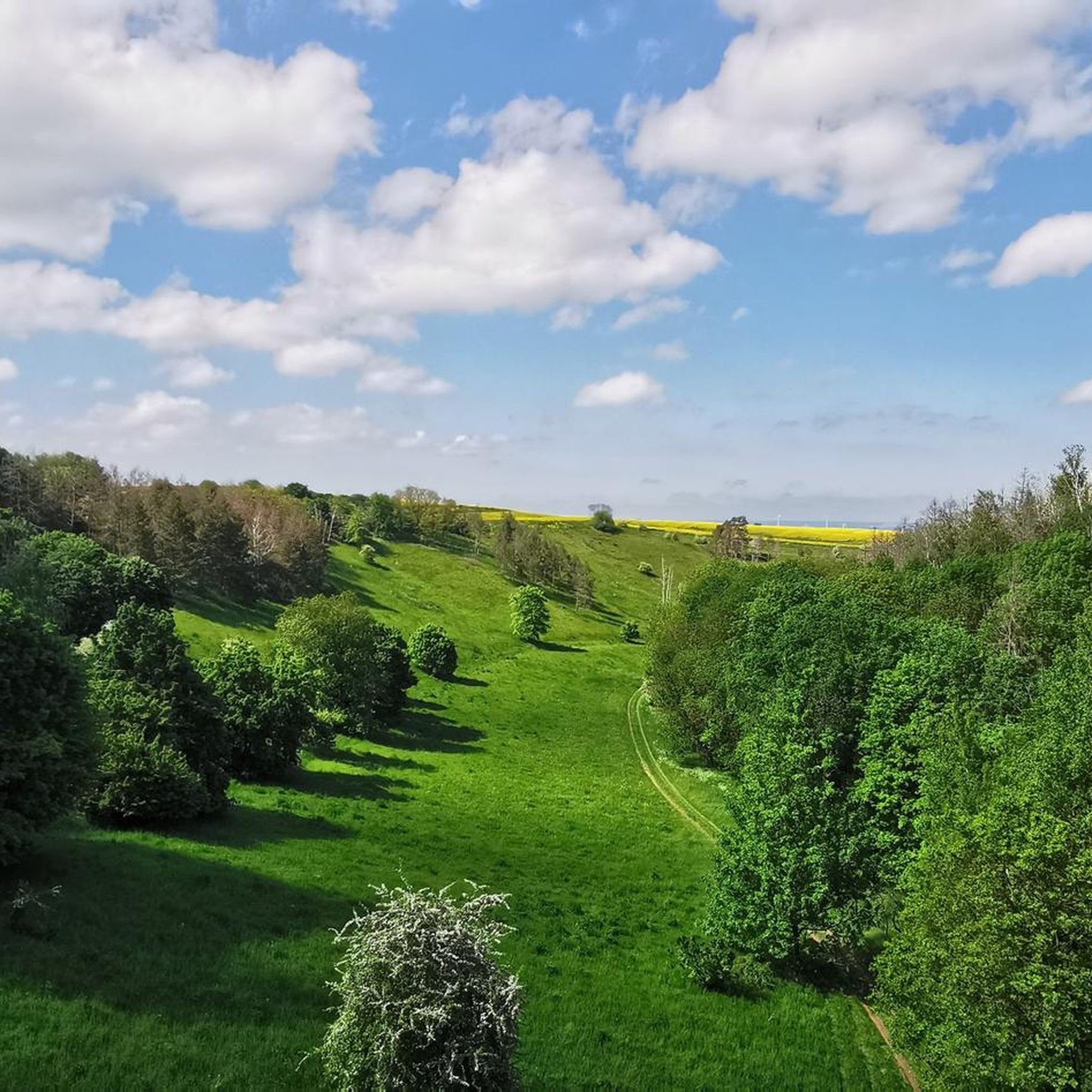
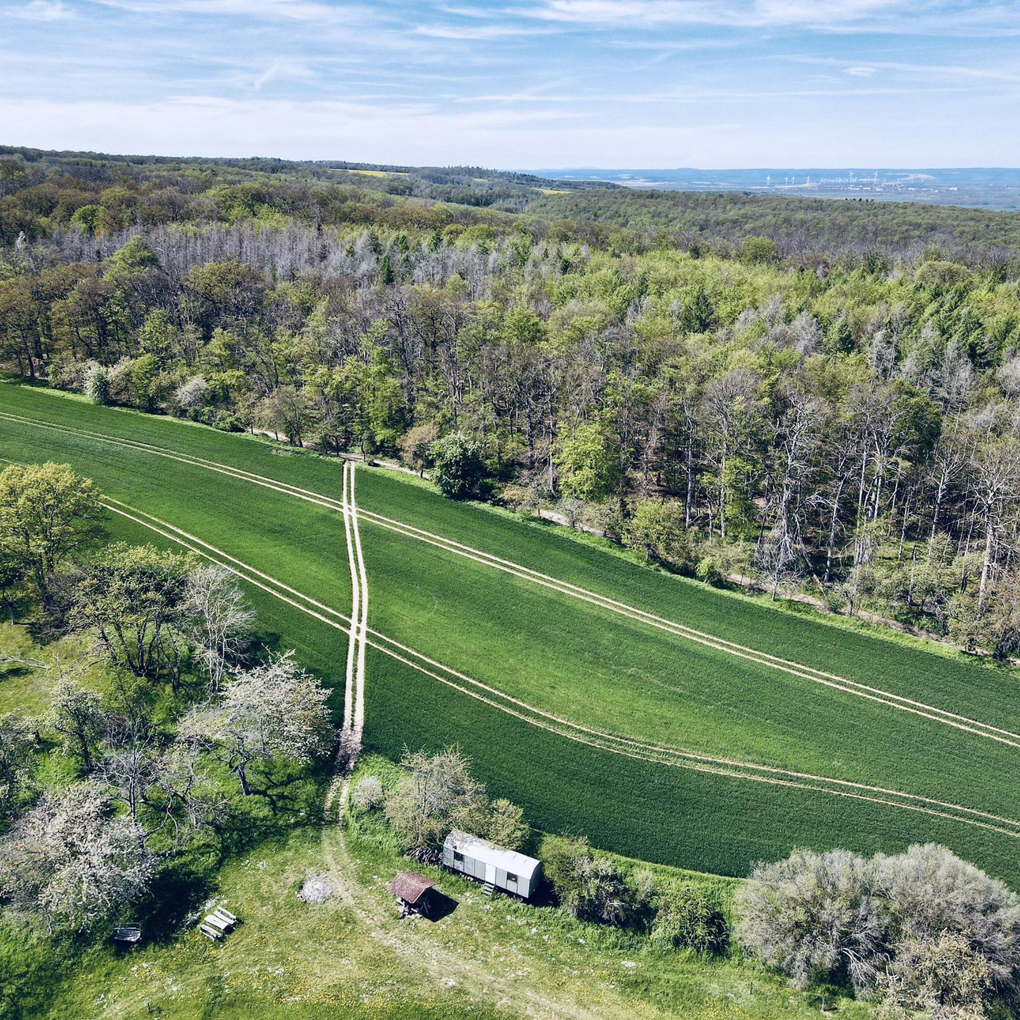
Touring cycling routes around Hohe Schrecke traverse a region characterized by dense, protected forests and varied terrain. This area is known for its commitment to wilderness preservation, offering an immersive experience in natural habitats. Cyclists encounter routes with varying elevation gains, from gentle paths to more challenging ascents, providing options for different fitness levels. The landscape includes areas where nature develops without human interference, such as parts of the Wiegental Wilderness Path.
Best touring cycling routes around Hohe Schrecke
- The…
Last updated: May 12, 2026
5.0
(1)
17
riders
56.3km
03:32
370m
380m
Moderate bike ride. Good fitness required. Mostly paved surfaces. Suitable for all skill levels.
4.9
(7)
36
riders
21.8km
01:21
120m
120m
Easy bike ride. Great for any fitness level. Mostly paved surfaces. Suitable for all skill levels.

Sign up for free
4.8
(12)
25
riders
18.1km
01:10
100m
100m
Easy bike ride. Great for any fitness level. Mostly paved surfaces. Suitable for all skill levels.
4.0
(1)
13
riders
21.8km
01:22
130m
130m
Hard bike ride. Great for any fitness level. You may need to push your bike for some segments of this route.
5.0
(3)
11
riders
25.8km
02:26
470m
470m
Hard bike ride. Very good fitness required. Mostly paved surfaces. Suitable for all skill levels.
Get access to more routes and recommendations from other explorers.
Sign up for free
Already have an account?
Our route recommendations are based on thousands of hikes, rides, and runs completed by other people on komoot.
Start today with a free account
Your next adventure awaits.
Login or Signup
Tips from the Community

Good cycle path, quiet cycling.
0
0

The Memleben Monastery offers insights into the life of the monks as it was and is. Various rooms with corresponding furniture and furnishings are shown. It also reports on the life and death of the kings of the Ottonian dynasty. Furthermore, you have the opportunity to enjoy original monastery soup or similar in the café.
1
0

Magnificent sandstone cliffs below the Altenburg.
0
0
Super nice view of the lock and the castle.
0
0

Magnificent view
0
0
Frequently Asked Questions
How many touring cycling routes are available in Hohe Schrecke?
There are over 420 touring cycling routes in Hohe Schrecke, offering a wide range of options for different preferences and fitness levels. The komoot community has explored these routes over 11,000 times.
What kind of terrain and surfaces can I expect on the touring cycling routes?
Hohe Schrecke features diverse terrain, from routes with gentle elevation gains suitable for any fitness level to more challenging rides with significant ascents. Surfaces vary, with many routes featuring well-paved sections, while others may include unpaved segments, particularly in the more natural, wilderness-focused areas.
Are there any family-friendly touring cycling routes in Hohe Schrecke?
Yes, Hohe Schrecke offers a good selection of easier routes suitable for families. Approximately 168 routes are classified as easy, such as the Egelseebrücke Rest Area – Unstrut Cycle Route loop from Donndorf, which is 13.5 miles (21.8 km) long and follows the Unstrut Cycle Route, offering pleasant views along the river.
What are some notable natural features or landmarks to see along the cycling routes?
The region is known for its commitment to wilderness preservation, with dense forests and areas where nature develops without human interference. Along the routes, you might encounter natural features like the Wiegental Wilderness Path. For specific landmarks, consider visiting the Bärental Suspension Bridge or the Wooden Suspension Bridge on the Rabensweg. The Wooden Sculpture Trail Garnbach also offers a unique artistic experience within nature.
Are there any circular touring cycling routes in Hohe Schrecke?
Many routes in Hohe Schrecke are designed as loops, allowing you to start and end at the same point. Examples include the Unstruttal Bridge loop from Finne, a moderate 35.0 miles (56.3 km) route, or the shorter Roßleben railroad bridge – Egelseebrücke Rest Area loop from Donndorf, an easy 11.3 miles (18.1 km) ride through forested areas.
What do other touring cyclists say about their experience in Hohe Schrecke?
The touring cycling routes in Hohe Schrecke are highly regarded by the komoot community, holding an average rating of 4.5 stars from over 3,200 reviews. Cyclists often praise the diverse landscapes, the immersive experience in pristine natural environments, and the variety of routes catering to different skill levels.
Are there more challenging touring cycling routes for experienced riders?
Yes, for those seeking a greater challenge, Hohe Schrecke offers routes with over 3,000 feet of elevation gain, some of which may include unpaved segments. An example of a more difficult route is the Klosterschenke Donndorf – Köhlerhütte Hohe Schrecke loop from Donndorf, which covers 25.8 km and features significant ascents.
What is the best season for touring cycling in Hohe Schrecke?
While specific seasonal data isn't provided, the region's dense forests and natural landscapes suggest that spring and autumn would offer pleasant temperatures and beautiful scenery. Summer can also be enjoyable, but it's always advisable to check local weather forecasts before heading out.
Are there places to rest or find shelter along the routes?
Yes, there are several huts and shelters available. You can find places like the Friedenseck Shelter, the Wald Dorado Cabin (1904) with Valley View, and the Hunter’s Hut. Additionally, there are facilities like the Am Langen Tal – Touringen Stamp Station No. 118 and the Rest area Am Wiegental Wildnisweg – Touringen stamp station No. 123.
Is public transport available to access the cycling routes in Hohe Schrecke?
Hauteroda is mentioned as a starting point for some routes and is reachable via bus connections from Heldrungen. While specific details on bike transport are not extensively covered, this indicates some level of accessibility for visitors using public transport to reach the region.
Are there any viewpoints along the touring cycling routes?
Yes, some routes offer scenic viewpoints. For example, the Klosterschenke Donndorf – View of Wendelstein Castle loop from Donndorf provides views of Wendelstein Castle, allowing cyclists to enjoy both the ride and the surrounding historical landscape.
Most popular routes around Hohe Schrecke
Most popular attractions around Hohe Schrecke

Get inspired with the komoot mobile app


Explore more
Browse the best Cycling routes in other regions.
