The best walks and hikes around Bleicheröder Berge
4.7
(1982)
5,968
hikers
21
hikes
Hiking trails around Bleicheröder Berge traverse the east-southeastern foothills of the Ohm Hills in North Thuringia. This region is characterized by rolling hills and extensive forests, primarily composed of beech and pine, growing on muschelkalk soil. The landscape features diverse flora and fauna, with the Bode river flowing to the northeast. The highest point in the area is the Ziegenrück, reaching 460.8 meters above sea level.
Best hiking trails around Bleicheröder Berge
- The most popular hiking route is Krajaer Kopf…
Last updated: June 28, 2026
4.4
(10)
29
hikers
6.09km
01:42
120m
120m
Easy hike. Great for any fitness level. Easily-accessible paths. Suitable for all skill levels.
4.3
(6)
35
hikers
Moderate hike. Good fitness required. Easily-accessible paths. Suitable for all skill levels.

Sign up for free
4.7
(6)
20
hikers
10.3km
02:57
240m
240m
Moderate hike. Good fitness required. Easily-accessible paths. Suitable for all skill levels.
4.3
(6)
15
hikers
6.19km
01:44
120m
120m
Easy hike. Great for any fitness level. Easily-accessible paths. Suitable for all skill levels.
4.8
(4)
7
hikers
2.73km
00:49
70m
70m
Easy hike. Great for any fitness level. Easily-accessible paths. Suitable for all skill levels.
Get access to more routes and recommendations from other explorers.
Sign up for free
Already have an account?
Our route recommendations are based on thousands of hikes, rides, and runs completed by other people on komoot.
Start today with a free account
Your next adventure awaits.
Login or Signup
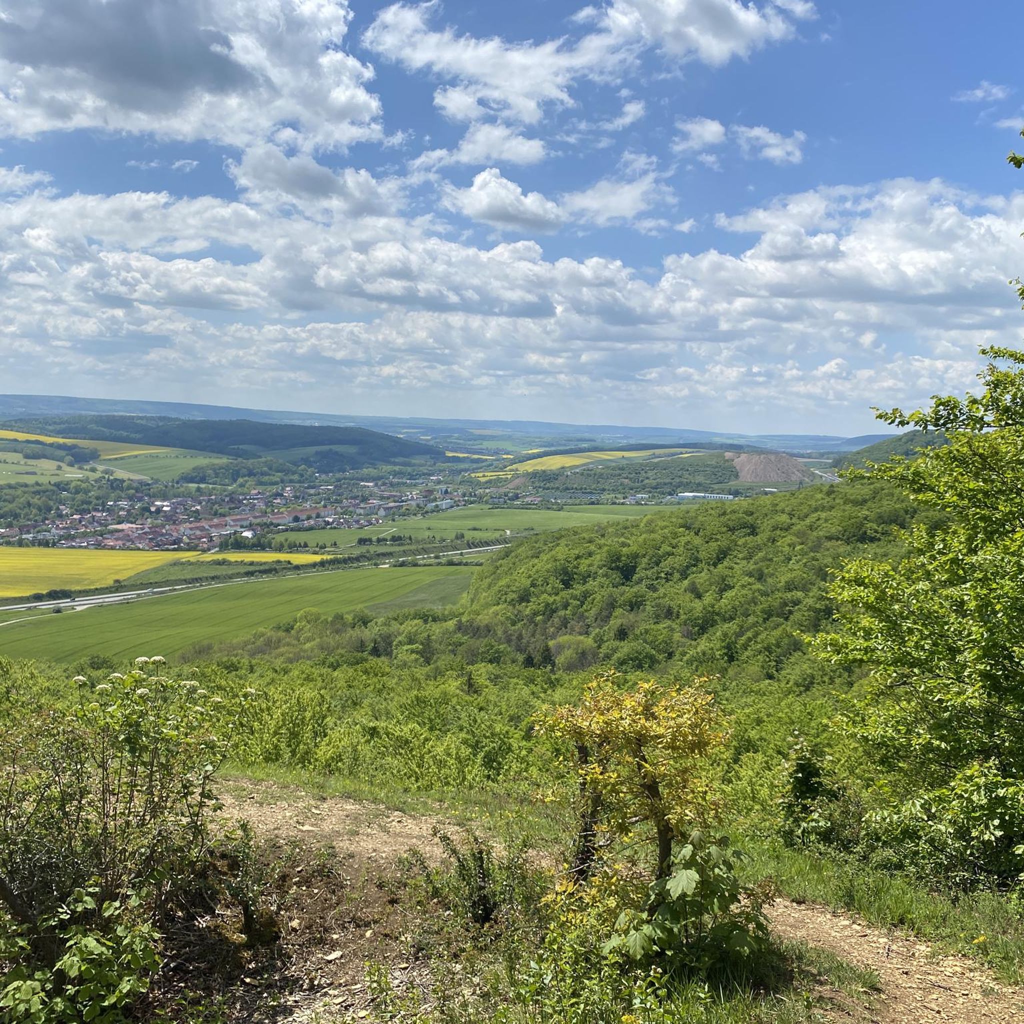
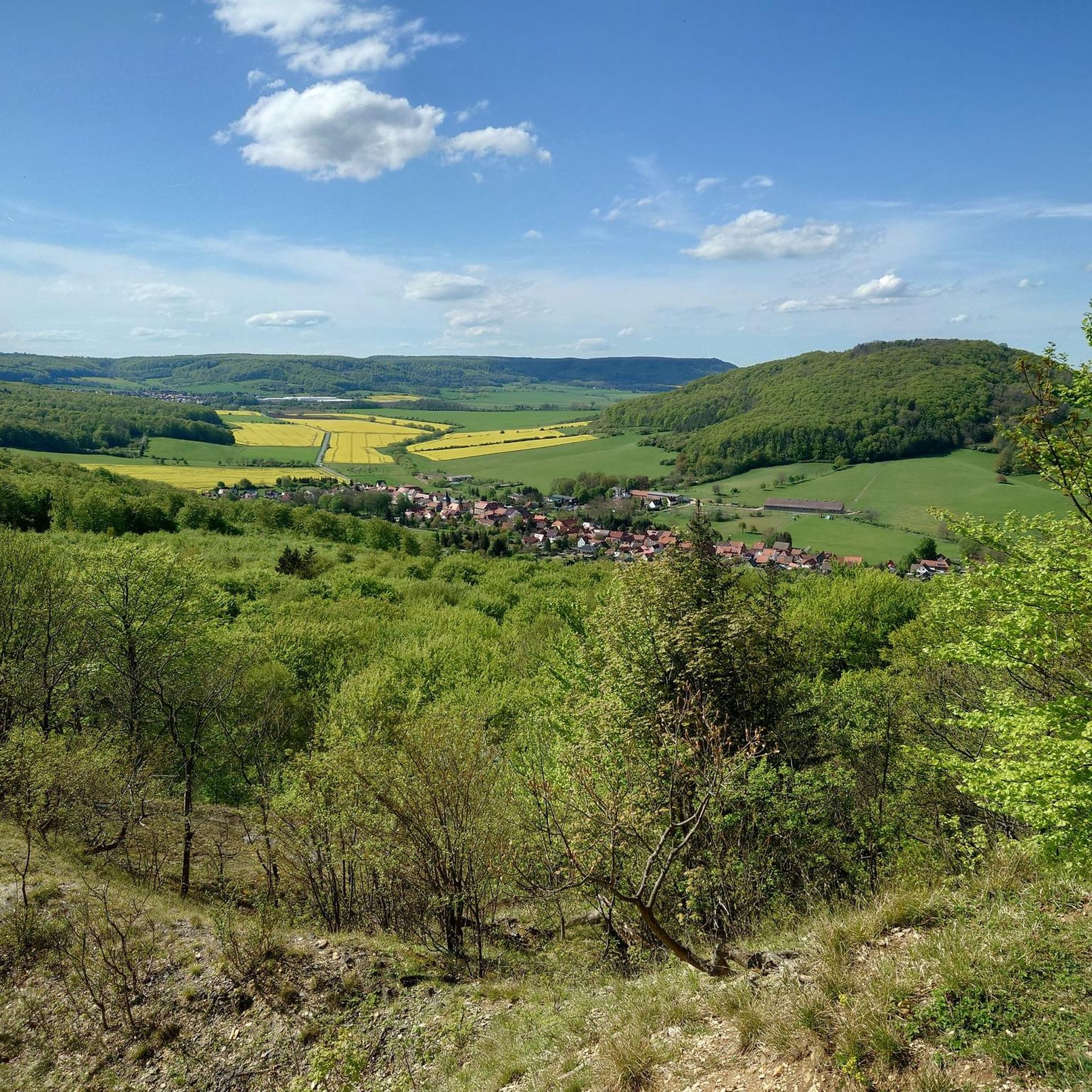
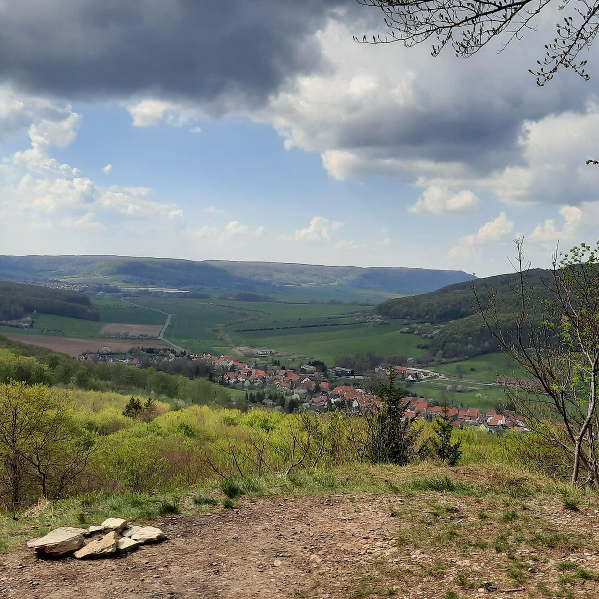
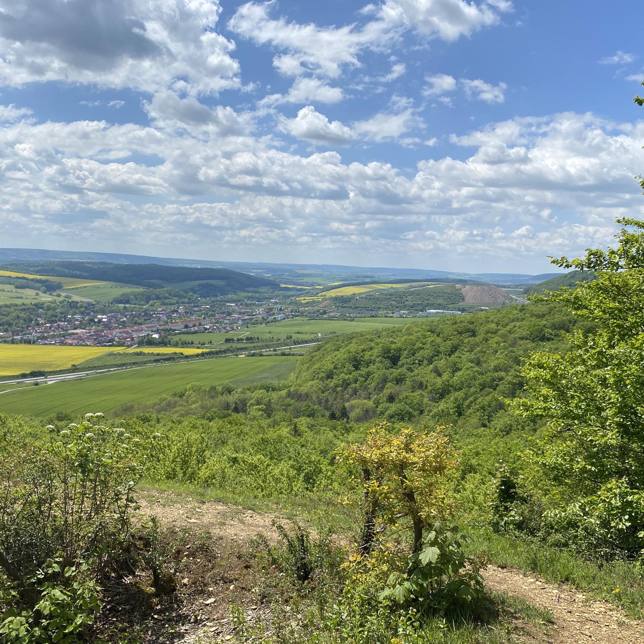
Tips from the Community

Very steep and sturdy shoes would be an advantage.
0
0
Very nice view over Bleicherode 👌🏼
0
0


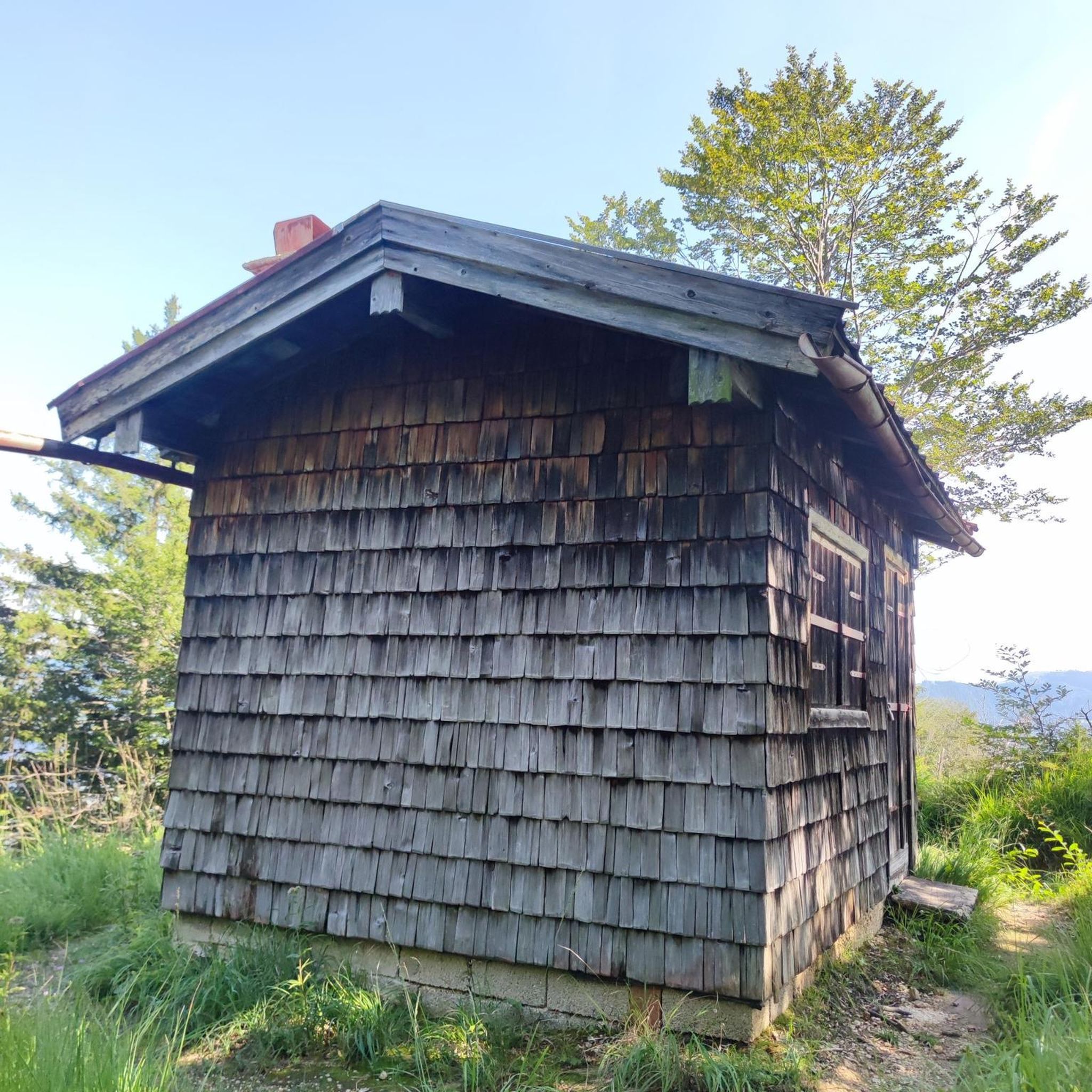
Since this year, there has also been a great forest tavern there, which was set up by the Bleicherode Miners' Association.
1
0

A good starting point for a hike for anyone who wants to avoid the climb out of the city.
3
0
You should be at least a little sure-footed and wear appropriate footwear. It's definitely a special place.
4
0
Frequently Asked Questions
What kind of landscape can I expect when hiking in the Bleicheröder Berge?
The Bleicheröder Berge region is characterized by rolling hills and extensive forests, primarily composed of beech and pine trees thriving on muschelkalk soil. You'll find picturesque scenery with shaded paths and diverse flora and fauna, including rare plant species and various wildlife. The Bode river also flows to the northeast, adding to the natural charm.
Are there hiking trails suitable for families or beginners in the Bleicheröder Berge?
Yes, the Bleicheröder Berge offers a range of easy hikes and walks, making it suitable for all fitness levels, including short hikes and family-friendly outings. For example, the Krajaer Kopf – Harzblick Viewpoint – View of Kraja loop from Bleicherode is an easy 3.8-mile trail that offers great views.
What natural features or attractions can I see along the hiking trails?
Hikers can discover several natural monuments and charming resting places. Notable spots include the Kuhbrunnen Spring, which is a delightful spot for a break, and the Mönchsborn. You can also find various viewpoints offering scenic vistas, such as the View from Vogelbergklippen of Bleicherode.
What is the typical duration and distance of hikes in the Bleicheröder Berge?
Hikes in the Bleicheröder Berge vary in length and duration. Many popular routes are around 3.8 to 6.4 miles (6 to 10 km) long, typically taking between 1.5 to 3 hours to complete. For instance, the Bleichbach – Three Benches Viewpoint loop from Bleicherode is about 3.8 miles and takes around 1 hour 43 minutes.
Are there any circular hiking routes in the Bleicheröder Berge?
Yes, many of the trails in the Bleicheröder Berge are designed as circular routes, allowing you to start and end at the same point. Examples include the Harzblick Viewpoint – View of Kraja – Bleichbach loop from Bleicherode and the Henriettenhöhe Viewpoint – Three Benches Viewpoint loop from Bleicherode.
What is the best time of year to go hiking in the Bleicheröder Berge?
The Bleicheröder Berge is beautiful year-round, but spring and autumn are particularly popular due to pleasant temperatures and vibrant foliage. The extensive forests provide shaded paths, making it enjoyable even on warmer days. The region's diverse flora, including 14 native orchid species, is especially stunning in spring.
Are dogs allowed on the hiking trails in the Bleicheröder Berge?
Generally, dogs are welcome on hiking trails in the Bleicheröder Berge. It's always recommended to keep them on a leash, especially in forested areas to protect wildlife such as roe deer, wild boar, and red kites, and to respect other hikers. Please ensure you clean up after your pet.
What are the difficulty levels of the hiking trails in the Bleicheröder Berge?
The Bleicheröder Berge offers a good mix of trail difficulties. Out of the 18 available routes, 12 are classified as easy, and 6 are moderate. There are no difficult trails, making the area accessible for a wide range of hikers, from beginners to those looking for a more challenging moderate trek.
Are there good viewpoints in the Bleicheröder Berge?
Yes, the Bleicheröder Berge features several excellent viewpoints. The Henriettenhöhe Viewpoint and Shelter and the View from Vogelbergklippen of Bleicherode offer scenic vistas of the surrounding landscape. The "Krajäer Kopf – Harzblick Viewpoint" loop also provides panoramic views.
What do other hikers enjoy most about hiking in the Bleicheröder Berge?
The area is highly rated by the komoot community, with an average score of 4.7 stars from over 390 reviews. Hikers often praise the diverse terrain, the extensive and well-maintained forest paths, and the scenic viewpoints that offer rewarding vistas of the region.
Is there public transport available to reach the hiking trails in the Bleicheröder Berge?
While specific public transport routes directly to trailheads can vary, Bleicherode itself is a town that can be accessed by regional public transport. From there, many trails are within walking distance or a short local bus ride. It's advisable to check local bus schedules for connections to specific starting points.
Are there parking facilities available near the hiking trailheads?
Yes, many trailheads and popular starting points for hikes in the Bleicheröder Berge have designated parking areas. These are often located near the towns or villages surrounding the hills, such as Bleicherode, providing convenient access for hikers arriving by car.
Most popular routes around Bleicheröder Berge
Most popular attractions around Bleicheröder Berge

Get inspired with the komoot mobile app


Explore more
Browse the best Hikes in other regions.
