The best mountain hikes around Zeller Forest
4.2
(225)
1,887
hikers
37
hikes
Mountaineering routes around Zeller Forest, located in Landkreis Bad Tölz-Wolfratshausen, Germany, offer diverse terrain for outdoor enthusiasts. The region features a mix of forested slopes, alpine pastures, and prominent summits like Rechelkopf and Zwiesel. Mountaineering routes often traverse varied landscapes, including moorland areas and higher elevations with significant ascents. This area provides a range of trails from gentle paths through valleys to challenging climbs to mountain peaks.
Best mountaineering routes around Zeller Forest
- The most popular mountaineering route is Catholic…
Last updated: July 4, 2026
2
hikers
Easy mountaineering route. Great for any fitness level. Easily-accessible paths. Suitable for all skill levels.
11
hikers
17.9km
05:55
700m
700m
Hard mountaineering route. Very good fitness required. Mostly accessible paths. Sure-footedness required.

Sign up for free
5
hikers
18.5km
05:31
500m
500m
Hard mountaineering route. Very good fitness required. Mostly accessible paths. Sure-footedness required.
4.3
(8)
59
hikers
14.9km
04:54
610m
610m
Moderate mountaineering route. Good fitness required. Mostly accessible paths. Sure-footedness required.
4.6
(8)
58
hikers
16.8km
05:39
700m
700m
Hard mountaineering route. Very good fitness required. Mostly accessible paths. Sure-footedness required.
Get access to more routes and recommendations from other explorers.
Sign up for free
Already have an account?
Our route recommendations are based on thousands of hikes, rides, and runs completed by other people on komoot.
Start today with a free account
Your next adventure awaits.
Login or Signup

Tips from the Community

Preferably take the route via Sulzkopf, if you are coming from Gaißach, as the standard route recommended by komoot is very muddy.
1
0

The "Bridge of Humanity" stands near the Blomberghaus. From the bridge, intended to connect people's hearts, softwood poles extend to all continents. Artist Marco Paulo (center, with hat) created the structure together with young asylum seekers (right and left). The hiking trail is maintained by the Tölzer Land Art Association, chaired by Patrizia Zewe (center, with umbrella). City Councilor Margot Kirste (center, black dress) is the patron.
0
0
The Zwiesel, also known as the Zwieselberg, is a 1,348 m above sea level mountain in the Bavarian Alps near Bad Tölz. The mountain can be reached via an easy hike with a 620 m ascent from the Waldherralm car park in Wackersberg. The Zwiesel is located in the immediate vicinity of the Blomberg.
0
0

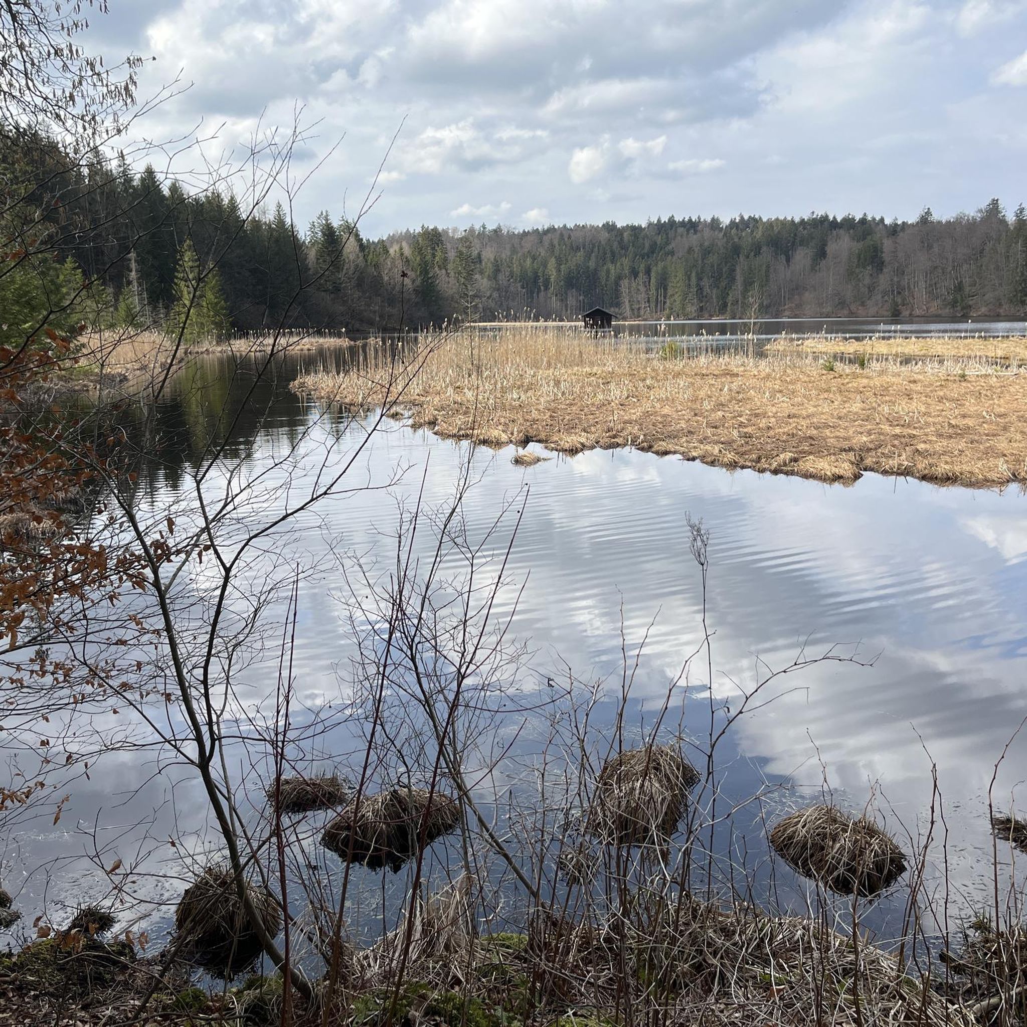
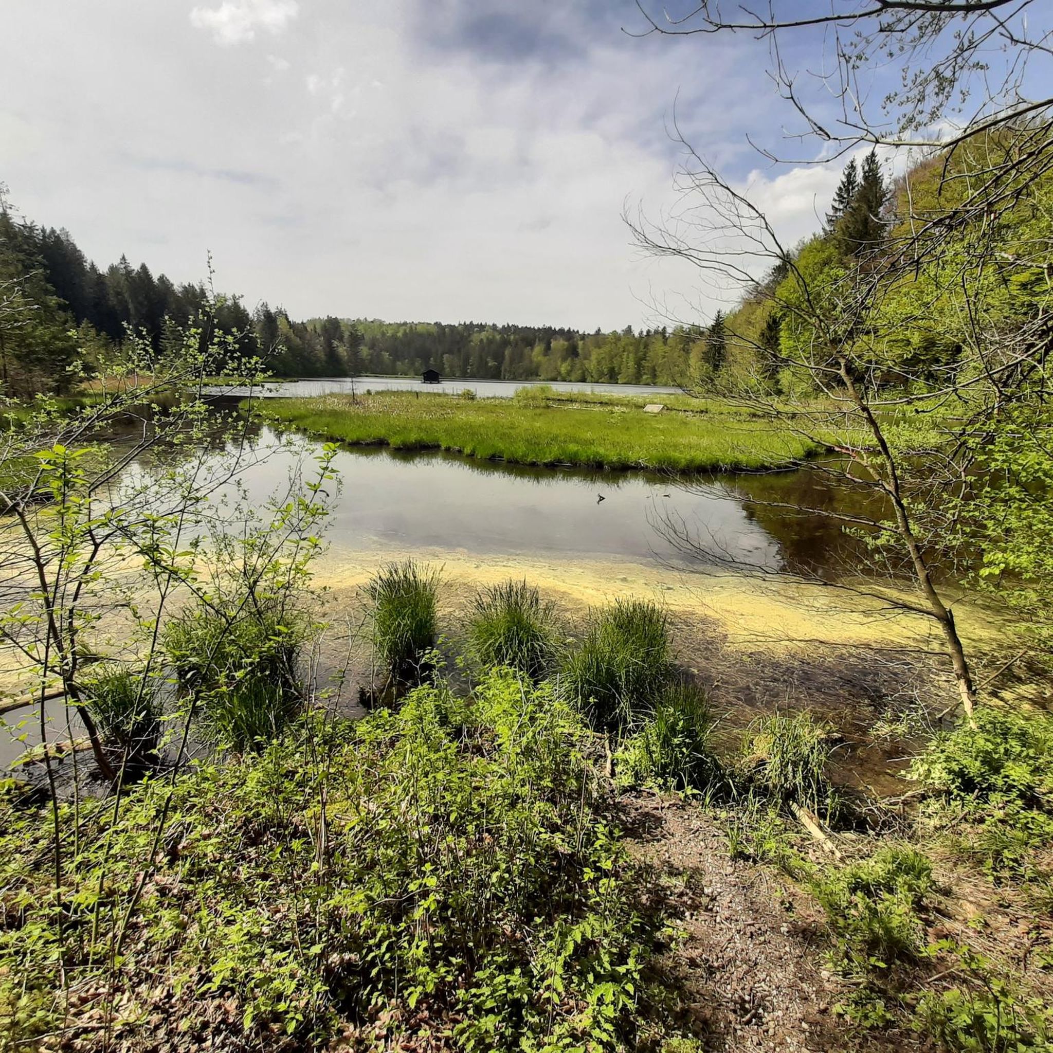
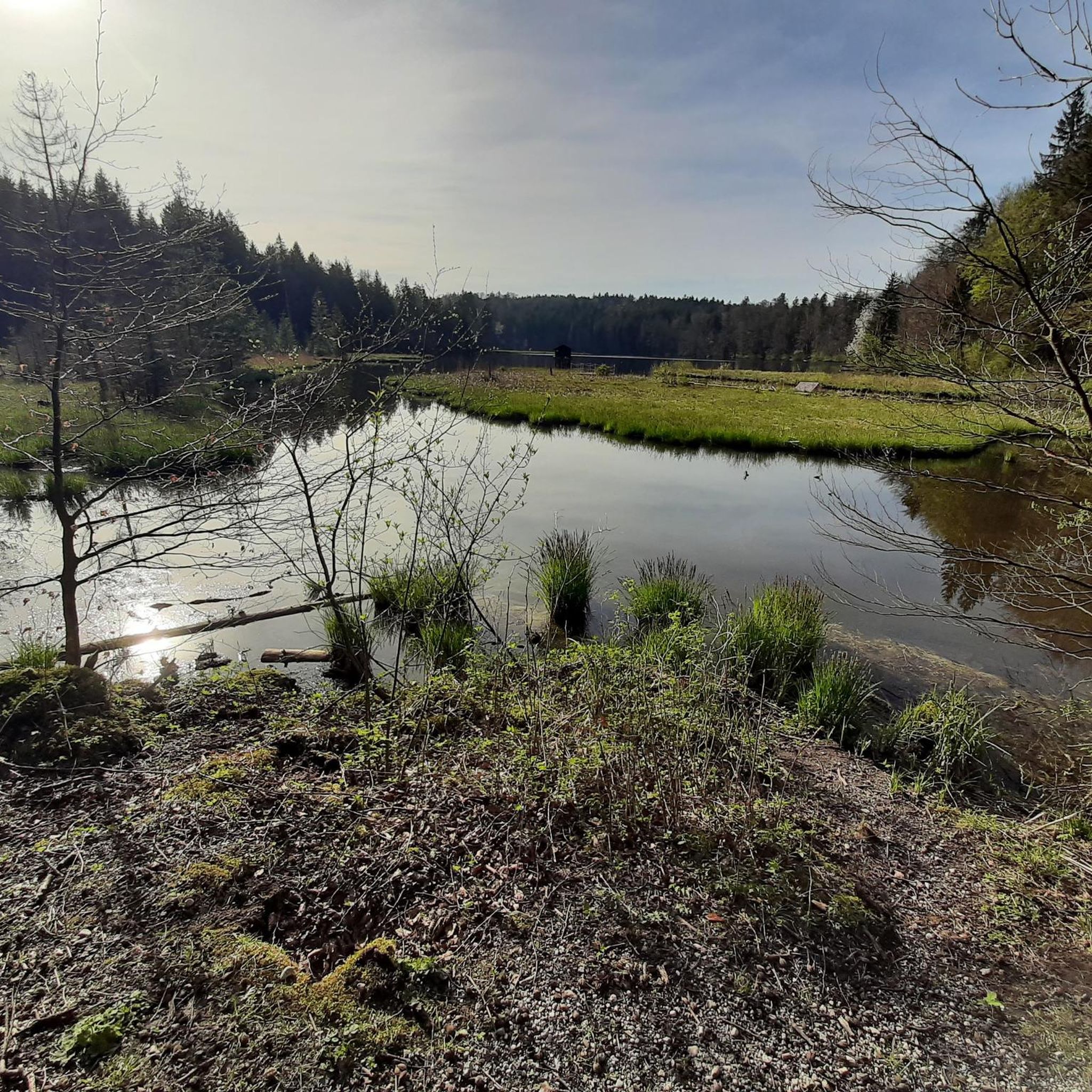
The Ellbach and Kirchseemoors have been a nature reserve since 1940 and a FFH area since 1998. The municipalities of Dietramszell and Sachsenkam, the town of Bad Tölz, and the market town of Holzkirchen all have shares in this protected area.
0
0

You can take a wonderful break at the small, lovingly restored chapel or at the alpine building. Please always treat the area with care and never leave any trash behind.
0
0


In the evening on the descent, make sure you take a few minutes and enjoy the view and the sunset!
0
0
The tour begins at the Waldherralm Wackersberg car park behind the "Lehen" district. The path has beautiful views and a snack/meal at the Blomberghaus is worth recommending. The climb up to Blomberg is quite steep. But the effort is rewarded with a view of 3 peaks (Heigelkopf, Blomberg Ostgipfel, Zwiesel). On the descent from Zwiesel we deviated from the steep path downhill about 1100m after the summit cross and took a small, flatter detour along a farm track, as can be seen on our tour map.
0
0
Frequently Asked Questions
How many mountaineering routes are available in Zeller Forest?
Zeller Forest offers a wide selection of mountaineering routes, with over 35 different tours to explore. These routes cater to various skill levels, from easy strolls to challenging summit ascents.
What kind of terrain can I expect on mountaineering routes in Zeller Forest?
Mountaineering routes in Zeller Forest feature diverse terrain, including dense forested slopes, expansive alpine pastures, and unique moorland areas. You'll also find prominent summits like Rechelkopf and Zwiesel, offering significant ascents and varied landscapes.
Are there routes suitable for beginners in Zeller Forest?
Yes, Zeller Forest has several routes suitable for beginners. For an easy introduction to the region's natural features, consider the Catholic branch church of St. Martin – Ellbacher Moor loop from Ellbach. This 3.6-mile (5.7 km) trail is relatively flat and takes about 1 hour 30 minutes to complete.
What are some of the more challenging mountaineering routes in Zeller Forest?
For experienced mountaineers seeking a challenge, Zeller Forest offers several difficult routes. The Rechelkopf Summit – Schwaiger Alm loop from Bad Tölz is a demanding 11.0-mile (17.7 km) path with significant elevation gain. Another challenging option is the View of Bad Tölz – Zwiesel Summit loop from Bad Tölz, which also features substantial ascents to the Zwiesel Summit.
Are there circular mountaineering routes in Zeller Forest?
Yes, many mountaineering routes in Zeller Forest are designed as loops, allowing you to start and end at the same point. Popular circular options include the Catholic branch church of St. Martin – Ellbacher Moor loop from Ellbach and the Blomberg Cross – Blomberghaus Mountain Inn loop from Bad Tölz.
What natural attractions can I discover along the mountaineering routes in Zeller Forest?
Along the mountaineering routes, you can discover beautiful natural attractions such as the Kirchsee and the Ellbach and Kirchsee Moor. These areas offer serene landscapes and unique ecosystems to explore.
Are there any interesting landmarks or points of interest near the mountaineering routes?
Yes, you can find several interesting landmarks. The Hackensee Weir is a notable man-made monument, and the Schindelberg Summit Cross offers a rewarding destination with views.
What do other mountaineers say about the routes in Zeller Forest?
The mountaineering routes in Zeller Forest are highly regarded by the komoot community, with an average score of 4.3 stars from over 200 reviews. Reviewers often praise the varied terrain, the well-maintained paths, and the beautiful natural scenery, especially the mix of forested slopes and alpine pastures.
Are there family-friendly mountaineering routes in Zeller Forest?
While many routes involve significant elevation, there are options suitable for families. The easy Catholic branch church of St. Martin – Ellbacher Moor loop from Ellbach is a good choice for a gentle outing with children, offering a pleasant walk through moorland.
Can I bring my dog on the mountaineering trails in Zeller Forest?
Generally, dogs are welcome on many trails in Zeller Forest. However, it's always advisable to keep your dog on a leash, especially in areas with livestock or wildlife, and to check local regulations for specific routes or protected areas. Ensure your dog is fit enough for the chosen trail.
What is the best time of year for mountaineering in Zeller Forest?
The best time for mountaineering in Zeller Forest is typically from late spring to early autumn (May to October). During these months, the weather is generally more stable, trails are clear of snow, and the alpine pastures are lush. Always check local weather forecasts before heading out.
Are there options for parking near the mountaineering trailheads?
Yes, many popular trailheads in Zeller Forest, especially those starting from towns like Bad Tölz or Ellbach, offer designated parking areas. It's recommended to check specific route descriptions on komoot for detailed parking information for your chosen tour.
Are permits required for mountaineering in Zeller Forest?
For general mountaineering and hiking on marked trails in Zeller Forest, permits are typically not required. However, if you plan to engage in specific activities like climbing or access certain protected areas, it's always wise to check with local authorities or park management for any special regulations.
Most popular routes around Zeller Forest
Most popular attractions around Zeller Forest

Get inspired with the komoot mobile app


Explore more
Browse the best Mountain Hikes & Routes in other regions.
