The best road cycling routes around Angerlohe
4.5
(5626)
73,144
riders
681
rides
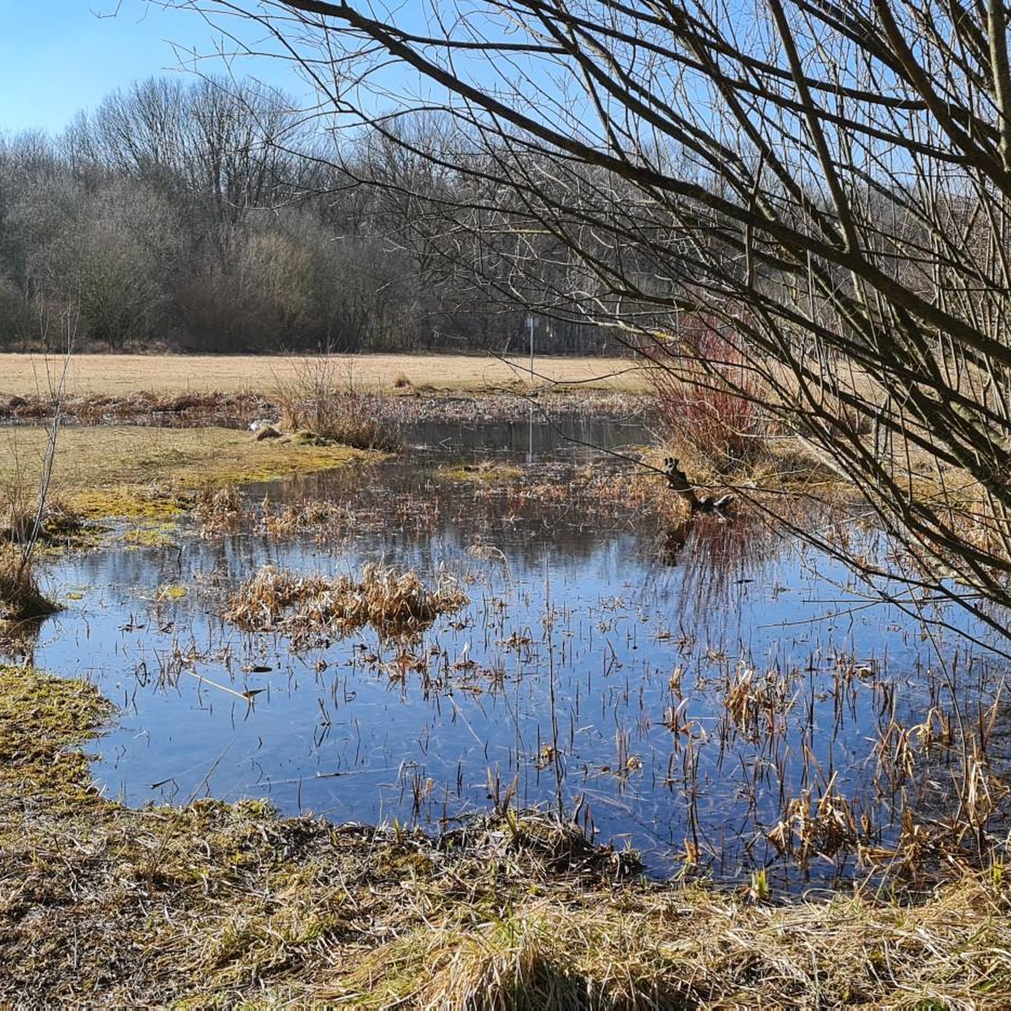
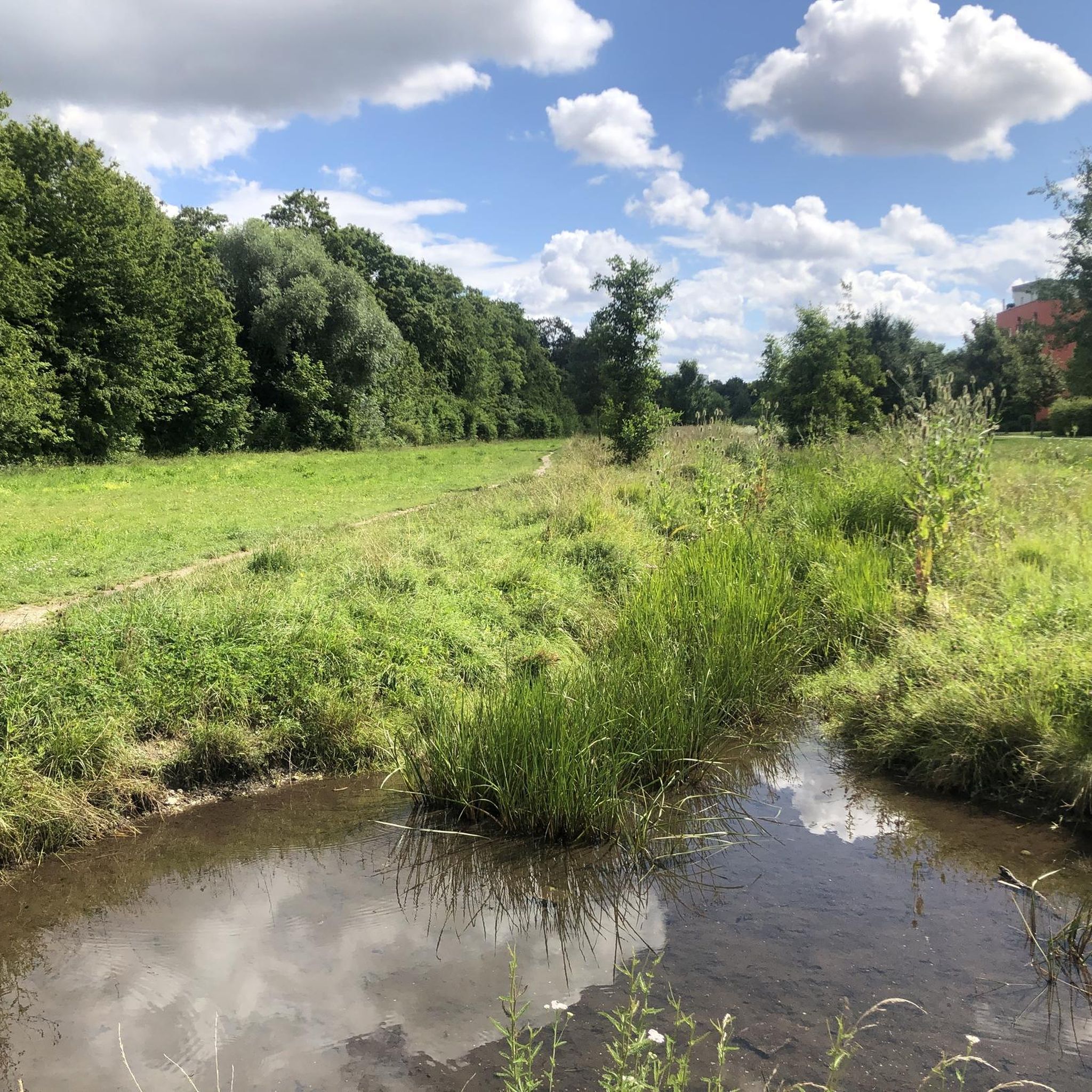
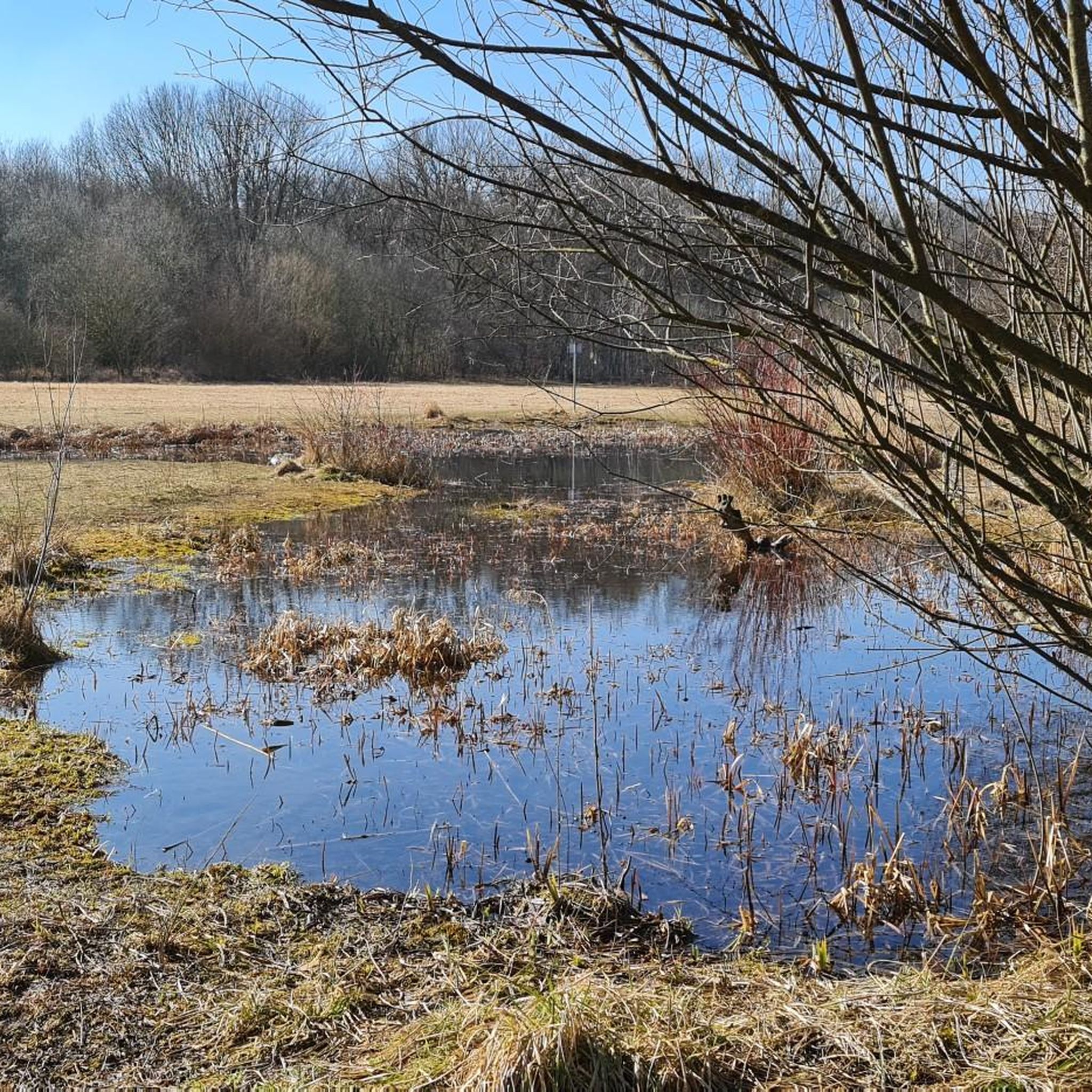
Road cycling routes around Angerlohe traverse the broader Munich district, offering extensive cycling opportunities around this ancient woodland. The region features a mix of paved bike paths and secondary roads, often bordering natural spaces like the Angerlohe forest. While Angerlohe itself is a protected landscape with oak and beech woodlands and heathlands, the surrounding terrain provides diverse options, from flat sections to more challenging inclines.
Best road cycling routes around Angerlohe
- The most popular road cycling route is Tree-Lined Avenue…
Last updated: July 4, 2026
4.0
(11)
96
riders
39.4km
01:40
80m
80m
Moderate road ride. Great for any fitness level. Some segments of this route may be unpaved and difficult to ride.
4.7
(18)
54
riders
21.5km
00:50
40m
40m
Easy road ride. Great for any fitness level. Mostly well-paved surfaces and easy to ride.

Sign up for free
5.0
(1)
36
riders
51.9km
02:06
210m
210m
Moderate road ride. Good fitness required. Mostly well-paved surfaces and easy to ride.
4.8
(4)
25
riders
45.0km
01:54
210m
210m
Moderate road ride. Great for any fitness level. Some segments of this route may be unpaved and difficult to ride.
4.0
(3)
27
riders
43.3km
01:49
240m
240m
Moderate road ride. Great for any fitness level. Some segments of this route may be unpaved and difficult to ride.
Get access to more routes and recommendations from other explorers.
Sign up for free
Already have an account?
Our route recommendations are based on thousands of hikes, rides, and runs completed by other people on komoot.
Start today with a free account
Your next adventure awaits.
Login or Signup
Tips from the Community


long, quiet road with beautiful panoramic views
0
0

The lake is absolutely beautiful at night!
15
0


Beer garden Schießstätte in Allach on the other side of the Würm
1
0

Beautiful shady beer garden with good food
0
0

🌅🌳 Feldmochinger See is located in the northwest of the state capital, bordering Karlsfeld. Together with Lerchenauer See and Fasaneriesee, it forms the so-called Three Lakes Plateau. Because the lake's shores are lined with many mature trees and shrubs, there is plenty of shade on the spacious sunbathing areas. Barbecuing is permitted in the western part of the lake. You'll also find several volleyball courts and a fitness trail. On the eastern shore, there is a large children's playground and many activities for families. To the south, you'll find the nudist area and a natural biotope. Another special feature of the lake is the disabled bathing area with a wheelchair ramp on the northern shore. Feldmochinger See is 16 hectares in size and up to six meters deep. Three freshwater springs ensure refreshing temperatures and excellent water quality all year round. How to get there: There are approximately 1,000 parking spaces available. The lake is also a popular destination for cycling tours in northern Munich. It is also easily accessible by public transport via the Feldmoching subway and S-Bahn stations, and on foot. https://www.muenchen.de/freizeit/seen/feldmochinger-see
8
0

Last swing on the way to Munich/Allach/Karlsfeld after a Bergkirchen round
1
0
Frequently Asked Questions
How many road cycling routes are available around Angerlohe?
There are over 700 road cycling routes available around Angerlohe, offering extensive opportunities to explore the broader Munich district. These routes cater to various preferences, from easy loops to more challenging rides.
What kind of terrain can I expect on road cycling routes around Angerlohe?
Road cycling routes around Angerlohe feature a mix of paved bike paths and secondary roads. While Angerlohe itself is a tranquil, flat woodland, the broader Munich region offers varied topography. You can find routes with flat sections as well as those with more challenging inclines, especially if you venture towards the foothills of the Alps.
What is the best time of year for road cycling near Angerlohe?
The best time for road cycling near Angerlohe is typically during spring, summer, and early autumn. Spring brings wildflowers like wood anemones and liverworts to the forest floor, while summer and autumn offer pleasant temperatures for longer rides. The region's extensive cycling network is enjoyable in most non-winter conditions.
Are there options for different skill levels among the road cycling routes?
Yes, the routes around Angerlohe cater to various skill levels. You'll find over 130 easy routes, more than 520 moderate routes, and around 45 difficult routes. This variety ensures that both beginners and experienced road cyclists can find suitable options.
What natural features or landmarks can I see along road cycling routes near Angerlohe?
While road cycling routes primarily use paved paths, they often border natural spaces. You can expect to see remnants of ancient oak and beech woodlands, heathlands, and artificial ponds that serve as habitats for amphibians. Notable points of interest include the Angerlohe Forest itself, the Northern Gate of Angerlohe, and a Historic Archway in Angerlohe.
What do other cyclists say about road cycling in this area?
The road cycling routes around Angerlohe are highly rated by the komoot community, with an average score of 4.5 stars from over 5,100 reviews. More than 70,000 road cyclists have explored the area, often praising the scenic tree-lined sections and the well-maintained paths that connect natural areas.
Are there family-friendly road cycling routes around Angerlohe?
Yes, many of the routes around Angerlohe are suitable for families, especially the easier, flatter sections. The region's network of paved bike paths and secondary roads provides safe and enjoyable options. For example, the Tree-Lined Avenue – Lippweg Cycling Route loop from Allach is an easy 13.3-mile ride that can be completed in under an hour.
Can I bring my dog on road cycling routes near Angerlohe?
While Angerlohe is a protected natural area, road cycling routes typically follow paved roads and dedicated bike paths. If your dog is accustomed to riding in a trailer or can comfortably keep pace on a leash alongside your bike, many routes would be suitable. However, always ensure your dog's safety and adhere to local regulations regarding pets in protected areas.
How can I reach Angerlohe by public transport to start a cycling tour?
Angerlohe is located within the Allach-Untermenzing district of Munich, a city known for its extensive public transport network. You can typically reach the vicinity of Angerlohe via Munich's S-Bahn or bus services, which often have stops near the woodland. From there, you can easily access the surrounding road cycling routes. For detailed planning, consult local public transport schedules.
Is parking available for cyclists near Angerlohe?
Yes, as Angerlohe is part of the Munich metropolitan area, there are usually parking options available in the surrounding residential and commercial areas. Cyclists often find convenient parking in neighborhoods like Allach, which serves as a common starting point for many routes. Always check local signage for parking regulations.
Are there circular road cycling routes available?
Many of the road cycling routes around Angerlohe are designed as loops, allowing you to start and end your ride at the same point. Examples include the popular Tree-Lined Avenue – Bridge Sprint (Feldgeding) loop from Allach and the Lake Feldmochinger – Tree-Lined Pathway loop from Allach.
Are there cafes or pubs along the road cycling routes?
Given Angerlohe's proximity to Munich, you'll find various cafes, pubs, and restaurants in the surrounding districts and towns. Many road cycling routes pass through or near residential areas where you can stop for refreshments. It's advisable to check your route beforehand for specific establishments.
Most popular routes around Angerlohe
Most popular attractions around Angerlohe

Get inspired with the komoot mobile app


Explore more
Browse the best Road cycling routes in other regions.
