The best road cycling routes around Antioch
5.0
(1)
18
riders
4
rides
Road cycling routes around Antioch, California, traverse a landscape characterized by diverse natural features, including rolling hills, wetlands, and waterways. The region offers a network of routes that pass by reservoirs and open spaces, providing varied terrain for cyclists. These paths often feature well-paved surfaces, with some segments potentially including unpaved sections. The area's geography supports both easier rides and more challenging options with elevation gains.
Best road cycling routes around Antioch
- The most popular road cycling route is Benedict…
Last updated: May 16, 2026
5.0
(1)
7
riders
61.8km
02:44
310m
310m
Moderate road ride. Good fitness required. Mostly well-paved surfaces and easy to ride.
3
riders
52.1km
02:30
270m
270m
Moderate road ride. Good fitness required. Some segments of this route may be unpaved and difficult to ride.

Sign up for free
2
riders
27.6km
01:38
100m
100m
Moderate road ride. Great for any fitness level. Some segments of this route may be unpaved and difficult to ride.
1
riders
31.5km
01:26
90m
90m
Easy road ride. Great for any fitness level. Mostly well-paved surfaces and easy to ride.
1
riders
41.8km
01:51
150m
150m
Easy road ride. Great for any fitness level. Mostly well-paved surfaces and easy to ride.
Our route recommendations are based on thousands of hikes, rides, and runs completed by other people on komoot.
Start today with a free account
Your next adventure awaits.
Login or Signup


Tips from the Community

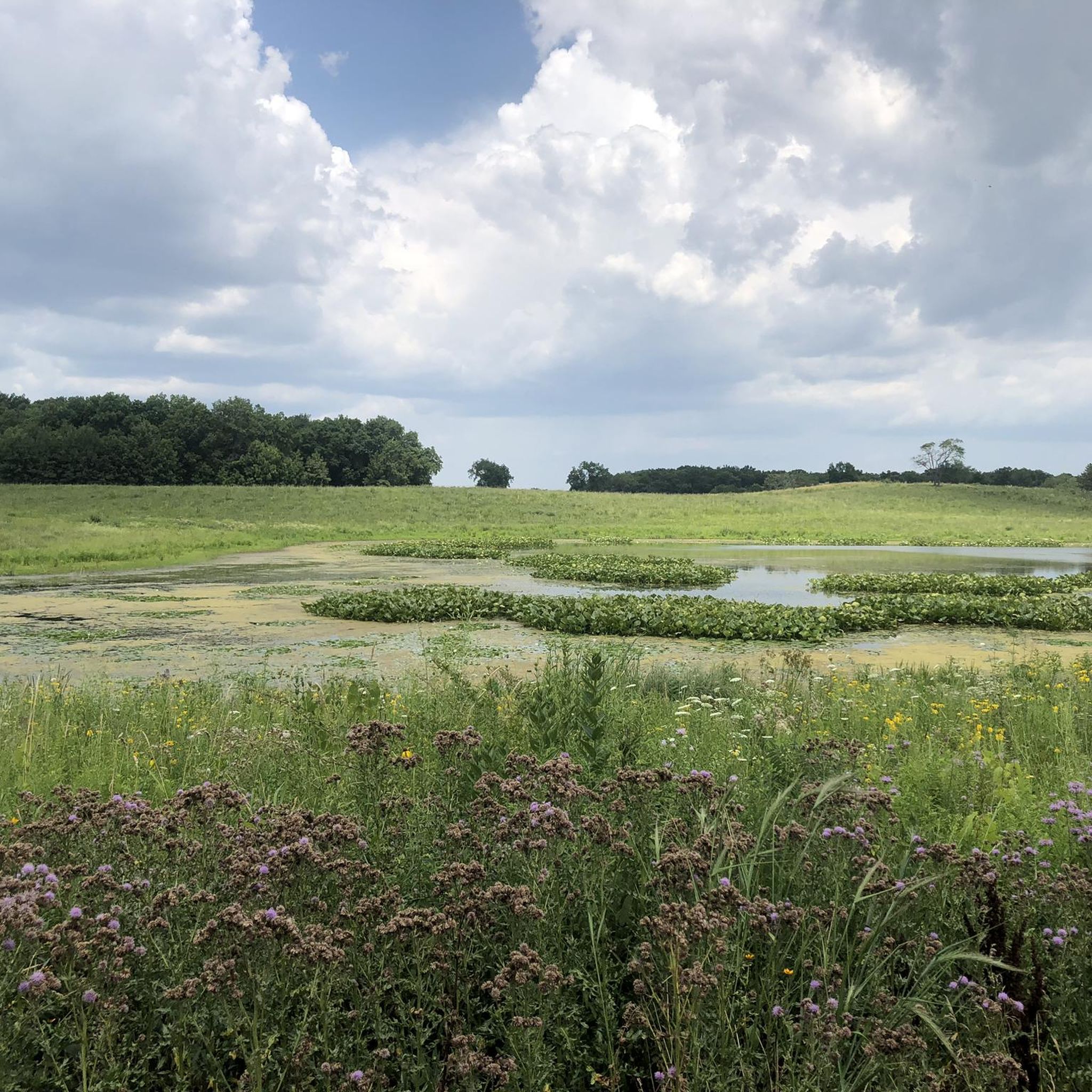
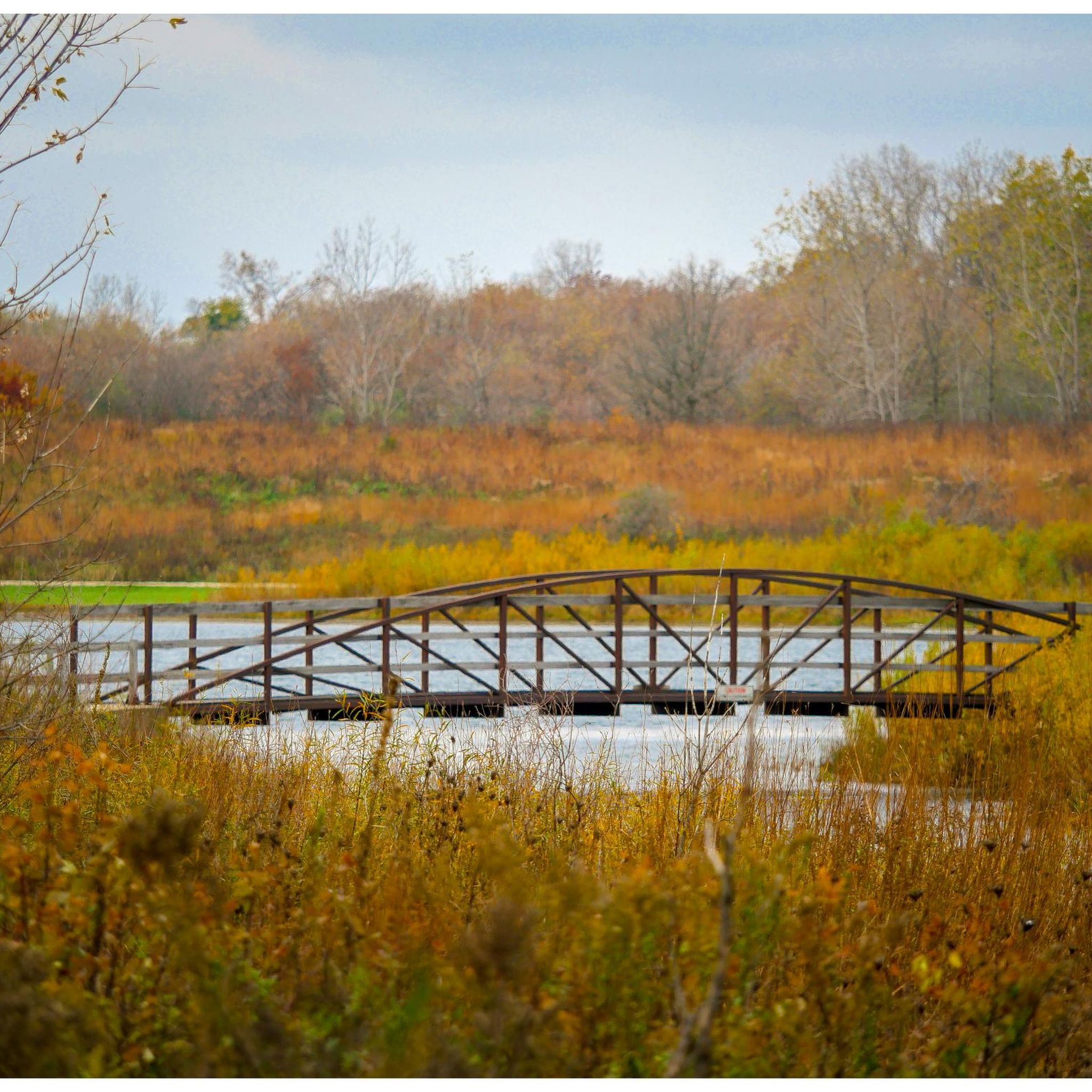
Rollins Savanna Forest Preserve encompasses wetlands, groves of large oaks, and open prairies teeming with wildflowers and native grasses. It features smooth gravel trails, bridges, and boardwalks, where you can spot wildlife and enjoy birdwatching along the way.
0
0
Third Lake is the biggest of the lakes within the Rolling Savanna Forest Preserve Area. This side of the lake is a residential area, but has a beautiful view of the woods surrounding the lake.
0
0

A 1,200 acre prairie preserve in Grayslake, Rollins Savanna Forest Preserve is the epitome of a lush landscape. With diverse wildlife and terrain, you'll have no issue finding a moment of peace and adventure in Lake County's local wilderness.
0
0


This part of the Millenium trail is particularly fine to ride on, because it consists of a very fine gravel.
0
0

You can bike, run, fishing, Kayaking or swim in Lake Andrea just outside of RecPlex.
0
0
Frequently Asked Questions
How many road cycling routes are available in Antioch?
Antioch and its surroundings offer a wide network of cycling routes. There are over 74 cycling routes available, covering a tracked distance of 4,755 km. On komoot, you can find 4 curated road cycling routes, with options ranging from easy to moderate difficulty.
What kind of terrain can I expect on road cycling routes in Antioch?
Road cycling routes in Antioch traverse diverse landscapes, including rolling hills, wetlands, and waterways. You'll find paths that pass by reservoirs and open spaces, offering varied terrain. Many routes feature well-paved surfaces, though some segments may include unpaved sections, especially on more challenging options.
Are there routes suitable for beginners or those looking for an easier ride?
Yes, Antioch offers routes suitable for all fitness levels. For an easier ride, consider the Lake Andrea loop from Members Parking, which is an easy 31.5 km route. Another easy option is the Millennium Trail – Millennium Trail at Hook Drive loop from Lake Villa, covering 41.8 km.
Are there challenging road cycling routes with significant climbs in Antioch?
While the komoot curated routes in this guide are moderate to easy, the broader Antioch region does offer more challenging options. For instance, the Los Vaqueros Reservoir – Vineyard Climb loop is a challenging 79.4 km route with a 340-meter elevation gain, requiring good fitness due to potentially unpaved segments. The Lake Alhambra/Byron loop also presents a moderate challenge with 420 meters of elevation gain over 60 km.
What do other cyclists say about road cycling in Antioch?
The road cycling routes in Antioch are highly rated by the komoot community, with an average score of 5.0 stars from over 1 review. More than 18 road cyclists have used komoot to explore Antioch's varied terrain, often praising the diverse scenery and well-maintained paths.
What natural features or landmarks can I see along the road cycling routes in Antioch?
Many routes offer scenic views of natural features. You might encounter wetlands, grasslands, and wooded areas along trails like the Marsh Creek Regional Trail. Routes often pass by lakes and reservoirs, such as Lake Andrea, or offer views of the San Joaquin River. You can also explore areas like Rollins Savanna Forest Preserve or the Millennium Trail.
Are there any loop trails for road cycling in Antioch?
Yes, many road cycling routes in Antioch are designed as loops, offering a convenient way to start and end your ride in the same location. Examples include the Benedict Lake loop from Antioch, the Cedar Lake Beach – Loon Lake loop from Third Lake, and the Third Lake – Millennium Trail loop from Millburn.
Where can I find information about parks and recreational spaces in Antioch?
Antioch is rich in green spaces, with over 30 city parks providing numerous recreational opportunities. For more details on specific parks and facilities, you can visit the official Antioch city website: antiochca.gov/Parks-Spaces.
Is there a place to learn or practice road cycling in Antioch?
Yes, Antioch is developing a "Bicycle Garden" at Prewett Park. This park-like facility is designed to help people of all ages and abilities learn and practice road cycling rules in a safe, simulated environment. You can find more information about this initiative on the Contra Costa Transportation Authority's website: ccta.ca.gov/planning/antioch-bike-garden/.
What is the best time of year to go road cycling in Antioch?
Antioch generally offers favorable conditions for road cycling for much of the year. Spring and fall typically provide pleasant temperatures, making them ideal for longer rides. Summers can be warm, so early morning or late afternoon rides are often preferred. Winters are generally mild, allowing for year-round cycling, though occasional rain may occur.
Are there any longer road cycling routes for extended rides?
For those seeking longer rides, the Benedict Lake loop from Antioch is a substantial option at 61.8 km. The region also features routes like the Lake Alhambra/Byron loop, which is 60 km, and the challenging Los Vaqueros Reservoir – Vineyard Climb loop, extending to 79.4 km.
Can I find routes that pass by lakes or reservoirs?
Absolutely. Many road cycling routes in Antioch incorporate views of local water bodies. The Benedict Lake loop from Antioch and the Lake Andrea loop from Members Parking are prime examples. The region also features Contra Loma Regional Park with its 80-acre reservoir and the well-known Los Vaqueros Reservoir, both popular spots that can be incorporated into rides.
Are there any routes that offer scenic views of wetlands or waterways?
Yes, the Marsh Creek Regional Trail – Big Break Regional Shoreline loop is a moderate 52.9 km route that provides scenic views of wetlands, grasslands, and wooded areas along Marsh Creek. The Big Break Regional Shoreline itself is known for its diverse natural environment with marshes, wetlands, and waterways, offering excellent birdwatching opportunities.
Most popular routes around Antioch
Most popular attractions around Antioch

Get inspired with the komoot mobile app


Explore more
Browse the best Road cycling routes in other regions.
