The best walks and hikes around Angram Reservoir
4.6
(678)
5,430
hikers
114
hikes
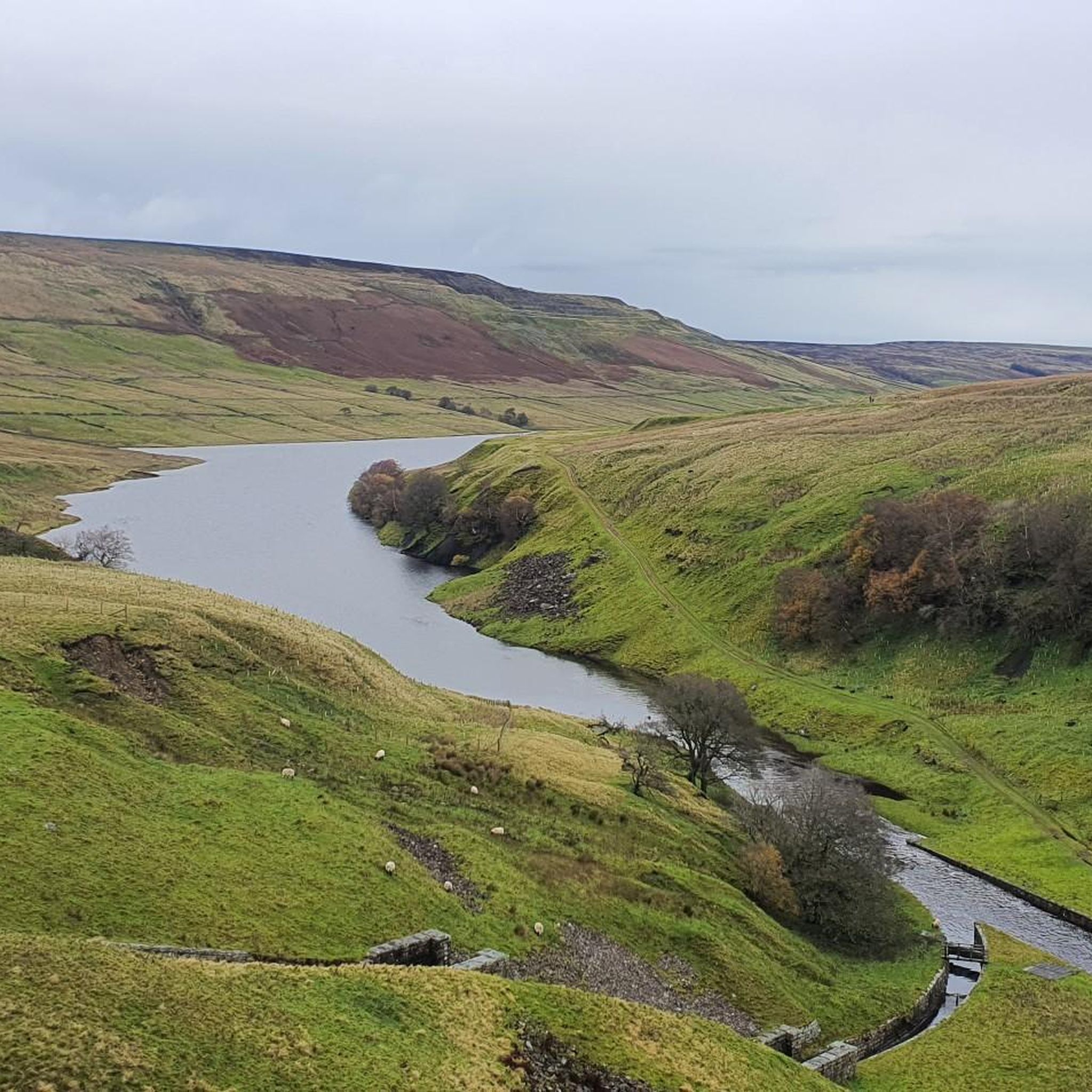
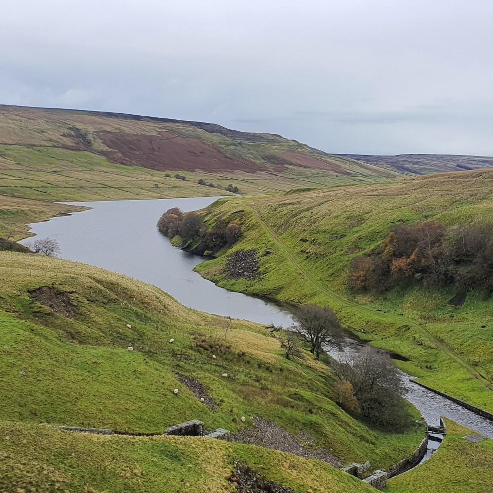
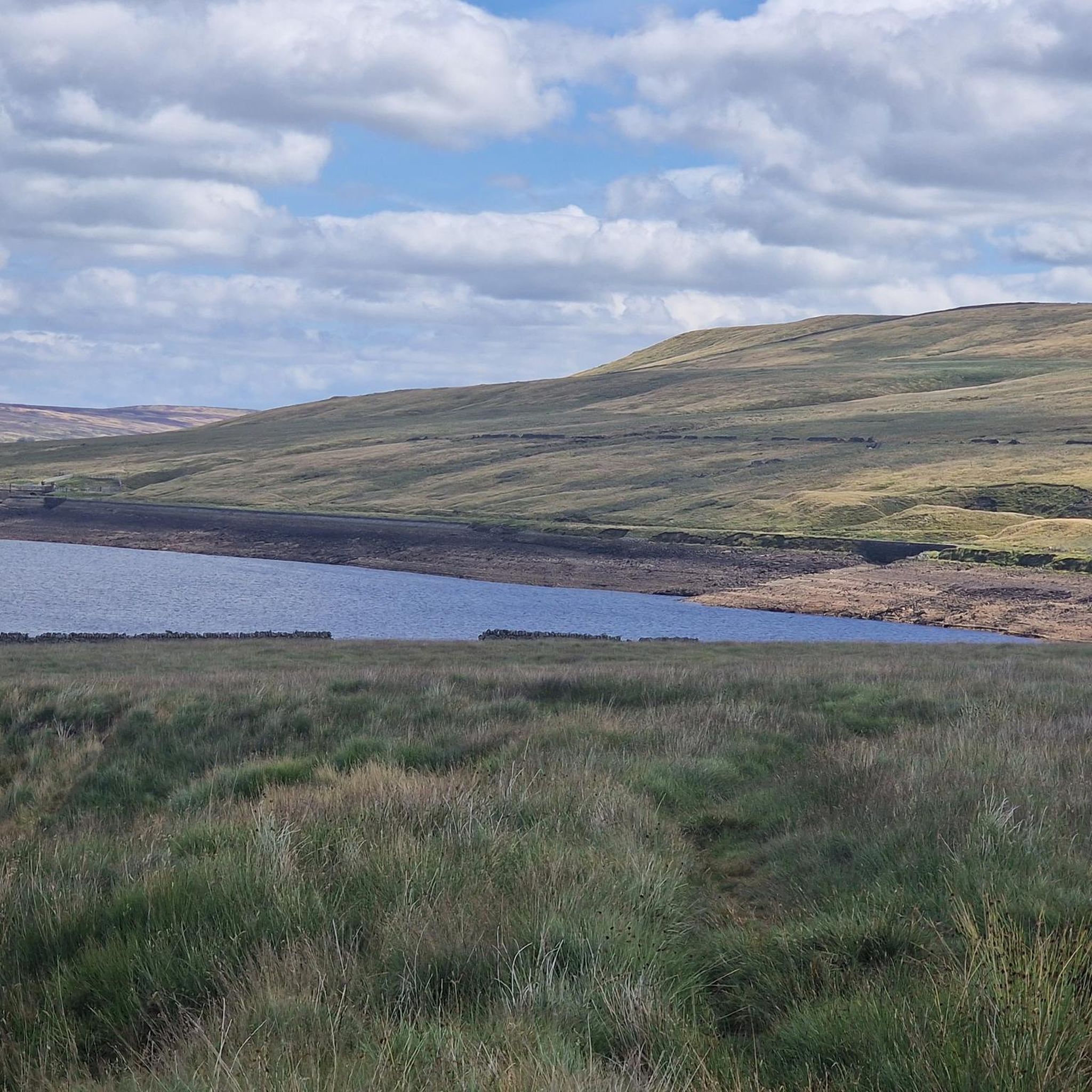
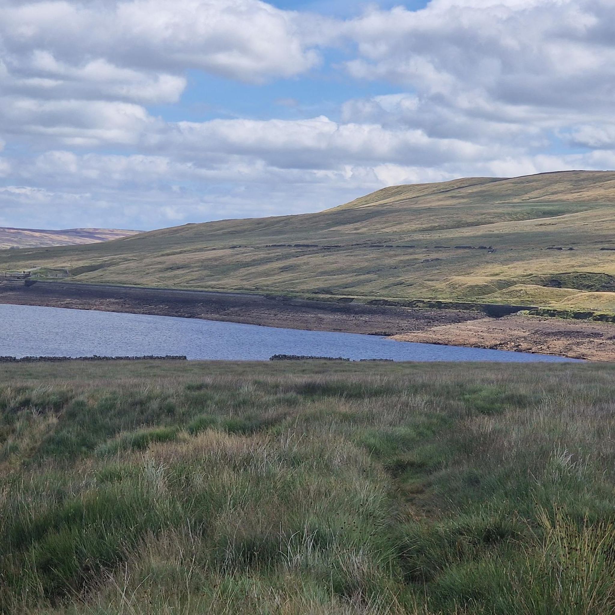
Hiking trails around Angram Reservoir are set within Upper Nidderdale, an Area of Outstanding Natural Beauty in North Yorkshire. The landscape features two large reservoirs, boulder-strewn hillsides, rough grassland, and moorland on higher slopes, with some mixed woodland below the Scar House dam. Prominent peaks like Little Whernside and Great Whernside define the surrounding terrain, with the River Nidd flowing into the reservoir. This region offers a diverse environment for outdoor activities.
Best hiking trails around Angram Reservoir
- The most…
Last updated: June 25, 2026
4.9
(8)
74
hikers
10.5km
02:46
90m
90m
Moderate hike. Good fitness required. Easily-accessible paths. Suitable for all skill levels.
3
hikers
Hard hike. Very good fitness required. Easily-accessible paths. Suitable for all skill levels.

Sign up for free
4.7
(20)
203
hikers
Easy hike. Great for any fitness level. Easily-accessible paths. Suitable for all skill levels.
5.0
(7)
46
hikers
Hard hike. Very good fitness required. Easily-accessible paths. Suitable for all skill levels.
4.0
(4)
28
hikers
Moderate hike. Good fitness required. Easily-accessible paths. Suitable for all skill levels.
Get access to more routes and recommendations from other explorers.
Sign up for free
Already have an account?
Our route recommendations are based on thousands of hikes, rides, and runs completed by other people on komoot.
Start today with a free account
Your next adventure awaits.
Login or Signup
Tips from the Community

A victory memorial, not a roll of honour, hence it lists key WW1 dates and not names. It was originally a drinking fountain and was repurposed as a memorial in 1920.
0
0


Wonderful cafe with great food. High above the gorge, it has glass floor panels where you can see the river beneath. Well worth a stop.
0
0

The village is located in Upper Nidderdale, North Yorkshire. It is a quiet place that is surrounded by beautiful countryside.
0
0

The village of Lodge on the edge of the valley had originally been established around a grange farm as part of the Cistercian Byland Abbey in medieval times. Occupied until the 1920's there are plaques against the ruined buildings and a small map on a display board showing you the locations of them. remains of the five buildings can still be seen and the ruined houses, with their stone flagged floors and old kitchen ranges they would have a bleak and simple lifestyle.
0
0
There is a small shelter on the West side of the Dam along the access wall which has seats inside ideal for a picnic out of the wind and rain! (Although the birds also agree)
0
0
The reservoir was built to supply water to the Bradford area of West Yorkshire. It was built by Bradford Corporation between 1904 and 1919, under an Act of Parliament in 1890 which also authorised the corporation to construct three other reservoirs in upper Nidderdale.
0
0
Frequently Asked Questions
What kind of terrain can I expect when hiking around Angram Reservoir?
The terrain around Angram Reservoir is diverse, featuring two large reservoirs, boulder-strewn hillsides, rough grassland, and moorland on higher slopes. You'll also find some mixed woodland below the Scar House dam. While flat footpaths are available near the reservoirs, paths ascending the hillsides can be steep and uneven. The track leading directly to Angram Reservoir is made of crushed stone, offering more accessible sections.
Are there any easy or family-friendly hiking options around Angram Reservoir?
Yes, there are options suitable for families and those looking for easier walks. The area offers accessible pathways, particularly the crushed stone track leading to Angram Reservoir. An example of an easier route is the Scar House Reservoir and Dam – Scar House Reservoir Dam loop from Scar House Reservoir, which is 4.3 miles (7.0 km) long and generally takes less than two hours to complete.
What natural features or landmarks can I see while hiking in the area?
Hikers can enjoy several notable features. The massive walled Scar House Dam is a significant attraction, where water often cascades down its tall walls. The region is part of Upper Nidderdale, an Area of Outstanding Natural Beauty, with prominent peaks like Little Whernside (604 meters) and Great Whernside (704 meters) nearby. The River Nidd flows from Great Whernside directly into the reservoir. You might also spot various birds, including Ring Ouzel, Wheatear, and Whinchat on the hillsides, and Dippers and Grey Wagtails by the river.
Are there any circular walking routes available?
Yes, circular walking routes are a major draw. A popular option is the Scar House & Angram Reservoirs loop, which is 6.5 miles (10.5 km) and allows you to admire both reservoirs and their dramatic spillway arches.
What is the best time of year to hike around Angram Reservoir?
The area offers beauty year-round. During spring and summer, the hillsides above the reservoirs are frequented by birds such as Ring Ouzel, Wheatear, and Whinchat, making it an excellent time for wildlife viewing. The serene atmosphere and stunning views are present throughout the year, though weather conditions can vary, so checking forecasts is always recommended.
Is Angram Reservoir a good place for stargazing?
Yes, Angram Reservoir is recognized as a Dark Skies site. Its remote and beautiful setting offers exceptional opportunities for stargazing, making it a unique destination for evening visits.
What historical points of interest are there in the area?
The area holds historical interest related to the construction of the reservoirs. You can find the remains of the submerged settlement of Angram, from which the reservoir takes its name, and the village of Lodge, which was cleared during the reservoir's development. These add a unique historical dimension to the walks.
How many hiking trails are available around Angram Reservoir?
There are over 110 hiking trails available around Angram Reservoir, catering to various difficulty levels. This includes 21 easy routes, 67 moderate routes, and 24 difficult routes, ensuring options for different fitness levels and preferences.
What do other hikers enjoy most about the trails here?
The area is highly rated by the komoot community, with an average score of 4.5 stars from over 600 reviews. Hikers often praise the dramatic reservoir landscapes, the peaceful environment, and the diverse terrain that offers both accessible paths and challenging ascents.
Are there any challenging routes for experienced hikers?
Yes, for experienced hikers seeking a challenge, routes like the Scar House Reservoir and Bull Brae Shooting House loop from Scar House Reservoir Car Park — Nidderdale offer a difficult 13.4 miles (21.6 km) path. This route winds through moorland and provides expansive views of the Nidderdale landscape.
Is there parking available at Angram Reservoir?
While the guide doesn't specify exact parking locations, it mentions routes starting from 'Scar House Reservoir Car Park', indicating that parking facilities are available in the vicinity of the reservoirs, which are interconnected.
Can I bring my dog on the hiking trails?
The region is generally welcoming to outdoor enthusiasts. While specific dog-friendly policies for every trail are not detailed, many natural areas in the UK allow dogs, often requiring them to be on a lead, especially in areas with livestock or ground-nesting birds. It's always advisable to check local signage for any specific restrictions.
Most popular routes around Angram Reservoir

Get inspired with the komoot mobile app


Explore more
Browse the best Hikes in other regions.
