The best MTB trails around Hury Reservoir
3.7
(4)
16
riders
4
rides
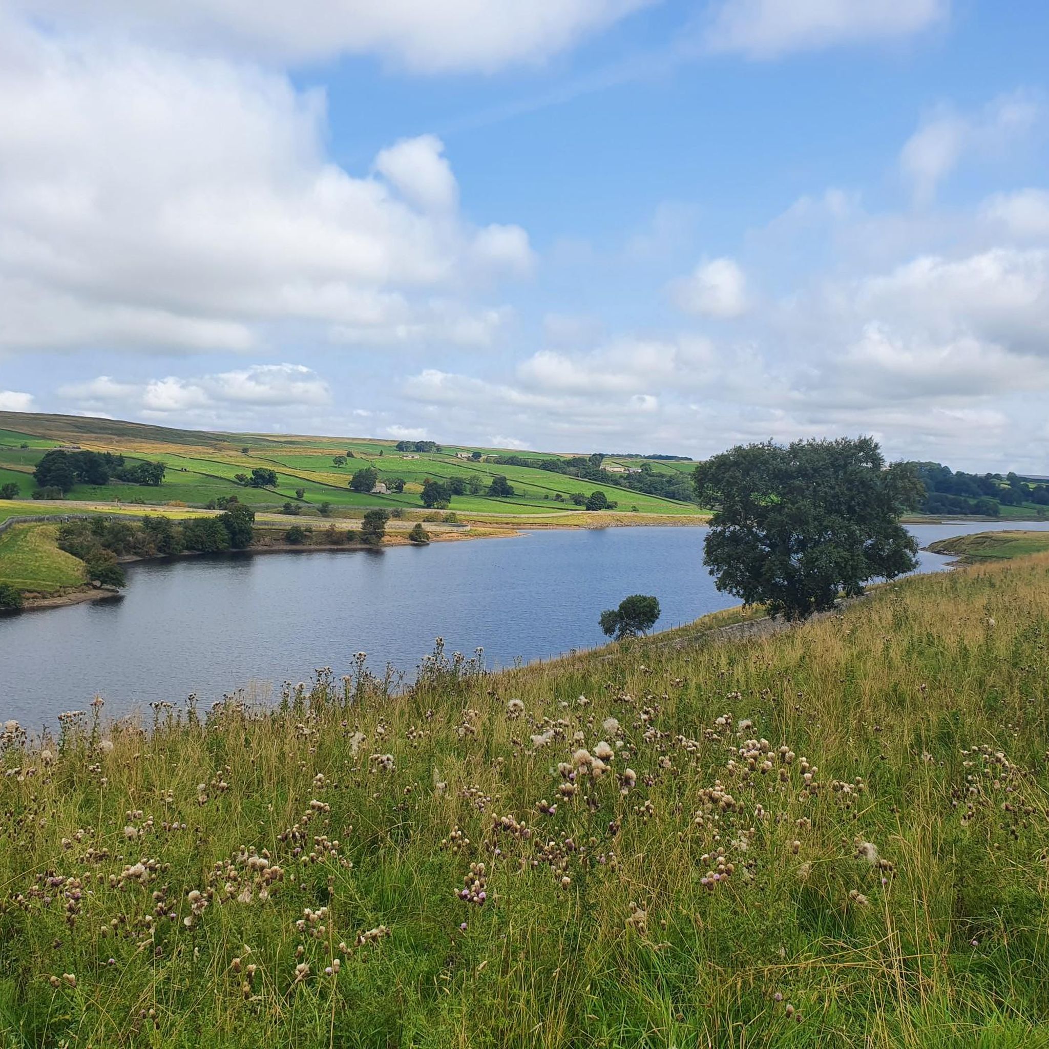
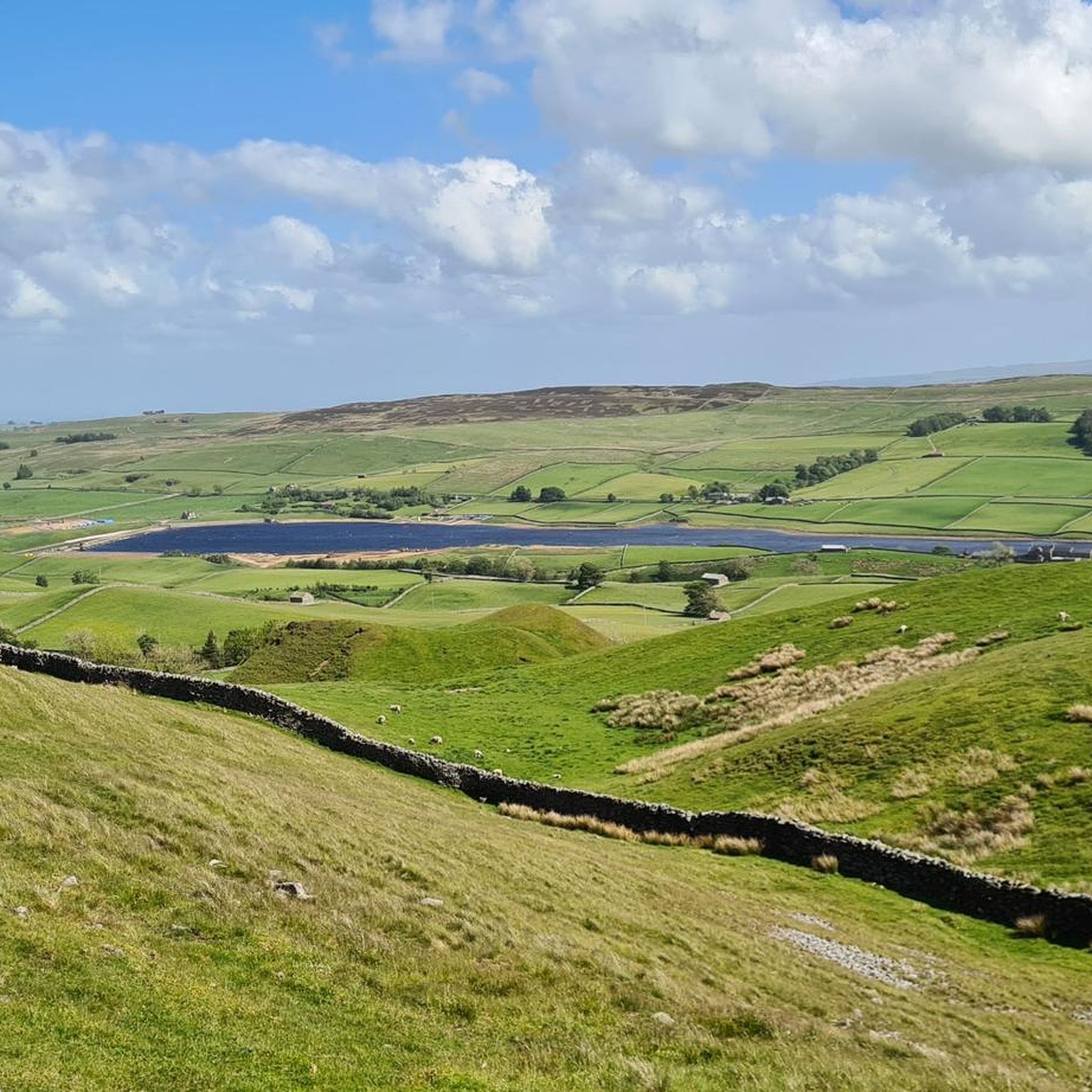
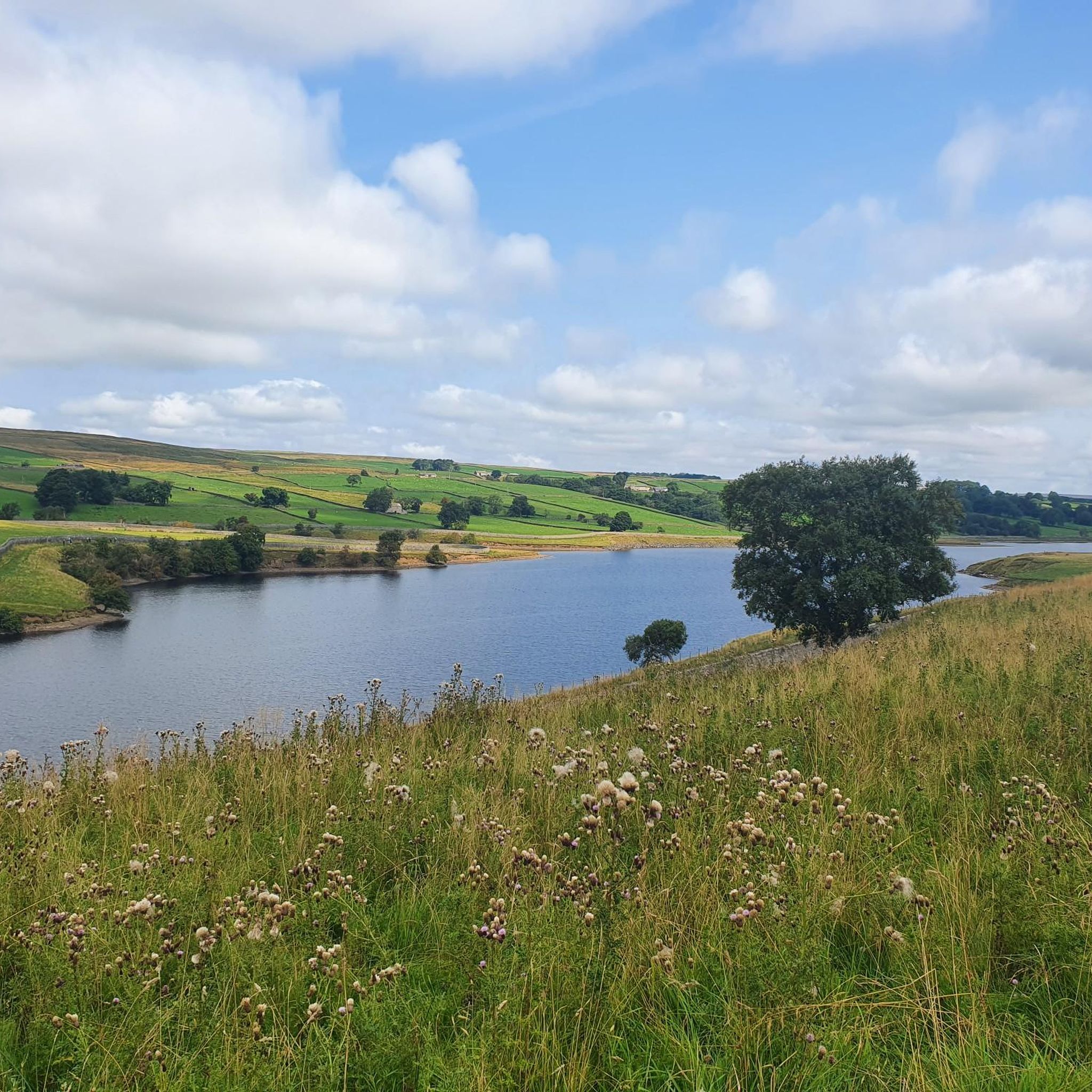
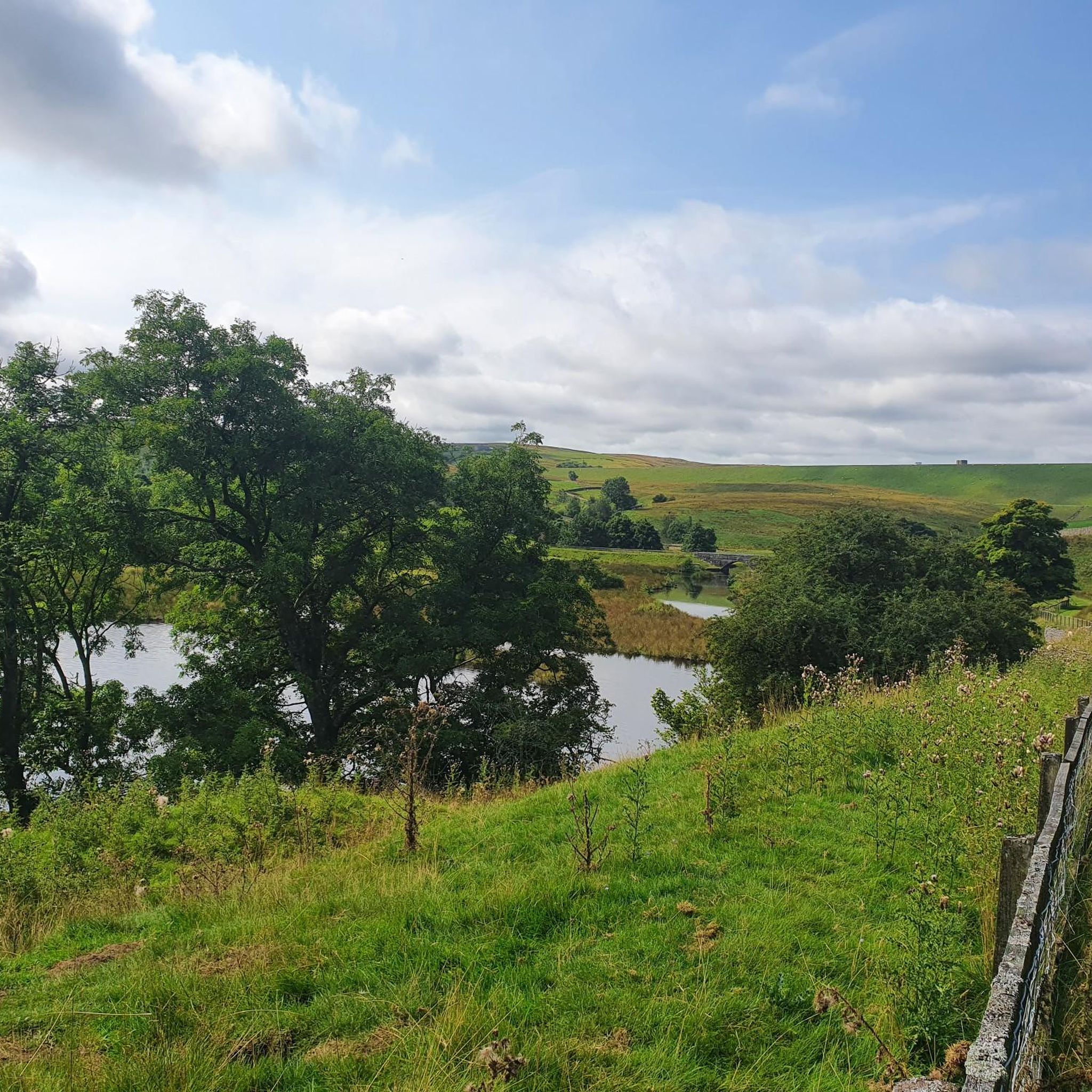
Mountain biking around Hury Reservoir offers varied terrain within County Durham, characterized by open moors, reservoir banks, and rolling countryside. The area provides access to routes that traverse both off-road sections and quieter lanes, with notable elevation changes. Hury Reservoir is part of a series of three reservoirs, allowing for extended rides connecting these bodies of water. The landscape features panoramic views and diverse natural features suitable for mountain biking.
Best mountain bike trails around Hury Reservoir
- The most popular…
Last updated: August 19, 2026
3.0
(1)
7
riders
32.8km
02:21
430m
430m
Moderate mountain bike ride. Good fitness required. Advanced riding skills necessary.
2
riders
20.7km
01:26
320m
320m
Moderate mountain bike ride. Good fitness required. Suitable for all skill levels.

Sign up for free
1
riders
23.4km
01:52
350m
350m
Moderate mountain bike ride. Good fitness required. Advanced riding skills necessary.
2
riders
46.9km
03:22
770m
770m
Moderate mountain bike ride. Good fitness required. Advanced riding skills necessary.
4.0
(1)
2
riders
20.0km
01:16
270m
270m
Easy mountain bike ride. Great for any fitness level. Suitable for all skill levels.
Our route recommendations are based on thousands of hikes, rides, and runs completed by other people on komoot.
Start today with a free account
Your next adventure awaits.
Login or Signup
Tips from the Community


Among the three reservoirs, Balderhead is the one located furthest to the west. It takes its waters from the River Balder, a tributary of the River Tees, and was built in 1961.
1
0
This viaduct was used as a railway for the Tees Valley Railway Company, for which it was built in 1868. Now, out of use, you can cross it on foot.
1
0
If you fancy a peaceful run in the area, you should definitely consider doing it around this beautiful spot. Besides the joy of running near the water, it's an ideal way to discover this rural gem and the landscapes that surround it.
1
0

Constructed during the Victorian era, this footbridge spanning the River Tees was initially designed to convey water from the elevated moorland to the coastal industrial towns. it now serves as a cycling and pedestrian bridge, with fantastic views over the water, including that of the castle.
1
0

What3Words Location = ///beam.hindered.glorious
0
0

Old railway viaduct that you can now use as a walker or cyclist. Impressive.
1
0
Frequently Asked Questions
How many mountain bike trails are available around Hury Reservoir?
There are currently 4 mountain bike trails available around Hury Reservoir on komoot, offering a range of experiences for different skill levels.
Are there any easy mountain bike trails suitable for beginners or families?
Yes, for those seeking a less challenging ride, the Bowes Castle Ruins – Bowes Castle Ruins loop from Barnard Castle is an easy 19.5 km trail with a moderate elevation gain of 261 meters, making it a good option for beginners or families.
What kind of terrain can I expect on the mountain bike trails around Hury Reservoir?
The terrain around Hury Reservoir is varied, featuring open moors, reservoir-side paths, and rolling hills. You can expect a mix of off-road sections and quieter lanes, with some routes, like the Baldersdale packhorse trail, including boggy ground and steep climbs.
Are there any circular mountain bike routes in the area?
Yes, many of the trails are designed as loops. For example, the Blackton Reservoir – Grassholme Reservoir loop from Middleton Quarry SSSI is a 33.5 km circular route that explores multiple reservoirs. Another option is the Blackton Reservoir – Barn Honesty Snack Stop loop from Romaldkirk, a moderate 20.7 km circular path.
What are some scenic views or natural features I can expect to see while mountain biking?
The area boasts panoramic countryside views of County Durham. You'll ride alongside Hury, Blackton, and potentially Balderhead Reservoirs, offering tranquil waterscapes. The surroundings are rich in wildlife, and you might spot various bird species, especially near the bird hide at Blackton Reservoir.
Are there any interesting landmarks or attractions along the mountain bike trails?
Yes, you can encounter several points of interest. The Bowes Castle Ruins – God's Bridge loop from Bowes leads through varied terrain and historical sites. You can also see the historic Hury Reservoir Dam, completed in 1892, and ride along the Path Between Hury Reservoir and Bywash Channel.
What is the typical elevation gain on mountain bike trails around Hury Reservoir?
The mountain bike trails around Hury Reservoir feature notable elevation changes. For instance, the Deepdale Aqueduct – The Stang Climb loop from Barnard Castle involves a significant ascent of 775 meters, while other routes like the Blackton Reservoir – Grassholme Reservoir loop have an elevation gain of around 432 meters.
What do other mountain bikers enjoy most about the Hury Reservoir area?
The area is highly rated by the komoot community, with an average score of 3.5 stars. Mountain bikers often praise the diverse scenery, the mix of off-road and on-road sections, and the opportunity to explore multiple reservoirs within a single ride.
Is there parking available for mountain bikers at Hury Reservoir?
While specific parking areas for mountain bikers are not detailed, Hury Reservoir is a popular outdoor destination, and parking facilities are generally available for visitors accessing the reservoir and its surrounding trails.
Are there any cafes or pubs near the mountain bike trails for refreshments?
The region around Hury Reservoir offers options for refreshments. While not directly on the reservoir banks, nearby villages and towns provide cafes and pubs where you can refuel after your ride.
What are the best times of year to go mountain biking at Hury Reservoir?
The best times to go mountain biking are typically during the drier months, from late spring through early autumn. This avoids the potentially boggy ground and challenging conditions that can occur on some off-road sections during wetter periods.
Can I extend my ride to other reservoirs in the area?
Absolutely. Hury Reservoir is the lowest in a series of three reservoirs on the River Balder. It is almost adjoined to Blackton Reservoir, and there is also access to Balderhead Reservoir, allowing for extended cycling routes that connect these scenic bodies of water.
Most popular routes around Hury Reservoir
Most popular attractions around Hury Reservoir

Get inspired with the komoot mobile app


Explore more
Browse the best MTB trails in other regions.
