The best road cycling routes around Malham Tarn
4.5
(51)
3,317
riders
74
rides
Road cycling around Malham Tarn features a diverse landscape within the Yorkshire Dales National Park. The area is characterized by a karstic limestone landscape, rolling hills, and rugged moorland, with Malham Tarn itself being England's highest freshwater lake. Routes often combine quiet tarmac roads with well-maintained gravel tracks, offering continuous views of the tarn and surrounding moorland. The terrain includes moderate slopes, providing varied cycling experiences.
Best road cycling routes around Malham Tarn
- The most popular road cycling route is…
Last updated: June 26, 2026
8
riders
88.8km
04:11
1,050m
1,050m
Hard road ride. Very good fitness required. Some segments of this route may be unpaved and difficult to ride.
40
riders
52.4km
02:35
710m
710m
Moderate road ride. Good fitness required. Mostly well-paved surfaces and easy to ride.

Sign up for free
3.0
(1)
16
riders
40.8km
01:54
480m
480m
Moderate road ride. Good fitness required. Mostly well-paved surfaces and easy to ride.
7
riders
38.0km
01:58
550m
550m
Moderate road ride. Good fitness required. Mostly well-paved surfaces and easy to ride.
21
riders
28.1km
01:21
400m
400m
Moderate road ride. Good fitness required. Mostly well-paved surfaces and easy to ride.
Get access to more routes and recommendations from other explorers.
Sign up for free
Already have an account?
Our route recommendations are based on thousands of hikes, rides, and runs completed by other people on komoot.
Start today with a free account
Your next adventure awaits.
Login or Signup
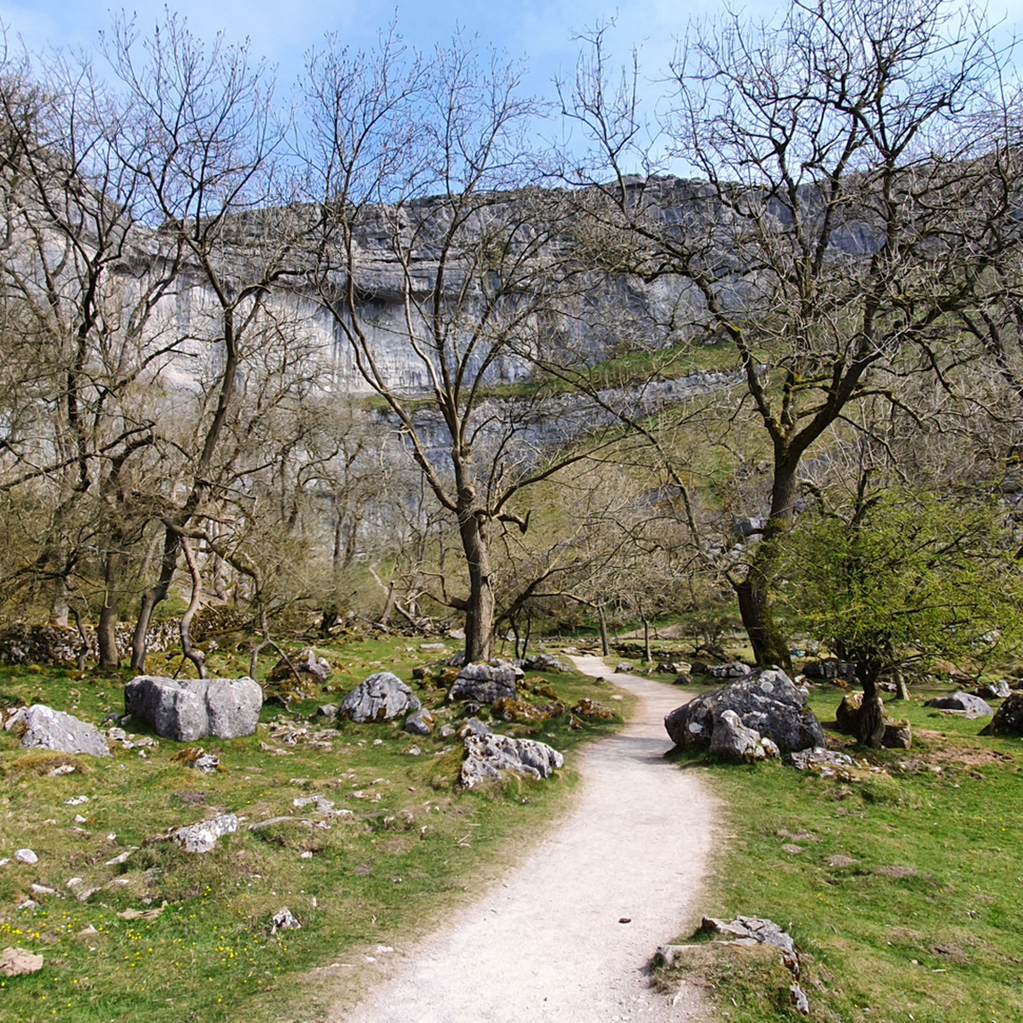
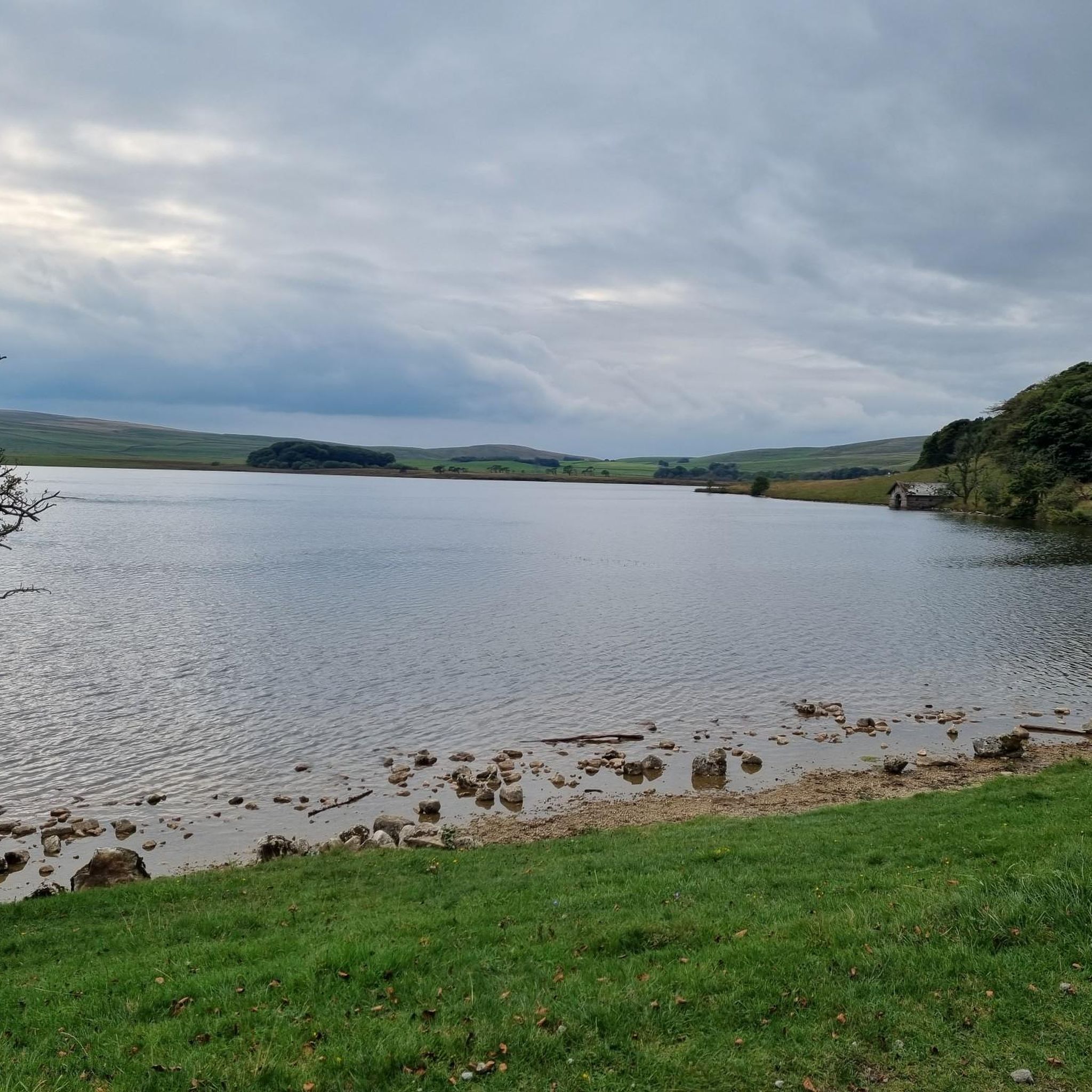
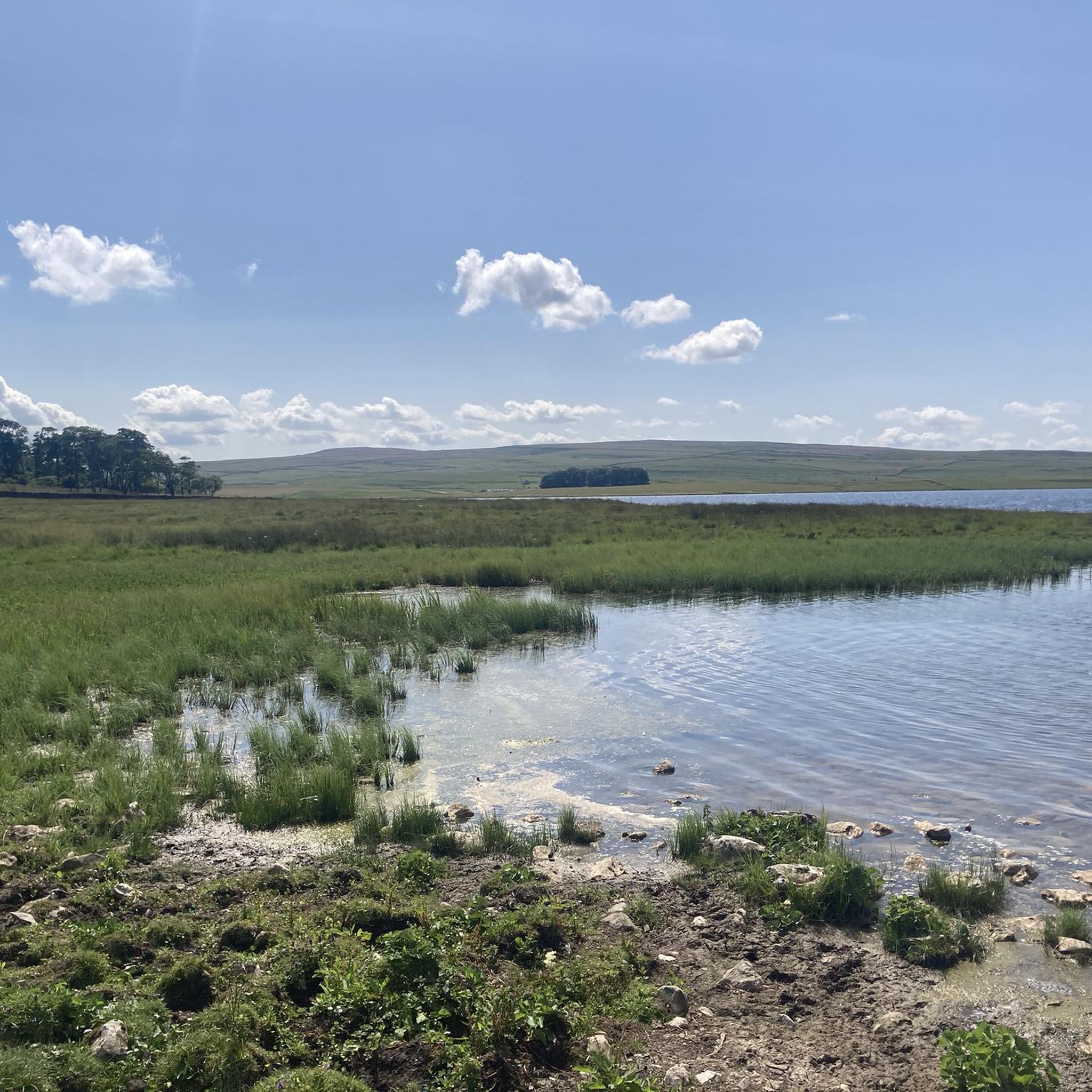
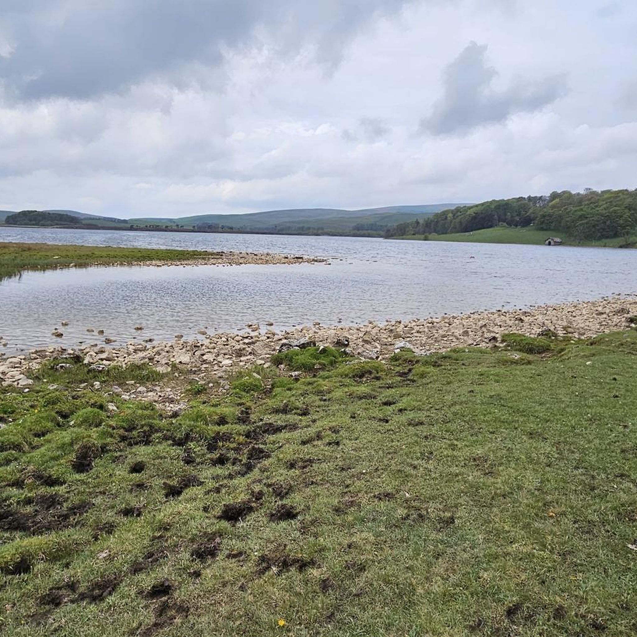
Tips from the Community

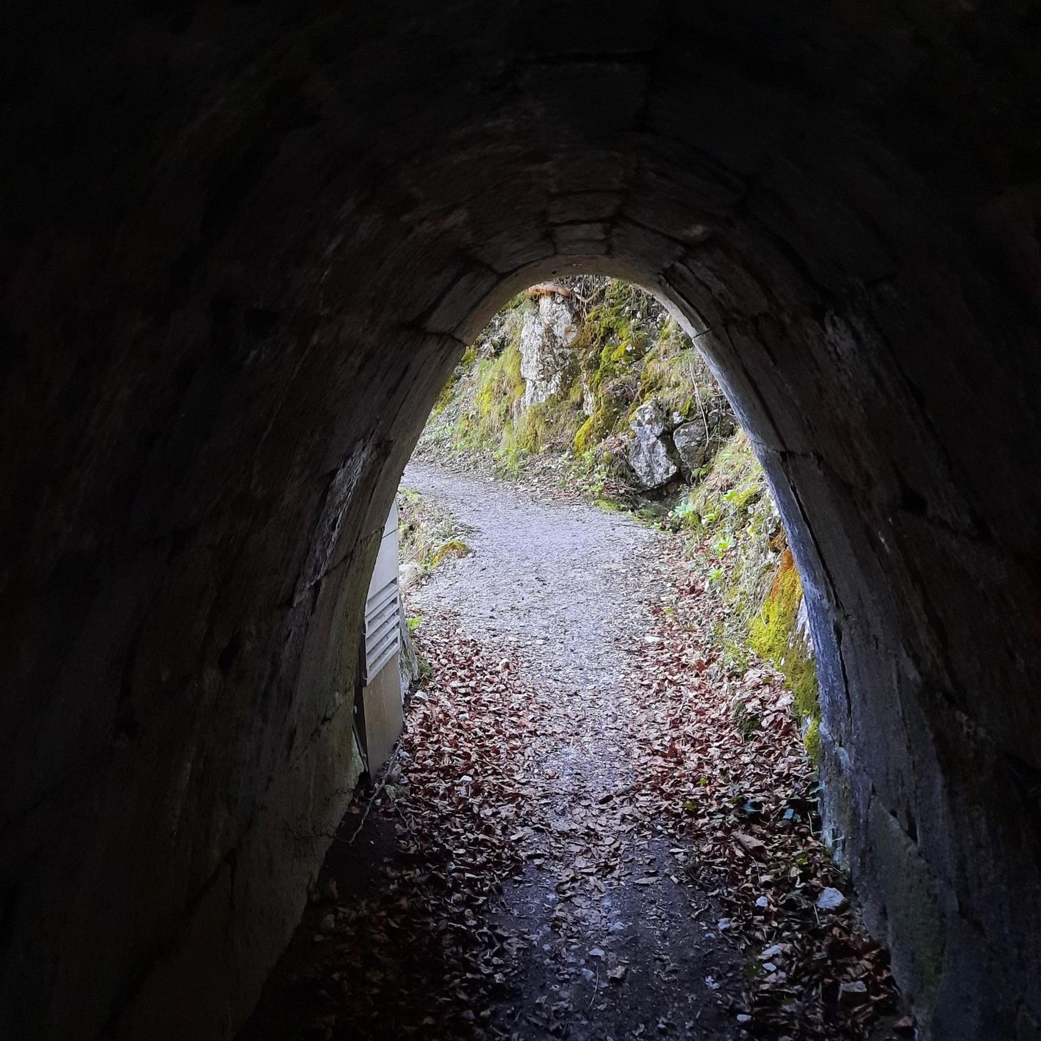
Great views, quiet road with a pretty good surface
0
0

Nice spot to catch the sun and take a break. Good cafe here too. A friendly place 👍
0
0

The highest part of the leeds liverpool canal there's a cafe and benches to rest and take in the views
0
0

Attractive descent into Lancliffe / vicious ascent from Lancliffe.
0
0
The section near the Arncliffe end looks down into a quite dramatic valley.
0
0

Beautiful dales village. Famous as the filming location for ‘All Creatures Great and Small.’ There are lots of trails for walking and cycling directly from the village. Some lovely pubs and restaurants and boutique shops.
0
0


I don’t know if it’s scarier going up or coming down! Watch out for cars 🤙
0
0
Frequently Asked Questions
What kind of terrain can I expect when road cycling around Malham Tarn?
The Malham Tarn area features a unique karstic limestone landscape, offering a mix of rolling hills, rugged moorland, and verdant meadows. While many routes utilize quiet tarmac roads, some may incorporate well-maintained gravel tracks. You'll encounter moderate slopes, providing varied cycling experiences suitable for different skill levels.
Are there road cycling routes suitable for families or those seeking an easier ride?
Yes, Malham Tarn offers options for less strenuous rides. While the guide highlights routes with moderate slopes, there are easier sections, particularly around the tarn itself. The area's quiet roads and scenic beauty make it enjoyable for a more relaxed pace. There are approximately 16 easy routes available in the region.
What are some notable landmarks or natural features I can see along the road cycling routes?
Road cycling routes around Malham Tarn offer continuous views of the tarn and surrounding moorland. You can also find routes that pass by iconic attractions such as Malham Cove, a dramatic limestone cliff, or the picturesque Linton Falls. The area is also home to Gordale Scar and Janet's Foss, both stunning natural features.
What is the best time of year for road cycling in Malham Tarn?
The spring and summer months are generally ideal for road cycling around Malham Tarn, offering milder weather and the chance to see diverse plant life, including wild cranberry and various orchids. However, the quiet roads and stunning landscapes can be enjoyed year-round, with autumn providing beautiful foliage and winter offering a stark, serene beauty, though conditions may be more challenging.
Are there any circular road cycling routes in the Malham Tarn area?
Yes, many of the road cycling routes around Malham Tarn are designed as loops, allowing you to start and finish in the same location. For example, the Malham Tarn to Arncliffe Road – Kilnsey Crag loop is a popular circular route offering significant elevation gain and panoramic views.
Where can I find parking for road cycling near Malham Tarn?
Parking is available in and around the Malham village area, which serves as a common starting point for many routes. Specific parking facilities may vary, so it's advisable to check local signage upon arrival. Some routes, like the Bell Busk Country Road loop, start from Malham, making village parking convenient.
What do other road cyclists enjoy most about cycling in Malham Tarn?
The road cycling routes around Malham Tarn are highly rated by the komoot community, with an average score of 4.5 stars from over 40 reviews. Cyclists frequently praise the area's stunning karstic limestone landscapes, the tranquility of the quiet roads, and the continuous scenic views of the tarn and surrounding moorland.
Are there places to stop for refreshments or food along the routes?
The Malham Tarn area, particularly around Malham village, offers options for refreshments. You can find cafes and pubs to refuel during or after your ride. Some routes, such as the Bell Busk Country Road – Fish and Chips Takeaway loop, even highlight specific stops for food.
How challenging are the road cycling routes in Malham Tarn?
The routes vary in difficulty. While there are easier options, many routes feature moderate to difficult grades due to the rolling hills and elevation changes. For instance, the Henside Road Near Malham Tarn – Langcliffe Scar loop is a moderate route with significant elevation gain, while the Malham Tarn to Arncliffe Road loop is considered difficult.
Can I access Malham Tarn road cycling routes using public transport?
Public transport options to the Malham Tarn area, particularly Malham village, are available, though they may be limited. It's recommended to check local bus schedules for services connecting to the Yorkshire Dales National Park. For more detailed information on reaching the area, you might find resources on local tourism sites helpful, such as visitsettle.co.uk.
What is Malham Tarn itself, and why is it significant?
Malham Tarn is England's highest freshwater lake, situated at 380 meters above sea level. It's a glacial lake formed about 12,000 years ago and is unique because it lies over impermeable slate, preventing water from sinking into the typical porous limestone. The tarn and its surrounding raised bog are an internationally important National Nature Reserve, home to rare species and diverse plant life.
Most popular routes around Malham Tarn

Get inspired with the komoot mobile app


Explore more
Browse the best Road cycling routes in other regions.
