The best walks and hikes around Breydon Water
4.6
(350)
2,187
hikers
124
hikes
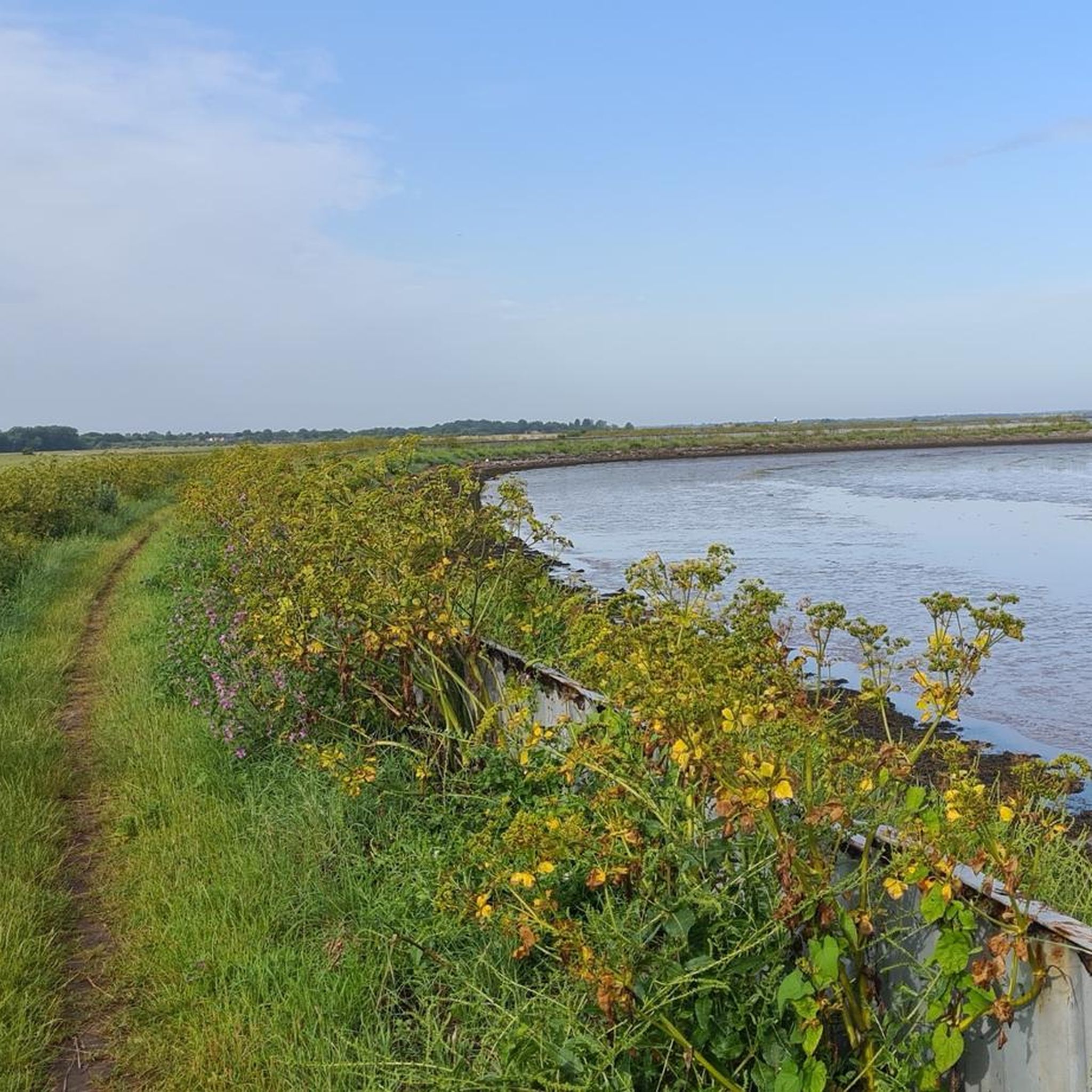
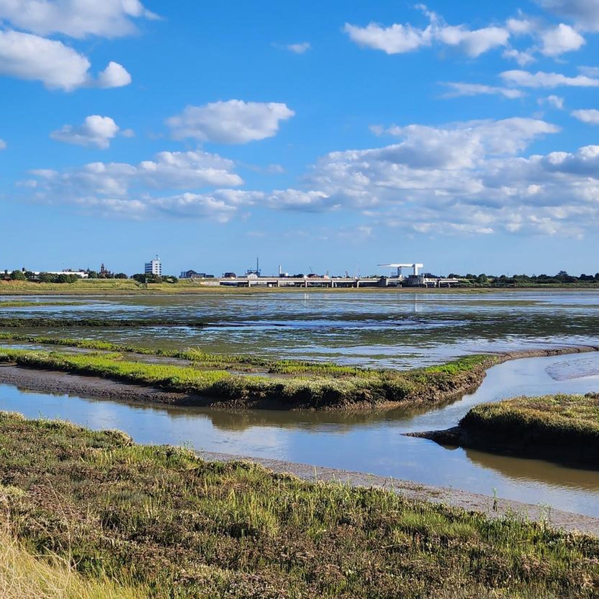
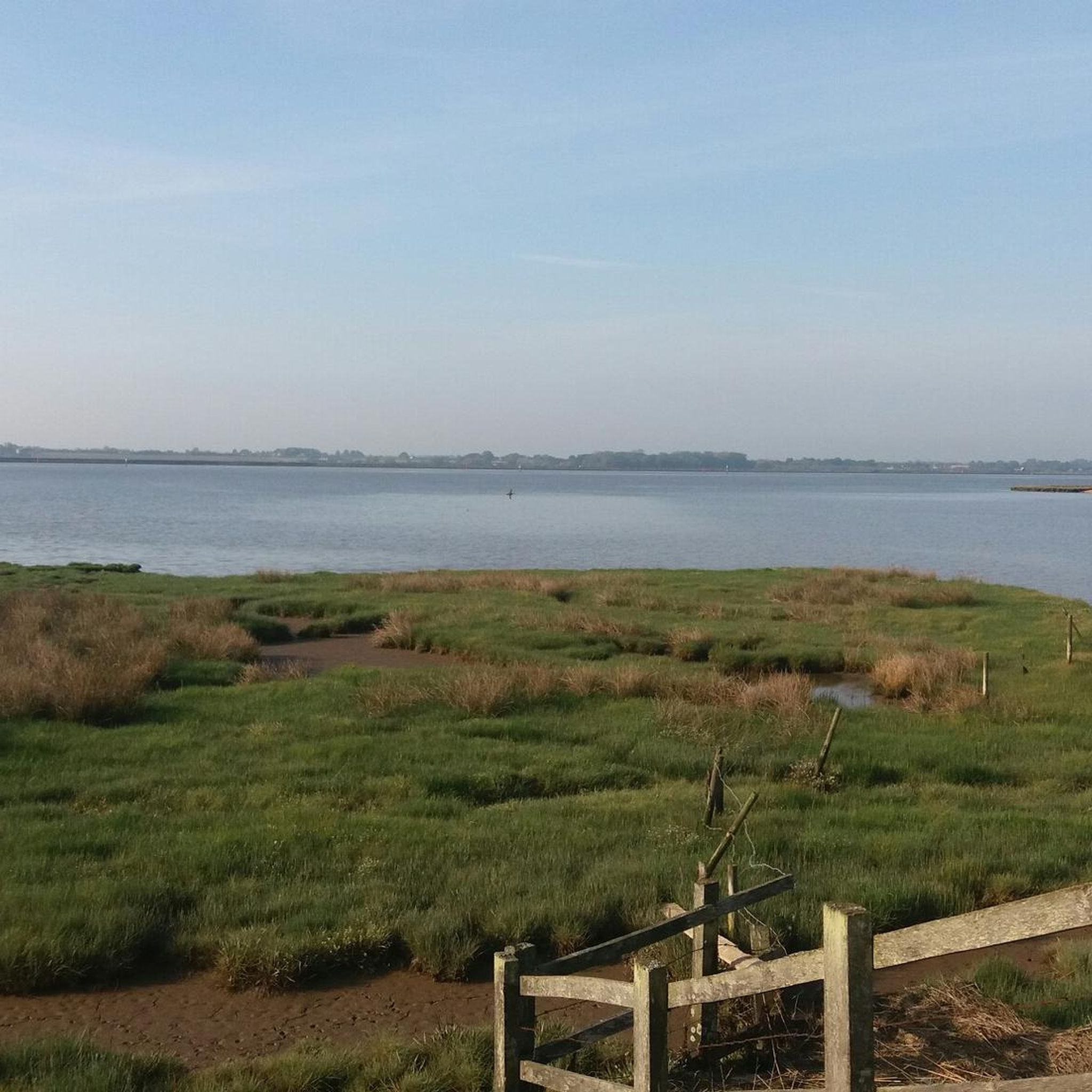
Hiking around Breydon Water offers routes through a distinctive landscape at the confluence of the Rivers Yare and Waveney. The region is characterized by its vast estuary, extensive mudflats, and saltings, which become visible at low tide. Surrounding areas feature marshes and reedbeds, providing habitats for diverse wildlife. This unique environment offers expansive skylines and a sense of tranquility for hikers.
Best hiking trails around Breydon Water
- The most popular hiking route is Burgh Castle Circular Trail, an easy 1.8 miles (2.9 km) trail that takes 44 minutes to complete. This route offers views of the historic Burgh Castle Roman Fort.
- Another top favourite among local hikers is Breydon Water Riverside Path – Breydon Water Nature Reserve loop from Great Yarmouth, a moderate 9.9 miles (15.9 km) path. This trail follows the riverside, showcasing the extensive mudflats and reedbeds of the nature reserve.
- Local hikers also love the Burgh Castle Roman Fort – Burgh Castle Roman Fort loop from Burgh Castle, a 2.6 miles (4.2 km) trail leading through historical landmarks, often completed in about 1 hour 4 minutes.
- Hiking around Breydon Water is defined by its vast estuary, extensive mudflats, and historical landmarks like the Burgh Castle Roman Fort. The network offers options for different ability levels, from easy strolls to moderate riverside paths.
- The routes in Breydon Water are highly rated by the komoot community with an average score of 4.5 stars from over 300 reviews. More than 2000 hikers have used komoot to explore Breydon Water's varied terrain.
Last updated: August 18, 2026
4.7
(3)
16
hikers
2.86km
00:44
10m
10m
Hike the easy 1.8-mile Burgh Castle Circular Trail in The Broads National Park, offering Roman fort views and diverse wildlife.
4.5
(2)
9
hikers
2.93km
00:45
10m
10m
Easy hike. Great for any fitness level. Easily-accessible paths. Suitable for all skill levels.

Sign up for free
4.0
(10)
30
hikers
Moderate hike. Good fitness required. Easily-accessible paths. Suitable for all skill levels.
4.0
(3)
15
hikers
Easy hike. Great for any fitness level. Easily-accessible paths. Suitable for all skill levels.
4.5
(2)
7
hikers
Moderate hike. Good fitness required. Easily-accessible paths. Suitable for all skill levels.
Get access to more routes and recommendations from other explorers.
Sign up for free
Already have an account?
Our route recommendations are based on thousands of hikes, rides, and runs completed by other people on komoot.
Start today with a free account
Your next adventure awaits.
Login or Signup
Other adventures around Breydon Water

Tips from the Community


It is nice to see a boating lake, and it would be nice to see it in the summer with people using it, from he Waterways website : The Venetian Waterways and Boating Lake have been an integral part of Great Yarmouth’s seafront landscape since their construction in the 1920s. Situated at the northern end of Marine Parade, the Boating Lake was first opened in 1926, followed by the Venetian Waterways in 1928 – designed by S. P. Thompson and built as part of a relief work scheme for the local unemployed after the First World War.T
0
0

It's now a card museum with an entrance fee. There's nothing visible from the road.
0
0
A lifting bridge so sometimes you might have to wait to pass. Good views along Yarmouth's quayside.
0
0

The Rivers Yare and Waveney are two of the Broads' great rivers, along with the River Bure. Here, these two great watercourses meet, flowing into Breydon Water. Around 2,000 years ago, this would've been part of the Great Estuary, a vast estuary with extensive mudflats. In Roman times, boats would've been able to sail down the Yare as far as Caistor St Edmund and large ships would have been able to follow the Waveney all the way to Bungay. The nearby Roman fort at Burgh Castle was built to protect this important waterway.
1
0
This pretty medieval parish church has nave walls dating back to the Saxon era and even features Roman tiles, thought to have been taken at some point from the nearby Roman fort. It's Grade-II listed and features a fine, crenellated round tower. The church is just a short walk away from where the Rivers Waveney and Yare merge into Breydon Water.
1
0
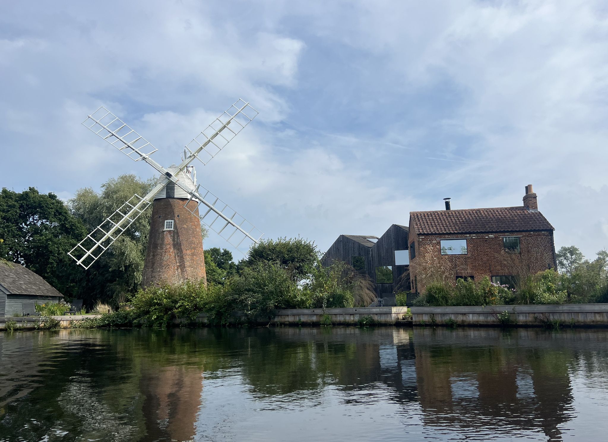
Seen across the confluence of the Rivers Yare and Waveney, Berney Arms Mill is an impressive sight. One of the tallest mills in the national park, it's also one of the best surviving. If the sight of it has you plotting a walk on the opposite side of the rivers, you might consider the Wherryman's Way long-distance trail, which visits the mill.
1
0

Gorgeous views, watch out for the midges though
0
0
Frequently Asked Questions
How many hiking trails are available around Breydon Water?
There are over 120 hiking trails around Breydon Water, offering a wide range of options for different abilities. You'll find 67 easy routes, 55 moderate paths, and a few more challenging trails.
What makes hiking around Breydon Water unique?
Hiking around Breydon Water offers a distinctive experience due to its vast estuary, extensive mudflats, and saltings, which are particularly visible at low tide. The area is also characterized by surrounding marshes and reedbeds, providing expansive skylines and a sense of tranquility. It's a significant ecological site, recognized as the UK's largest protected wetland.
What is the best time of year to go hiking in Breydon Water?
Spring and autumn are generally considered the best times for hiking around Breydon Water. During these seasons, you'll experience mild temperatures and vibrant natural scenery. Winter also offers unique opportunities for birdwatching, as thousands of migratory birds utilize the area.
Are there any historical landmarks to see while hiking near Breydon Water?
Yes, Breydon Water is rich in history. You can explore the remains of the Roman Saxon Shore fort at Burgh Castle, which overlooks the southern end of the water. The iconic 19th-century Berney Arms Windmill also stands proudly over the marshes, and the medieval Saint Peter & Saint Paul Church at Burgh Castle adds further historical charm to your walk.
What kind of wildlife can I expect to see on the trails?
Breydon Water is a renowned birdwatcher's paradise, especially during winter. You can expect to see large numbers of golden plovers, wigeons, lapwings, Bewick's swans, and pink-footed geese. Other species like dunlin, avocets, and various breeding birds are also common. A bird observation hide is located at the east end of Breydon Water on the north shore for excellent viewing opportunities.
Are there family-friendly hiking options around Breydon Water?
Absolutely! Many paths around Breydon Water are easily accessible and suitable for families. An excellent option is the Burgh Castle – family walks in the Broads route, which is an easy 2.9 km (1.8 miles) trail, perfect for a leisurely stroll with children.
Can I bring my dog on the hiking trails?
Many trails around Breydon Water are dog-friendly, allowing you to enjoy the landscape with your canine companion. However, as the area is a significant wildlife habitat, especially for ground-nesting birds, it's crucial to keep dogs under close control or on a lead, particularly during nesting seasons and near sensitive areas like nature reserves. Always check local signage for specific restrictions.
Are there any circular walks available?
Yes, Breydon Water offers several enjoyable circular walks. A popular choice is the Burgh Castle Circular Trail, an easy 2.9 km (1.8 miles) route that takes about 44 minutes to complete and offers views of the historic Roman Fort. Another option is the Burgh Castle Roman Fort loop from Burgh Castle, a 4.2 km (2.6 miles) trail.
How accessible are the trails, and what are the typical terrains like?
The trails around Breydon Water cater to various fitness levels, with many paths being easily accessible. The terrain is generally flat, characterized by riverside paths, marshes, reedbeds, and mudflats. While many routes are easy, some moderate hikes may require good fitness. Be prepared for potentially muddy conditions, especially after rain, and wear appropriate footwear.
Is public transport available to access hiking routes around Breydon Water?
Access to some areas around Breydon Water, such as the marshes near Berney Arms Windmill, is primarily by train, boat, or foot, making public transport a viable option for certain starting points. For general information on public transport in the wider Norfolk area, you might find resources on local transport websites helpful.
Where can I find parking for the hiking trails?
Parking is available at various points around Breydon Water, particularly near popular starting locations like Burgh Castle. Specific parking information can often be found on local council websites or detailed route descriptions for individual trails. Always check for any parking fees or restrictions before your visit.
Are there places to eat or drink near the hiking routes?
Yes, there are pubs and cafes in the villages and towns surrounding Breydon Water, such as Burgh Castle and Great Yarmouth. These establishments offer opportunities to refuel and relax before or after your hike. It's always a good idea to check opening times in advance, especially if you're hiking during off-peak seasons.
What do other hikers enjoy most about the trails around Breydon Water?
The trails around Breydon Water are highly rated by the komoot community, with an average score of 4.5 stars from over 300 reviews. Hikers frequently praise the unique, wide-open landscapes, the sense of tranquility, and the abundant birdwatching opportunities. The historical landmarks, like Burgh Castle Roman Fort, are also often highlighted as significant points of interest.
Most popular routes around Breydon Water

Get inspired with the komoot mobile app


Explore more
Browse the best Hikes in other regions.
