The best cycling routes around Semer Water
4.4
(43)
1,515
riders
42
rides
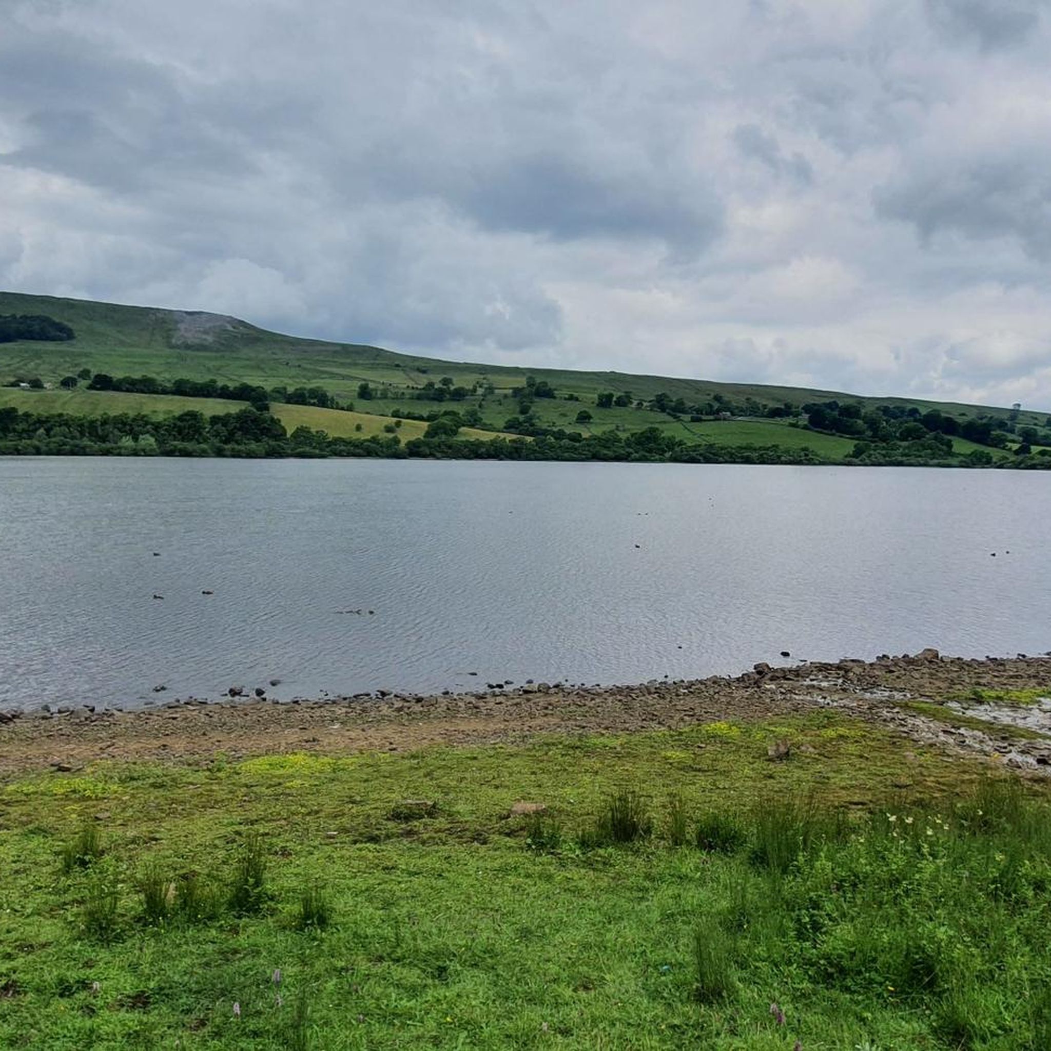
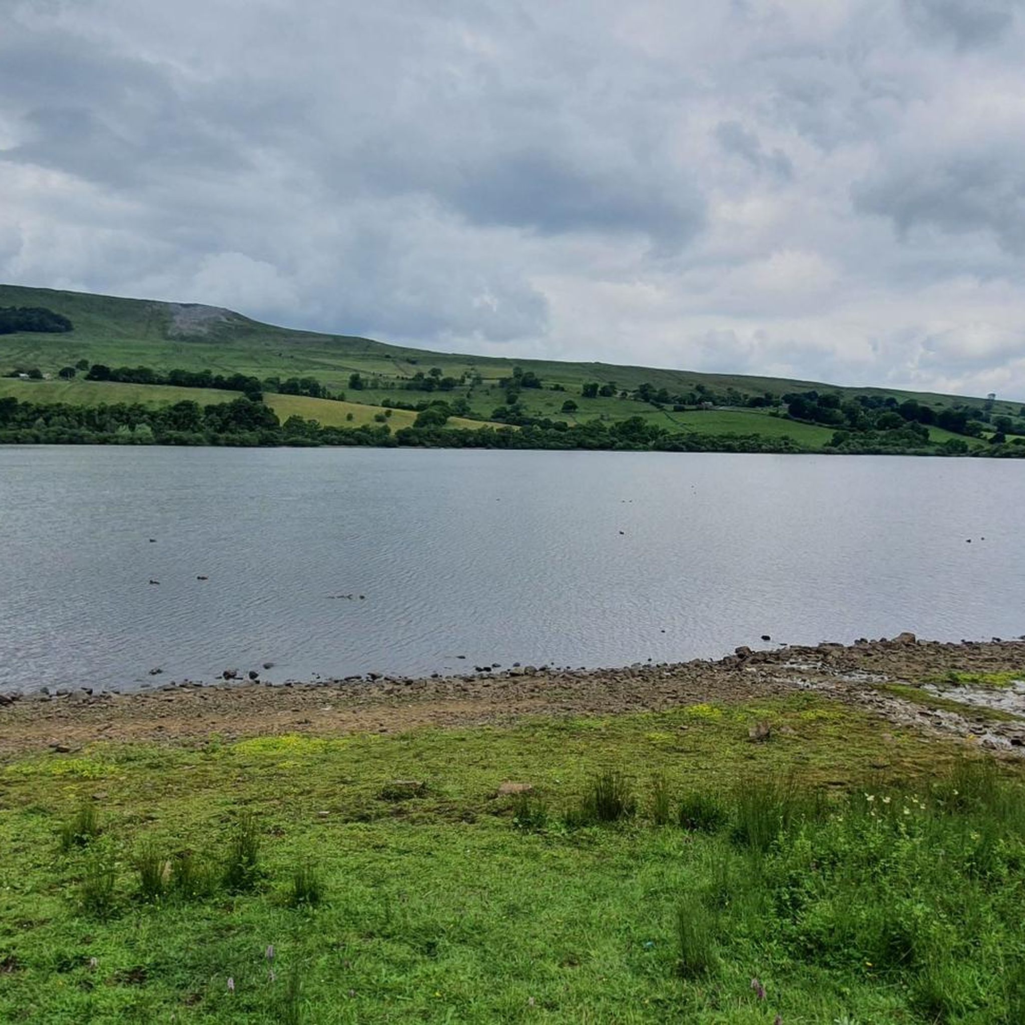
Touring cycling around Semer Water offers routes through a landscape shaped by glacial activity, featuring the largest natural glacial lake in the old North Riding of Yorkshire. The area is characterized by hills and tranquil dales like Raydale, a side valley off Wensleydale. Semer Water is also the source of the River Bain, England's shortest river, adding a unique element to many routes. This setting provides a sense of natural beauty, ideal for peaceful cycling experiences.
Best touring cycling routes around Semer Water
- The most popular touring cycling route is Bainbridge Village – Semer Water loop from Semer Water, an 12.0 miles (19.3 km) trail that takes 1 hour 21 minutes to complete. This moderate route offers views of the lake and surrounding countryside.
- Another top favourite among local touring cyclists is Semer Water – The Coal Road Climb loop from Semer Water, a difficult 31.8 miles (51.1 km) path. This route features significant elevation gain and challenging terrain.
- Local touring cyclists also love the Semer Water – Bainbridge Village loop from Semer Water, a 15.9 miles (25.6 km) trail leading through the heart of Raydale, often completed in about 2 hours 5 minutes.
- Touring cycling around Semer Water is defined by its glacial lake, surrounding hills, and tranquil dales. The network offers options for different ability levels, from moderate loops to more challenging climbs.
- The routes in Semer Water are highly rated by the komoot community with an average score of 4.4 stars from over 30 reviews. More than 1600 touring cyclists have used komoot to explore Semer Water's varied terrain.
Last updated: August 18, 2026
21
riders
40.3km
03:42
870m
870m
Hard bike ride. Very good fitness required. You may need to push your bike for some segments of this route.
5.0
(1)
11
riders
26.1km
02:10
540m
540m
Hard bike ride. Very good fitness required. Mostly paved surfaces. Suitable for all skill levels.

Sign up for free
2
riders
10.2km
00:44
200m
200m
Moderate bike ride. Good fitness required. Mostly paved surfaces. Suitable for all skill levels.
4.5
(2)
22
riders
39.1km
03:07
800m
800m
Hard bike ride. Very good fitness required. Mostly paved surfaces. Suitable for all skill levels.
9
riders
45.6km
03:10
820m
820m
Hard bike ride. Very good fitness required. Mostly paved surfaces. Suitable for all skill levels.
Get access to more routes and recommendations from other explorers.
Sign up for free
Already have an account?
Our route recommendations are based on thousands of hikes, rides, and runs completed by other people on komoot.
Start today with a free account
Your next adventure awaits.
Login or Signup


Tips from the Community

Used to be a great pub, now reduced to selling Ice creams for the shed out back
0
0

Delicious cake, savory pies and salads.
0
0

Great traffic free (for the most) cycling. Few cows maybe
0
0

A classic stretch of high Pennine moorland, shaped by centuries of lead‑mining, with old hushes, spoil heaps, and trackways still etched into the heather. The moor forms part of the Reeth–Grinton–Harkerside upland block, giving wide, open views over Swaledale. Spectacular under a layer of snow in winter.
1
0


Don't drive your car. Ride your bike it's much better. Avoid parking issues and feel happy
0
0
Great place to stay, luxurious and friendly and they even stick black sheep brewery Holy Grail Ale. Truly a wonder to behold
0
0

Have a look at the famous Yorkshire Creamery, also known from the Wallace and Gromit movies;) You can watch the cheese making at 10.15am, 12pm, 1pm, 2pm, 3pm and last chance at 3.45pm. Free tasting of different types of cheeses and factory sales of those. Nice, little shop with all types of cowish, sheepish and Yorkshirish devotionals.
1
0
Frequently Asked Questions
How many touring cycling routes are available around Semer Water?
There are over 40 touring cycling routes around Semer Water, offering a wide range of options for different fitness levels and preferences. These routes explore the unique glacial landscape and tranquil dales of the region.
What makes touring cycling around Semer Water a unique experience?
Touring cycling around Semer Water offers a unique experience due to its dramatic glacial scenery, being the largest natural glacial lake in the old North Riding of Yorkshire. You'll cycle through tranquil areas like Raydale, a side valley off Wensleydale, and encounter the source of the River Bain, England's shortest river. The landscape is rich in wildlife and geological interest, providing a peaceful and scenic backdrop.
Are there touring cycling routes suitable for beginners or families around Semer Water?
Yes, Semer Water offers several routes suitable for beginners and families. There are 4 easy routes and 17 moderate routes available. A good option for a more relaxed ride is the Semer Water – Bainbridge Village loop from Countersett, which is a moderate 11.4 km (7.1 miles) trail.
What kind of terrain can I expect on touring cycling routes near Semer Water?
The terrain around Semer Water is varied. While many routes feature mostly well-paved surfaces, you can also expect to encounter unpaved segments, gravel, grass, and rocky sections, especially on more challenging trails. This diversity adds to the adventure and caters to different cycling preferences.
Are there circular touring cycling routes around Semer Water?
Yes, many of the touring cycling routes around Semer Water are designed as loops, allowing you to start and finish in the same location. An example is the Bainbridge Village – Semer Water loop from Semer Water, a moderate 19.3 km (12.0 miles) route that offers beautiful views of the lake and countryside.
What do other touring cyclists enjoy most about the routes around Semer Water?
The touring cycling routes around Semer Water are highly rated by the komoot community, with an average score of 4.4 stars from over 30 reviews. Cyclists often praise the peaceful atmosphere, the stunning glacial landscapes, and the varied terrain that offers options for different skill levels, from gentle loops to challenging climbs.
Where can I park my car when cycling around Semer Water?
Semer Water is accessible and features a pay-and-display car park, making it convenient for visitors to park their vehicles before heading out on their cycling adventures. This central parking option allows easy access to various routes around the lake.
Are there any challenging touring cycling routes in the Semer Water area?
Yes, for those seeking a challenge, Semer Water offers several difficult touring cycling routes. For instance, the Semer Water – The Coal Road Climb loop from Semer Water is a difficult 51.1 km (31.8 miles) path featuring significant elevation gain and demanding terrain, perfect for experienced cyclists.
What are some interesting natural features or landmarks to look out for while cycling?
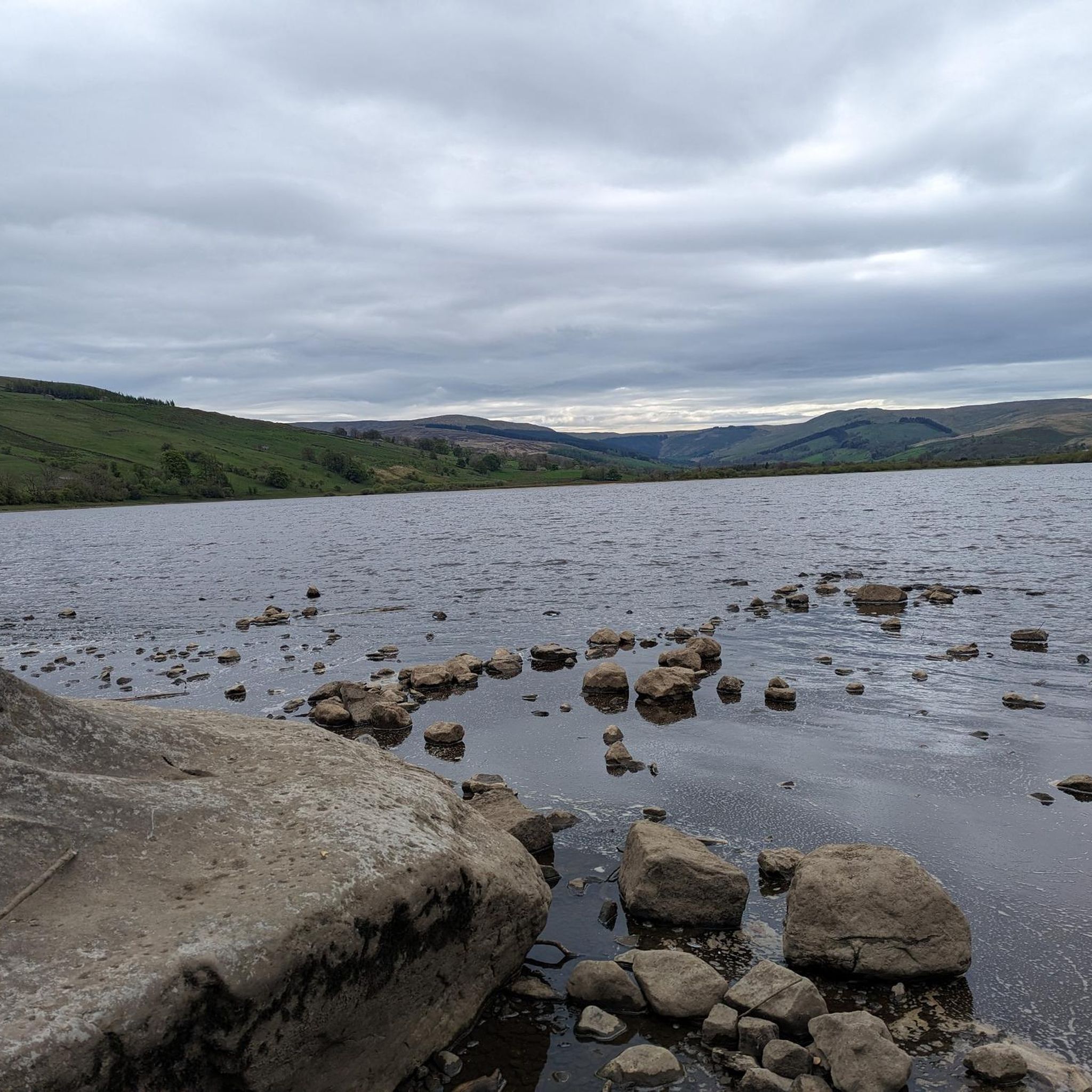
While cycling around Semer Water, you'll encounter several interesting natural features. Keep an eye out for the large Shap granite boulders on the foreshore, such as the Carlow Stone and Mermaid Stones, which were brought by ice. The area is also rich in wildlife, and in July, you might see thousands of flowering yellow water-lilies on the lake. The River Bain, England's shortest river, is another unique landmark.
Are there opportunities for wild swimming or other activities near the cycling routes?
Yes, Semer Water is popular for various outdoor activities in addition to cycling. You can find opportunities for wild swimming in the lake. The area is also popular for fishing, canoeing, and sailing. A circular walk around Semer Water allows you to explore the lake and the heart of Raydale on foot, passing rivers, becks, and the nature reserve.
What is the best time of year for touring cycling around Semer Water?
The area around Semer Water offers beautiful scenery throughout much of the year. Spring and summer provide warmer weather and the chance to see the spectacular yellow water-lilies in July. Autumn brings vibrant colors to the landscape. While cycling is possible in winter, be prepared for colder conditions and potentially more challenging terrain.
Are there any cafes or pubs along the touring cycling routes for a break?
While specific cafes and pubs directly on every route are not detailed, the region, particularly nearby villages like Bainbridge, offers amenities where you can find refreshments. The tranquil nature of Raydale means some routes might be more remote, so planning your stops or packing snacks is advisable.
Most popular routes around Semer Water

Get inspired with the komoot mobile app


Explore more
Browse the best Cycling routes in other regions.
