The best walks and hikes around Wraysbury Reservoir
4.6
(648)
10,776
hikers
376
hikes
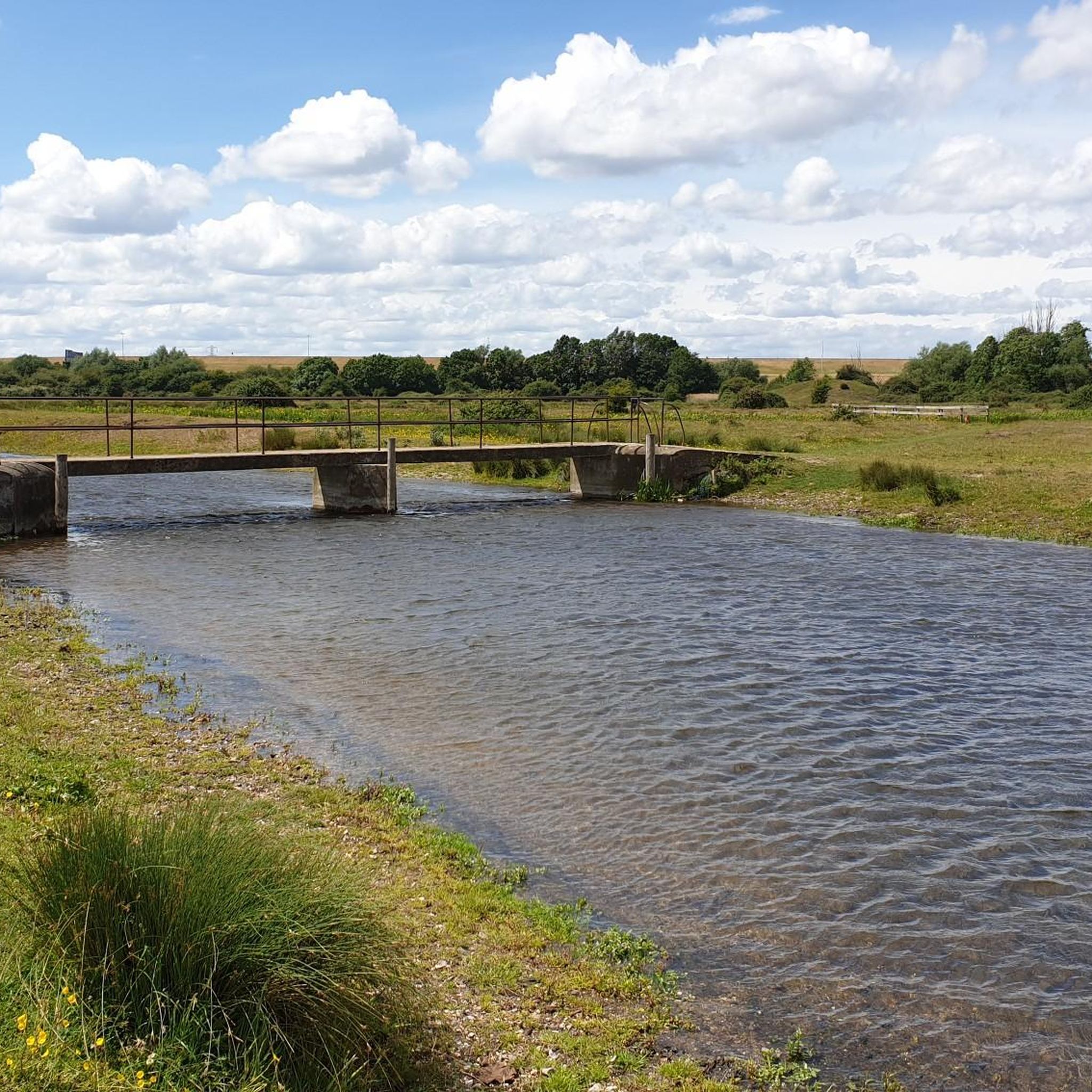
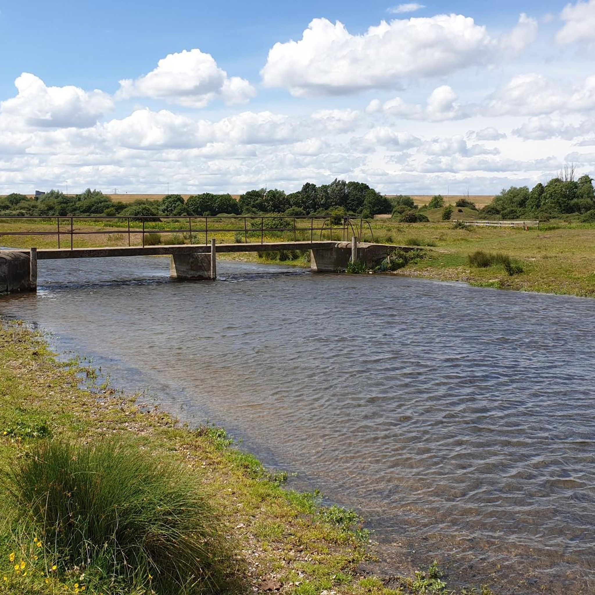
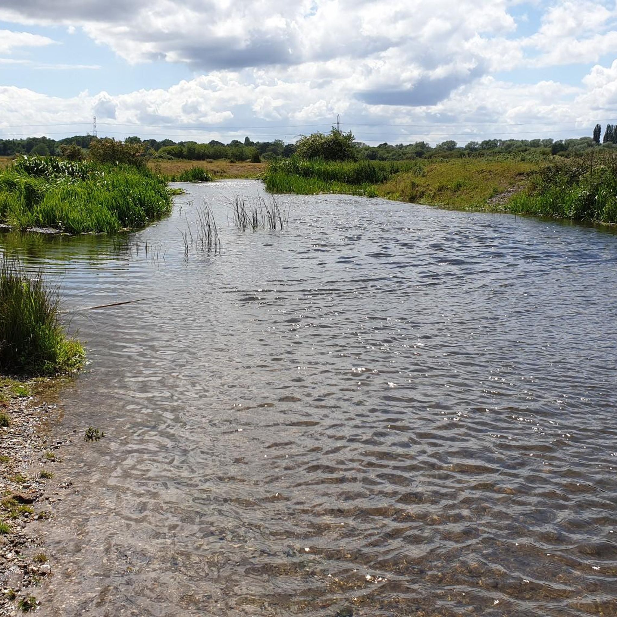
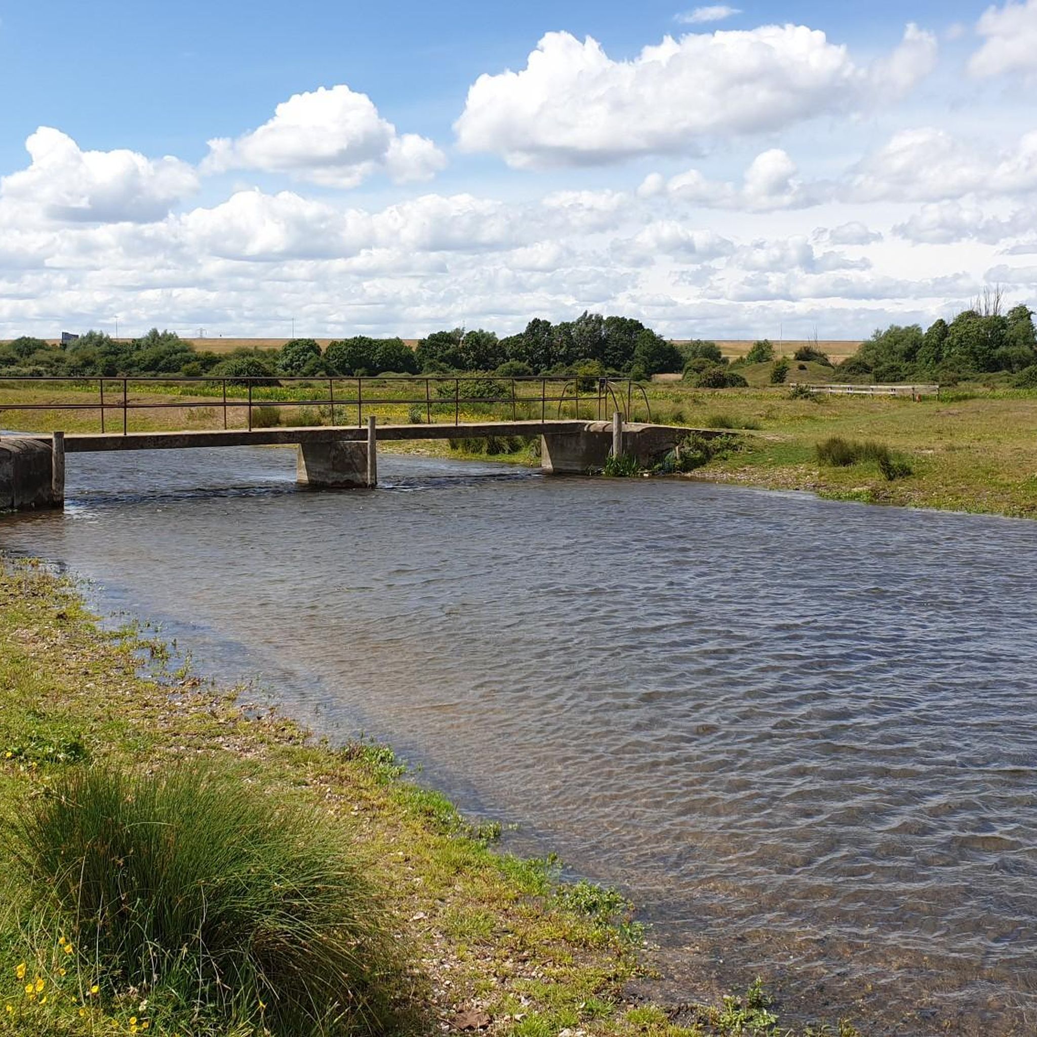
Hiking around Wraysbury Reservoir offers diverse landscapes, including open water, wetland habitats, and grassland areas. The region is characterized by the tranquil Colne Brook, thorn scrub, and large trees like Willows and Poplars along the water edges. Many routes incorporate historical sites such as the Magna Carta Memorial and the ancient Ankerwycke Yew. The area provides a mix of natural beauty and historical reflection for hikers.
Best hiking trails around Wraysbury Reservoir
- The most popular hiking route is The Jurors at Runnymede – Windsor Bridge loop from Wraysbury, a 17.0 miles (27.4 km) trail that takes 6 hours 55 minutes to complete. This difficult route connects historical sites with scenic views along the Thames.
- Another top favourite among local hikers is Ankerwycke Yew – Old Windsor Windmill loop from Staines-upon-Thames, a moderate 7.2 miles (11.6 km) path. This trail leads past the ancient Ankerwycke Yew and offers views of the reservoir's natural surroundings.
- Local hikers also love the Cows and Horses Grazing – Red Kite Viewing Spot loop from Staines-upon-Thames, a 5.3 miles (8.5 km) trail leading through fields and grassland, often completed in about 2 hours 9 minutes.
- Hiking around Wraysbury Reservoir is defined by wetlands, grassland, the Colne Brook, and historical landmarks. The network offers options for easy strolls, moderate paths, and more challenging treks.
- The routes in Wraysbury Reservoir are highly rated by the komoot community with an average score of 4.6 stars from over 600 reviews. More than 10,000 hikers have used komoot to explore Wraysbury Reservoir's varied terrain.
Last updated: July 9, 2026
4.7
(6)
55
hikers
27.4km
06:56
40m
40m
Hard hike. Very good fitness required. Easily-accessible paths. Suitable for all skill levels.
3.8
(8)
37
hikers
Moderate hike. Good fitness required. Easily-accessible paths. Suitable for all skill levels.

Sign up for free
2
hikers
Moderate hike. Good fitness required. Easily-accessible paths. Suitable for all skill levels.
5.0
(1)
3
hikers
Moderate hike. Good fitness required. Easily-accessible paths. Suitable for all skill levels.
1
hikers
23.6km
05:58
40m
40m
Hard hike. Very good fitness required. Easily-accessible paths. Suitable for all skill levels.
Get access to more routes and recommendations from other explorers.
Sign up for free
Already have an account?
Our route recommendations are based on thousands of hikes, rides, and runs completed by other people on komoot.
Start today with a free account
Your next adventure awaits.
Login or Signup
Tips from the Community


The statue of Queen Victoria on Castle Hill was created by Sir Edgar Boehm in 1887 to commemorate the Queen's Golden Jubilee and was funded by the people of Windsor and the surrounding area.
0
0


Just a stone's throw from the information board is the actual Magna Carta memorial. Unfortunately, two different users have turned it into two separate highlights in the komoot system, see =>> https://www.komoot.com/de-de/highlight/547090
0
0

A very beautiful historic train station with nice restaurants and shops.
0
0

The old Windsor Bridge is an iron and granite, multi-span bridge over the Thames. It connects Windsor and Eton and the Thames Path long distance trail also crosses here. It's thought that there has been a bridge here since the 12th century, this bridge was opened in 1824.
0
0

This bridge spans the River Thames and connects the towns of Windsor and Eton. From the bridge you can enjoy great views of the castle and surrounding areas. It's a Grade I listed structure and has an elegant design which is a mix of stone and iron.
2
0

If arriving by car there is a (very very) small National Trust carpark on Magna Carter Lane. From there you can follow the footpaths through fields towards the priory ruins and the Ankerwyke Yew. The notice board with more information is located across a stream and worth a read!
0
0
Frequently Asked Questions
How many hiking trails are available around Wraysbury Reservoir?
There are nearly 400 hiking routes around Wraysbury Reservoir, catering to various skill levels. This includes over 230 easy trails, more than 120 moderate paths, and a selection of challenging treks for experienced hikers.
Are there any easy or beginner-friendly hikes around Wraysbury Reservoir?
Yes, Wraysbury Reservoir offers a wide selection of easy trails, with over 230 routes suitable for beginners or those looking for a relaxed stroll. These paths often feature gentle terrain and scenic views without significant elevation changes.
What historical sites or landmarks can I explore while hiking in the area?
The Wraysbury Reservoir area is rich in history. You can visit significant sites such as The Jurors at Runnymede and the Magna Carta Memorial. Another notable landmark is the ancient Ankerwycke Yew and the nearby ruins of a Benedictine Priory. Some trails also offer views of the RAF Memorial.
Are there any circular walks around Wraysbury Reservoir?
Many of the trails around Wraysbury Reservoir are designed as circular routes, allowing you to start and end at the same point. For example, the moderate route Ankerwycke Yew – Old Windsor Windmill loop from Staines-upon-Thames is a popular circular option that takes you past historical sites and offers views of the reservoir.
Can I bring my dog on the hiking trails around Wraysbury Reservoir?
Yes, many trails around Wraysbury Reservoir are dog-friendly. The area's open spaces and natural paths are generally suitable for walks with your canine companion. However, always ensure dogs are kept under control, especially near wildlife habitats or grazing livestock, and check for any specific local restrictions.
Are there family-friendly hiking options suitable for children?
Absolutely. With over 230 easy routes, Wraysbury Reservoir provides numerous family-friendly options. These trails are typically shorter, flatter, and offer engaging natural surroundings for children to enjoy. The presence of wildlife and historical sites can also make for an educational outing.
What kind of wildlife can I expect to see while hiking here?
Wraysbury Reservoir is a Local Nature Reserve, making it excellent for wildlife spotting. You might see various wintering wildfowl like Bewick's swans and tufted ducks, as well as cormorants, kingfishers, and grey herons. The area is also home to dragonflies, damselflies, and various warblers. Keep an eye out for red kites soaring overhead and cows or horses grazing in nearby fields.
How long does it typically take to walk around Wraysbury Reservoir?
The duration varies greatly depending on the chosen route. Shorter, easy walks can take just over an hour, while longer, more challenging loops can extend to several hours. For instance, the moderate Cows and Horses Grazing – Red Kite Viewing Spot loop from Staines-upon-Thames typically takes about 2 hours and 9 minutes.
Is there parking available near the hiking trails?
While specific parking details for every trailhead are not provided, the popularity of Wraysbury Reservoir for hiking suggests that parking facilities are available in the vicinity, particularly near common starting points or attractions like Runnymede. It's advisable to check local parking information before your visit.
What do other hikers enjoy most about hiking in Wraysbury Reservoir?
The area is highly rated by the komoot community, with an average score of 4.6 stars from over 600 reviews. Hikers frequently praise the diverse landscapes, the blend of natural beauty with historical sites, and the well-maintained footpaths that allow for peaceful encounters with nature.
Are there any pubs or cafes near the hiking routes for refreshments?
While not directly on every trail, the Wraysbury Reservoir area, being close to towns like Staines-upon-Thames and Windsor, offers various pubs and cafes where hikers can find refreshments. Many routes are designed to pass through or near these amenities, making it convenient to stop for a break.
What are some of the more challenging hikes in the Wraysbury Reservoir area?
For those seeking a challenge, the area offers several difficult routes. An example is The Jurors at Runnymede – Windsor Bridge loop from Wraysbury, which spans 27.4 km and typically takes nearly 7 hours to complete, connecting historical sites with scenic views along the Thames.
Most popular routes around Wraysbury Reservoir

Get inspired with the komoot mobile app


