The best MTB trails around Dietzhölztal
4.6
(352)
705
riders
38
rides
Mountain biking around Dietzhölztal offers diverse landscapes within the Rothaar Mountains and the Lahn-Dill district of Hessen. The region is characterized by extensive forests, picturesque valleys, and the central Hessian uplands, providing varied terrain for mountain bikers. Numerous marked trails traverse these natural features, connecting to broader networks and offering a true nature experience. This area provides a range of mountain bike trails suitable for different skill levels.
Best mountain bike trails around Dietzhölztal
- The most popular mountain bike trail…
Last updated: July 5, 2026
4.8
(67)
124
riders
42.8km
03:35
750m
750m
Moderate mountain bike ride. Good fitness required. Suitable for all skill levels.
4.7
(67)
94
riders
41.1km
02:29
380m
380m
Moderate mountain bike ride. Good fitness required. Suitable for all skill levels.

Sign up for free
4.4
(51)
90
riders
Moderate mountain bike ride. Good fitness required. Suitable for all skill levels.
4.5
(28)
67
riders
30.8km
01:48
220m
220m
Easy mountain bike ride. Great for any fitness level. Suitable for all skill levels.
4.6
(20)
37
riders
29.3km
02:17
490m
490m
Moderate mountain bike ride. Good fitness required. Suitable for all skill levels.
Get access to more routes and recommendations from other explorers.
Sign up for free
Already have an account?
Our route recommendations are based on thousands of hikes, rides, and runs completed by other people on komoot.
Start today with a free account
Your next adventure awaits.
Login or Signup

Tips from the Community


Top signpost in the Lahn-Dill-Bergland.
0
1
Great signpost in the most diverse directions of the Lahn-Dill-Bergland and into Siegerland-Wittgenstein
0
0
Great views into the valley and onto the other elevations.
0
0
Somewhat hidden behind a group of bushes in the valley.
0
0

Unfortunately, the traditional pub U Boot has ceased business operations
1
1

Luckily, I haven't needed it yet. But I think it's good that it was built there.
0
0
Cyclists should be a little careful, there are many dog walkers, the animal shelter is not far away.
0
0
Frequently Asked Questions
How many mountain bike trails are there in Dietzhölztal?
There are over 35 mountain bike trails around Dietzhölztal, catering to various skill levels. You'll find 9 easy routes, 24 moderate, and 3 difficult trails.
Are there mountain bike trails suitable for beginners in Dietzhölztal?
Yes, Dietzhölztal offers 9 easy mountain bike routes. An excellent option for those starting out is the View of Sasenberg – Dillenburg Old Town loop from Ewersbach, which is 19.2 miles (30.8 km) long and leads through varied terrain with viewpoints.
What kind of terrain can I expect on mountain bike trails in Dietzhölztal?
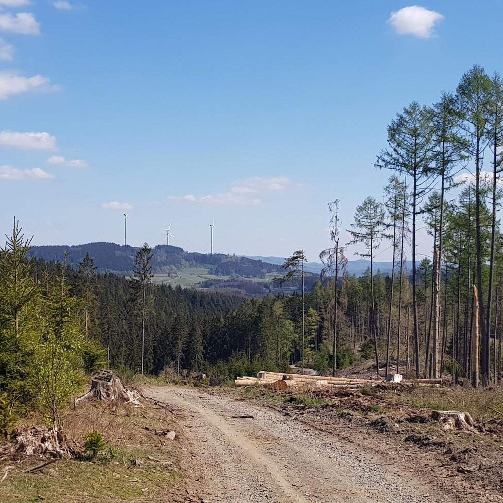
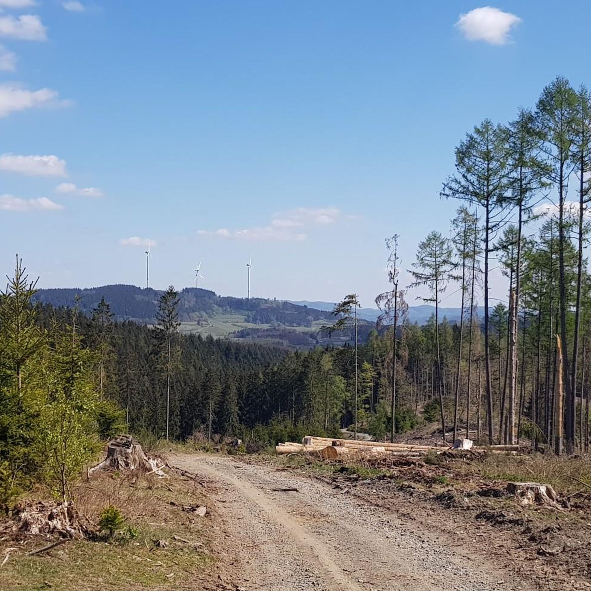
The terrain in Dietzhölztal is characterized by extensive forests, picturesque valleys, and the central Hessian uplands within the Rothaar Mountains. You can expect varied surfaces, including unpaved segments, with routes offering both elevation gain and descent. Recent tree felling has also opened up new, expansive views across the region.
Are there any family-friendly mountain bike routes in Dietzhölztal?
Dietzhölztal is a family-friendly community, and while specific family-designated routes aren't listed, the region's 9 easy trails are generally suitable for less experienced riders or families. The Gottesgabe Mine Ruins – Roth Nature Trail loop from Ewersbach is an easy 20.4 km route that could be a good option.
What natural features or landmarks can I see along the mountain bike trails?
The trails often pass through extensive forests and picturesque valleys. You can also discover several natural monuments and viewpoints. Notable highlights include the Tiefenrother Höhe viewpoint, the Highest Point in the Lahn-Dill District, and the Obernau Reservoir. The Dillenburg Old Town loop from Ewersbach also combines natural landscapes with historical points of interest.
What do other mountain bikers enjoy the most about mountain biking in Dietzhölztal?
The mountain bike trails in Dietzhölztal are highly rated by the komoot community, with an average score of 4.6 stars from over 290 reviews. Riders often praise the diverse landscapes, extensive forests, and picturesque valleys that offer a true nature experience. The variety of trails catering to different skill levels is also a significant draw.
Are there any circular mountain bike routes in Dietzhölztal?
Yes, many of the mountain bike routes in Dietzhölztal are designed as loops. Examples include the Ski hut LBC Banfetal – Eibertshain Summit Cross loop from Mandeln, a 42.8 km moderate trail, and the Dill Spring and Shelter – Dill Spring loop from Ewersbach, a 29 km moderate route.
Is there parking available at the trailheads in Dietzhölztal?
While specific parking locations for each trailhead are not detailed, Dietzhölztal is well-equipped for outdoor activities. It is generally advisable to check individual route descriptions on komoot for recommended starting points and potential parking information.
Can I reach the mountain bike trails using public transport?
Dietzhölztal is a community within the Lahn-Dill district, and while public transport options exist, direct access to all trailheads might vary. For specific routes, it's best to consult local public transport schedules or check the komoot route planner for public transport connections to your chosen starting point.
Are permits or fees required for mountain biking in Dietzhölztal?
There is no indication that specific permits or fees are required for mountain biking on the general trail networks in Dietzhölztal. However, always respect local signage and regulations, especially when riding through nature reserves or private land.
What is the best time of year to go mountain biking in Dietzhölztal?
The Rothaar Mountains region, including Dietzhölztal, offers enjoyable mountain biking conditions throughout much of the year. Spring and autumn typically provide pleasant temperatures and beautiful scenery, while summer is also popular. Winter riding may be possible, but conditions can be challenging due to snow and ice.
Are there any challenging mountain bike routes for experienced riders?
Yes, for experienced riders seeking a challenge, Dietzhölztal offers 3 difficult mountain bike trails. These routes often involve significant elevation gain and more technical sections, requiring very good fitness and advanced riding skills.
Most popular routes around Dietzhölztal
Most popular attractions around Dietzhölztal

Get inspired with the komoot mobile app


Explore more
Browse the best MTB trails in other regions.
