The best road cycling routes around Pepeekeo
5.0
(1)
33
riders
4
rides
Road cycling around Pepeekeo Hawaii features lush tropical forests, rugged coastal cliffs, and winding streams. The area is characterized by verdant landscapes and the dramatic meeting of land and Pacific Ocean. Notable features include the Pepeekeo Scenic Drive, which offers a journey through dense jungle foliage and past historic plantation-era bridges.
Best road cycling routes around Pepeekeo
- The most popular road cycling route is Hilo to Kolekole Beach Park & ʻAkaka Falls State Park, a 35.6 miles (57.3 km)…
Last updated: June 29, 2026
12
riders
32.9km
01:31
300m
300m
Easy road ride. Great for any fitness level. Mostly well-paved surfaces and easy to ride.
5.0
(1)
10
riders
57.3km
02:54
840m
840m
Moderate road ride. Good fitness required. Mostly well-paved surfaces and easy to ride.

Sign up for free
1
riders
50.4km
02:39
770m
770m
Moderate road ride. Good fitness required. Mostly well-paved surfaces and easy to ride.
10
riders
52.1km
02:37
660m
660m
Moderate road ride. Good fitness required. Some segments of this route may be unpaved and difficult to ride.
Our route recommendations are based on thousands of hikes, rides, and runs completed by other people on komoot.
Start today with a free account
Your next adventure awaits.
Login or Signup
Popular around Pepeekeo
Tips from the Community

The water on the upstream side runs through an old lava tube. I'm told (but haven't seen myself) that when the water isn't too rough, you can carefully hike upstream through the tube to see two waterfalls. There's good parking for several cars just past the bridge in the direction away from Hilo (towards Pepeekeo).
0
0

Riding north, this pull out offers the first view of the Laupāhoehoe area. Laupāhoehoe Harbor is managed by the U.S. Army Corps of Engineers Honolulu District and by the County of Hawaii Department of Parks & Recreation. It is open to the public and can be reached just off the main road.
0
0
Laupāhoehoe Beach Park is on the Hamakua coastline, with Laupahoehoe Point as the main attraction. The name translates to “leaf of lava" and was formed by ancient pāhoehoe, or smooth lava, where the small town of Laupahoehoe was built. This park has ocean views, breaking surf, lava rocks, and lush plant life. On April 1st, 1946, there was an earthquake in Alaska that caused a tsunami with three tidal waves that hut here, wrecked a lot of Hilo, and killed 159 people, including 21 schoolchildren and three teachers in Laupahoehoe. Here it is. a memory for them.
0
0
Kolekole Beach Park is a nice area where the Kolekole Stream meets the ocean. There is a small waterfall, a nice beach, and a large grassy area, which makes it easy for families to gather, which makes it very popular during the weekdays and holidays. The park is currently temporarily closed due to some soil contaminants. Because of the closure, the park is not currently well maintained and has become overgrown. The ocean conditions here are a little too dangerous for swimming, but visitors can swim in the Kolekole Stream. There is no lifeguard here, so visitors should always visit and swim with caution.
0
0
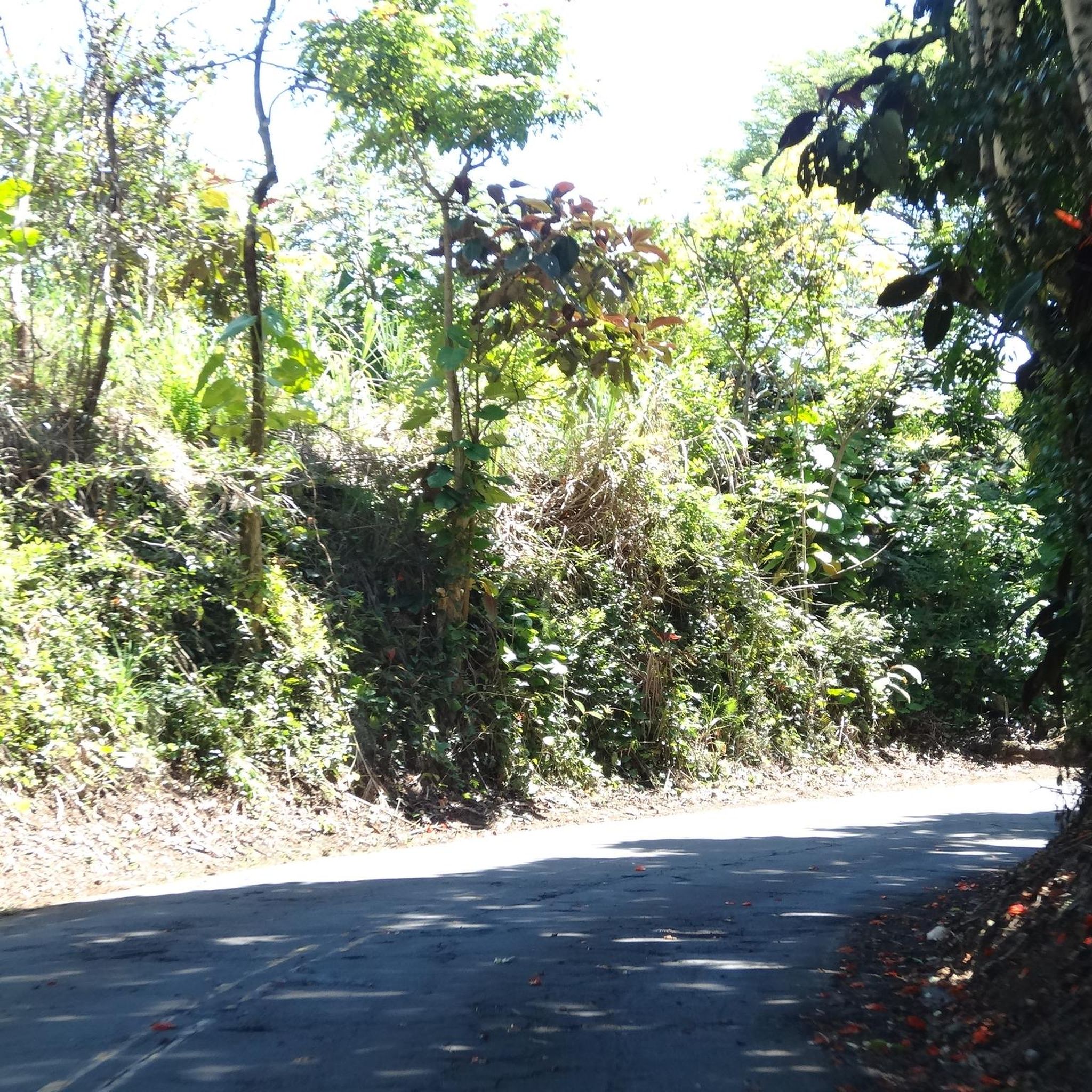
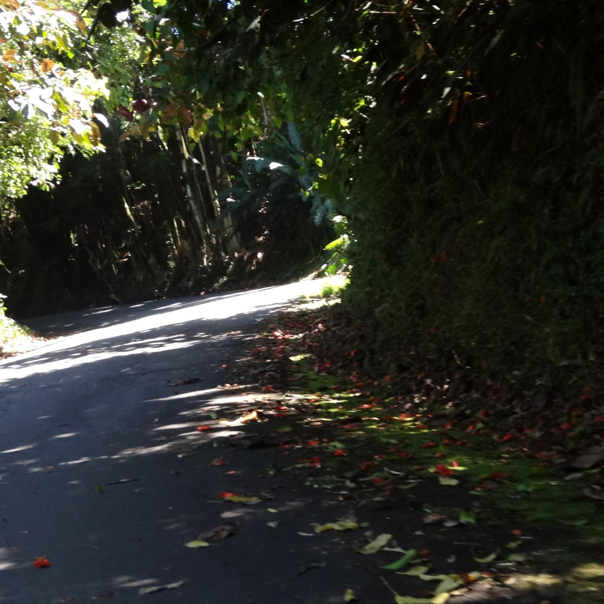
Old Mamalahoa Hwy. is totally paved and a beautiful, scenic drive that goes through the Hawai'ian old growth jungle. Visitors can also get views of the Pacific Ocean along the drive, as it is very close to the shore. On Old Mamalahoa Hwy., on the north side near Pepeekeo, visitors pass a few cafes where they sell smoothies, bagels, and fruit. Visiting these local cafes instead of big chain restaurants is a great way to give back and support local businesses and the community.
0
0
The Kawainui Stream Bridge has become a little attraction around this rainforest because some people like to jump from the bridge into the water. Warning: Jumping off the bridge can be dangerous, as the river level can change and it can become too shallow. Jumping is not recommended.
1
0
From here, visitors can take the Onomea Bay Trails down to the bay. The bay on the ocean is about .4 miles from here on a boardwalk. The walk through the lush rainforest brings visitors to lush forests with so much green foliage and flowers and past waterfalls. Be careful because this area can get very slippery when wet, so wear proper shoes and try to let the trails dry out after it rains. Even if they choose not to go down the trail on foot, bikers can peer down the trail from the parking lot and find a few memorial statues without having to hike.
0
0

Laupāhoehoe Beach Park was destroyed by a tsunami in 1946, so there are a few memorials here. 20 students and 4 teachers were lost during the natural disaster. This Beach Park has amazing ocean panoramas, rocky surf, and lava rocks surrounded by lush vegetation.
0
0
Frequently Asked Questions
How many road cycling routes are available in Pepeekeo?
Pepeekeo offers several distinct road cycling routes, with over 4 tours documented on komoot. These routes cater to various skill levels, from easy loops to more challenging coastal rides.
What kind of terrain can I expect on road cycling routes around Pepeekeo?
Road cycling in Pepeekeo features diverse terrain. You'll encounter lush tropical forests, verdant landscapes with towering banyan trees, and rugged coastal cliffs. Routes often include winding sections, historic plantation-era bridges, and segments with both smooth and neglected asphalt. Expect some gradual ascents and descents, especially on routes that explore the Hamakua Coast or connect to areas like Hilo.
What is the best time of year for road cycling in Pepeekeo?
Pepeekeo's tropical climate generally offers pleasant cycling conditions year-round. However, the region is known for its lushness, which means rain can occur at any time. The dry season (roughly May to October) might offer more consistent sunny weather, while the wet season (November to April) brings more frequent showers, enhancing the vibrancy of the waterfalls and tropical foliage. Always check local weather forecasts before heading out.
Are there easy road cycling routes suitable for beginners in Pepeekeo?
Yes, Pepeekeo has options for beginners. An easy route like the Hilo to Old Mamalahoa Hwy loop, spanning 20.5 miles (32.9 km), is perfect for those looking for a less strenuous ride. This route explores the scenic Old Mamalahoa Highway with its jungle sections and historic bridges.
Are there challenging road cycling routes for experienced cyclists?
For experienced cyclists, Pepeekeo offers moderate routes with significant elevation changes. The Hilo to Kolekole Beach Park & ʻAkaka Falls State Park route, for example, is 35.6 miles (57.3 km) long with over 840 meters of elevation gain, providing a good workout while connecting to coastal parks and the famous Akaka Falls. Another moderate option is the Hamakua Coast Trail, which covers 31.3 miles (50.4 km) through coastal landscapes.
What scenic viewpoints or landmarks can I see along Pepeekeo's road cycling routes?
Pepeekeo's routes are rich with scenic beauty. You can expect dramatic views of the Pacific Ocean from rugged cliffs, especially along the Pepeekeo Scenic Drive. Notable landmarks include the tranquil Onomea Bay, the lush Hawaii Tropical Botanical Garden, and the unassuming Pepeekeo Scenic Vista. Historic plantation-era bridges, such as the Kawainui Stream Bridge, also add to the charm.
Are there routes that feature waterfalls?
Absolutely! One of the most iconic natural attractions, Akaka Falls, is accessible from Pepeekeo and is a highlight on routes like the Hilo to Kolekole Beach Park & ʻAkaka Falls State Park. The region is also home to other waterfalls along Kawainui Stream, offering breathtaking views amidst rainforests.
Can I find routes that include the historic Old Mamalahoa Highway?
Yes, the historic Old Mamalahoa Highway, also known as the Pepeekeo Scenic Drive, is a central feature of road cycling in the area. Routes like the Hilo to Old Mamalahoa Hwy loop and the Old Mamalahoa Hwy – Onomea Bay loop from Wainaku specifically incorporate this scenic stretch, guiding you through dense jungle foliage and past historic bridges.
Are there any circular road cycling routes in Pepeekeo?
Yes, several routes in Pepeekeo are designed as loops, allowing you to start and end in the same location. The Hilo to Old Mamalahoa Hwy loop is a popular easy option, and the Old Mamalahoa Hwy – Onomea Bay loop from Wainaku also offers a circular experience, perfect for exploring without retracing your path.
What do other road cyclists say about the routes in Pepeekeo?
The road cycling routes around Pepeekeo are highly regarded by the komoot community, boasting an average rating of 5.0 stars from over 1 review. Cyclists often praise the lush tropical scenery, the dramatic coastal views, and the peaceful nature of the rides, especially along the Old Mamalahoa Highway.
Are there any family-friendly road cycling options in Pepeekeo?
While many routes involve some elevation, the easier sections of the Old Mamalahoa Highway, particularly the stretch from Pepeekeo to Honomu, can be suitable for families. These segments often feature sunny, flat sections and gradual descents, with views of pastoral fields. Always consider the distance and elevation profile of a specific route to ensure it matches your family's comfort level.
Where can I find parking for road cycling routes in Pepeekeo?
Parking availability varies depending on your starting point. For routes originating near Hilo, you can often find public parking in town. Along the Pepeekeo Scenic Drive (Old Mamalahoa Highway), there are small pull-offs and designated areas, such as near the Hawaii Tropical Botanical Garden or the Pepeekeo Scenic Vista, where you might find space to park. Always check for local signage regarding parking regulations.
Are there cafes or places to stop for refreshments along the routes?
While Pepeekeo itself is a smaller, more rural area, routes often connect to or pass through nearby towns like Hilo or Honomu. Hilo, in particular, offers a wider selection of cafes, restaurants, and shops where you can refuel. Along the scenic drive, you might find smaller, local establishments or roadside stands, but it's always a good idea to carry water and snacks, especially on longer rides.
Most popular routes around Pepeekeo
Most popular attractions around Pepeekeo

Get inspired with the komoot mobile app


Explore more
Browse the best Road cycling routes in other regions.
