The best road cycling routes around Burrator Reservoir
4.7
(32)
1,953
riders
48
rides
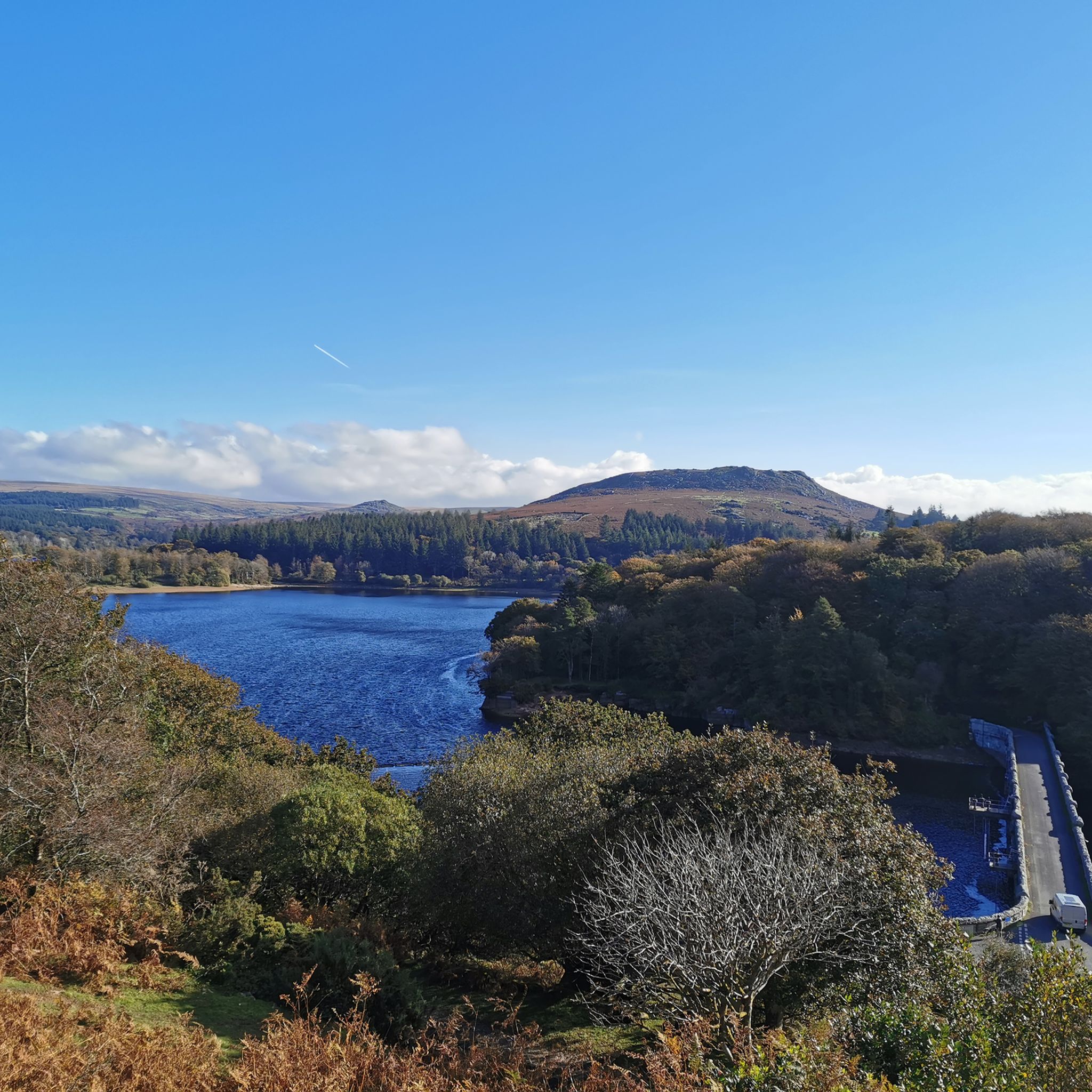
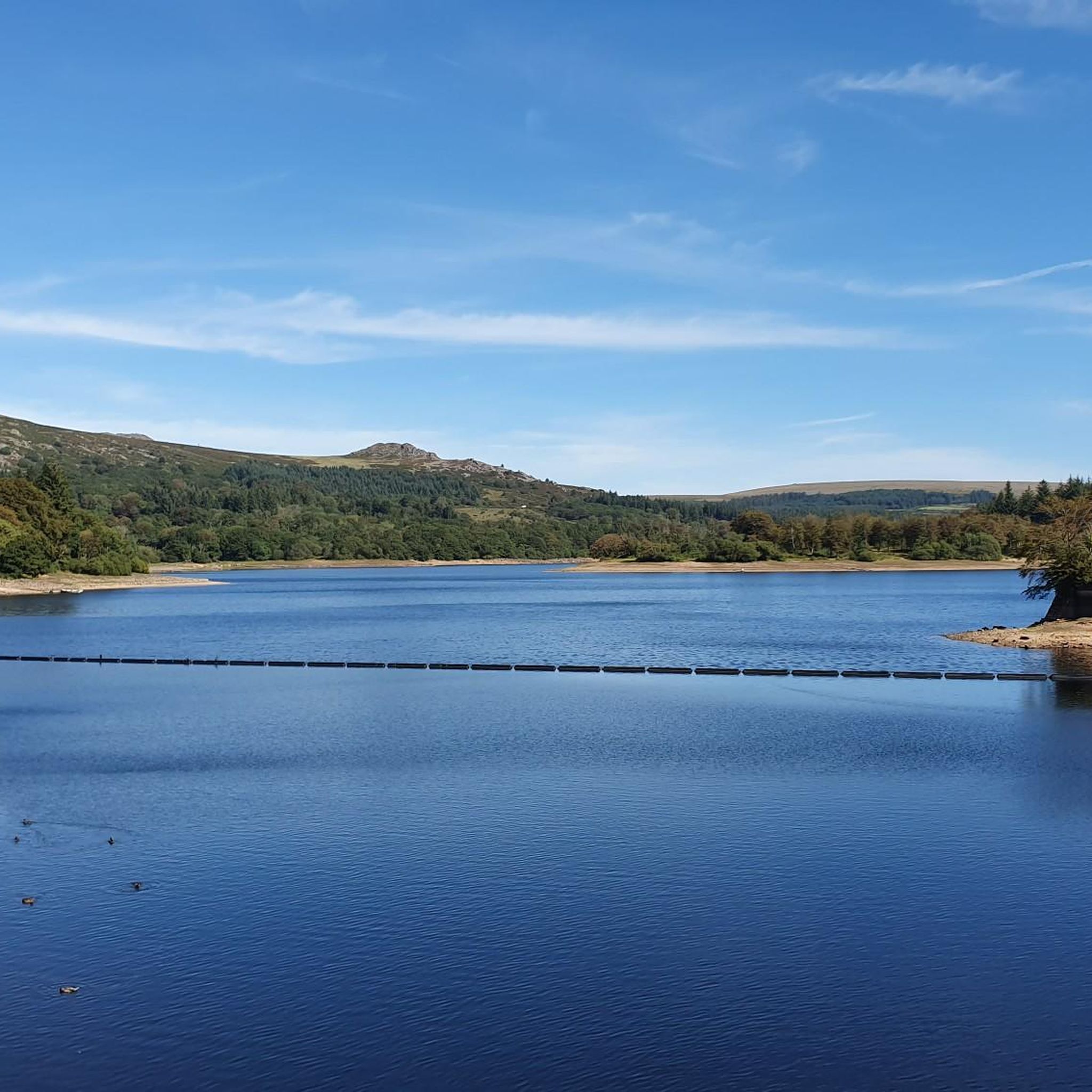
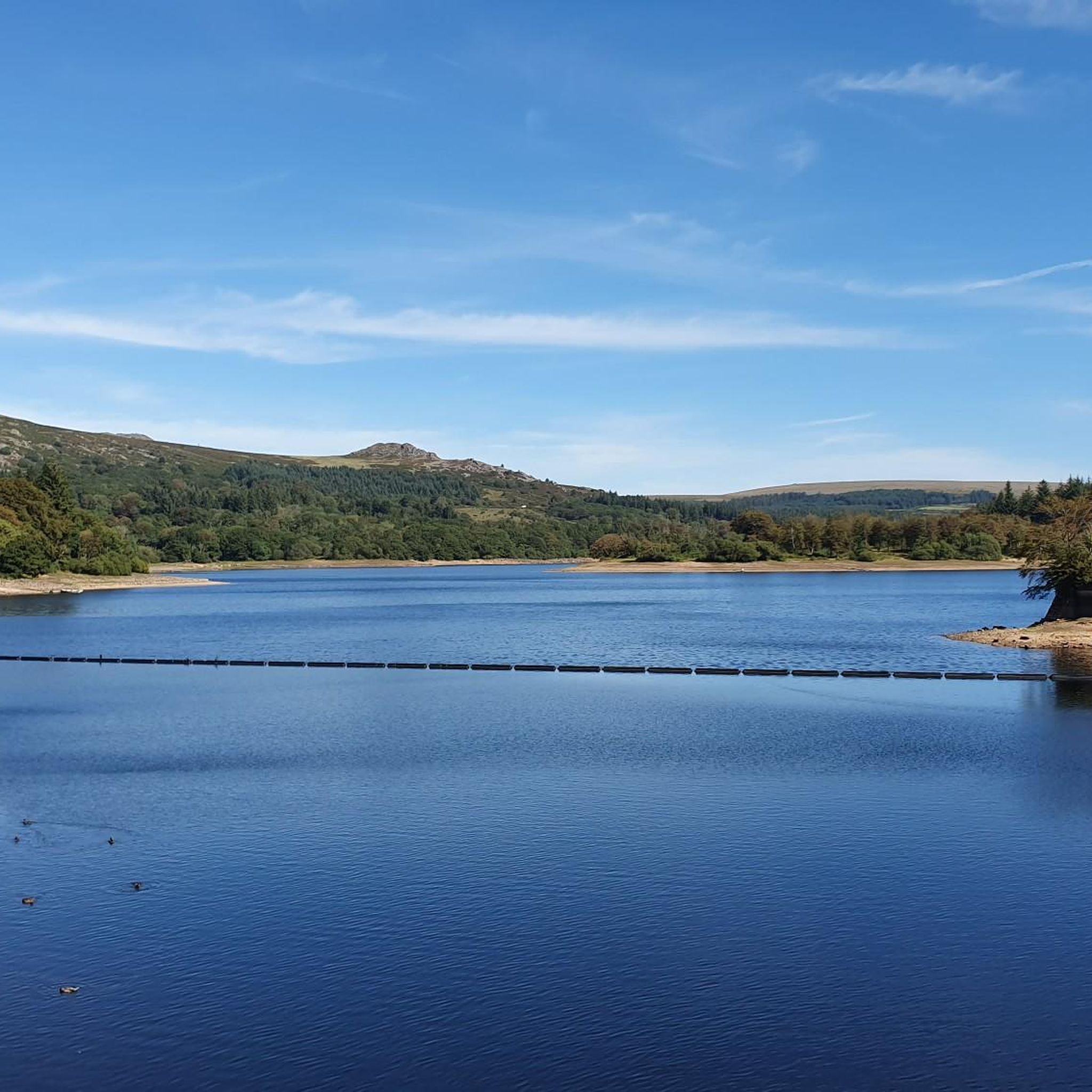
Road cycling around Burrator Reservoir features routes that navigate the landscape surrounding this body of water in West Devon. The area is characterized by rolling hills and varied terrain, with elevation changes suitable for road cycling. Routes often provide views of the reservoir itself and extend into the surrounding countryside. The region offers a mix of open roads and sections that may pass through more sheltered areas.
Best road cycling routes around Burrator Reservoir
- The most popular road cycling route…
Last updated: July 4, 2026
38
riders
26.7km
01:28
540m
540m
Moderate road ride. Good fitness required. Mostly well-paved surfaces and easy to ride.
19
riders
6.18km
00:16
50m
50m
Easy road ride. Great for any fitness level. Mostly well-paved surfaces and easy to ride.

Sign up for free
4
riders
16.9km
00:58
200m
200m
Moderate road ride. Great for any fitness level. Some segments of this route may be unpaved and difficult to ride.
5.0
(1)
97
riders
81.5km
04:21
1,560m
1,560m
Hard road ride. Very good fitness required. Mostly well-paved surfaces and easy to ride.
5.0
(1)
65
riders
55.1km
02:42
670m
670m
Moderate road ride. Good fitness required. Some segments of this route may be unpaved and difficult to ride.
Get access to more routes and recommendations from other explorers.
Sign up for free
Already have an account?
Our route recommendations are based on thousands of hikes, rides, and runs completed by other people on komoot.
Start today with a free account
Your next adventure awaits.
Login or Signup
Tips from the Community

Take your sunglasses off before riding into the tunnel, you'll go blind quickly in there.
0
0

Public toilets in Yelverton, generally in good condition and open
0
0
Fantastic cycle themed cafe on the historic Barbican area of Plymouth It is called Rockets and Rascals.
0
0
Low light through the tunnel to protect the bats, but good surface and easy to see. Turn your lights on if you have them.
0
0

very well looked after the day I went
0
0
Frequently Asked Questions
What is the general difficulty level of road cycling routes around Burrator Reservoir?
The Burrator Reservoir area offers a range of road cycling routes. You'll find a few easy routes, such as the Burrator Reservoir – Burrator Reservoir and Dam loop from Meavy, which is 6.2 km long. The majority of routes are moderate, with some challenging options like the Postbridge Clapper Bridge – Wray Valley Trail loop from Yelverton, which covers over 81 km with significant elevation gain.
What are the typical distances for road cycling routes in the Burrator Reservoir area?
Road cycling routes around Burrator Reservoir vary significantly in length. You can find shorter loops, like the 6.2 km Burrator Reservoir – Burrator Reservoir and Dam loop from Meavy, or longer, more challenging rides such as the 81.7 km Postbridge Clapper Bridge – Wray Valley Trail loop from Yelverton. Many popular routes fall in the 15-35 km range.
Are there parking facilities available for road cyclists near Burrator Reservoir?
Yes, there are several parking areas around Burrator Reservoir, often managed by the South West Lakes Trust. These are typically well-placed for accessing the road network. Specific parking details can often be found on individual route pages or local information boards.
Can I reach the Burrator Reservoir road cycling routes using public transport?
Public transport options to the immediate vicinity of Burrator Reservoir are limited. While some bus services operate in nearby towns like Yelverton or Horrabridge, direct access to the reservoir's cycling routes often requires a short ride from these points. Planning your route in advance with local transport schedules is recommended.
Are there family-friendly road cycling routes suitable for all ages?
Yes, there are routes suitable for families, particularly those that stick to the quieter roads immediately around the reservoir or designated cycle paths. The Burrator Reservoir – Burrator Reservoir and Dam loop from Meavy is an easier option at 6.2 km, offering a relatively flat and scenic ride.
When is the best time of year to go road cycling around Burrator Reservoir?
The best time for road cycling around Burrator Reservoir is generally from spring through autumn (April to October). During these months, the weather is typically milder and drier, and daylight hours are longer. Winter cycling is possible but can be challenging due to colder temperatures, shorter days, and potentially wet or icy conditions.
Are there cafes or refreshment stops along the road cycling routes?
Yes, several routes pass by or are close to cafes and pubs. For example, the popular Burrator Reservoir and Dam – Fox Tor Café loop from Meavy explicitly mentions the Fox Tor Café, providing a convenient stop for refreshments.
Which routes offer the most scenic viewpoints of Burrator Reservoir and the surrounding area?
Many routes provide excellent views of the reservoir and the Dartmoor landscape. The Burrator Reservoir and Dam – Fox Tor Café loop from Meavy is known for its reservoir and dam views. Routes that climb higher into the surrounding hills, such as sections of the Plymbridge Valley Cycle Path – View of Plymouth loop from Yelverton, can offer expansive vistas.
Are most road cycling routes around Burrator Reservoir circular?
Many of the road cycling routes in the Burrator Reservoir area are designed as loops, allowing you to start and finish at the same point. This is convenient for cyclists using personal transport. Examples include the Burrator Reservoir and Dam – Fox Tor Café loop from Meavy and the RAF Harrowbeer Airfield – Buckland Abbey loop from Horrabridge.
What do other road cyclists enjoy the most about road cycling in Burrator Reservoir?
The area is highly rated by the komoot community, with an average score of 4.7 stars. Reviewers often praise the varied terrain, the scenic views of the reservoir and surrounding Dartmoor landscape, and the mix of quiet country roads and more challenging climbs. The accessibility of routes for different skill levels is also frequently highlighted.
How many road cycling routes are available around Burrator Reservoir?
There are nearly 50 road cycling routes available around Burrator Reservoir on komoot, offering a wide variety of distances and difficulty levels to explore.
Most popular routes around Burrator Reservoir

Get inspired with the komoot mobile app


Explore more
Browse the best Road cycling routes in other regions.
