The best road cycling routes around Errwood Reservoir
4.5
(63)
2,906
riders
164
rides
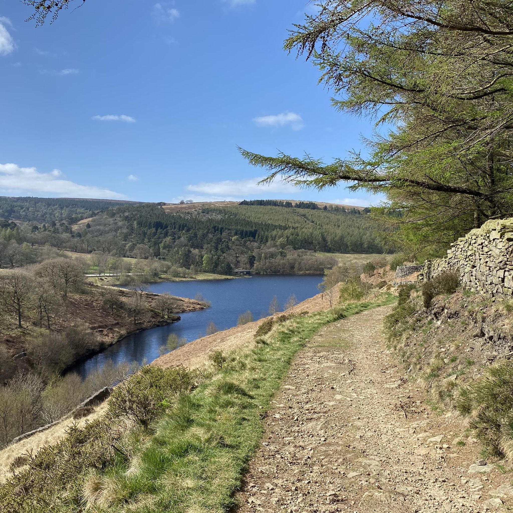
Road cycling routes around Errwood Reservoir are situated within the picturesque Goyt Valley, an area defined by its gritstone geology, high moorland, and woodlands. The landscape features winding river scenery and the reservoir itself, offering varied terrain for cyclists. During specific periods from May to September, certain roads in the valley are closed to visitor traffic, enhancing the experience for cyclists.
Best road cycling routes around Errwood Reservoir
- The most popular road cycling route is Windgather Climb – Descent Into…
Last updated: October 9, 2026
24
riders
20.1km
01:16
510m
510m
Moderate road ride. Good fitness required. Mostly well-paved surfaces and easy to ride.
91
riders
21.7km
01:09
390m
390m
Moderate road ride. Good fitness required. Mostly well-paved surfaces and easy to ride.

4.5
(2)
74
riders
Easy road ride. Great for any fitness level. Mostly well-paved surfaces and easy to ride.
62
riders
Moderate road ride. Good fitness required. Some segments of this route may be unpaved and difficult to ride.
5.0
(2)
25
riders
55.8km
03:29
1,230m
1,230m
Hard road ride. Very good fitness required. Mostly well-paved surfaces and easy to ride.
Get access to more routes and recommendations from other explorers.
Already have an account?
Our route recommendations are based on thousands of hikes, rides, and runs completed by other people on komoot.
Start today with a free account
Your next adventure awaits.
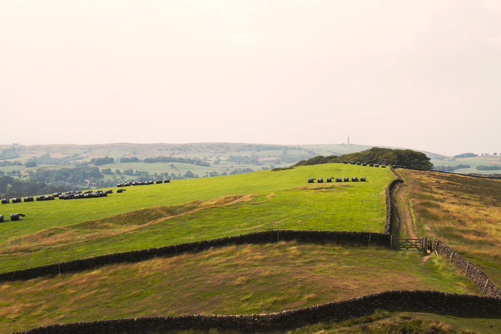
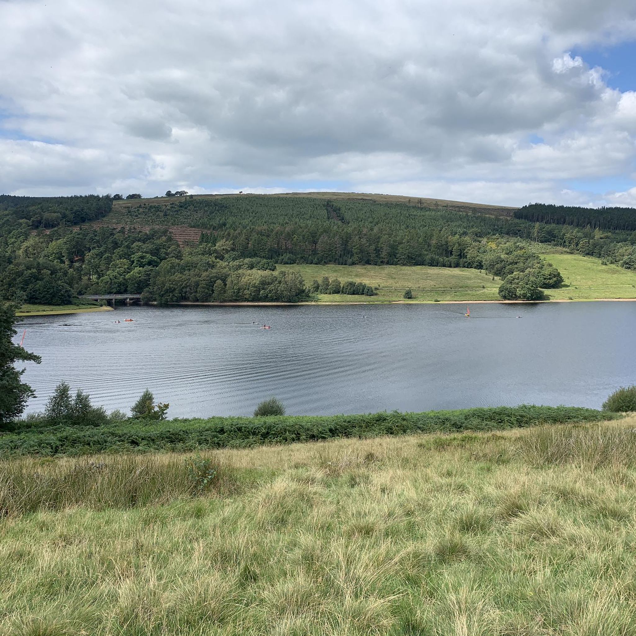
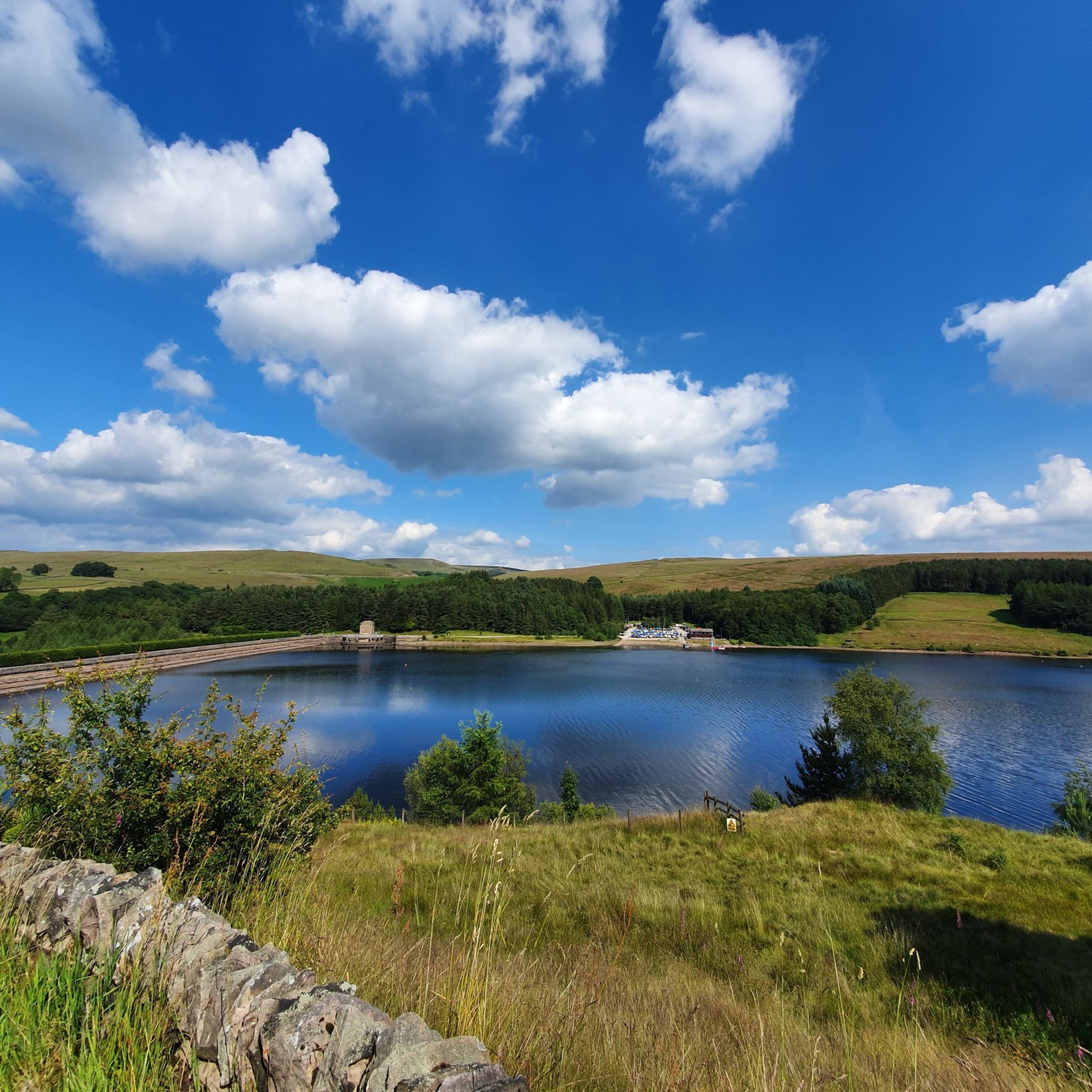

Other adventures around Errwood Reservoir

Tips from the Community

Steep climb, just take your time, as it has a false summit
0
0
very fast coming from Pym's chair. then is a leg sapping uphill for a few miles to the end.
0
0

Have to agree with others... plenty to see especially at the weekend & the Navigation pub is good for food & drink...
0
0

Great views, steady climb & fast descent's, what's not to love?
0
0

Lovely climb up from the reservoir, quiet road with fabulous views.
0
0


Frequently Asked Questions
How many road cycling routes are available around Errwood Reservoir?
There are over 170 road cycling routes around Errwood Reservoir, offering a wide range of options for different skill levels. You'll find routes categorized as easy, moderate, and difficult to suit your preference.
What kind of terrain can I expect when road cycling in the Errwood Reservoir area?
The Errwood Reservoir area, nestled in the Goyt Valley, features diverse gritstone geology, high moorland, and woodlands. You can expect varied terrain with winding river scenery, offering a mix of climbs and descents. Routes like the Windgather Climb – Descent Into Whalley loop from The Street Car Park showcase significant elevation gain through scenic landscapes.
Are there any easy road cycling routes suitable for beginners or families?
Yes, there are easy options available. For a less strenuous ride, consider the Whaley Bridge Town Centre loop from Horwich End. This route is 12.2 miles (19.7 km) long and leads through varied landscapes, often completed in under an hour, making it a good choice for those seeking a gentler experience.
When is the best time to go road cycling around Errwood Reservoir?
The period from May 1st to the end of September, especially on Sundays and Bank Holidays, is particularly good for cycling. During these times, the road from The Street to Derbyshire Bridge is closed to visitor traffic, creating a safer and more enjoyable experience for cyclists. The area is also known for its rich autumn colours, making it visually stunning in the fall.
Are there any circular road cycling routes in the Errwood Reservoir area?
Many routes in the Errwood Reservoir area are designed as loops, allowing you to start and finish in the same location. An example is the SLS Creamery – Nose Café loop from Macclesfield Forest and Wildboarclough, which offers a moderate 13.5-mile (21.7 km) path through forest and moorland.
What landmarks or scenic viewpoints can I see along the road cycling routes?
The area offers stunning panoramic views across Errwood Reservoir and the broader Goyt Valley. You can also discover the evocative ruins of Errwood Hall, a Victorian mansion, which adds a historical element to the landscape. The valley's gritstone edges and high moorland provide dramatic backdrops throughout your ride.
What do other road cyclists say about the routes around Errwood Reservoir?
The road cycling routes around Errwood Reservoir are highly rated by the komoot community, with an average score of 4.5 stars from over 50 reviews. Cyclists often praise the varied terrain, the stunning views, and the opportunity to immerse themselves in the tranquility and beauty of the landscape, especially on traffic-calmed days.
Are there challenging road cycling routes for experienced riders?
Yes, for experienced riders seeking a challenge, there are difficult routes available. The The Goyt Valley, Roaches views & Flash village loop — Peak District National Park is a demanding 34.7-mile (55.8 km) route with significant elevation gain, offering extensive views and a rewarding experience.
Is there parking available for road cyclists at Errwood Reservoir?
Yes, parking is generally available in the area. For example, the Windgather Climb – Descent Into Whalley loop starts from The Street Car Park, indicating parking facilities are present for accessing routes in the vicinity.
What is the surface quality like on the road cycling routes?
The road cycling routes around Errwood Reservoir primarily consist of paved surfaces suitable for road bikes. The Goyt Valley roads offer a mix of conditions, but generally provide a good tarmac surface for cycling, allowing for smooth rides through the scenic landscape.
Can I find cafes or pubs near the road cycling routes for a break?
While specific establishments are not detailed in every route description, the region is popular with outdoor enthusiasts, and you can typically find cafes and pubs in nearby towns and villages such as Whaley Bridge or Buxton, which are often starting or passing points for many routes, including the Descent Into Whalley loop from University of Derby, Buxton.
Most popular routes around Errwood Reservoir

Get inspired with the komoot mobile app


Explore more
Browse the best Road cycling routes in other regions.
