The best mountain hikes around Howden Reservoir
5.0
(2)
13
hikers
3
hikes
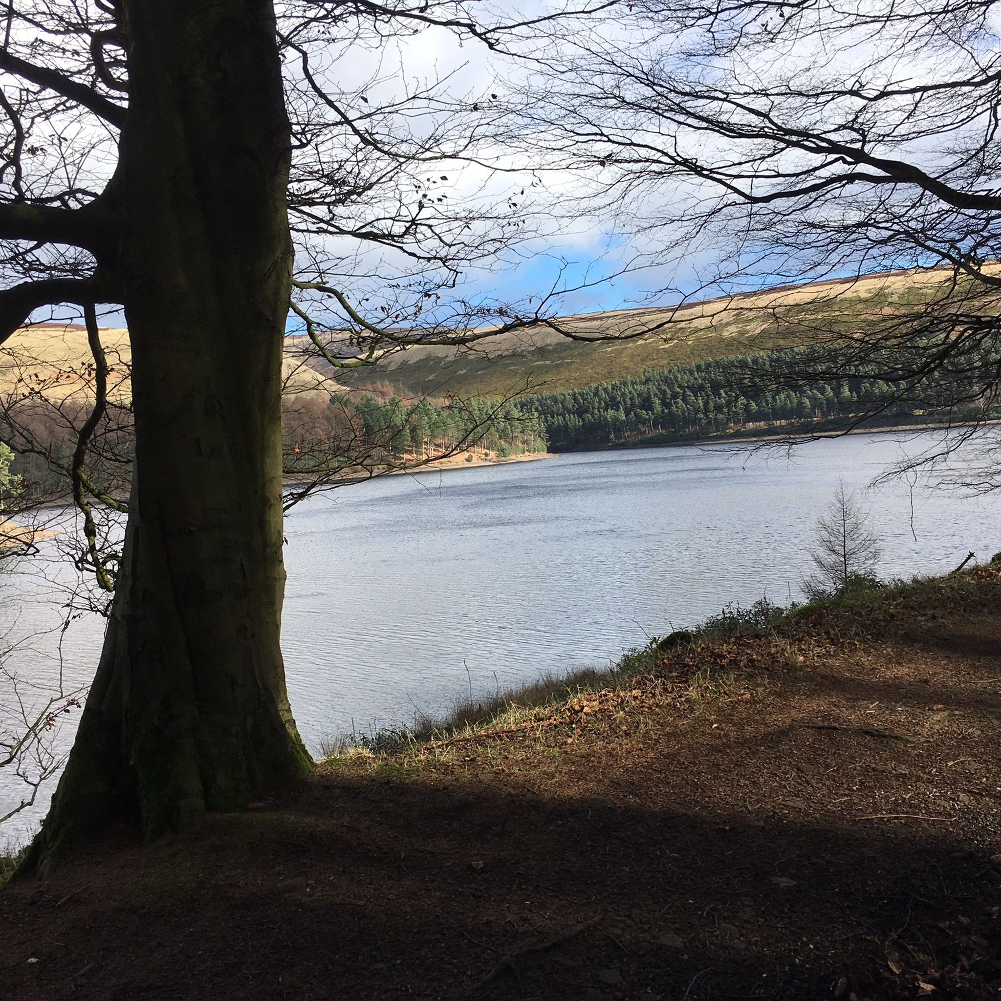
Mountaineering routes around Howden Reservoir are situated within the Upper Derwent Valley, characterized by its expansive moorlands, forested hills, and the serene Y-shaped reservoir itself. The terrain offers significant elevation gain, with challenging hillwalking opportunities across wild and remote landscapes. Features like Derwent Edge, Back Tor, and Featherbed Moss provide varied ascents and panoramic views.
Best mountaineering routes around Howden Reservoir
- The most popular mountaineering route is Grindslow Knoll Summit – Mam Tor summit and trig point loop from Edale…
Last updated: June 26, 2026
11.5km
03:17
280m
280m
Moderate mountaineering route. Good fitness required. Easily-accessible paths. Suitable for all skill levels.
1
hikers
Moderate mountaineering route. Good fitness required. Easily-accessible paths. Suitable for all skill levels.

Sign up for free
5.0
(1)
3
hikers
17.9km
05:27
550m
560m
Hard mountaineering route. Very good fitness required. Mostly accessible paths. Sure-footedness required.
4
hikers
8.60km
02:53
380m
380m
Moderate mountaineering route. Good fitness required. Mostly accessible paths. Sure-footedness required.
3
hikers
Moderate mountaineering route. Good fitness required. Easily-accessible paths. Suitable for all skill levels.
Our route recommendations are based on thousands of hikes, rides, and runs completed by other people on komoot.
Start today with a free account
Your next adventure awaits.
Login or Signup
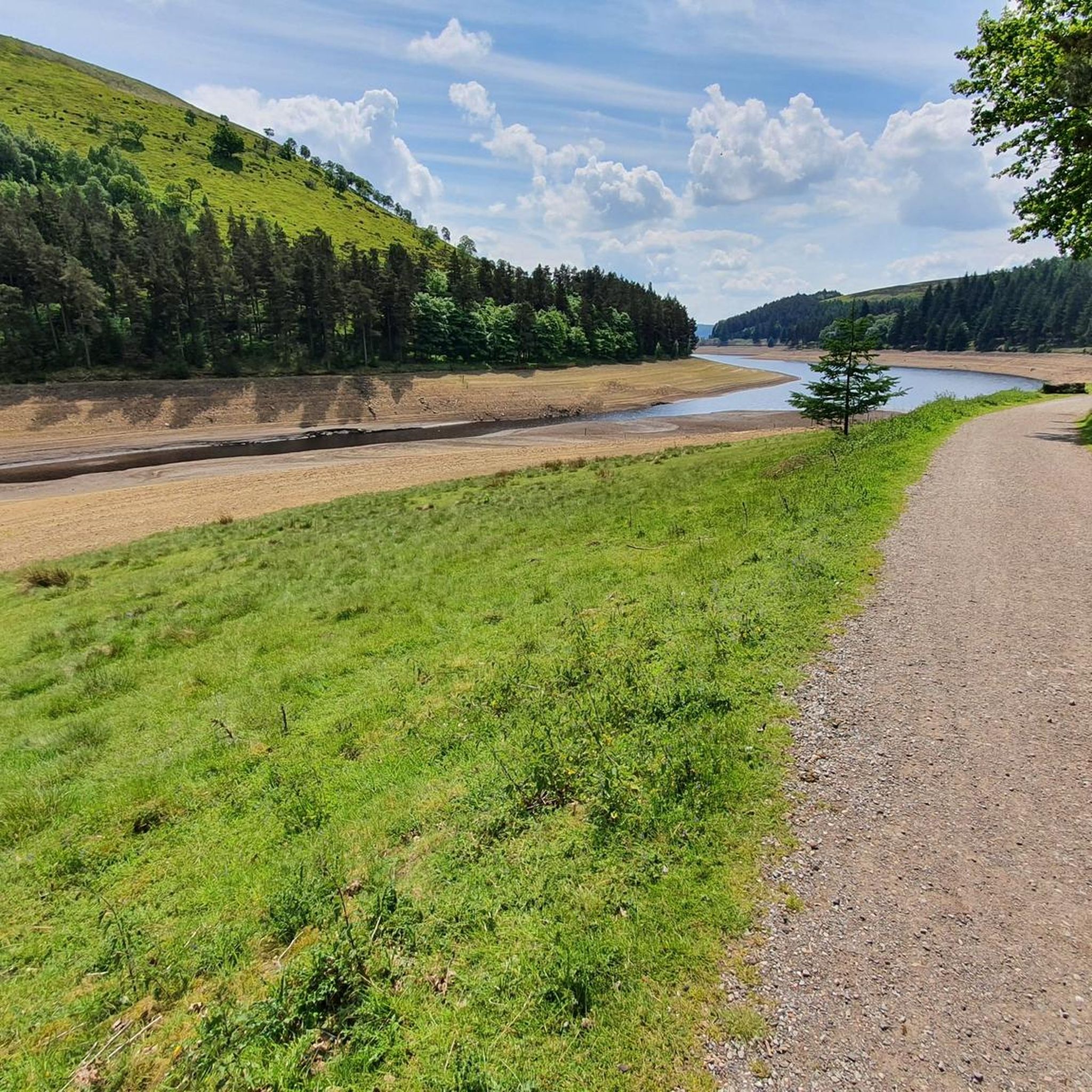
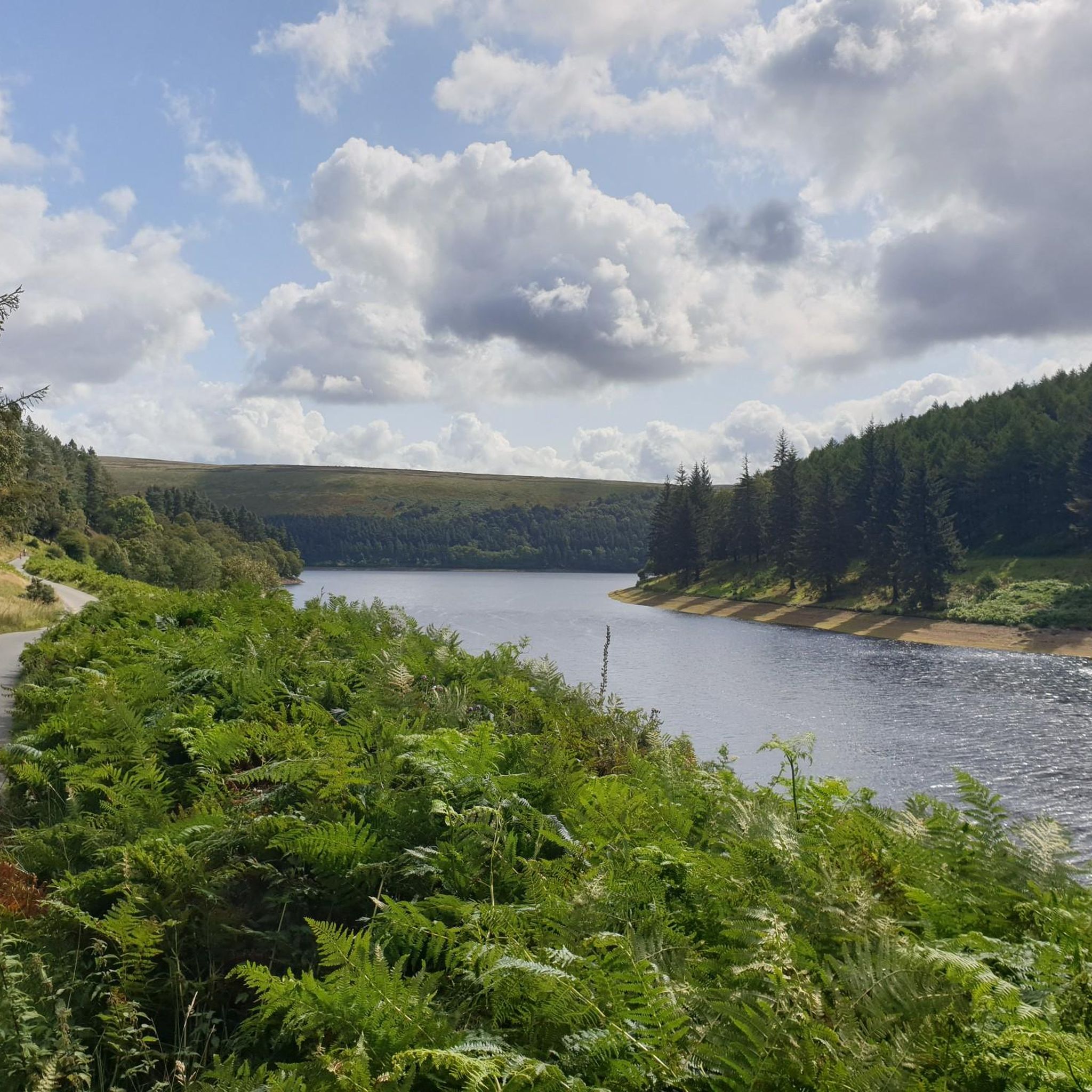
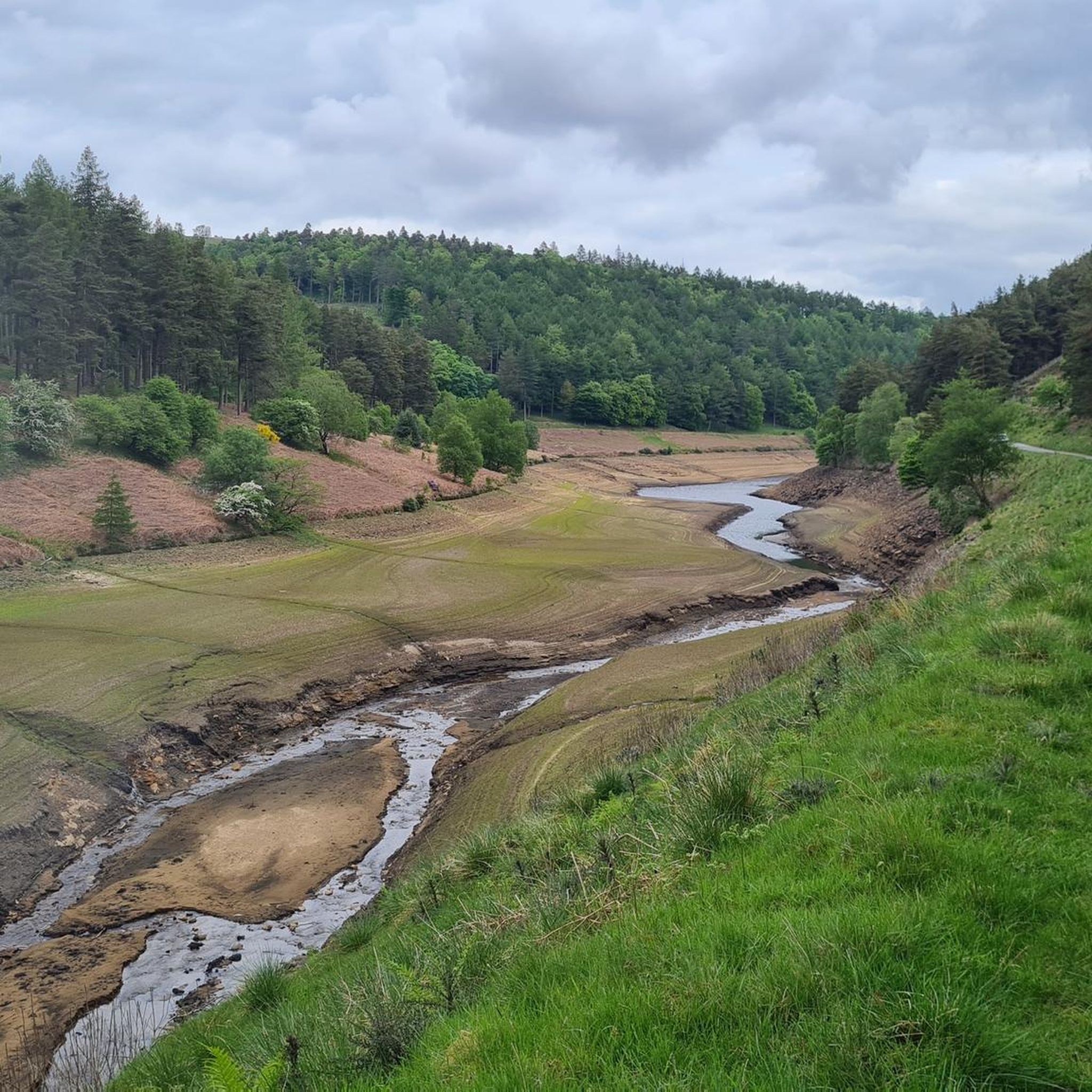
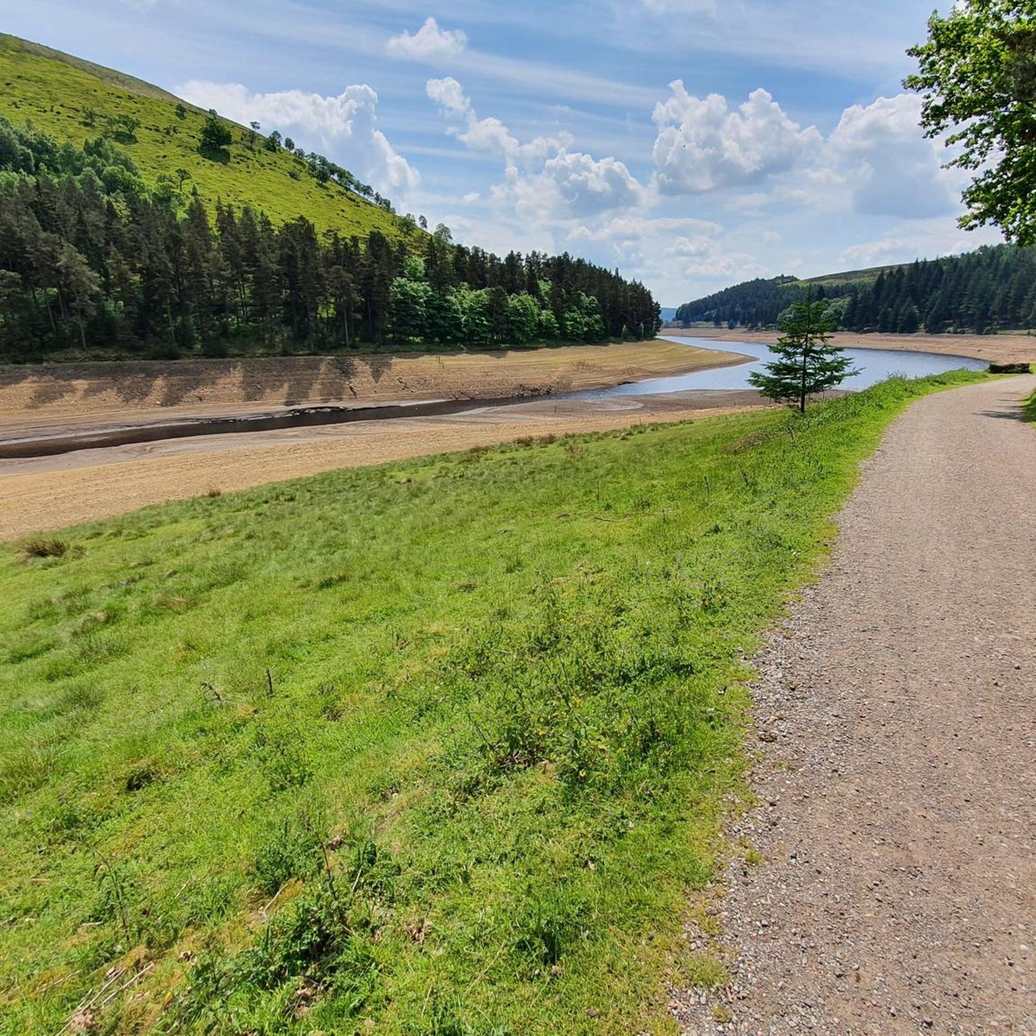

Tips from the Community

Great place to start hikes parking can get busy but plenty of routes to take
0
0


beautiful ikkle spot for a tea break and a picture.
0
0


Perfect sunrise and sunset spot. Great little easy-ish hike. Parking in lay-by.
0
0

It's probably the most underrated point in the peak district, with, in my opinion, the best views in the peaks.
1
0
Frequently Asked Questions
How many mountaineering routes are available around Howden Reservoir?
There are over 5 mountaineering routes detailed in this guide for the Howden Reservoir area, offering a range of experiences from moderate to difficult. These routes explore the expansive moorlands, forested valleys, and gritstone edges of the Upper Derwent Valley.
What kind of terrain can I expect on mountaineering routes around Howden Reservoir?
The terrain around Howden Reservoir is diverse, featuring expansive moorlands, forested hills, and gritstone edges. You can expect significant elevation gain on many routes, with challenging hillwalking opportunities across wild and remote landscapes. Areas like Derwent Edge and Featherbed Moss offer varied ascents and panoramic views.
Are there any family-friendly mountaineering options near Howden Reservoir?
While many routes are challenging, the broader Upper Derwent Valley offers trails suitable for various levels. For a less strenuous experience that still offers beautiful scenery, consider exploring the areas around the reservoir itself. The Derwent and Howden Reservoirs — Gravel Trail provides a gentler path suitable for families.
Can I bring my dog on the trails around Howden Reservoir?
Many trails in the Peak District, including those around Howden Reservoir, are dog-friendly. However, it's crucial to keep dogs on a lead, especially in areas with livestock or ground-nesting birds, particularly during lambing and bird breeding seasons (typically March to July). Always check local signage for specific restrictions.
What are some notable landmarks or natural features to look out for?
The area is rich in natural beauty and impressive structures. You'll encounter the serene Y-shaped Howden Reservoir itself, and the historic Howden Dam. Don't miss the picturesque Slippery Stones Packhorse Bridge and River Derwent Trail at the northern end of the reservoir, a popular spot for picnics and wild swimming. The surrounding moorlands, including Derwent Edge and Featherbed Moss, also offer dramatic landscapes.
Are there any circular mountaineering routes available?
Yes, several routes are designed as loops, allowing you to start and finish in the same location. For example, the Back Tor Trig Point – Derwent Edge loop from Hallfield is a popular circular trail that takes you through the rugged Derwent Edge area.
Where can I park when visiting Howden Reservoir for mountaineering?
The Fairholmes Visitor Centre is a primary hub for visitors and provides parking facilities. From here, you can access various trails leading to Howden Reservoir and the surrounding moorlands. It's advisable to arrive early during peak seasons as parking can fill up quickly.
Is public transport available to reach the Howden Reservoir area?
Public transport options to the Upper Derwent Valley, where Howden Reservoir is located, can be limited. While some bus services operate in the wider Peak District, direct access to the reservoir often requires a car. Check local bus schedules for routes connecting to nearby villages like Bamford or Hope, from where you might be able to connect or walk further.
What is the best time of year for mountaineering around Howden Reservoir?
Spring and autumn are often considered ideal for mountaineering in the Peak District. Spring brings new growth and milder temperatures, while autumn offers vibrant foliage. Summer can be pleasant, but trails may be busier. Winter mountaineering is possible but requires appropriate gear and experience due to potentially harsh weather conditions, including snow and ice on higher ground.
What do other mountaineers enjoy most about the routes here?
The area is highly rated by the komoot community, with an average score of 5.0 stars. Reviewers often praise the wild and remote feel of the moorlands, the stunning panoramic views from elevated points like Derwent Edge, and the sense of accomplishment from tackling challenging hillwalks. The diverse scenery, from forested valleys to gritstone edges, is also frequently highlighted.
Are there opportunities for wild swimming near the mountaineering routes?
Yes, the Slippery Stones Packhorse Bridge and River Derwent Trail area, located at the northernmost point of Howden Reservoir, is a popular and picturesque spot for wild swimming and picnics. It's a refreshing stop after a challenging hike.
How long do the mountaineering trails typically take to complete?
The duration of mountaineering trails around Howden Reservoir varies significantly based on distance, elevation gain, and your pace. For instance, the View of Mill Hill (Ashop Head) – Cup Rock, Fair Brook Naze loop from Hope Woodlands, a moderate 9.1-mile path, typically takes around 4 hours and 16 minutes. More challenging routes, like the Grindslow Knoll Summit – Mam Tor summit and trig point loop from Edale (11.1 miles), can take over 5 hours.
Most popular routes around Howden Reservoir
Most popular attractions around Howden Reservoir

Get inspired with the komoot mobile app


Explore more
Browse the best Mountain Hikes & Routes in other regions.
