The best walks and hikes around Blackton Reservoir
4.7
(288)
1,558
hikers
88
hikes
Hikes around Blackton Reservoir explore the landscape of Baldersdale within the North Pennines. The area is characterized by rolling hills, open grouse moors, and the calm waters of the Blackton, Hury, and Balderhead reservoirs. Most trails follow well-defined paths with moderate elevation changes, offering routes suitable for various fitness levels.
Best hiking trails around Blackton Reservoir
- The most popular hiking route is The Three Reservoirs loop — North Pennines, a 9.0 mile (14.6 km) trail that takes around 3…
Last updated: June 25, 2026
3.8
(4)
28
hikers
14.6km
03:53
160m
160m
Moderate hike. Good fitness required. Easily-accessible paths. Suitable for all skill levels.
7
hikers
11.4km
03:10
210m
210m
Moderate hike. Good fitness required. Easily-accessible paths. Suitable for all skill levels.

Sign up for free
4.0
(1)
6
hikers
Easy hike. Great for any fitness level. Easily-accessible paths. Suitable for all skill levels.
6
hikers
Moderate hike. Good fitness required. Easily-accessible paths. Suitable for all skill levels.
4.8
(10)
34
hikers
9.87km
02:41
140m
140m
Moderate hike. Good fitness required. Mostly accessible paths. Sure-footedness required.
Get access to more routes and recommendations from other explorers.
Sign up for free
Already have an account?
Our route recommendations are based on thousands of hikes, rides, and runs completed by other people on komoot.
Start today with a free account
Your next adventure awaits.
Login or Signup
Tips from the Community


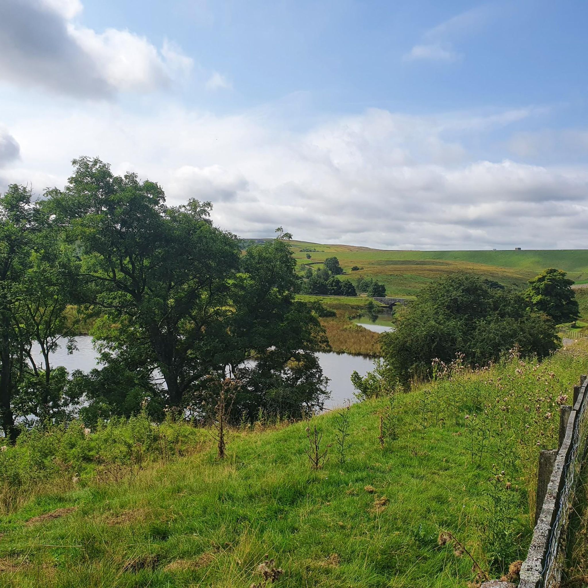
Along this stretch on the left end of Hury Reservoir, you'll follow a narrow path where, on one side, you'll have the reservoir and, on the other, the By Wash canal, which receives excess water from Blackton Reservoir, right next to Hury.
1
0
If you fancy a peaceful run in the area, you should definitely consider doing it around this beautiful spot. Besides the joy of running near the water, it's an ideal way to discover this rural gem and the landscapes that surround it.
1
0

What3Words Location = ///beam.hindered.glorious
0
0

Time to regenerate! Lovingly arranged here in the barn you will find what the hiker's heart needs to regain its strength. Among other things, refrigerator with various cold drinks, hot water, various snacks and protection from sun/rain. Very friendly owners, please write your name in their guestbook and leave a donation so that the commitment benefits as many people as possible :)
1
0

The footbridge over the narrow tail end of Hury Reservoir below the dam of Blackton Reservoir. A useful alternative to crossing the dam.
0
0
Hury reservoir was completed in 1892. It's the lowest in a series of three reservoirs on the river Balder designed to control the river flow and provide water to the people and industry of Teesdale.
0
0

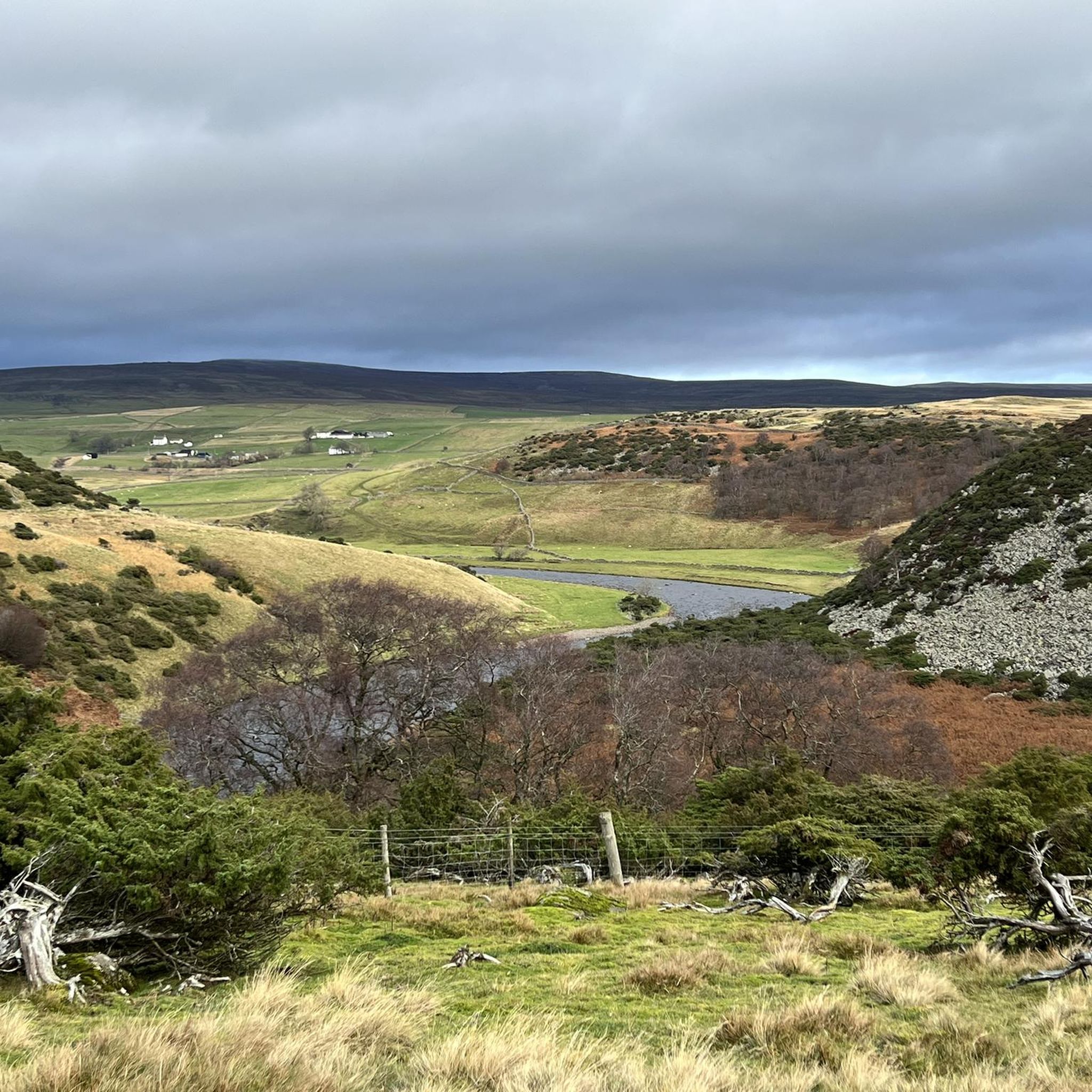
Baldersdale is an archetypal Pennine valley to the north west of Barnard Castle. Upper Baldersdale contains three reservoirs: Balderhead, Blackton and Hury, all of which boast circular walks. The popular Pennine Way passes through the dale between Balderhead Reservoir and Blackton Reservoir. The curled horns and friendly faces of Swaledale sheep are a common sight on the moors.
0
0
Frequently Asked Questions
Where can I park for walks around Blackton Reservoir?
There is no large, official car park directly at Blackton Reservoir. Parking is informal and limited, often found in lay-bys along the narrow country roads. It's advisable to arrive early, especially on weekends, to find a spot. Please park considerately and do not block access for farm vehicles.
Are the walking trails around Blackton Reservoir dog-friendly?
Yes, dogs are welcome on the trails. However, you must keep them on a lead at all times. The area consists of open moorland and farmland with grazing livestock, and it is also an important habitat for ground-nesting birds like grouse.
Are there any easy, family-friendly walks available?
Yes, the area is well-suited for families. For a shorter, accessible outing, the Blackton Reservoir – Hannah's Barn loop from Romaldkirk is an excellent choice. It's just over 3 kilometers and follows gentle paths through meadows, making it manageable for most abilities.
What is the scenery like on the trails?
The landscape is defined by the tranquil waters of the reservoirs set against a backdrop of the rolling hills and vast grouse moors of the North Pennines. You'll experience a mix of waterside paths, open moorland with expansive views, and walks through verdant green dales.
Are there any pubs or cafes near the reservoir for after a hike?
There are no pubs or cafes directly at Blackton Reservoir itself. For refreshments, you would need to drive to nearby villages like Romaldkirk or to the visitor centre at the neighbouring Grassholme Reservoir, which is about a ten-minute drive away.
What kind of wildlife can I expect to see?
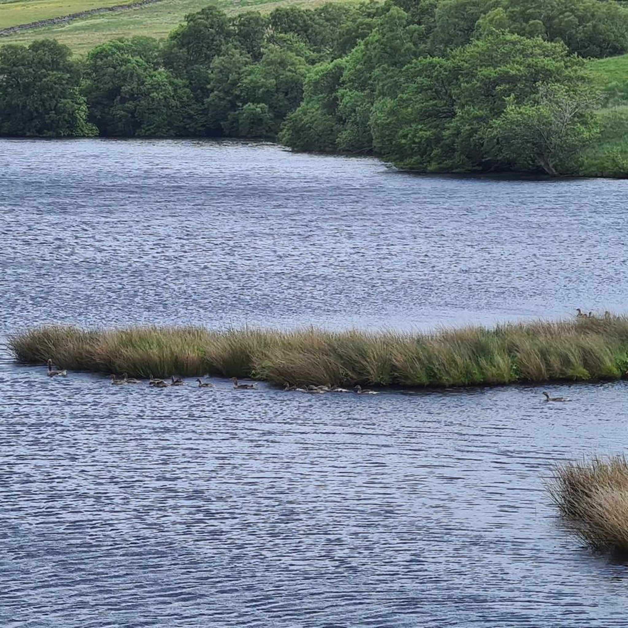
The area is a haven for birdwatchers. On and around the water, you can spot various species of ducks, geese, and herons. The surrounding moorlands are home to grouse. There is a bird hide located in the Blackton reserve for enthusiasts looking for a good vantage point.
How difficult are the hikes around Blackton Reservoir?
The trails offer a range of difficulties. While there are many easy, relatively flat paths suitable for casual walks, most routes are graded as moderate. These typically involve some gentle climbs and descents over varied terrain, with distances between 5 and 15 kilometers.
What do other hikers enjoy most about the area?
The komoot community rates the area highly, with an average score of 4.6 stars. Reviewers frequently praise the peaceful atmosphere, the stunning reservoir views, and the well-maintained, easy-to-follow paths that make for a relaxing day out in the Durham Dales.
Are there any longer, more challenging circular walks?
For a more substantial hike, consider the Around Balderhead Reservoir — North Pennines trail. This moderate circular route is nearly 10 kilometers long and provides excellent views over the water and the expansive moorland scenery.
Are there toilets or other facilities at the reservoir?
No, there are no public toilets, cafes, or visitor centres at Blackton Reservoir. The nearest facilities, including toilets and refreshments, are located at the Grassholme Reservoir visitor centre, a short drive away. There are some picnic benches available if you bring your own food and drink.
What is the best time of year to hike here?
Blackton Reservoir is a year-round destination. Spring brings colorful meadows, while summer offers long days for extended hikes. Autumn provides beautiful light, and winter has a stark, quiet beauty. Be prepared for muddy conditions on the paths outside of the dry summer months.
Are there any points of historical interest on the walks?
Yes, the wider Baldersdale area is known for being the home of Hannah Hauxwell, whose farm is a local landmark. A visit to the nearby Hannah's Meadows, a well-preserved traditional hay meadow, adds a unique cultural and historical element to your visit.
Most popular routes around Blackton Reservoir

Get inspired with the komoot mobile app


Explore more
Browse the best Hikes in other regions.
