The best walks and hikes around Darwell Reservoir
4.3
(399)
1,686
hikers
191
hikes
Hiking around Darwell Reservoir offers access to a landscape characterized by rolling hills and lush greenery within the High Weald Area of Outstanding Natural Beauty. The reservoir is encircled by ancient broadleaved woodland, including Darwell Wood, a designated Site of Special Scientific Interest. Streams feed into the serene water body, which covers approximately 156 acres. This region provides a tranquil environment for outdoor activities.
Best hiking trails around Darwell Reservoir
- The most popular hiking route is View of Brightling – Mad Jack Fuller's Tower loop from Brightling, a 5.0 miles (8.0 km) trail that takes 2 hours 12 minutes to complete, offering views of local landmarks.
- Another top favourite among local hikers is View of Brightling Observatory – Wakelys Lodging House loop from Brightling, a moderate 7.9 miles (12.7 km) path. This route features varied terrain and passes by historical sites.
- Local hikers also love the Mountfield Church – All Saints Church, Mountfield loop from Mountfield, a 5.3 miles (8.5 km) trail leading through local villages and countryside, often completed in about 2 hours 19 minutes.
- Hiking around Darwell Reservoir is defined by ancient woodlands, the serene reservoir, and the rolling hills of the High Weald. The network of trails offers options for easy, moderate, and more challenging ability levels.
- The routes in Darwell Reservoir are highly rated by the komoot community with an average score of 4.4 stars from more than 300 reviews. More than 1600 hikers have used komoot to explore Darwell Reservoir's varied terrain.
Last updated: July 9, 2026
2
hikers
7.39km
02:01
110m
110m
Moderate hike. Good fitness required. Easily-accessible paths. Suitable for all skill levels.
4.3
(7)
22
hikers
8.01km
02:12
130m
130m
Moderate hike. Good fitness required. Easily-accessible paths. Suitable for all skill levels.

Sign up for free
5.0
(1)
4
hikers
Moderate hike. Good fitness required. Easily-accessible paths. Suitable for all skill levels.
4.5
(2)
5
hikers
11.3km
03:07
190m
190m
Moderate hike. Good fitness required. Easily-accessible paths. Suitable for all skill levels.
5.0
(1)
5
hikers
Moderate hike. Good fitness required. Easily-accessible paths. Suitable for all skill levels.
Get access to more routes and recommendations from other explorers.
Sign up for free
Already have an account?
Our route recommendations are based on thousands of hikes, rides, and runs completed by other people on komoot.
Start today with a free account
Your next adventure awaits.
Login or Signup
Tips from the Community

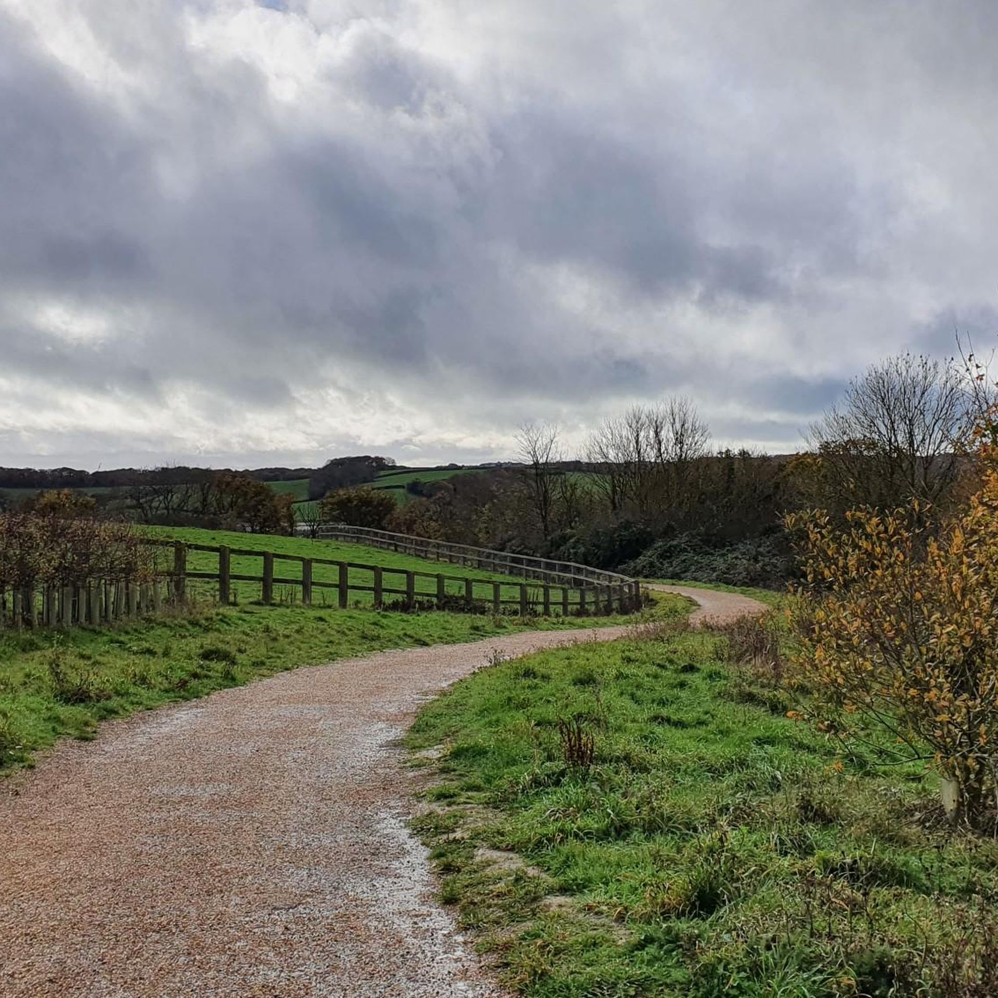
Beautful view 😍 go to the pub the White Stag for a good drink and stunning view
0
0

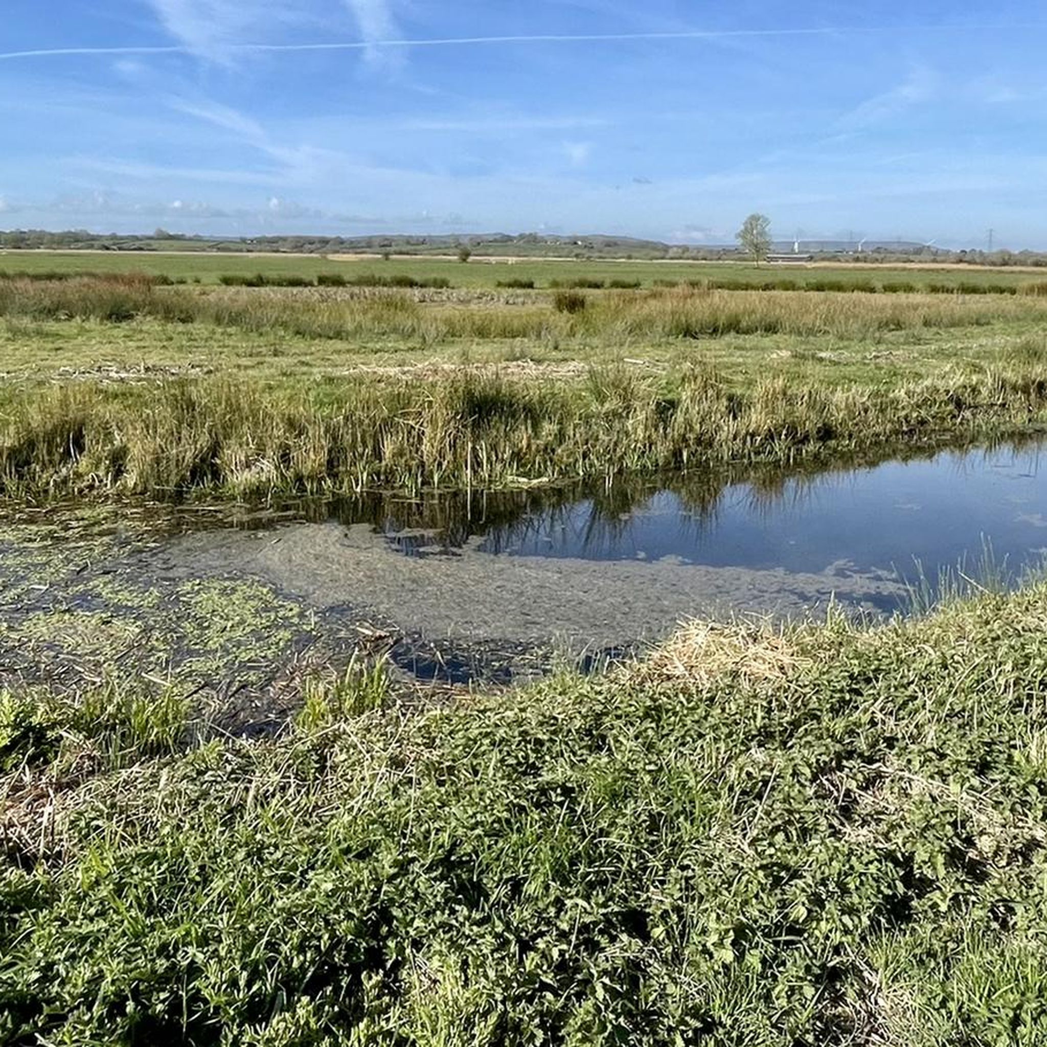
beautiful landscape
0
0

The patronage of this church—dedicated to Saint Thomas of Canterbury—takes us back in time to the 12th century and geographically to southeastern England. Thomas Becket (born 1118) was Archbishop of Canterbury and, in the dispute between the Church and the Crown (King Henry II), a "martyr of canon law and ecclesiastical freedom," as Pope Alexander III put it on the occasion of his canonization (1173, just three years after Thomas's violent death). His feast day in the calendar of saints is December 29th. Canterbury Cathedral, where he was murdered in 1170 and which contains his tomb, can be visited virtually in the komoot system at the following link =>> https://www.komoot.com/de-de/highlight/231266
0
0

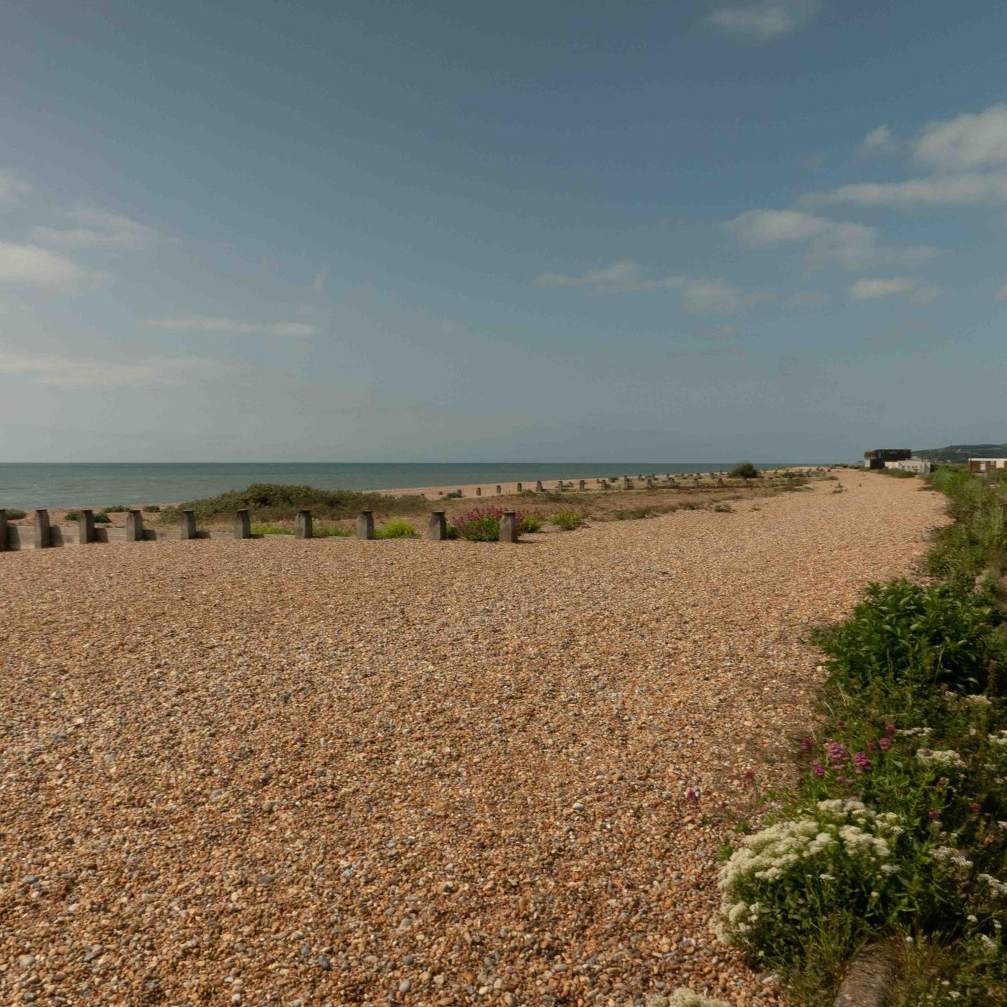
Long Reaching Sea views. Fills your heart lungs and eyes for days!
0
0
Gets busy at peak times like bank hols and Half terms. Worthy fresh cofffee stop
0
0
A song that—originally from the American gospel tradition—has traveled the world, fitting perfectly for this church, which the parish has entrusted to the patron saint of "All Saints." "Oh when the Saints go marching in, oh when the Saints go marching in, oh Lord, I want to be in that number, oh when the Saints go marching in." Over the decades, new versions of the lyrics have repeatedly emerged; the original text cannot be verified due to the early oral tradition. Many artists have taken up the gospel song and released their own interpretations, such as Bruce Springsteen with his session band at a concert in Dublin: https://www.youtube.com/watch?v=i6eKkirEcgE
1
0
Frequently Asked Questions
How many hiking trails are available around Darwell Reservoir?
There are over 190 hiking routes available around Darwell Reservoir, catering to various skill levels. You'll find a wide selection, from easy strolls to more challenging treks.
What kind of terrain can I expect on hikes around Darwell Reservoir?
The terrain around Darwell Reservoir is characterized by rolling hills and lush greenery, typical of the High Weald Area of Outstanding Natural Beauty. Trails often pass through ancient broadleaved woodlands, including Darwell Wood, and offer views of the serene reservoir. Expect a mix of woodland paths, open countryside, and some gentle ascents and descents.
Are there any circular walks around Darwell Reservoir?
Yes, circular walks are a popular option. The region is known for its extensive network of footpaths, with a notable five-mile circular walk around the reservoir itself, often starting from Mountfield. Many routes, like the View of Brightling – Mad Jack Fuller's Tower loop from Brightling, are designed as loops, allowing you to return to your starting point.
Is Darwell Reservoir a good place for family hikes?
Absolutely. The area offers many easy and moderate trails suitable for families. The tranquil environment and diverse wildlife make it an engaging experience for all ages. For a shorter, easier option, consider the High Weald National Landscape loop from Robertsbridge.
Are dogs allowed on the trails around Darwell Reservoir?
Many trails around Darwell Reservoir are dog-friendly, especially those through the ancient woodlands. However, it's always recommended to keep dogs under control, particularly near livestock or in areas designated for wildlife protection, such as Darwell Wood (a Site of Special Scientific Interest).
What natural features or landmarks can I see while hiking?
Hikers can enjoy the serene Darwell Reservoir itself, which is over a mile long. The surrounding ancient woodlands, including Darwell Wood, are a significant natural feature. You might also spot diverse bird species like kingfishers, herons, and woodpeckers. Some routes, like the View of Brightling Observatory – Wakelys Lodging House loop from Brightling, pass by historical sites and offer views of local landmarks.
What is the best time of year to go hiking around Darwell Reservoir?
Darwell Reservoir offers beautiful hiking opportunities year-round. Spring brings blooming wildflowers and fresh greenery, while autumn showcases stunning foliage in the ancient woodlands. Summer is ideal for longer days, and even winter walks can be peaceful, though some paths might be muddy. The tranquil atmosphere is consistent throughout the seasons.
Are there options for easy hikes for beginners or those seeking a relaxed walk?
Yes, there are plenty of easy options. Out of the 195 routes, 89 are classified as easy. These trails are generally shorter with minimal elevation gain, perfect for a relaxed stroll. An example of an easy route is the High Weald National Landscape loop from Robertsbridge.
Where can I park when visiting Darwell Reservoir for a hike?
While direct access to the reservoir itself is limited, parking is typically available in nearby villages such as Mountfield or Brightling, which serve as common starting points for the popular circular walks and other trails in the area. Always check local signage for specific parking regulations.
What do other hikers say about the trails around Darwell Reservoir?
The trails around Darwell Reservoir are highly rated by the komoot community, with an average score of 4.4 stars from over 300 reviews. Hikers often praise the peaceful and tranquil ambiance, the beauty of the ancient woodlands, and the well-maintained network of footpaths that offer a great escape into nature.
Are there any longer, more challenging routes for experienced hikers?
Yes, for those seeking a greater challenge, there are 10 difficult routes and 96 moderate routes available. These trails typically cover longer distances and feature more significant elevation changes. An example of a moderate route is the Mountfield Church loop from Brightling, which covers over 11 km.
Can I find places to eat or drink near the hiking trails?
While the immediate vicinity of the reservoir is primarily natural, the surrounding villages like Mountfield and Brightling often have local pubs or cafes where you can refresh yourself after a hike. It's a good idea to check opening times in advance, especially in smaller communities.
Most popular routes around Darwell Reservoir

Get inspired with the komoot mobile app


Explore more
Browse the best Hikes in other regions.
