The best road cycling routes around Ulley Reservoir
4.4
(81)
3,524
riders
335
rides
Road cycling routes around Ulley Reservoir traverse a landscape characterized by rolling hills and open countryside in South Yorkshire. The area features a mix of quiet rural roads and some moderate climbs, offering varied terrain for road cyclists. Prominent features include views of wind turbines and historical landmarks. The region's topography provides a balance of flat sections and elevation changes suitable for different fitness levels.
Best road cycling routes around Ulley Reservoir
- The most popular road cycling route is View…
Last updated: July 8, 2026
5
riders
Moderate road ride. Great for any fitness level. Some segments of this route may be unpaved and difficult to ride.
3.0
(1)
4
riders
Moderate road ride. Great for any fitness level. Some segments of this route may be unpaved and difficult to ride.

Sign up for free
7
riders
Moderate road ride. Great for any fitness level. Some segments of this route may be unpaved and difficult to ride.
7
riders
24.3km
01:10
220m
220m
Easy road ride. Great for any fitness level. Mostly well-paved surfaces and easy to ride.
7
riders
Moderate road ride. Great for any fitness level. Some segments of this route may be unpaved and difficult to ride.
Get access to more routes and recommendations from other explorers.
Sign up for free
Already have an account?
Our route recommendations are based on thousands of hikes, rides, and runs completed by other people on komoot.
Start today with a free account
Your next adventure awaits.
Login or Signup
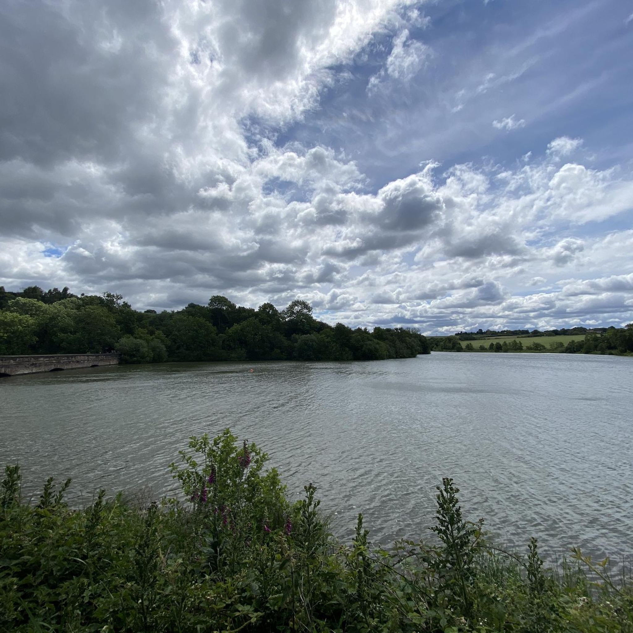

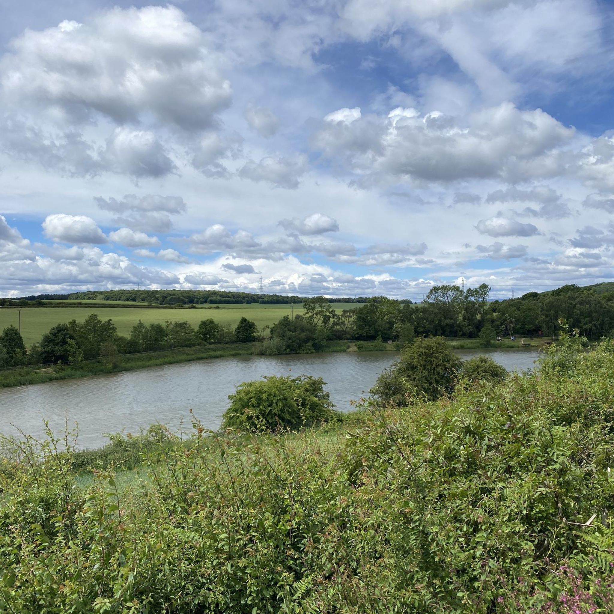
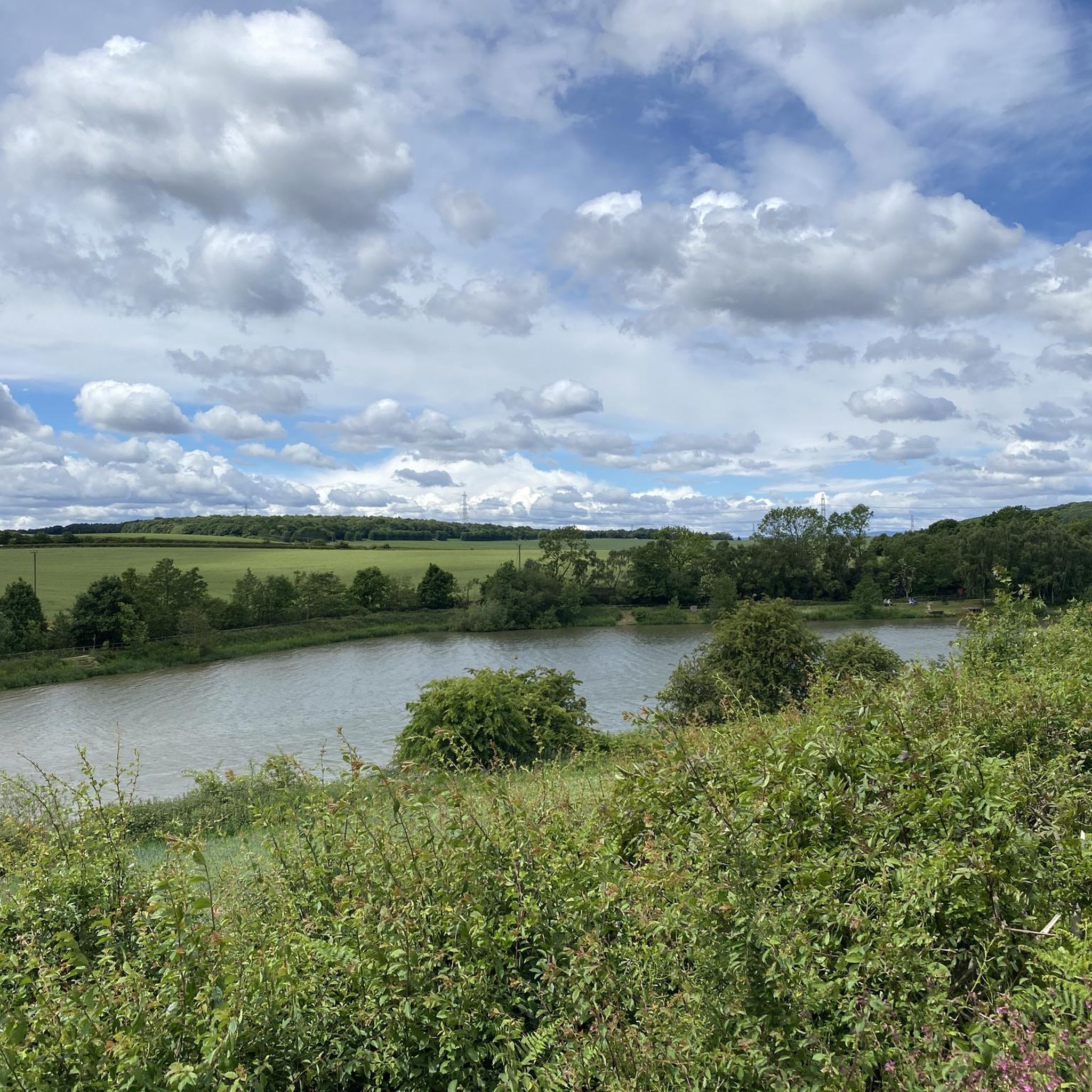
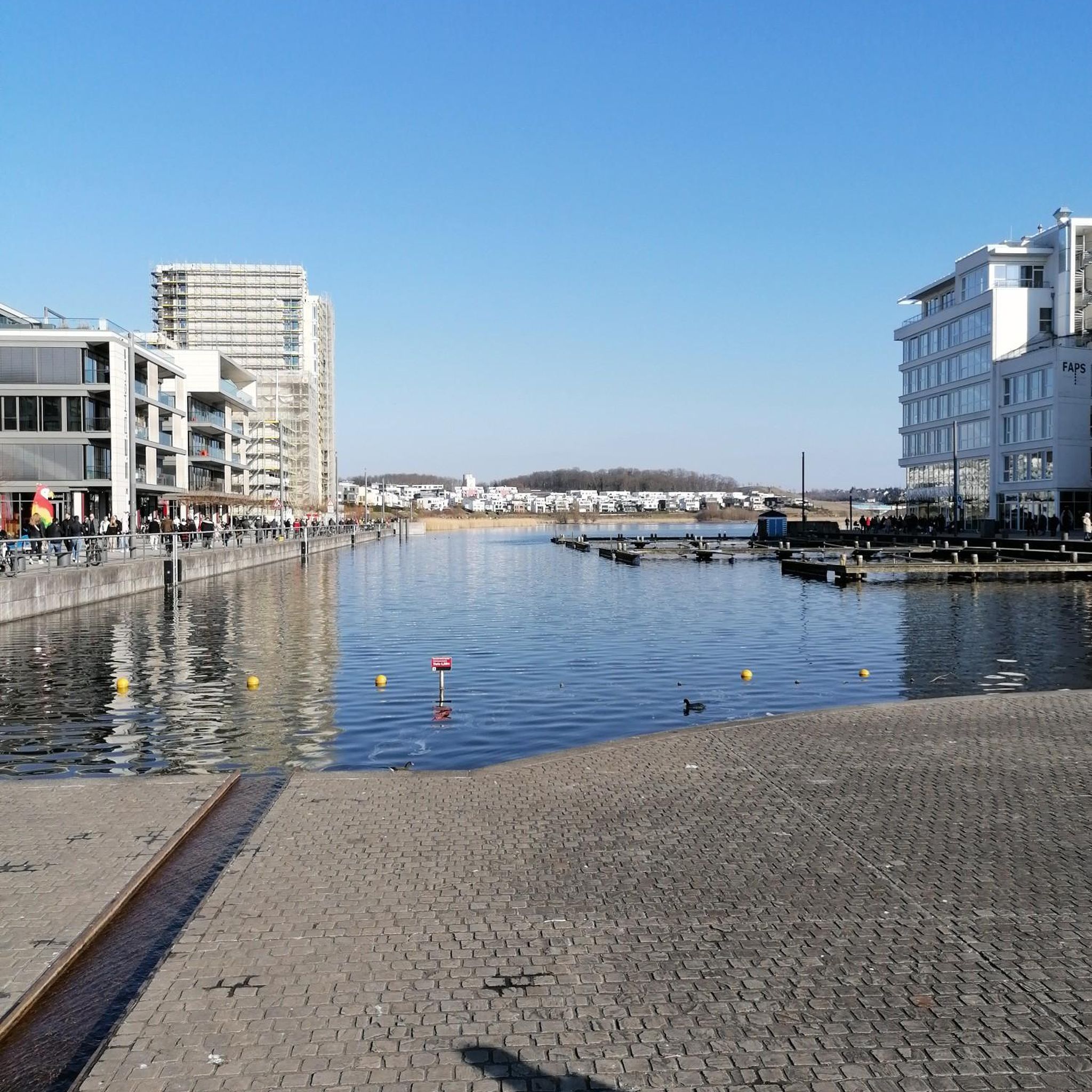
Tips from the Community

Little farm shop selling self produced goods. Very tasty, it's a rustical setting, just off the road, plenty of place to sit outside and enjoy a brew and a piece of very tasty home made cake! 😊
0
0

June 2025 - they've covered the road with chip and seal which is very loose and has formed mounds in places. It's not too bad going up but wouldn't recommend a descent.
0
0

King’s Wood Lane is a peaceful, open road that forms part of the Rotherham Local Cycle Network, connecting King’s Wood with Laughton-en-le-Morthen. Be sure to stop by the café at Leger Lakes, just before reaching Laughton-en-le-Morthen.
0
0


The ruins of Thorpe Hall, a manor house designed and built by Robert Smythson in 1570
1
0

If riding from Sheffield, this is the first bit of 'proper' peace and quiet you get when heading East. Not many easy ways to get up here so the first views of the flatlands ahead are very welcome!
0
0

Frequently Asked Questions
What is the general difficulty level for road cycling routes around Ulley Reservoir?
The road cycling routes around Ulley Reservoir cater to a wide range of abilities. The area features rolling hills and open countryside, offering a mix of terrain. You'll find options from easy, with 67 routes available, to moderate (244 routes), and more challenging difficult routes (39 routes) for experienced cyclists.
Are there any circular road cycling routes around Ulley Reservoir?
Yes, many road cycling routes around Ulley Reservoir are designed as loops, allowing you to start and finish at the same point. A popular moderate option is the View of Ughill Wind Turbines – Bib Lane Climb loop from Aston cum Aughton, which is 18.7 miles (30.1 km) long and features sustained climbs.
What are the typical distances for road cycling routes near Ulley Reservoir?
Road cycling routes in the Ulley Reservoir area vary in length. You can find shorter loops, such as the View of Ughill Wind Turbines loop from Aston cum Aughton at 7.9 miles (12.8 km), or longer rides like the View of Ughill Wind Turbines – Thorpe Hall Ruins loop from Aston cum Aughton, which covers 21.6 miles (34.8 km).
What kind of terrain can I expect on road cycling routes around Ulley Reservoir?
The terrain around Ulley Reservoir is characterized by rolling hills and open countryside. Cyclists can expect a mix of quiet rural roads and some moderate climbs, providing varied challenges and scenic views. The region's topography offers a good balance of flatter sections and elevation changes.
Are there any family-friendly road cycling routes suitable for beginners near Ulley Reservoir?
While specific 'family-friendly' routes are not explicitly detailed, the area does offer 67 easy-rated road cycling routes. These typically feature less elevation gain and quieter roads, making them more suitable for beginners or families looking for a relaxed ride. Look for routes with lower elevation and shorter distances for a gentler experience.
What are some notable viewpoints or landmarks along the road cycling routes?
Many routes offer views of wind turbines, such as the Ulley Reservoir – View of Ughill Wind Turbines loop from Aston cum Aughton. You might also encounter historical landmarks, as seen on the View of Ughill Wind Turbines – Thorpe Hall Ruins loop from Aston cum Aughton, which passes by Thorpe Hall Ruins.
What do other road cyclists enjoy most about road cycling in Ulley Reservoir?
The road cycling routes in Ulley Reservoir are highly rated by the komoot community, with an average score of 4.5 stars from over 60 reviews. Cyclists often praise the varied terrain, which includes rolling hills and open countryside, as well as the quiet rural roads that make for an enjoyable ride.
How many road cycling routes are available to explore around Ulley Reservoir?
There are over 350 road cycling routes available around Ulley Reservoir on komoot. This extensive network provides numerous options for cyclists of all skill levels, from short, easy loops to longer, more challenging rides with significant elevation changes.
What is the best time of year for road biking around Ulley Reservoir?
The best time for road biking around Ulley Reservoir generally aligns with milder weather conditions, typically from spring through autumn. During these seasons, you can expect more pleasant temperatures and less chance of adverse weather, making the rolling hills and open countryside more enjoyable. Winter conditions can bring colder temperatures and potentially icy roads, so caution is advised.
Are there any cafes or places to stop for refreshments near the road cycling routes?
While specific cafes are not listed in the route data, the Ulley Reservoir area is part of South Yorkshire, which typically has local villages and towns with amenities. Cyclists often find cafes and pubs in nearby settlements like Aston cum Aughton or Guilthwaite, which serve as common starting points or pass-through locations for many routes, such as The White Bridge – Steel Canyon loop from Guilthwaite.
What are the typical elevation gains on road cycling routes in this region?
The road cycling routes around Ulley Reservoir feature varied elevation gains due to the rolling hills. For example, a moderate route like the View of Ughill Wind Turbines – Bib Lane Climb loop from Aston cum Aughton includes an elevation gain of approximately 323 meters (1,060 feet). Shorter, easier routes will have less, while more difficult ones will have greater climbs.
Most popular routes around Ulley Reservoir

Get inspired with the komoot mobile app


Explore more
Browse the best Road cycling routes in other regions.
