The best walks and hikes around Dietlikon
4.8
(30)
199
hikers
27
hikes
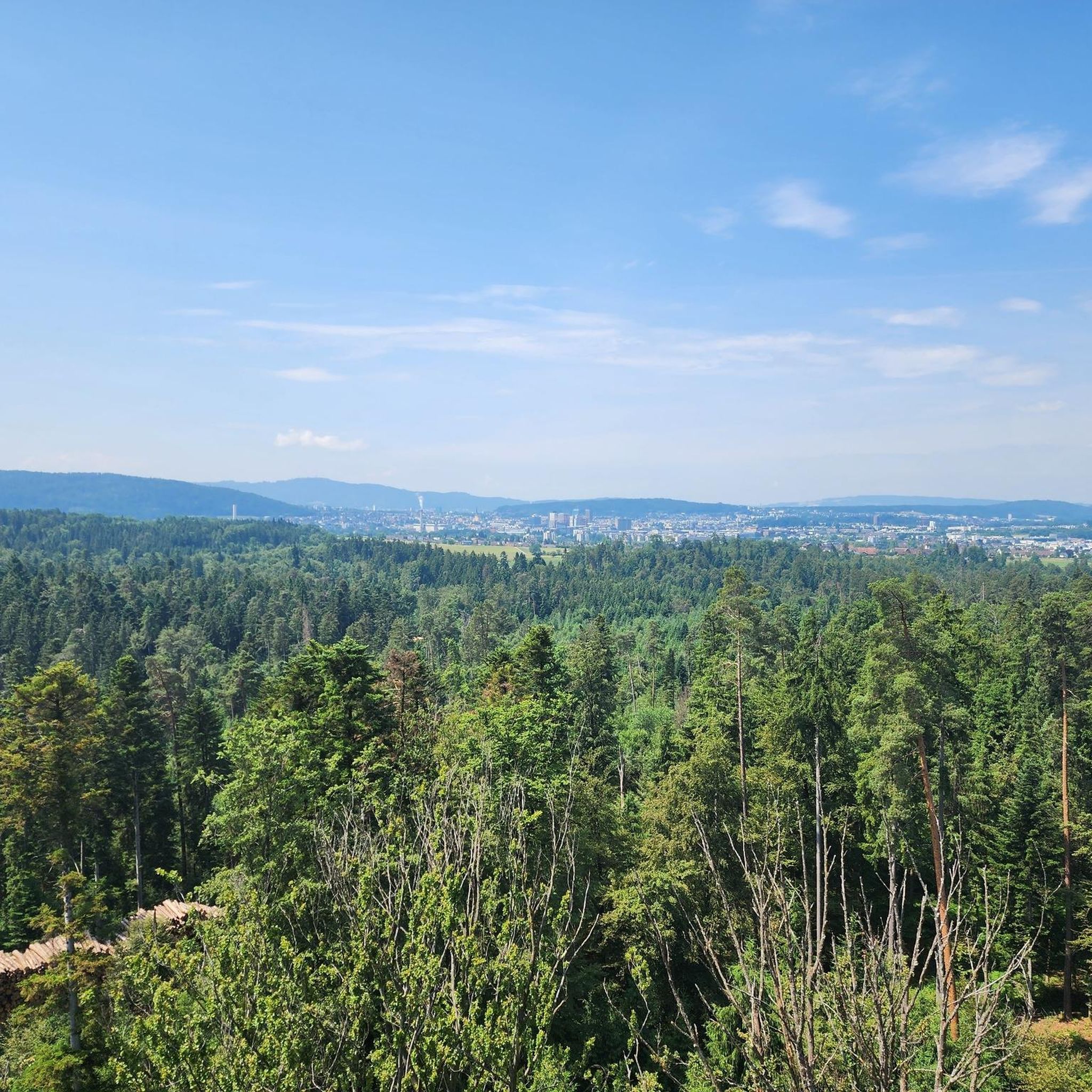
Hiking around Dietlikon offers access to varied terrain, primarily characterized by the extensive Hardwald forest. This area features a prominent observation tower, providing panoramic views of the region, including the Glarner Alps and Greifensee lake. The proximity to the Limmat Valley also contributes to the natural appeal, offering opportunities for walks along riverbanks. The landscape includes both forested paths and open areas, with gentle elevation changes.
Best hiking trails around Dietlikon
- The most popular hiking route is Hardwald Tower – Rest Area with Fountain loop from Bassersdorf, a 5.3 miles (8.5 km) trail that takes 2 hours 13 minutes to complete. This moderate route features the Hardwald Observation Tower and designated rest areas.
- Another top favourite among local hikers is Hardwald Forest Adventure Trail – Hardwald Observation Tower loop from Dietlikon, a moderate 5.2 miles (8.4 km) path. This trail winds through the Hardwald forest, incorporating an adventure trail and leading to the observation tower.
- Local hikers also love the Hardwald Observation Tower loop from Bassersdorf, a 1.6 miles (2.5 km) trail leading through the Hardwald forest, often completed in about 40 minutes.
- Hiking around Dietlikon is defined by dense woodlands, the Hardwald Observation Tower, and regional access to the Limmat Valley. The network offers options for both easy walks and more moderate routes.
- The routes in Dietlikon are highly rated by the komoot community with an average score of 4.7 stars from over 25 reviews. More than 200 hikers have used komoot to explore Dietlikon's varied terrain.
Last updated: June 27, 2026
4.7
(11)
36
hikers
Easy hike. Great for any fitness level. Easily-accessible paths. Suitable for all skill levels.
5.0
(2)
15
hikers
2.53km
00:40
20m
20m
Easy hike. Great for any fitness level. Easily-accessible paths. Suitable for all skill levels.

Sign up for free
4.5
(2)
21
hikers
Easy hike. Great for any fitness level. Easily-accessible paths. Suitable for all skill levels.
5.0
(3)
9
hikers
Easy hike. Great for any fitness level. Easily-accessible paths. Suitable for all skill levels.
5.0
(1)
8
hikers
Moderate hike. Good fitness required. Easily-accessible paths. Suitable for all skill levels.
Get access to more routes and recommendations from other explorers.
Sign up for free
Already have an account?
Our route recommendations are based on thousands of hikes, rides, and runs completed by other people on komoot.
Start today with a free account
Your next adventure awaits.
Login or Signup
Tips from the Community

You can sit comfortably with family and have a barbecue!
0
0

Invites you to refresh yourself
0
0

Opfiker Wald is a nice quiet stretch nicely asphalted road until in the middle of the forest, there is a short part of 500m very fine hard packed gravel and suitable for road bikes. In the summer the green canopy of leaves provides much needed shade.
0
0

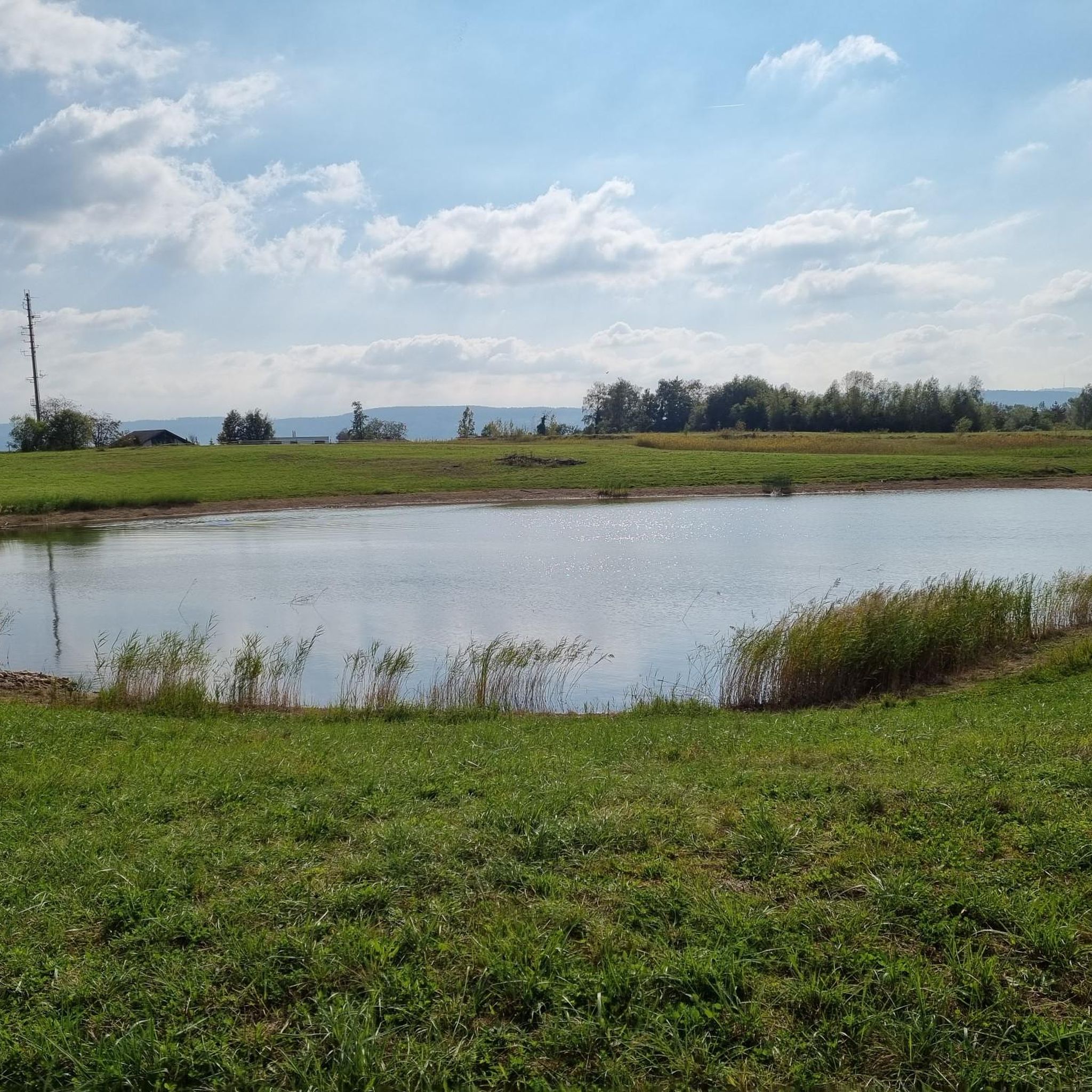
There is a small pond nearby
0
0

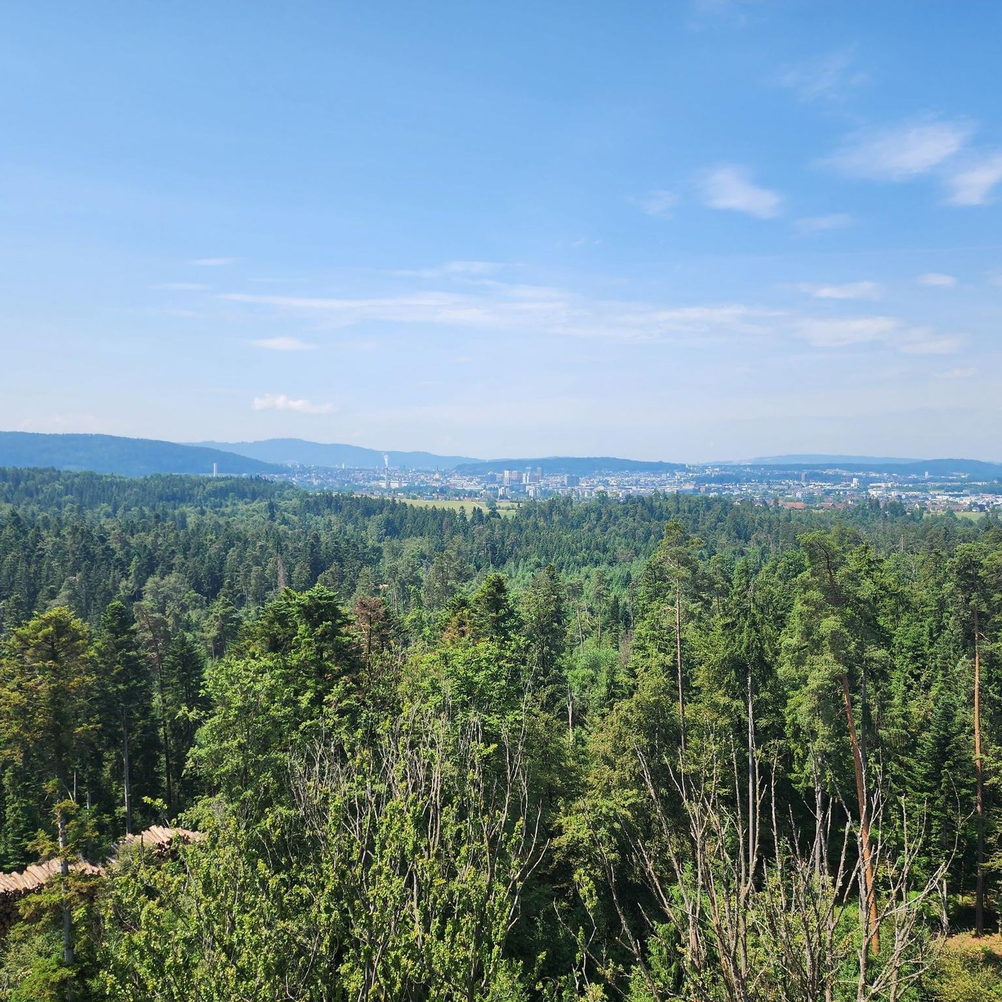
The 42-meter-high Hardwald observation tower was built entirely from local wood and was inaugurated in 2022. There are a total of 210 steps to climb until you reach the top platform and are rewarded with a beautiful panoramic view of the entire region. The tower has a barbecue area, a fountain and toilet facilities.
3
0

This new building is impressive; from above you have a fantastically beautiful view of the Alps and Kloten Airport
3
1
The Dietikonerstrasse from Opfikon to Wallisellen is a nice connector route to get to the other side of the forest. The street is about 80% asphalt with 20% very hard packed chipped limestone gravel which is also suitable for a road bike. The forest has a low numerous trails for gravel biking.
0
0

Nice little pond with a viewing platform and seating area next to it.
2
0
Frequently Asked Questions
How many hiking trails are available around Dietlikon?
Dietlikon offers a diverse network of over 25 hiking routes, catering to various preferences. These trails have been enjoyed by more than 200 hikers from the komoot community.
What kind of terrain and difficulty can I expect on hikes in Dietlikon?
The hiking terrain around Dietlikon is primarily characterized by the extensive Hardwald forest, featuring both forested paths and open areas. You'll find mostly gentle elevation changes. The majority of routes are classified as easy (over 20 trails), with a few moderate options available, making it accessible for various fitness levels.
Are there any notable landmarks or viewpoints to discover on hikes near Dietlikon?
Yes, a prominent landmark is the Hardwald Observation Tower, a 41-meter-tall wooden structure offering panoramic views of the region, including the Glarner Alps, Greifensee lake, and the cities of Zurich and Opfikon. The area around the tower also provides amenities like barbecue spots. You can experience this on routes such as the Hardwald Tower – Rest Area with Fountain loop from Bassersdorf. Additionally, the nearby Limmat Valley offers peaceful natural environments, and the broader region includes the Pfannenstiel ridge with its own observation tower and scenic views.
Are there family-friendly hiking options in Dietlikon?
Absolutely. The Hardwald forest is particularly well-suited for families, featuring an adventure trail and amenities like barbecue spots, a fountain, and toilets near the observation tower. Many of the easy routes are perfect for family outings, such as the Hardwald Forest Adventure Trail – Hardwald Observation Tower loop from Dietlikon.
Can I bring my dog on hikes around Dietlikon?
Yes, the Hardwald forest and surrounding areas are generally dog-friendly. When hiking with your dog, it's always recommended to keep them on a leash, especially in forested areas and near wildlife, and to clean up after them to ensure a pleasant experience for everyone.
Are there many circular hiking routes available in Dietlikon?
Many of the hiking routes in Dietlikon are designed as loops, offering convenient starting and ending points. Examples include the Hardwald Observation Tower loop from Bassersdorf and the Hardwald Observation Tower – View of Dietlikon loop from Wallisellen.
What are the parking and public transport options for accessing hiking trails in Dietlikon?
Dietlikon is well-connected, making it accessible by both car and public transport. For trails in the Hardwald, there are often designated parking areas. Public transport, such as local buses and trains, can also bring you close to various trailheads, especially those starting from Dietlikon or nearby municipalities like Bassersdorf and Wallisellen.
What do other hikers enjoy the most about hiking in Dietlikon?
The hiking routes in Dietlikon are highly rated by the komoot community, with an average score of 4.7 stars. Hikers often praise the peaceful atmosphere of the Hardwald forest, the panoramic views from the observation tower, and the well-maintained paths suitable for various activities.
Are there places to have a picnic or barbecue along the trails?
Yes, particularly around the Hardwald Observation Tower, you'll find dedicated barbecue spots and rest areas, making it an ideal location for a picnic or a grill. There are also facilities like a fountain and toilets nearby for convenience.
Are there any easy, shorter hikes suitable for beginners or a quick stroll?
Absolutely. Dietlikon offers numerous easy routes, many of which are under 5 km and can be completed in about an hour. For instance, the Hardwald Observation Tower loop from Bassersdorf is a 2.5 km trail that takes around 40 minutes, perfect for a quick and enjoyable walk.
What kind of natural features can I expect to see in the Dietlikon area?
Beyond the dense woodlands of the Hardwald, you can explore the natural beauty of the Limmat Valley, known for its floodplains and diverse plant and wildlife, including cormorants and kingfishers. The region also offers glimpses of distant mountains like the Glarner Alps from higher viewpoints.
Are there any huts or shelters available along the hiking routes?
While specific huts directly on every trail may vary, the broader region around Dietlikon includes several shelters and forest cabins. For example, you might find the Forst Team Pfungen Shelter and Grill Area or the Wallisellen Forest Cabin in nearby areas, which can offer a place to rest or seek shelter.
Most popular routes around Dietlikon
Most popular attractions around Dietlikon

Get inspired with the komoot mobile app


Explore more
Browse the best Hikes in other regions.
