The best walks and hikes around Cheddar Reservoir
4.6
(1792)
14,760
hikers
412
hikes
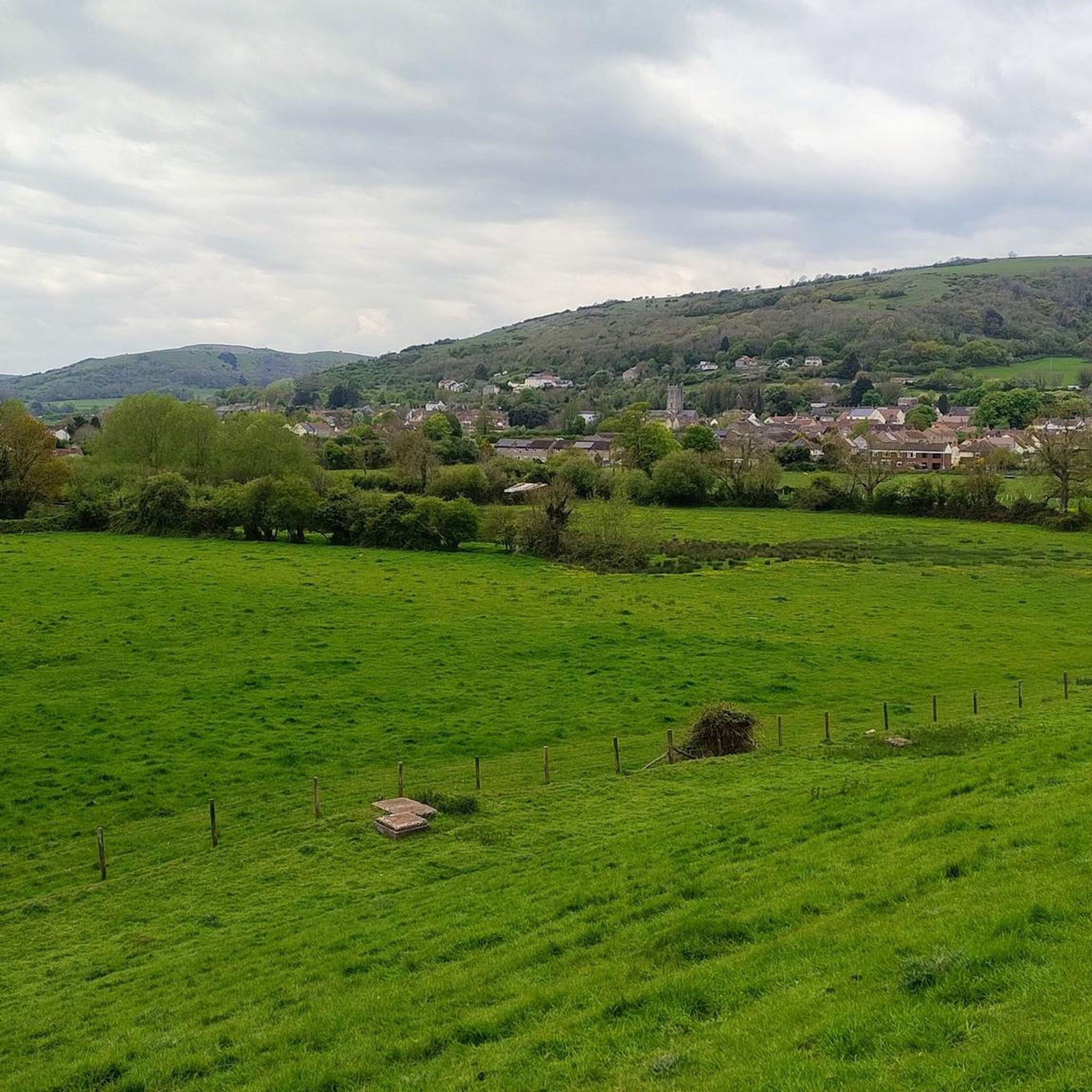
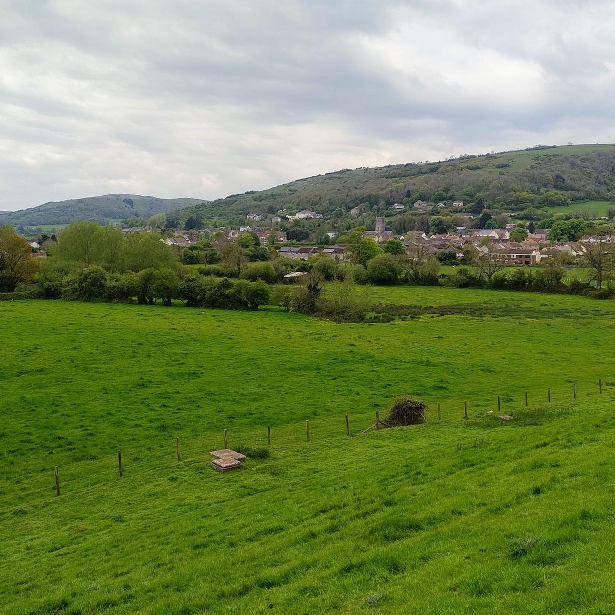
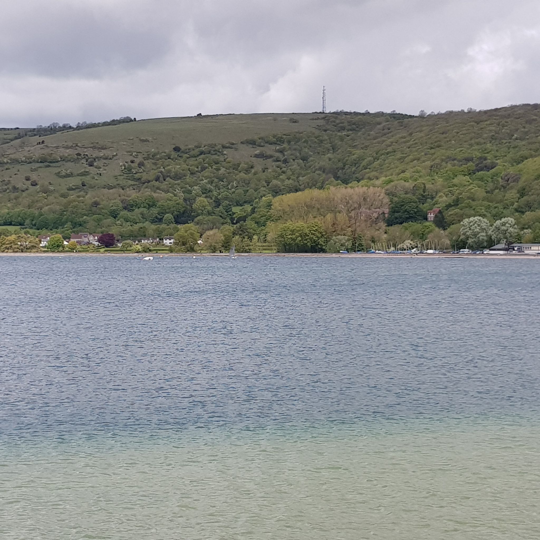
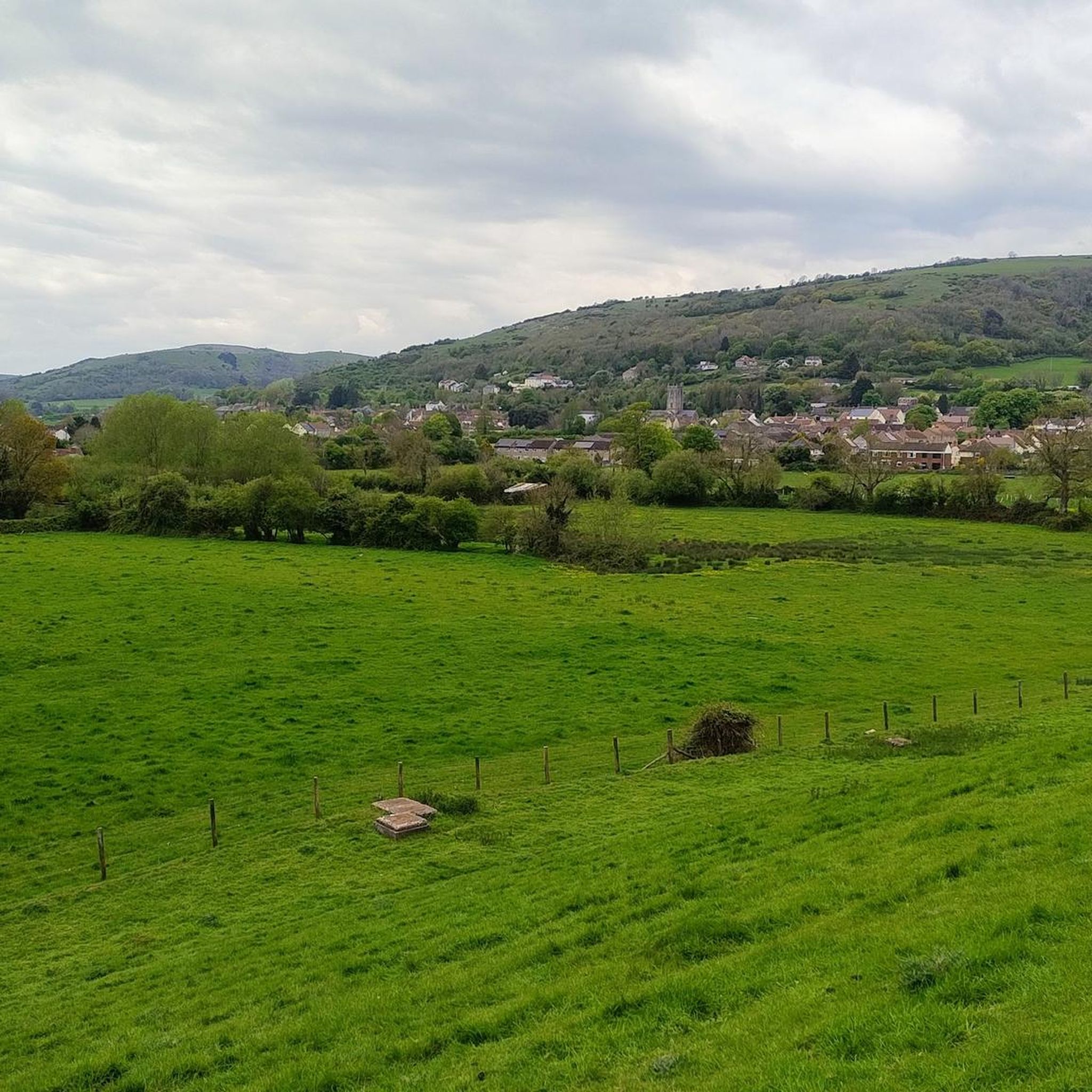
Hiking around Cheddar Reservoir offers diverse terrain, from flat, accessible paths encircling the water to more challenging routes extending into the Mendip Hills. The area features the expansive artificial lake, framed by earth banks, with the dramatic limestone cliffs of Cheddar Gorge and the rolling countryside of the Somerset Levels providing a scenic backdrop. This region is also a Site of Special Scientific Interest, known for its significant birdlife.
Best hiking trails around Cheddar Reservoir
- The most popular hiking route is Cheddar Reservoir loop from Axbridge, a 3.0 miles (4.9 km) trail that takes 1 hour 14 minutes to complete. This largely flat and well-maintained path offers continuous views of the reservoir and surrounding countryside.
- Another top favourite among local hikers is Cheddar Reservoir – View of Cheddar Reservoir loop from Axbridge, an easy 2.2 miles (3.5 km) path. This route provides scenic perspectives of the reservoir, ideal for a shorter, accessible walk.
- Local hikers also love the Beacon Batch summit trig point – View of Cheddar Reservoir loop from Axbridge, a 16.0 miles (25.7 km) trail leading through the Mendip Hills, often completed in about 7 hours 6 minutes.
- Hiking around Cheddar Reservoir is defined by open waters, dramatic cliffs of Cheddar Gorge, and the rolling countryside of the Somerset Levels. The network offers options for easy strolls around the reservoir and more challenging climbs into the Mendip Hills.
- The routes in Cheddar Reservoir are highly rated by the komoot community with an average score of 4.6 stars from over 1,600 reviews. More than 14,000 hikers have used komoot to explore Cheddar Reservoir's varied terrain.
Last updated: June 25, 2026
4.7
(16)
458
hikers
4.86km
01:14
20m
20m
Easy hike. Great for any fitness level. Easily-accessible paths. Suitable for all skill levels.
4.0
(1)
16
hikers
3.50km
00:54
20m
20m
Easy hike. Great for any fitness level. Easily-accessible paths. Suitable for all skill levels.

Sign up for free
5.0
(2)
5
hikers
25.7km
07:06
440m
440m
Hard hike. Very good fitness required. Easily-accessible paths. Suitable for all skill levels.
5.0
(1)
11
hikers
7.29km
01:53
40m
40m
Easy hike. Great for any fitness level. Easily-accessible paths. Suitable for all skill levels.
4
hikers
9.71km
02:36
110m
110m
Moderate hike. Good fitness required. Easily-accessible paths. Suitable for all skill levels.
Get access to more routes and recommendations from other explorers.
Sign up for free
Already have an account?
Our route recommendations are based on thousands of hikes, rides, and runs completed by other people on komoot.
Start today with a free account
Your next adventure awaits.
Login or Signup

Tips from the Community

Handy, though oddly coins or pay-by-phone only (no contactless). Also public loos are closed.
0
0

The legendary sword in the stone. Who can pull it out?
0
0

Sword in the Cliffs River
0
0


Lovely open area of nature reserve, great for exploring
1
0
Frequently Asked Questions
How accessible are the trails around Cheddar Reservoir for different abilities?
The primary circular footpath around Cheddar Reservoir is largely flat and well-maintained, making it suitable for all fitness levels. This path is ideal for families with pushchairs and individuals using wheelchairs. For those seeking more challenging routes, the area also serves as a gateway to the wider Mendip Hills, offering varied terrain and elevation.
What is the typical length and duration of a walk around Cheddar Reservoir itself?
The main circular path that encircles Cheddar Reservoir is approximately 2.2 to 2.5 miles (3.5 to 4 km) long. An easy route like Cheddar Reservoir – View of Cheddar Reservoir loop from Axbridge is about 2.2 miles (3.5 km) and typically takes just over an hour to complete, offering continuous views of the water.
Are there options for longer, more challenging hikes beyond the reservoir loop?
Yes, Cheddar Reservoir is a starting point for more challenging hikes into the Mendip Hills. For example, the Beacon Batch summit trig point – View of Cheddar Gorge loop from Axbridge is a difficult 16.0 miles (25.7 km) trail that takes approximately 7 hours to complete, offering significant elevation gain and panoramic views.
Can I bring my dog on the trails around Cheddar Reservoir?
Yes, the trails around Cheddar Reservoir are generally dog-friendly. Many hikers enjoy walking their dogs here. However, please be mindful that the earth banks surrounding the reservoir are often grazed by sheep, so dogs should be kept under control, preferably on a lead, especially in areas with livestock.
What kind of wildlife can I expect to see while hiking around Cheddar Reservoir?
Cheddar Reservoir is a designated Site of Special Scientific Interest (SSSI) due to its importance for wintering waterfowl. It's an excellent spot for birdwatching, with common sightings including mallard, gadwall, tufted duck, and great crested grebes. Rare vagrant birds have also been spotted. The sheep-grazed banks and surrounding nature contribute to the area's biodiversity.
Are there family-friendly amenities or activities near the reservoir?
Absolutely. Besides the easy, flat walks suitable for families, the Cheddar side of the reservoir features a skatepark, pump track, and a playground. The nearby Cheddar Village also offers charming shops and tearooms, and the famous Cheddar Gorge provides additional attractions like caves and a Museum of Pre-history.
Where can I park when visiting Cheddar Reservoir for a hike?
Free parking is available on both the Cheddar and Axbridge sides of the reservoir, making it convenient for visitors to access the trails. These car parks provide easy starting points for the circular walk and other routes in the area.
What other attractions are there to explore near Cheddar Reservoir?
Beyond the reservoir, you can explore the dramatic cliffs and caves of Cheddar Gorge, visit the charming Cheddar Village with its famous cheese, or enjoy non-motorized watersports on the reservoir itself. The wider Mendip Hills also offer routes like the West Mendip Way, leading to scenic spots like Crook Peak.
What do other hikers enjoy most about the trails around Cheddar Reservoir?
The trails around Cheddar Reservoir are highly rated by the komoot community, with an average score of 4.6 stars from over 1,600 reviews. Hikers often praise the continuous views of the expansive water, the well-maintained paths, and the diverse landscapes that range from open water to the dramatic backdrop of the Mendip Hills and Cheddar Gorge.
How many hiking routes are available in the Cheddar Reservoir area?
There are over 400 hiking routes available in the Cheddar Reservoir area on komoot, catering to various preferences. This includes over 190 easy routes, nearly 200 moderate options, and around 27 more difficult trails for experienced hikers.
Is it possible to reach Cheddar Reservoir using public transport?
While specific public transport routes directly to the reservoir's trailheads might be limited, Cheddar Village is generally accessible by local bus services. From the village, the reservoir is within walking distance. It's advisable to check local bus schedules for the most current information.
Are there any good places to eat or drink after a hike?
Yes, the nearby Cheddar Village offers a variety of options for refreshments. You'll find charming tearooms, cafes, and pubs where you can relax and refuel after your hike. For example, the route Cliff Street Car Park – Edelweiss Café loop from Axbridge suggests a café stop.
Most popular routes around Cheddar Reservoir

Get inspired with the komoot mobile app


Explore more
Browse the best Hikes in other regions.
