The best road cycling routes around Scar House Reservoir
4.9
(18)
1,257
riders
3
rides
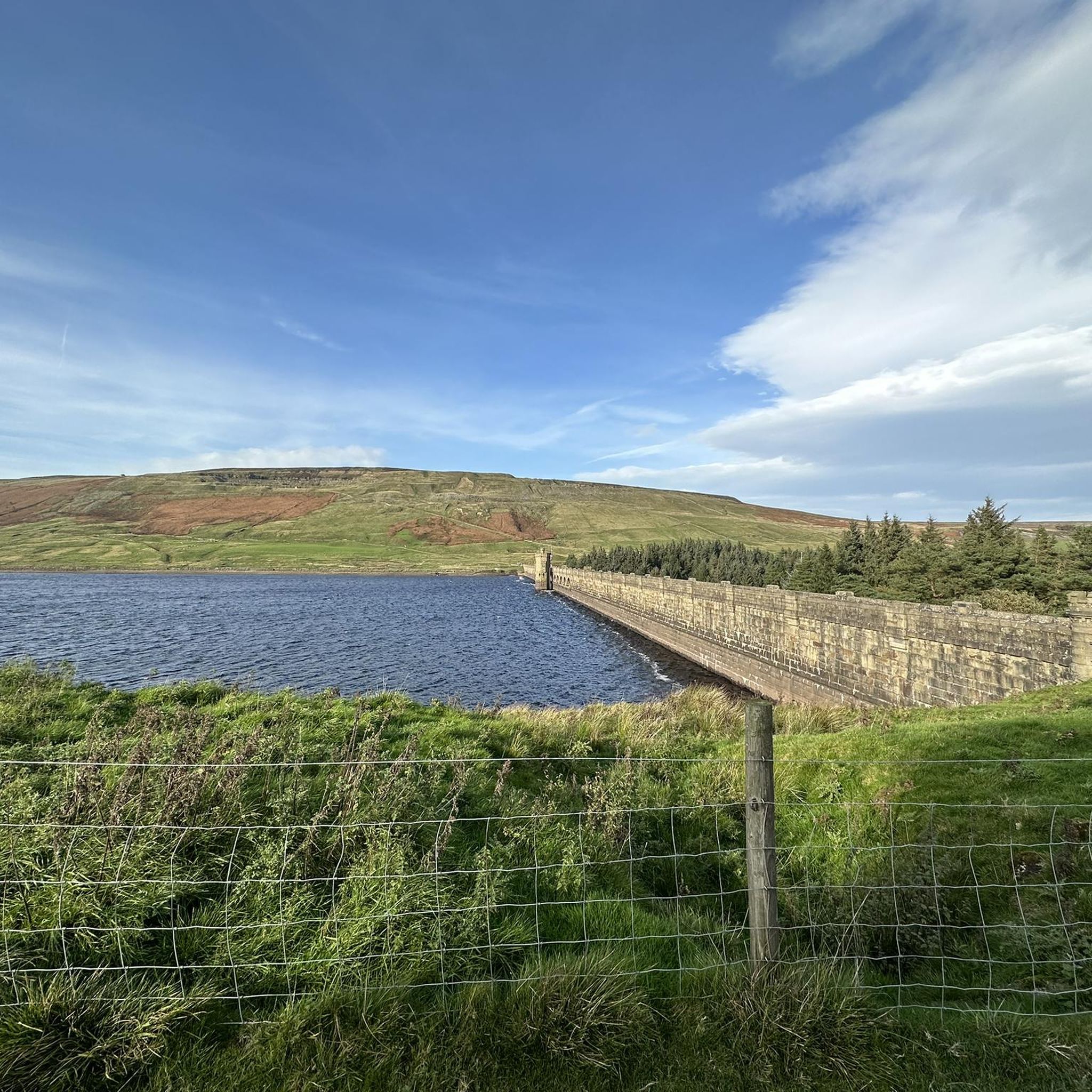
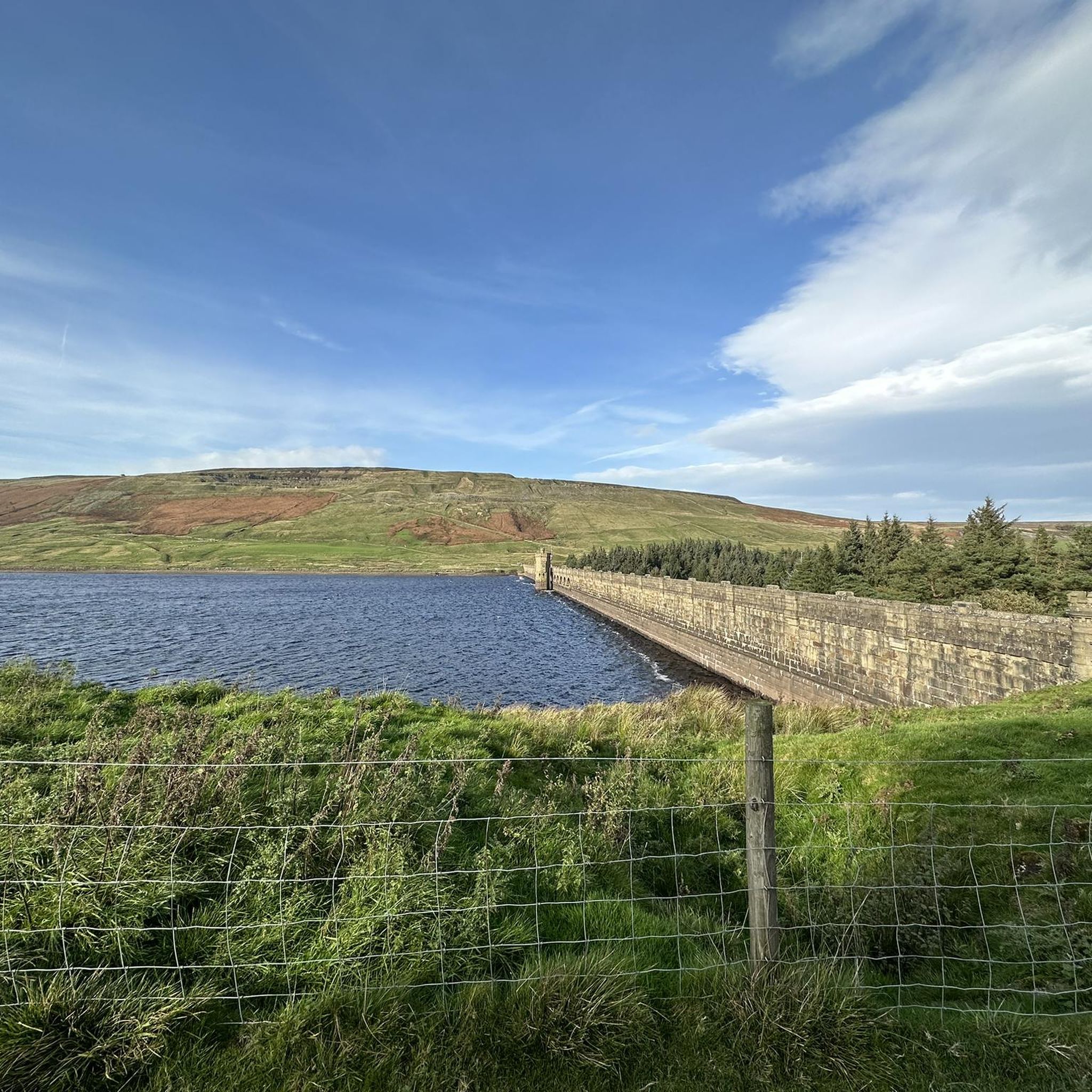
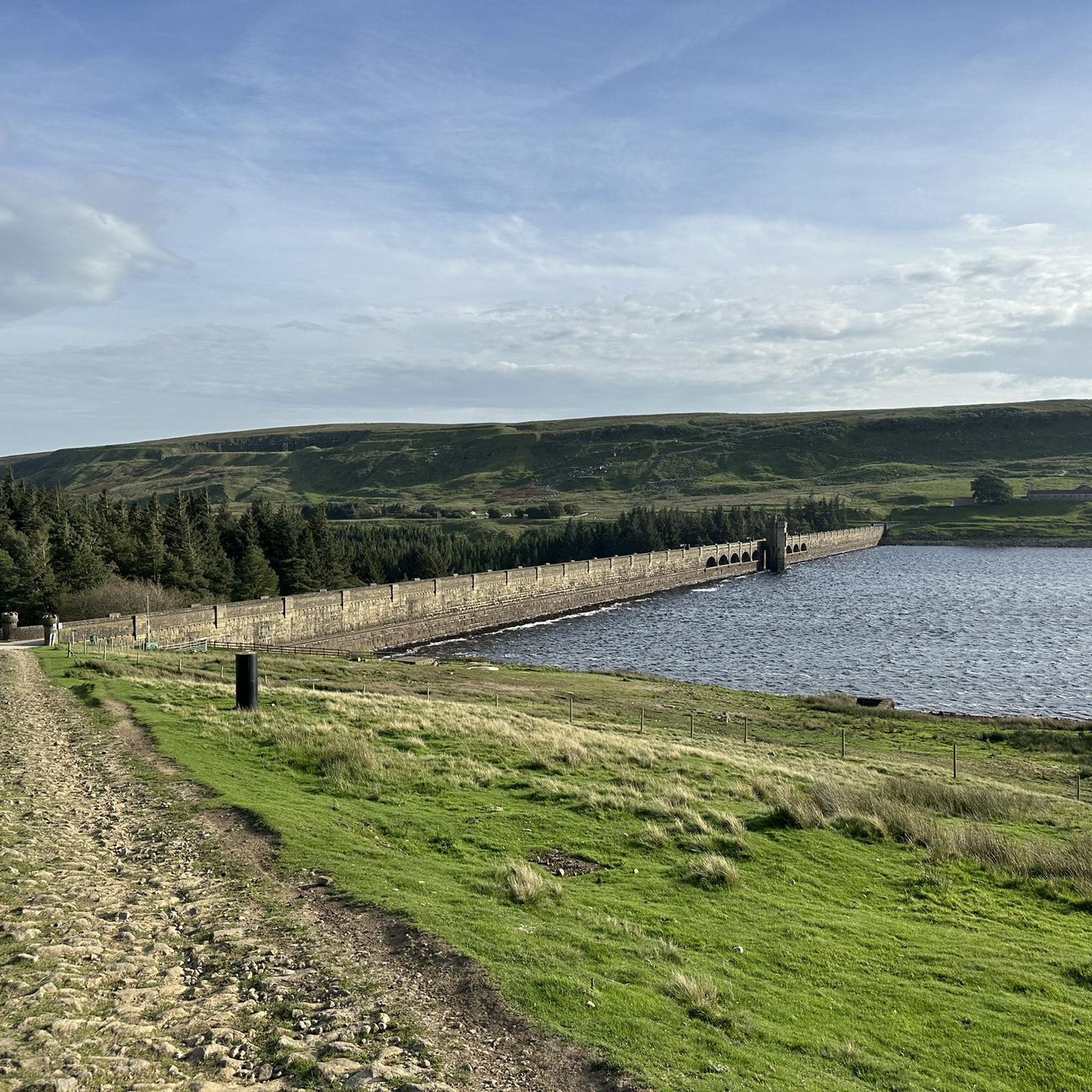
Road cycling routes around Scar House Reservoir are situated within the Nidderdale Area of Outstanding Natural Beauty, characterized by varied terrain and significant elevation changes. The region features well-surfaced paths around reservoirs and more challenging routes on higher ground. Road cyclists encounter moorland, historical dam structures, and sections of the dismantled Nidd Valley Light Railway trackbed. The landscape offers a mix of easy loops and routes with substantial climbs.
Best road cycling routes around Scar House Reservoir
- The most popular…
Last updated: July 9, 2026
13
riders
29.9km
01:48
400m
400m
Moderate road ride. Good fitness required. Mostly well-paved surfaces and easy to ride.
5.0
(5)
62
riders
42.1km
02:08
620m
610m
Moderate road ride. Good fitness required. Mostly well-paved surfaces and easy to ride.

Sign up for free
12
riders
40.3km
02:05
640m
640m
Moderate road ride. Good fitness required. Mostly well-paved surfaces and easy to ride.
5
riders
11.7km
00:48
200m
200m
Easy road ride. Great for any fitness level. Mostly well-paved surfaces and easy to ride.
4.5
(6)
582
riders
Moderate road ride. Good fitness required. Mostly well-paved surfaces and easy to ride.
Our route recommendations are based on thousands of hikes, rides, and runs completed by other people on komoot.
Start today with a free account
Your next adventure awaits.
Login or Signup
Tips from the Community

The Coldstones Cut and Toft Gate Lime Kiln are two contrasting historical and cultural attractions located together on Greenhow Hill in Nidderdale.
0
0
The southern end of the Ilkley Old Bridge is highly famous as the official starting point of the Dales Way.
0
0


pace yourself !!!
0
0

Quintessentially pretty market town, arrive early to find suitable parking, best place is next to the showground on the southern side of the bridge over the River Nidd. Honesty box only (no payment cards), cheap at £1 up to 4 hours and £2 all day (spring 2025 prices). The southern end of Nidderdale around Pateley Bridge has one of the densest concentrations of public footpaths in North Yorkshire, so loads of routeing options. See the North Yorks public rights of way map at https://maps.northyorks.gov.uk/connect/analyst/mobile/#/main?mapcfg=Out_and_About
1
0

The bridge carries Hanghow Lane over the River Cover. It is built of stone and consists of a single chamfered pointed arch, which is 50 feet (15 m) wide, while the bridge is 12 feet (3.7 m) from side to side
1
0

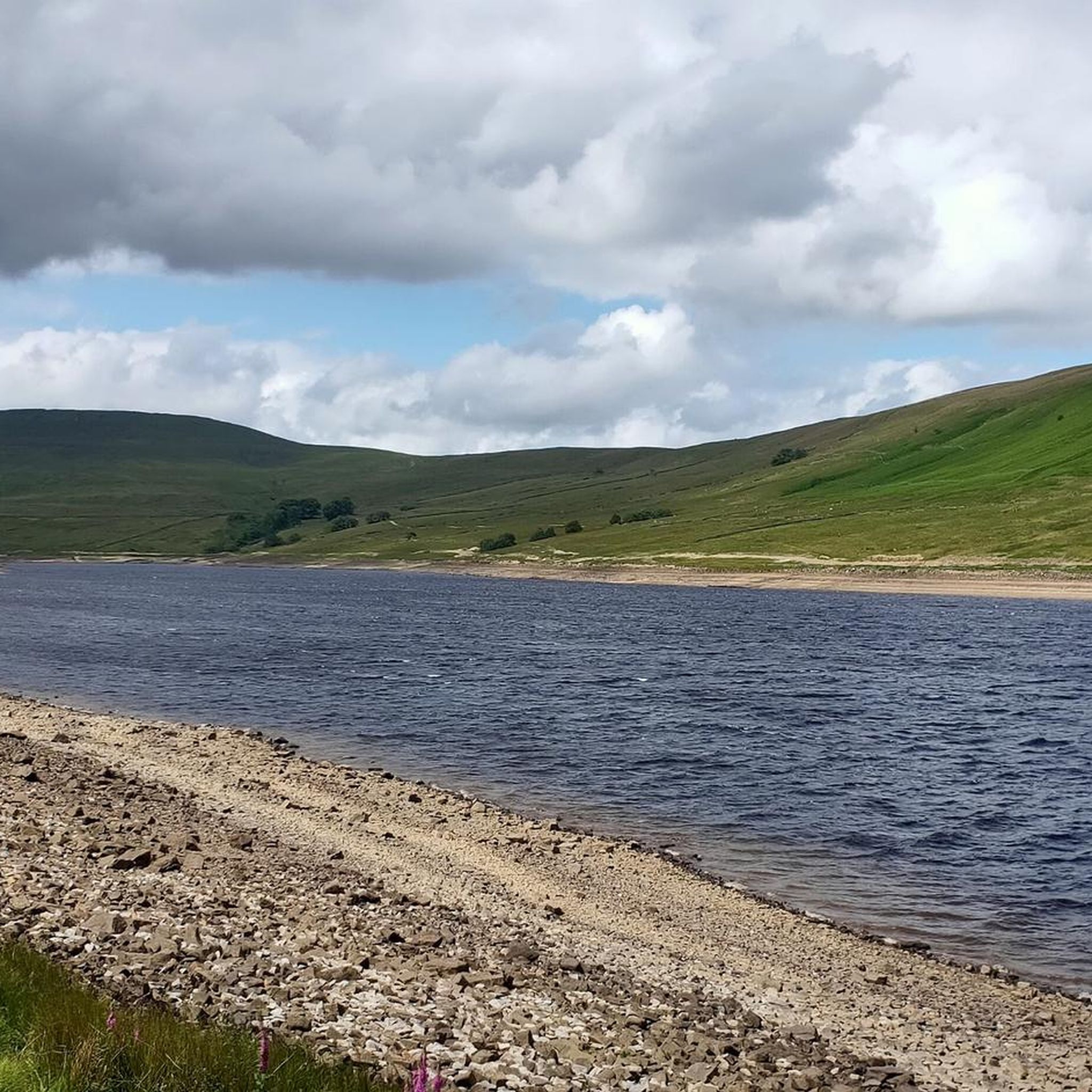
This is a beautiful road to cycle down that follows the entire length of the reservoir. It's surrounded by rolling hills and farmland and provides great views of the Nidderdale Valley.
1
0

The road between Barden and Burnsall on the B6160 is pretty gorgeous with typical Yorkshire scenery. The views out towards Appletreewick and the river Wharfe are pretty pleasing to the eye and are just a reminder as to how beautiful Yorkshire is. No wonder this county has produced so many noted cyclists at world level.
1
0
Frequently Asked Questions
What is the general difficulty level of road cycling routes around Scar House Reservoir?
The road cycling routes in the Scar House Reservoir area offer a mix of challenges. While some routes feature well-surfaced paths suitable for various skill levels, others include significant elevation changes and varied terrain, requiring good fitness. Most routes listed are rated as 'moderate', with some easier options available.
Are there any family-friendly road cycling routes near Scar House Reservoir?
Yes, the area offers routes suitable for families. The well-surfaced paths directly around Scar House Reservoir are ideal for leisurely rides. For a specific route, consider the easy Coverdale Road – Coverdale Valley loop from Coverham with Agglethorpe, which is 7.3 miles (11.7 km) long.
What kind of elevation gain can I expect on road cycling routes in this region?
Road cycling routes around Scar House Reservoir feature varied elevation gains, reflecting the region's diverse terrain. For example, the Pateley Bridge – Scar House Reservoir and Dam loop from Lofthouse includes over 2,000 feet (616 meters) of ascent, while the Gouthwaite Reservoir – Pateley Bridge loop from Lofthouse has a similar elevation gain of over 2,100 feet (646 meters). Longer routes can have even more substantial climbs.
Are there circular road cycling routes available around Scar House Reservoir?
Yes, many of the road cycling routes in the area are circular, allowing you to start and finish at the same point. For instance, the popular Pateley Bridge – Scar House Reservoir and Dam loop from Lofthouse is a circular route exploring the wider area, including the impressive Scar House Dam.
What notable landmarks or attractions can I see while road cycling near Scar House Reservoir?
The region is rich in natural beauty and historical features. You can cycle past the impressive Scar House Dam, a vast masonry structure, and explore parts of the Nidderdale Area of Outstanding Natural Beauty with its expansive moorland. Evidence of 'Scar Village,' a temporary settlement for dam workers, and sections of the dismantled Nidd Valley Light Railway trackbed are also visible along some routes.
What do other road cyclists say about the routes around Scar House Reservoir?
The road cycling routes around Scar House Reservoir are highly rated by the komoot community, with an average score of 4.9 stars from over 17 reviews. Cyclists often praise the varied terrain, stunning landscapes, and the sense of peace and solitude found in the area.
Is there parking available for road cyclists at Scar House Reservoir?
Yes, parking is available at Scar House Reservoir. The car park there is also notable for being designated a Dark Sky Discovery Site, offering excellent views of the night sky.
What is the best time of year for road cycling around Scar House Reservoir?
The area offers beautiful cycling opportunities throughout much of the year. Spring and summer provide milder weather and longer daylight hours, ideal for exploring the moorlands and reservoirs. Autumn brings vibrant colors to the landscape. While winter cycling is possible, conditions can be more challenging due to colder temperatures and potential for ice or snow on higher ground.
Are there any cafes or pubs near the road cycling routes for refreshments?
While Scar House Reservoir itself is known for its peace and solitude, you can find cafes and pubs in nearby villages. For example, the Back Road to Bolton Abbey – Bolton Priory Ruins loop from Kettlewell with Starbotton passes through areas where refreshments might be available.
Can I reach Scar House Reservoir by public transport for cycling?
Public transport options directly to Scar House Reservoir are limited due to its remote location within the Nidderdale Area of Outstanding Natural Beauty. It is generally more accessible by car, with parking available at the reservoir. Cyclists often drive to a starting point and then embark on their rides.
How long is the longest road cycling route listed in the area?
The longest road cycling route listed is the Back Road to Bolton Abbey – Bolton Priory Ruins loop from Kettlewell with Starbotton, which spans 45.9 miles (73.9 km) and typically takes over 3 hours and 45 minutes to complete.
Most popular routes around Scar House Reservoir

Get inspired with the komoot mobile app


Explore more
Browse the best Road cycling routes in other regions.
