Gouthwaite Reservoir
Gouthwaite Reservoir
The best walks and hikes around Gouthwaite Reservoir
4.5
(757)
5,123
hikers
159
hikes
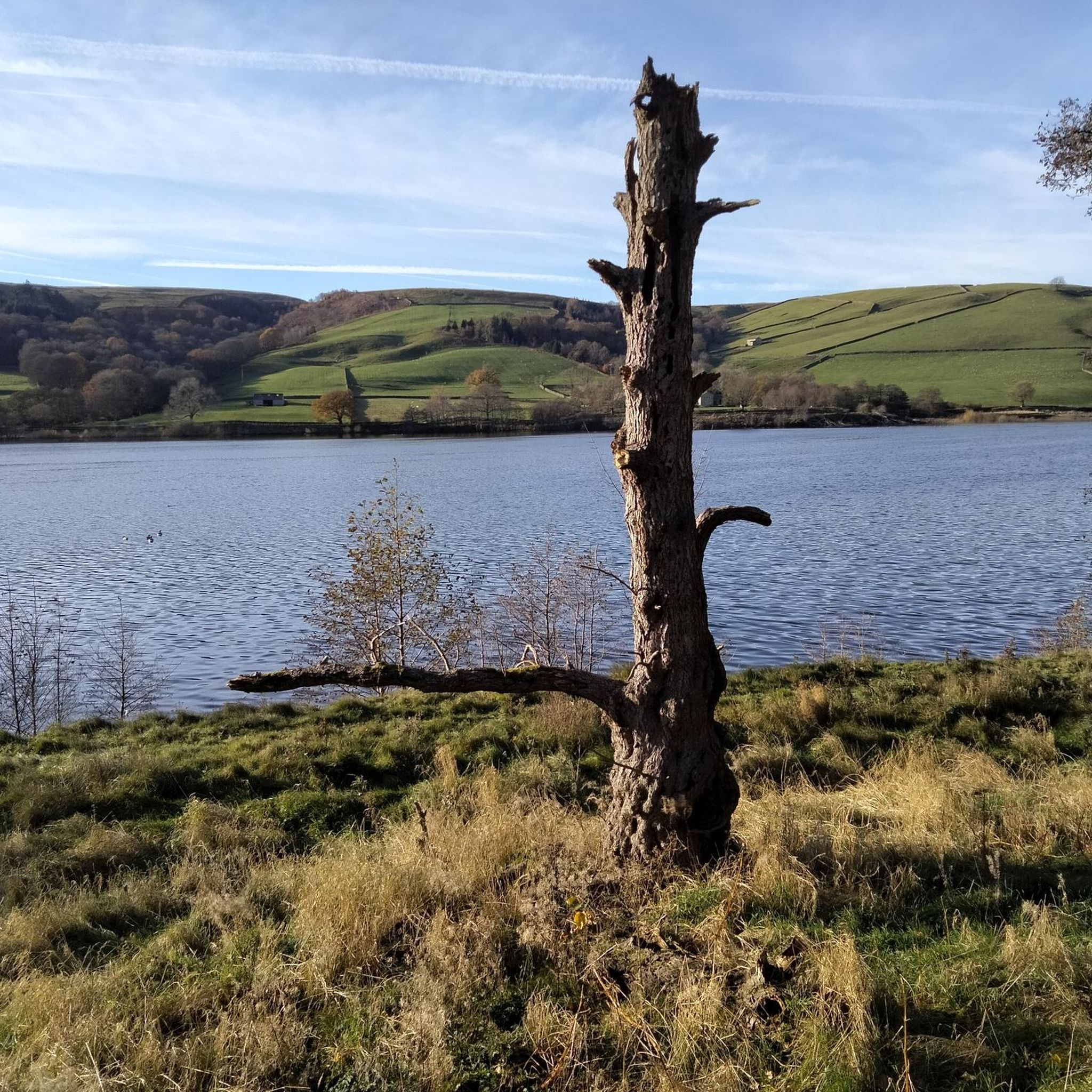
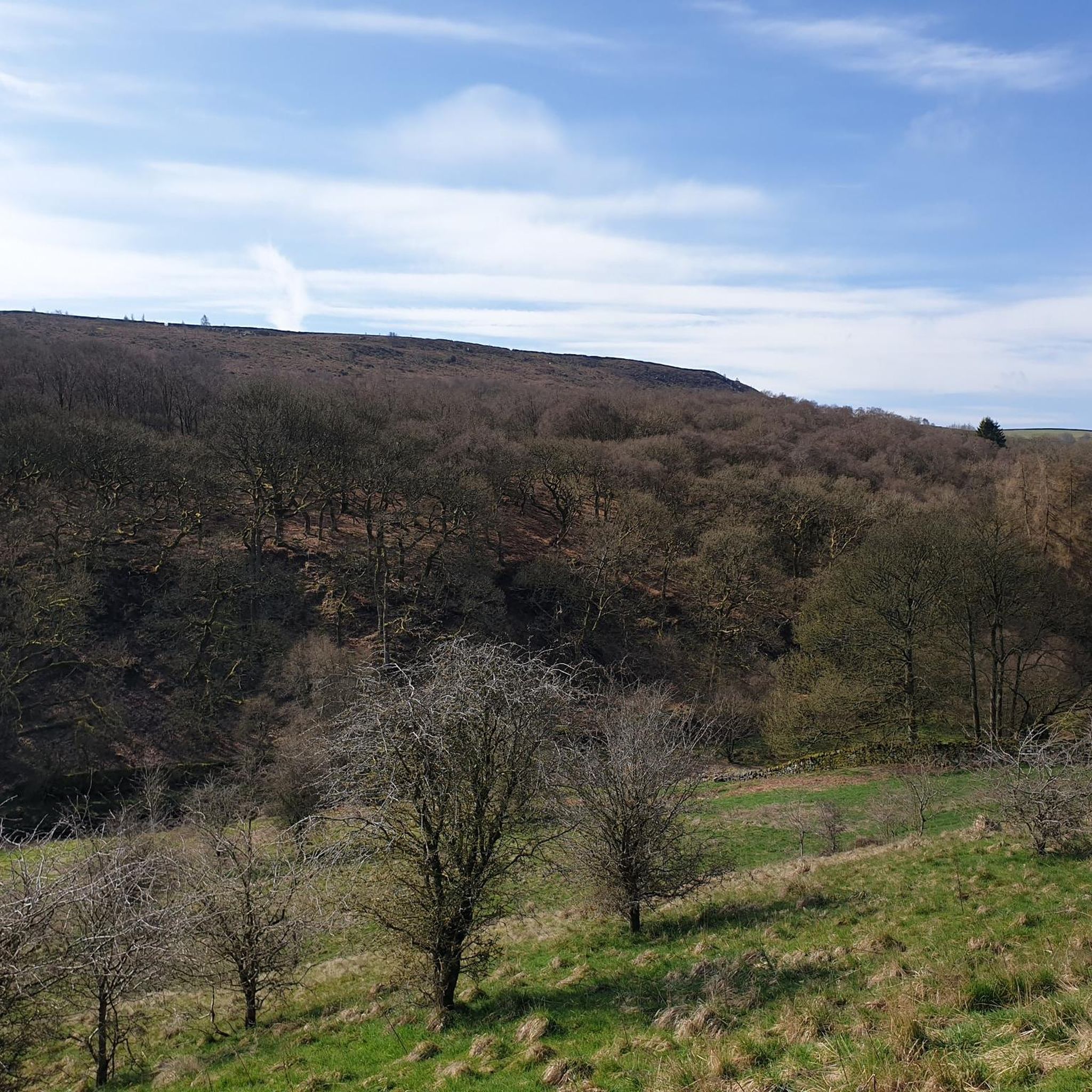
Hikes around Gouthwaite Reservoir explore a designated nature reserve within the Nidderdale National Landscape. The area is defined by the reservoir itself, the River Nidd which feeds it, and the surrounding pastoral hills and woodlands. Trails follow the shoreline, cross open fields, and connect to the nearby market town of Pateley Bridge, offering varied terrain for walkers.
Best hiking trails around Gouthwaite Reservoir
- The most popular hiking route is Ramsgill Village Green – Gouthwaite Reservoir loop from Wath, a 6.0 mile (9.6 km) trail that takes about 2 hours 30 minutes to complete. This is a largely flat route that follows the reservoir shoreline.
- Another top favourite among local hiking enthusiasts is Ramsgill Village Green – How Stean Gorge loop from Lofthouse, a moderate 6.7 mile (10.8 km) path. The route involves some elevation gain as it passes through the local landscape.
- Local hiking enthusiasts also love the Ramsgill Village Green – View of Helks Wood Valley loop from Fountains Earth, a 9.0 mile (14.5 km) trail leading through the valley, often completed in about 4 hours 10 minutes.
- Hiking around Gouthwaite Reservoir is defined by waterside paths, rolling pastoral hills, and sections of the long-distance Nidderdale Way. The network of trails provides options for both gentle walks and more moderate hikes with some climbing.
- The routes in Gouthwaite Reservoir are highly rated by the komoot community with an average score of 4.4 stars from over 650 reviews. More than 4,800 hikers have used komoot to explore Gouthwaite Reservoir's varied terrain.
Last updated: July 7, 2026
4.0
(1)
6
hikers
25.9km
07:15
500m
500m
Hard hike. Very good fitness required. Easily-accessible paths. Suitable for all skill levels.
27.9km
07:53
590m
590m
Hard hike. Very good fitness required. Mostly accessible paths. Sure-footedness required.

Sign up for free
4.8
(16)
61
hikers
10.7km
03:02
220m
220m
Moderate hike. Good fitness required. Easily-accessible paths. Suitable for all skill levels.
4.2
(5)
27
hikers
Moderate hike. Good fitness required. Easily-accessible paths. Suitable for all skill levels.
4.5
(6)
25
hikers
17.3km
04:44
270m
270m
Moderate hike. Good fitness required. Easily-accessible paths. Suitable for all skill levels.
Get access to more routes and recommendations from other explorers.
Sign up for free
Already have an account?
Our route recommendations are based on thousands of hikes, rides, and runs completed by other people on komoot.
Start today with a free account
Your next adventure awaits.
Login or Signup

Tips from the Community

A victory memorial, not a roll of honour, hence it lists key WW1 dates and not names. It was originally a drinking fountain and was repurposed as a memorial in 1920.
0
0
Very nice place for a pit-stop. The little waterfall created by the drop in the beck bed is unusual, most fords on the Nidderdale moors are flat and featureless crossings.
0
0
This bridge appears on the 1890s OS 25‑inch maps as a crossing point, but is not named, so the bridge likely predates the modern estate track and was built when the moor was reorganised for shooting in the early 20th century.
0
0

One side of the reservoir is road, the other is a fantastic bridleway
0
0

This is a beautiful road to cycle down that follows the entire length of the reservoir. It's surrounded by rolling hills and farmland and provides great views of the Nidderdale Valley.
1
0

Beautiful spot, with plenty of birds and other wildlife to see. A parking and picnic area is next to the road with a viewing platform.
0
0

The village is located in Upper Nidderdale, North Yorkshire. It is a quiet place that is surrounded by beautiful countryside.
0
0
Frequently Asked Questions
How many hiking trails are there around Gouthwaite Reservoir?
There are over 160 hiking routes to explore in the Gouthwaite Reservoir area. These range from easy, family-friendly strolls along the water to more challenging climbs into the surrounding hills of the Nidderdale National Landscape.
Are the walks around Gouthwaite Reservoir suitable for dogs?
Yes, dogs are generally welcome on the trails. However, Gouthwaite Reservoir is a designated nature reserve with sensitive wildlife and livestock in adjacent fields. Always keep your dog on a lead, especially during bird nesting season (spring and early summer), and be sure to clean up after them.
What are the parking options for hiking at Gouthwaite Reservoir?
There is a car park available at the southern end of the reservoir, near the dam, which is a popular starting point for many walks. Additional parking can be found in nearby villages like Ramsgill and Lofthouse, but these can be limited. It's advisable to arrive early, especially on weekends.
Are there any easy, flat walks suitable for families with children?
Yes, the area offers gentle walks perfect for families. The paths along the reservoir's shoreline are largely flat and provide great opportunities for spotting birds and enjoying the scenery. A good option is to walk a section of the Nidderdale Way along the eastern bank.
What is the terrain like on the trails? Should I expect mud or stiles?
The terrain varies. While some paths along the reservoir are well-maintained, many routes cross pastoral fields and can become muddy, particularly after rain. You should also expect to encounter stiles and gates on most circular walks that venture away from the main reservoir path. Waterproof hiking boots are recommended.
Are there any pubs or cafes for a meal after a hike?
The nearby market town of Pateley Bridge has a good selection of pubs, cafes, and bakeries. For something right near the trails in the upper dale, How Stean Gorge is a popular attraction that also has facilities for visitors.
Is Gouthwaite Reservoir a good place for birdwatching?
Absolutely. The reservoir is a designated Site of Special Scientific Interest (SSSI) and a haven for birdwatchers. You can expect to see a wide variety of waterfowl, and the surrounding area is home to birds of prey like red kites and buzzards. There is a dedicated viewing platform to help you get the best sightings.
Can I access the Nidderdale Way from the reservoir?
Yes, the Nidderdale Way, a long-distance footpath, runs directly along the eastern side of Gouthwaite Reservoir. You can easily join the trail for a short waterside walk or incorporate a longer section into a more extensive hike through the National Landscape.
Are there any challenging hikes with significant elevation?
For a more strenuous hike with rewarding views, consider the Carlesmoor Beck and Combs Crags loop from Ramsgill. This long-distance route takes you up onto the moors above the reservoir, offering a significant climb and panoramic vistas across Nidderdale.
What do other hikers think of the trails around Gouthwaite Reservoir?
The area is highly regarded by the komoot community, with an average rating of 4.4 stars. Reviewers frequently praise the stunning waterside scenery, the abundant wildlife, and the peaceful atmosphere of the trails.
Are there any wheelchair-accessible or easy-access trails?
While the area offers gentle walks, many trails include stiles, uneven surfaces, and muddy sections that make them unsuitable for most wheelchairs and pushchairs. The most accessible option is the path from the main car park along the dam wall, which is relatively flat and surfaced.
How does Gouthwaite Reservoir compare to other nearby reservoirs like Scar House?
Gouthwaite is known for its rich birdlife and softer, pastoral landscapes with trails that are generally less remote. Scar House Reservoir, further up the dale, offers a more rugged and wild landscape with dramatic moorland scenery. The choice depends on whether you prefer a wildlife-focused walk in a gentler setting or a more challenging hike in a wilder environment.
Most popular routes around Gouthwaite Reservoir

Get inspired with the komoot mobile app


Explore more
Browse the best Hikes in other regions.
