The best walks and hikes around Dietersburg
4.5
(1780)
7,176
hikers
32
hikes
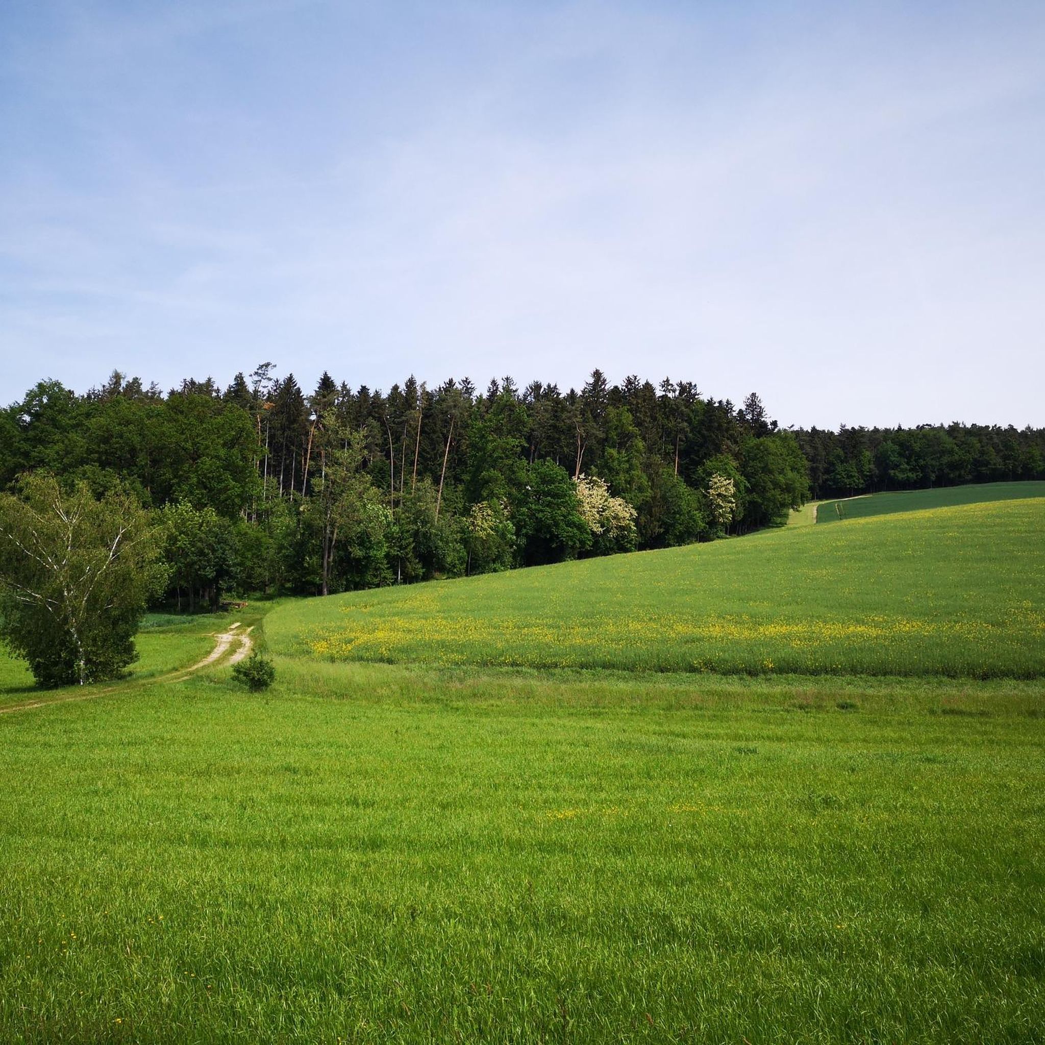
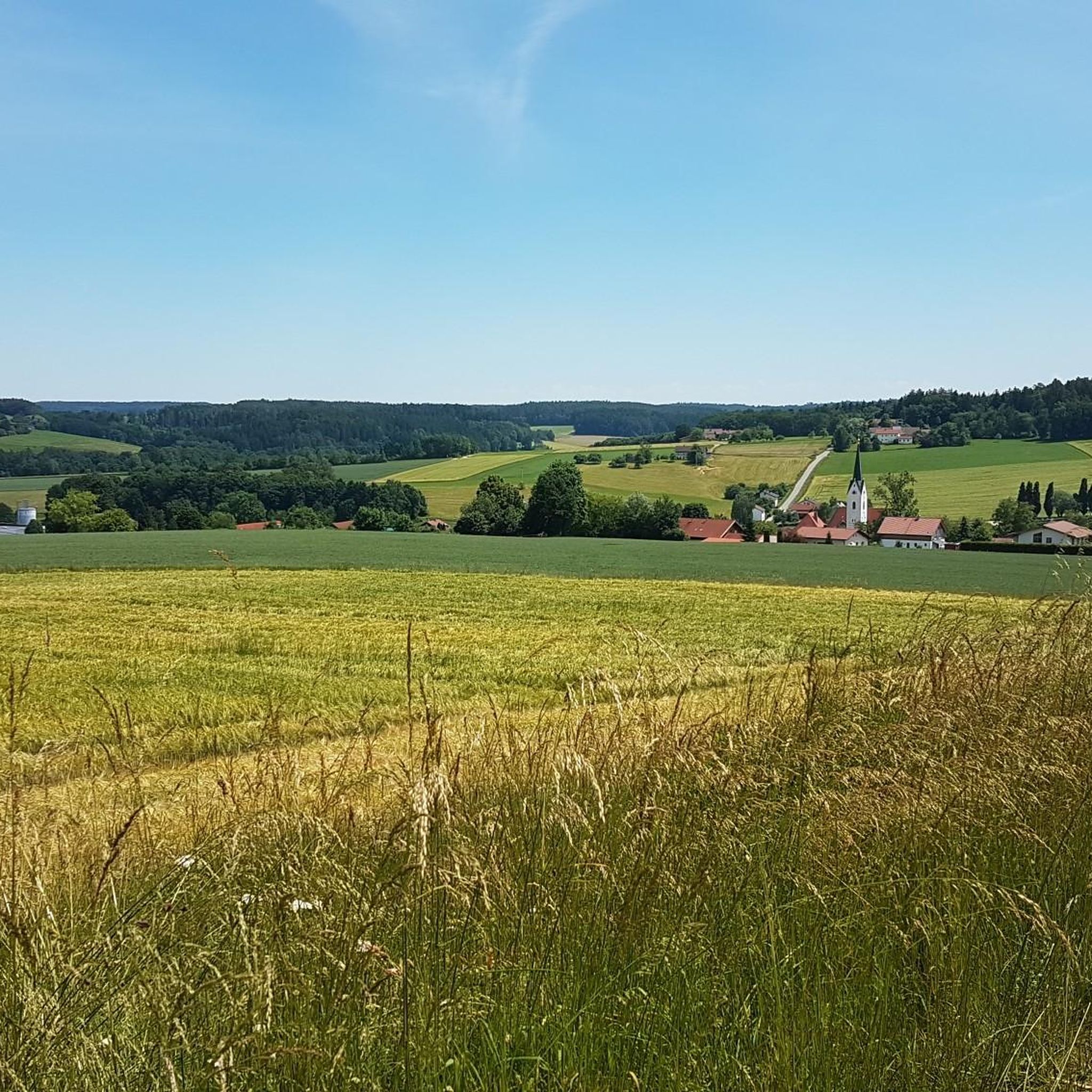
Hiking trails around Dietersburg traverse the scenic Lower Bavarian countryside, characterized by rolling hills and open fields. The region offers varied landscapes, from accessible paths to more challenging routes. Hikers can expect expansive views and diverse terrain. Natural features include the "Crocodile Rock," a distinctive quartz conglomerate block, and the nearby Lake Rottauensee.
Best hiking trails around Dietersburg
- The most popular hiking route is View of Schönau – Schönau Water Castle loop from Wald b. Nöham, a 7.3 miles…
Last updated: July 4, 2026
5.0
(1)
11
hikers
11.7km
03:08
140m
140m
Moderate hike. Good fitness required. Easily-accessible paths. Suitable for all skill levels.
3.0
(1)
3
hikers
7.85km
02:09
120m
120m
Moderate hike. Good fitness required. Easily-accessible paths. Suitable for all skill levels.

Sign up for free
5.0
(4)
7
hikers
6.79km
01:53
120m
120m
Easy hike. Great for any fitness level. Easily-accessible paths. Suitable for all skill levels.
5.0
(1)
3
hikers
9.14km
02:28
120m
120m
Moderate hike. Good fitness required. Easily-accessible paths. Suitable for all skill levels.
5.0
(2)
2
hikers
9.53km
02:38
160m
160m
Moderate hike. Good fitness required. Easily-accessible paths. Suitable for all skill levels.
Get access to more routes and recommendations from other explorers.
Sign up for free
Already have an account?
Our route recommendations are based on thousands of hikes, rides, and runs completed by other people on komoot.
Start today with a free account
Your next adventure awaits.
Login or Signup

Tips from the Community


Large parking lot on the outskirts of the village, good starting point
0
0
Absolutely quiet in the countryside. On the edge of the forest and with a great view!
1
0

Super nice area I'll be back no question ☺️ 😉
11
0

my tour was very nice and worth seeing
2
0

The “Schlossparty” takes place regularly in Schloss Baumgarten.
3
0

“Each of these crosses can tell its own story and what motivated people to erect“ their ”cross at this point. (...) These crossroads were erected as visible signs and attract the eyes of many people. The cross is a symbol of life. It stands as a sign of our Christian hope and wants to direct our gaze to Jesus Christ, who overcame death (...). The cross is part of our life, just as it was part of the life of Jesus. So I hope that many people ... visit the crossroads, whether as places of silence and breathing before God, whether as places of congregation meeting, prayer and praise of God. " (Text source: Dean Rainald M. Ollig in: “Crossroads. Small sacred monuments as a sign of popular piety ")
2
3

A really nice spot here!
0
0
Frequently Asked Questions
How many hiking trails are available around Dietersburg?
There are over 30 hiking trails around Dietersburg, offering a variety of experiences for different fitness levels. You'll find a good mix of easy and moderate routes to explore the Lower Bavarian countryside.
Are there easy hiking trails suitable for beginners or families in Dietersburg?
Yes, Dietersburg offers several easy trails perfect for beginners or families. One such option is the Small Roadside Chapel – Chapel Near Epertshofen loop from Dietersburg, which is about 4.2 miles (6.8 km) long and takes less than two hours to complete, leading through pleasant countryside.
What kind of landscapes can I expect to see while hiking in Dietersburg?
The region around Dietersburg is characterized by pleasant rolling hills and open fields, offering expansive views of the Lower Bavarian countryside. You'll traverse diverse terrain, from easily accessible paths to more challenging routes, all set amidst picturesque natural surroundings.
Are there any unique natural landmarks or attractions to see on the trails?
Yes, a distinctive natural monument in the vicinity is the Crocodile Rock, a quartz conglomerate block that resembles a crocodile when viewed from the southeast. While not a hiking destination itself, it's a unique feature of the landscape that can be appreciated during your outdoor excursions.
Can I find hiking routes that include historical sites or castles?
Absolutely. Some hiking routes incorporate historical sites. For example, the Parking at the tennis court – Schloss Baumgarten loop from Peterskirchen is a moderate hike that includes Schloss Baumgarten. Another option is the Baumgarten Castle – Chapel in Matzing loop from Baumgarten, which also features the castle.
What do other hikers enjoy most about the trails in Dietersburg?
The trails in Dietersburg are highly rated by the komoot community, with an average score of 4.6 stars from over 1,600 reviews. Hikers often praise the varied terrain, the scenic views of the Lower Bavarian countryside, and the combination of accessible paths with interesting points of interest like historic castles.
Are there any trails that offer scenic viewpoints?
Many routes in Dietersburg offer expansive views of the Lower Bavarian countryside due to the region's rolling hills and open fields. For a route specifically highlighting views, consider the View of Schönau – Schönau Water Castle loop from Wald b. Nöham, which features scenic vistas of Schönau.
Are there any circular hiking routes in Dietersburg?
Yes, many of the trails around Dietersburg are designed as circular routes, allowing you to start and end at the same point. Examples include the Communication Tower – Hunting Hide loop from Lindberg and the Small Roadside Chapel – Chapel Near Epertshofen loop from Dietersburg.
Are there any lakes or water features accessible from the hiking trails?
While not directly on all hiking trails, the nearby Lake Rottauensee provides additional recreational opportunities, with banks that are largely walkable and navigable. You can find highlights like a dog-friendly beach and picnic area and the Ascending Sea Gods sculpture there.
What is the best time of year to go hiking in Dietersburg?
Dietersburg's rolling hills and open fields make it enjoyable for hiking throughout the warmer months, from spring to autumn, when the landscape is green and views are clear. While specific winter hiking conditions can vary, the accessible paths generally allow for year-round exploration, weather permitting.
Are there options for parking near the trailheads?
Yes, many trailheads in and around Dietersburg offer convenient parking options. For instance, the route Parking at the tennis court – Schloss Baumgarten loop from Peterskirchen indicates a starting point with parking availability.
Most popular routes around Dietersburg
Most popular attractions around Dietersburg

Get inspired with the komoot mobile app


Explore more
Browse the best Hikes in other regions.
