The best walks and hikes around Strines Reservoir
4.6
(9689)
62,884
hikers
614
hikes
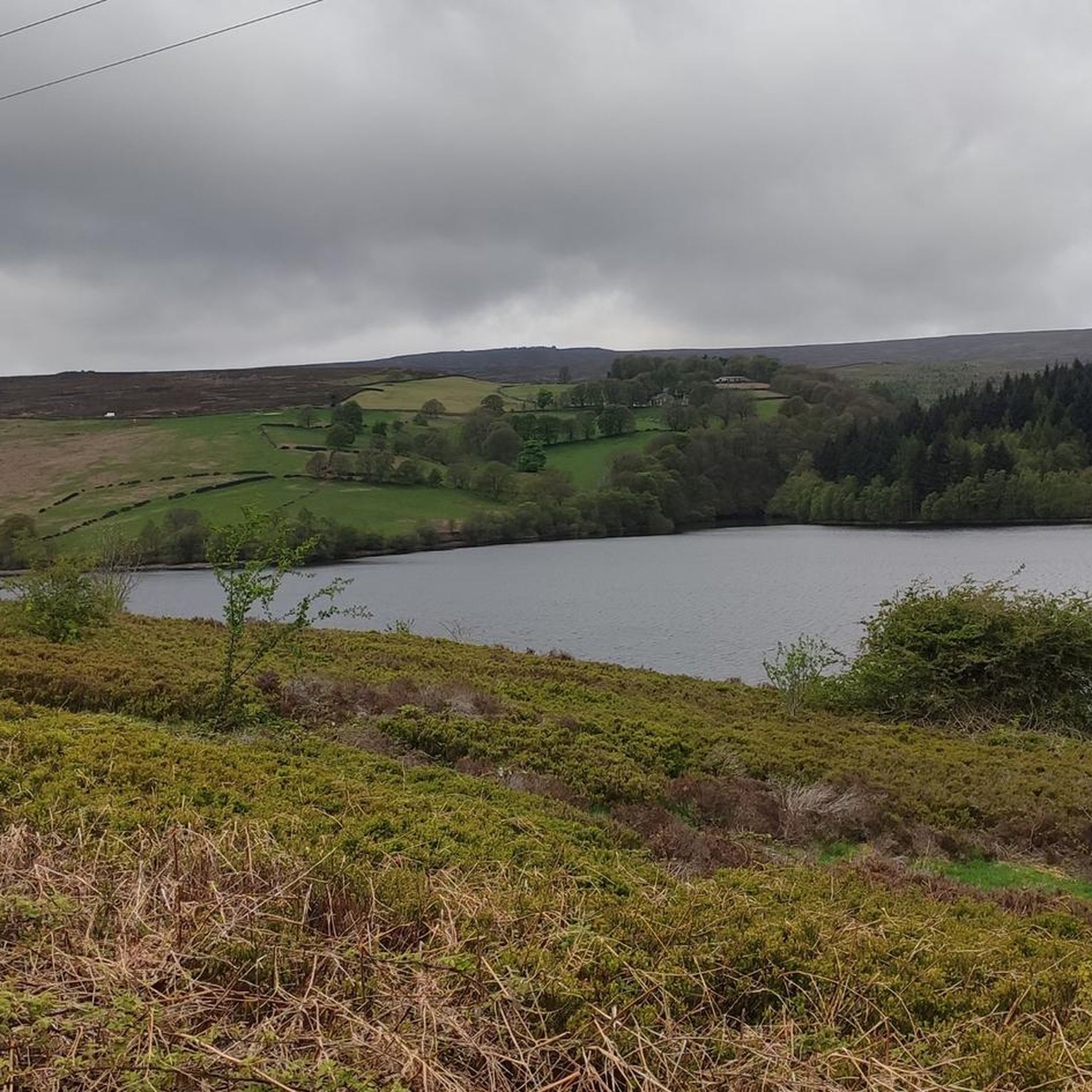
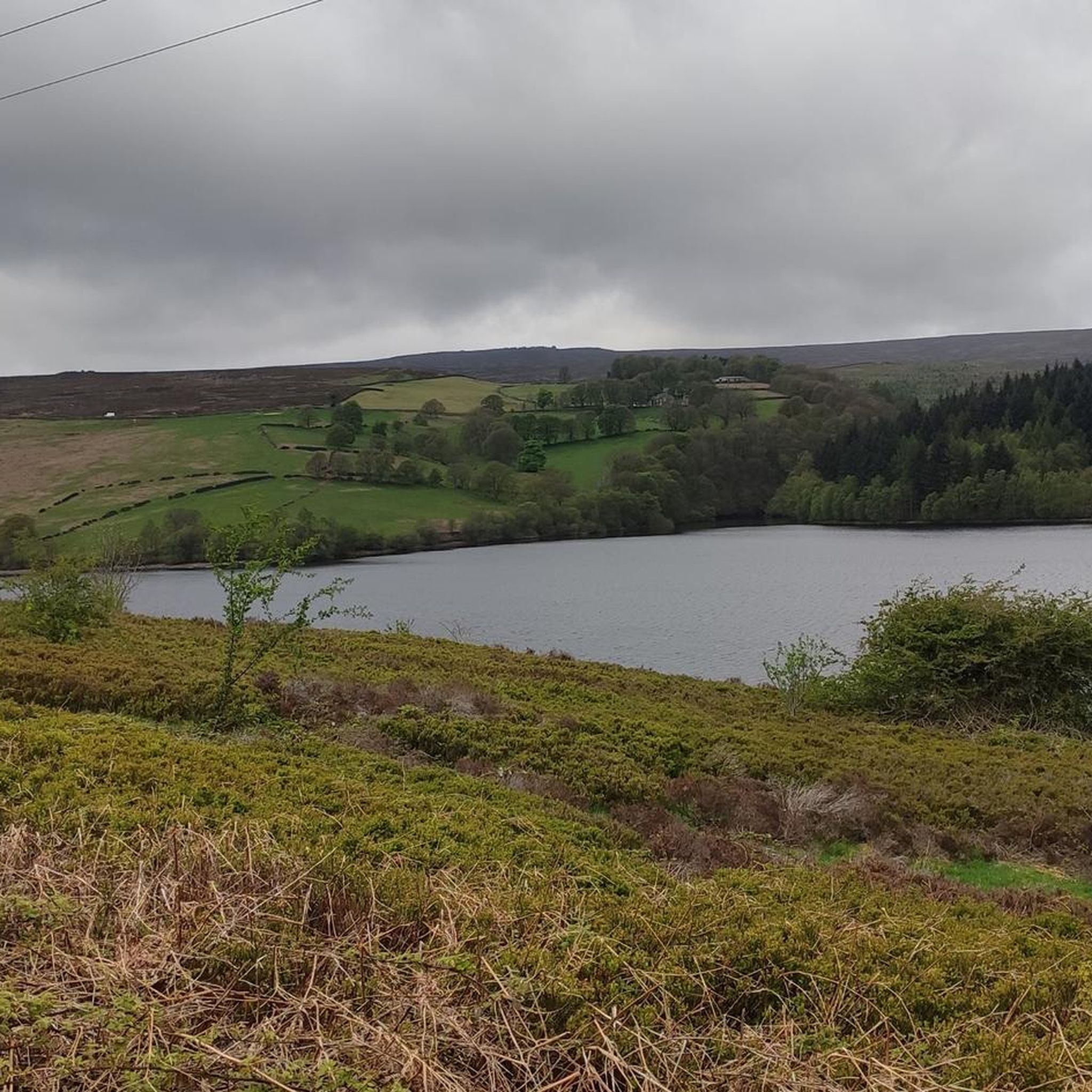
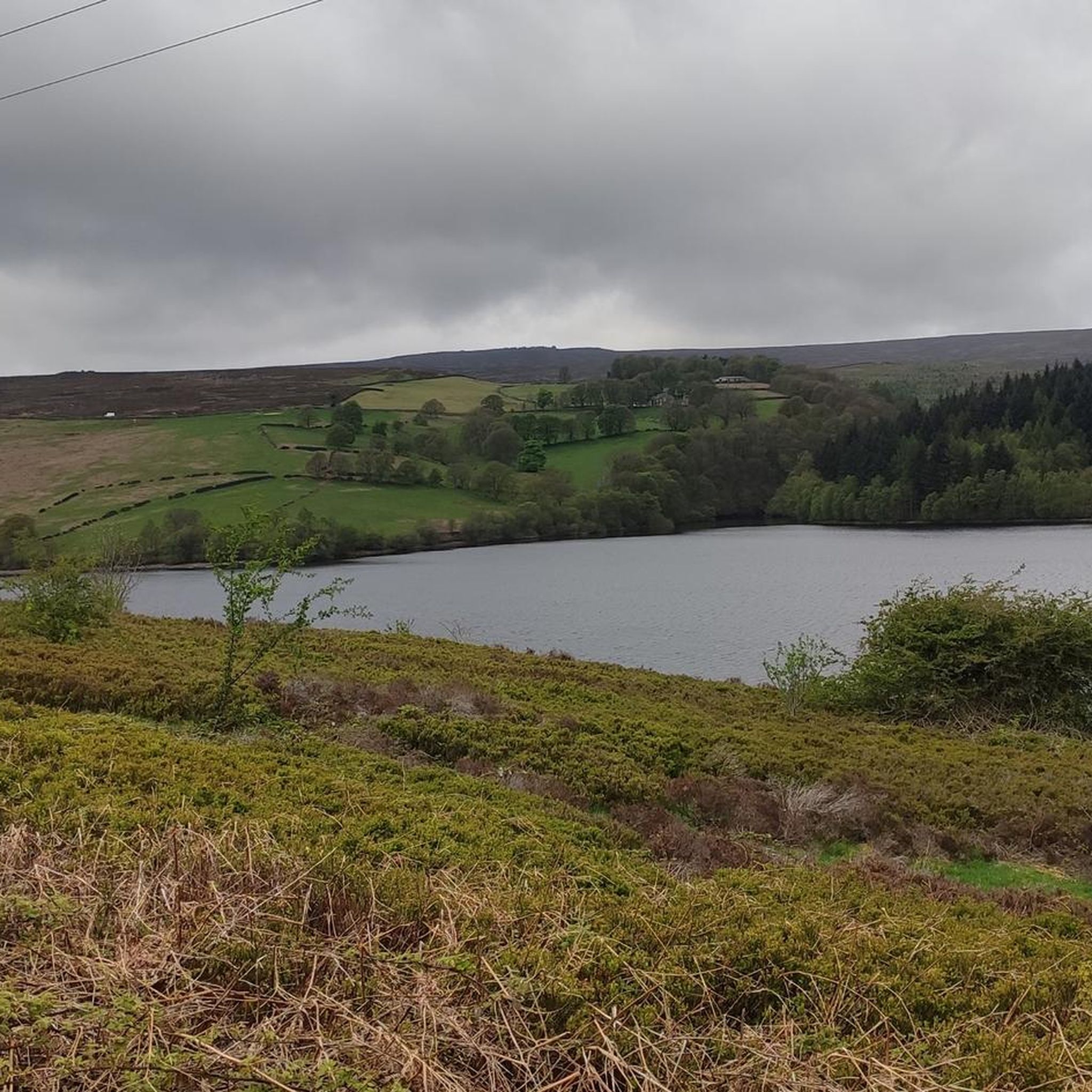
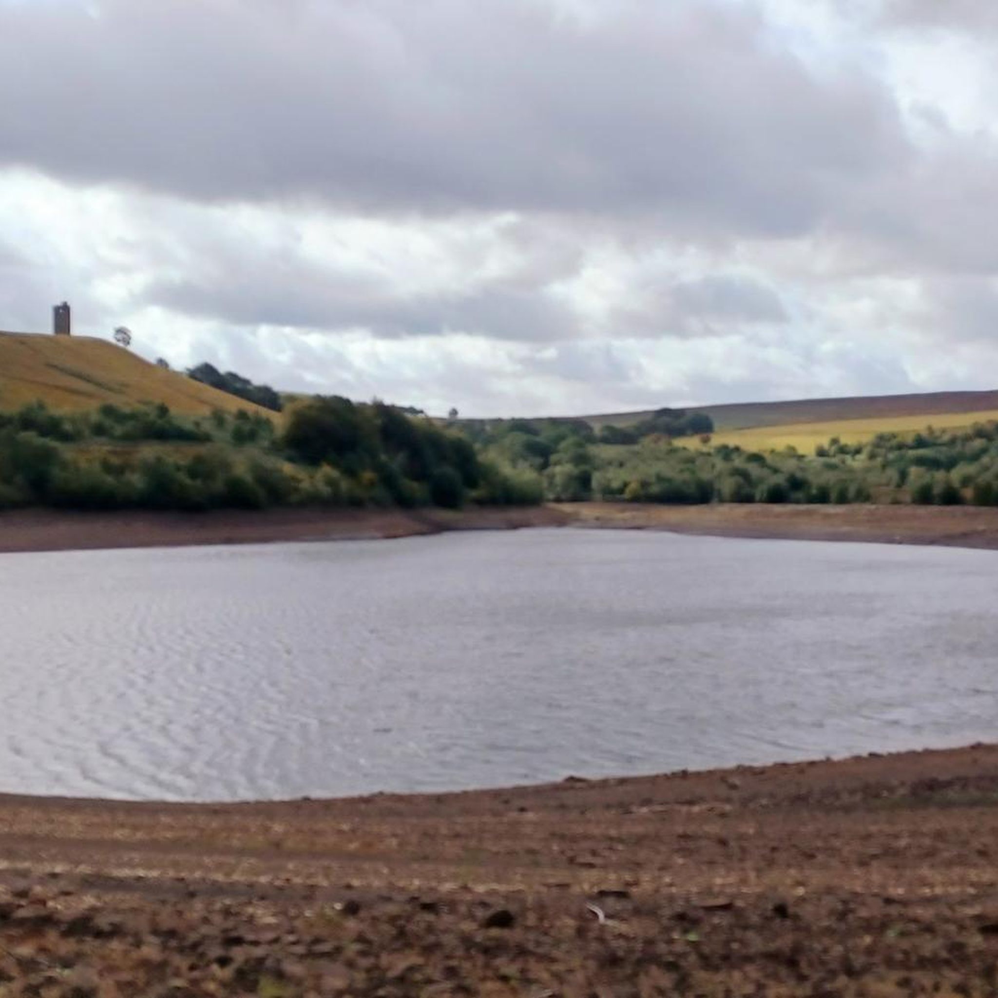
Hiking around Strines Reservoir offers diverse landscapes within South Yorkshire, England. The area is characterized by heather moorland, coniferous plantations, and ancient broad-leaved woodlands, all nestled within the scenic Bradfield Dale. Notable features include the elevated gritstone escarpment of Derwent Edge, providing varied terrain for outdoor pursuits. The region also encompasses a network of reservoirs, including Dale Dike and Agden, which are often integrated into longer routes.
Best hiking trails around Strines Reservoir
- The most popular hiking route is Derwent Edge Rock Formations – Derwent Edge loop from Hallfield, a 9.1 miles (14.7 km) moderate trail that takes 4 hours 14 minutes to complete, featuring impressive gritstone formations and expansive views.
- Another top favourite among local hikers is Dale Dike Reservoir – Strines Reservoir loop from Hallfield, an easy 3.5 miles (5.6 km) path. This route connects multiple reservoirs through scenic dale landscapes, offering a less strenuous option.
- Local hikers also love the Dale Dike Reservoir – Ughill Moor loop from Hallfield, a 6.8 miles (10.9 km) trail leading through varied moorland terrain, often completed in about 3 hours 10 minutes.
- Hiking around Strines Reservoir is defined by gritstone escarpments, heather moorland, and ancient woodlands. The network offers options for different ability levels, from easy strolls to more challenging hikes.
- The routes in Strines Reservoir are highly rated by the komoot community with an average score of 4.6 stars from over 8,400 reviews. More than 58,000 hikers have used komoot to explore Strines Reservoir's varied terrain.
Last updated: August 18, 2026
4.7
(17)
118
hikers
14.7km
04:15
380m
380m
Moderate hike. Good fitness required. Easily-accessible paths. Suitable for all skill levels.
4.8
(24)
186
hikers
5.55km
01:32
100m
100m
Easy hike. Great for any fitness level. Easily-accessible paths. Suitable for all skill levels.

Sign up for free
5.0
(7)
59
hikers
15.0km
04:23
400m
400m
Moderate hike. Good fitness required. Easily-accessible paths. Suitable for all skill levels.
5.0
(3)
19
hikers
6.17km
01:45
130m
130m
Easy hike. Great for any fitness level. Easily-accessible paths. Suitable for all skill levels.
4.8
(8)
4
hikers
6.48km
01:53
170m
180m
Easy hike. Great for any fitness level. Easily-accessible paths. Suitable for all skill levels.
Get access to more routes and recommendations from other explorers.
Sign up for free
Already have an account?
Our route recommendations are based on thousands of hikes, rides, and runs completed by other people on komoot.
Start today with a free account
Your next adventure awaits.
Login or Signup

Tips from the Community


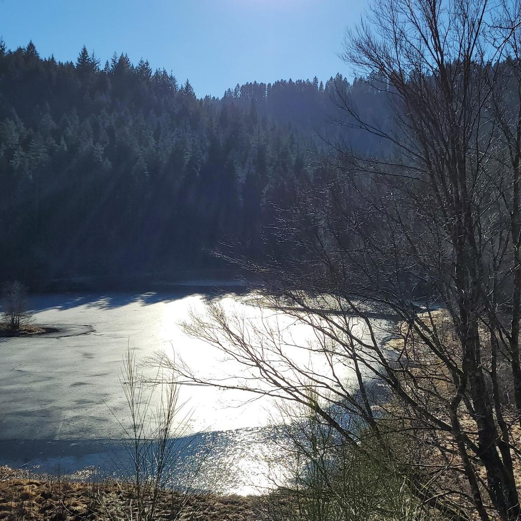
Impressive rock formation, well worth a visit
0
0

some options to try for different walks and views.
0
0
beautiful ikkle spot for a tea break and a picture.
0
0

Perfect sunrise and sunset spot. Great little easy-ish hike. Parking in lay-by.
0
0
Frequently Asked Questions
How many hiking trails are available around Strines Reservoir?
There are over 600 hiking routes to explore around Strines Reservoir, catering to a wide range of abilities and preferences. This includes a significant number of easy, moderate, and challenging options.
Are there easy hiking options suitable for a relaxed stroll?
Yes, Strines Reservoir offers nearly 300 easy hiking routes. A popular choice is the Dale Dike Reservoir – Strines Reservoir loop from Hallfield, an easy 5.6 km path that connects multiple reservoirs through scenic dale landscapes. Another gentle option is the Strines Reservoir loop from Hallfield, which is 6.2 km long.
What kind of challenging hikes can I find in the area?
For those seeking more strenuous options, there are over 60 difficult routes. A moderate, yet rewarding, hike is the Dale Dike Reservoir – Agden Bog Footbridge loop from Hallfield, covering 15 km with significant elevation changes. These trails often lead to elevated gritstone escarpments with expansive views.
Are there any circular walks around Strines Reservoir?
Many of the popular routes around Strines Reservoir are circular, allowing you to take in the reservoir and surrounding features without retracing your steps. For example, the Dale Dike Reservoir – Ughill Moor loop from Hallfield is a 10.9 km trail that leads through varied moorland terrain.
What natural features and landmarks can I expect to see on the trails?
The area is rich in natural beauty and historical landmarks. You can explore the impressive gritstone escarpment of Derwent Edge, featuring unique rock formations like the Cakes of Bread, the Wheel Stones (Coach and Horses), the Salt Cellar, and Back Tor. Keep an eye out for Boot's Folly, a conspicuous tower built in 1927, and the historic Brogging House, which predates the reservoir.
Is Strines Reservoir a good place for family hikes?
Yes, Strines Reservoir offers diverse trails suitable for various fitness levels, including many easy strolls perfect for families. The scenic Bradfield Dale and surrounding woodlands provide a picturesque backdrop for an enjoyable family outing. Look for the shorter, less strenuous loop trails around the reservoirs.
Can I bring my dog on the hiking trails?
Generally, dogs are welcome on the hiking trails around Strines Reservoir. However, as the area includes heather moorland that serves as a breeding ground for ground-nesting birds and is often used for grouse, it's crucial to keep dogs on a lead, especially during nesting seasons, to protect wildlife and livestock.
What do other hikers enjoy most about Strines Reservoir?
The area is highly rated by the komoot community, with an average score of 4.6 stars from over 8,400 reviews. Hikers often praise the diverse landscapes, from heather moorland to ancient woodlands, and the impressive gritstone formations along Derwent Edge that offer spectacular views.
Are there any pubs or cafes nearby for refreshments after a hike?
Yes, nearby villages such as High and Low Bradfield offer traditional English pubs. The Old Horns Inn and The Plough Inn are popular choices, providing welcoming stops for walkers with food, drinks, and often beer gardens, perfect for relaxing after exploring the trails.
How accessible is Strines Reservoir by public transport or car?
Strines Reservoir is located approximately eight miles west of Sheffield. While specific public transport links directly to the reservoir might be limited, it is generally accessible by car, with various parking options available near popular starting points for trails. It's advisable to check local transport schedules if planning to use public transport.
What is the best time of year to hike around Strines Reservoir?
Strines Reservoir offers beautiful hiking opportunities year-round. Spring brings blooming heather and fresh greenery, while autumn showcases vibrant foliage. Summer is ideal for longer days and clear views, and even winter walks can be stunning, especially with a dusting of snow on the moorlands. Always check the weather forecast before heading out, as conditions can change rapidly in upland areas.
Are there other reservoirs connected to Strines Reservoir that I can explore?
Yes, Strines Reservoir is part of a network of reservoirs in the Bradfield Dale area. Many popular hiking routes link these bodies of water, including Dale Dike, Agden, and Damflask, offering extended walking opportunities and varied scenery. This allows for longer, multi-reservoir excursions.
Most popular routes around Strines Reservoir

Get inspired with the komoot mobile app


Explore more
Browse the best Hikes in other regions.
