The best road cycling routes around Dieterode
4.7
(227)
2,469
riders
108
rides
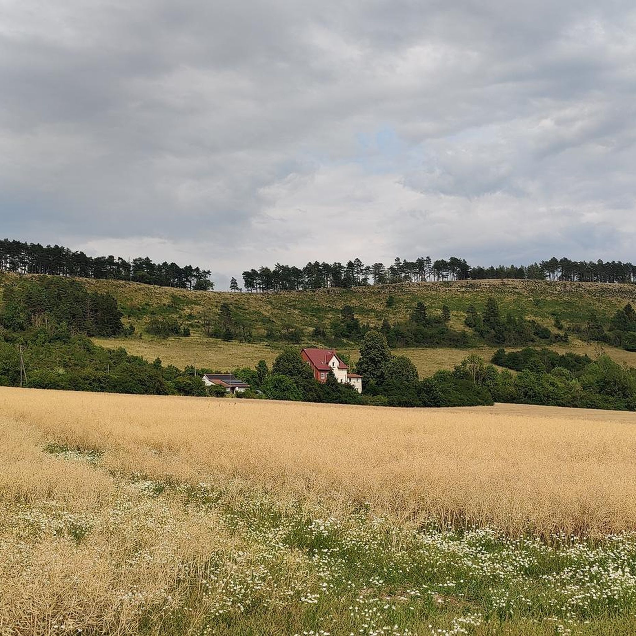
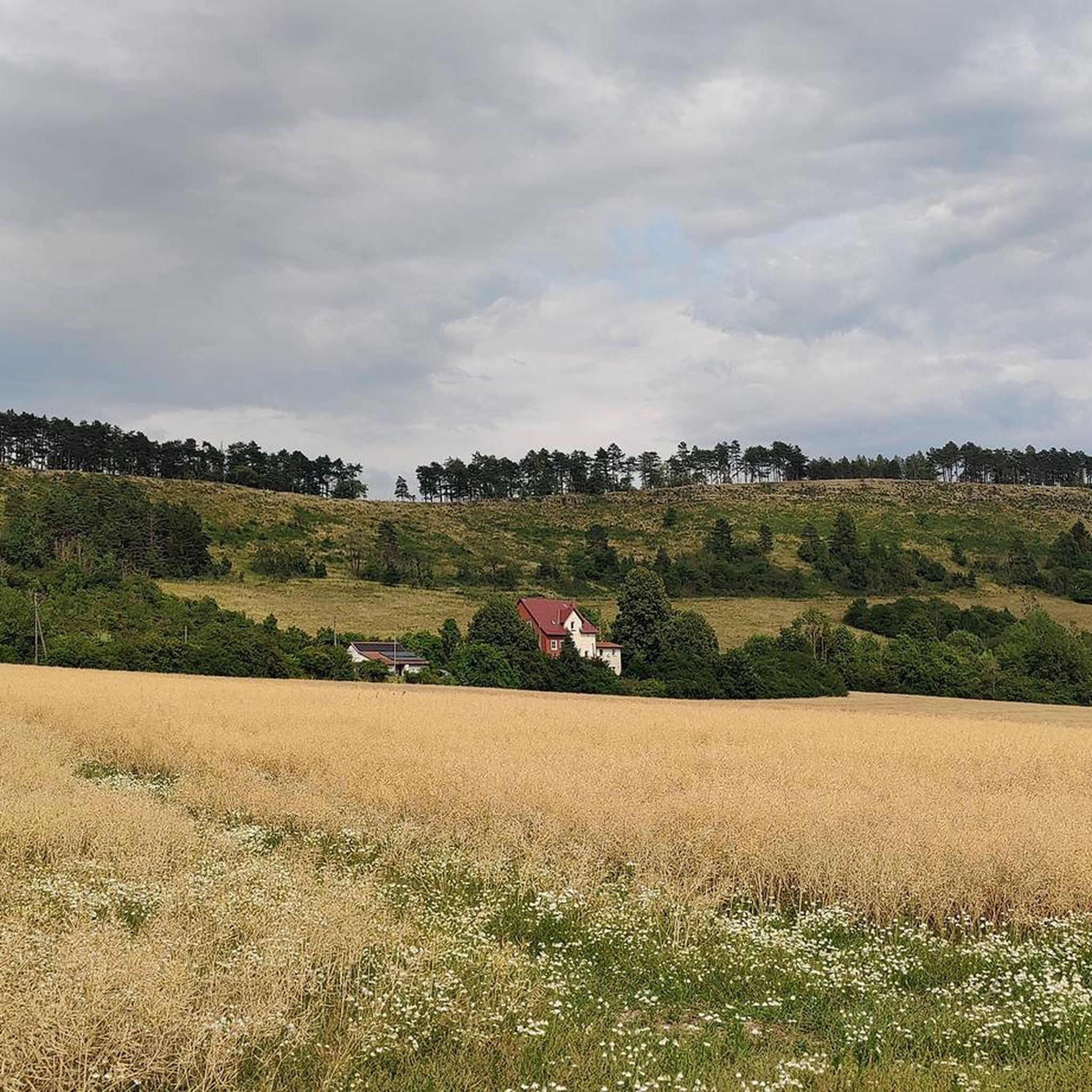
Road cycling around Dieterode features a landscape characterized by rolling hills, open fields, and forested sections, offering varied terrain for road cyclists. The region includes notable elevations such as Dieteröder Höhe and plateaus, alongside historical points of interest like the Lengenfeld Railway Viaduct. Road cycling routes often traverse valleys and connect small villages, providing a mix of ascents and descents.
Best road cycling routes around Dieterode
- The most popular road cycling route is Ascent to Fretterode – Ascent to Dieteröder…
Last updated: June 24, 2026
4.3
(4)
55
riders
49.6km
02:19
590m
590m
Moderate road ride. Good fitness required. Mostly well-paved surfaces and easy to ride.
17
riders
51.3km
02:23
620m
620m
Moderate road ride. Good fitness required. Some segments of this route may be unpaved and difficult to ride.

Sign up for free
15
riders
72.2km
03:22
840m
840m
Moderate road ride. Good fitness required. Mostly well-paved surfaces and easy to ride.
4.7
(3)
14
riders
53.6km
02:19
420m
420m
Moderate road ride. Good fitness required. Mostly well-paved surfaces and easy to ride.
11
riders
35.1km
01:46
510m
510m
Moderate road ride. Good fitness required. Some segments of this route may be unpaved and difficult to ride.
Get access to more routes and recommendations from other explorers.
Sign up for free
Already have an account?
Our route recommendations are based on thousands of hikes, rides, and runs completed by other people on komoot.
Start today with a free account
Your next adventure awaits.
Login or Signup


Tips from the Community

Kalteneber to the Dieteröder Klippen, very good view from the road towards Fürstenhagen, a forest path also runs alongside
0
0
takes you super up the curves from Rüstungen to the Dieteröder Höhe
0
0

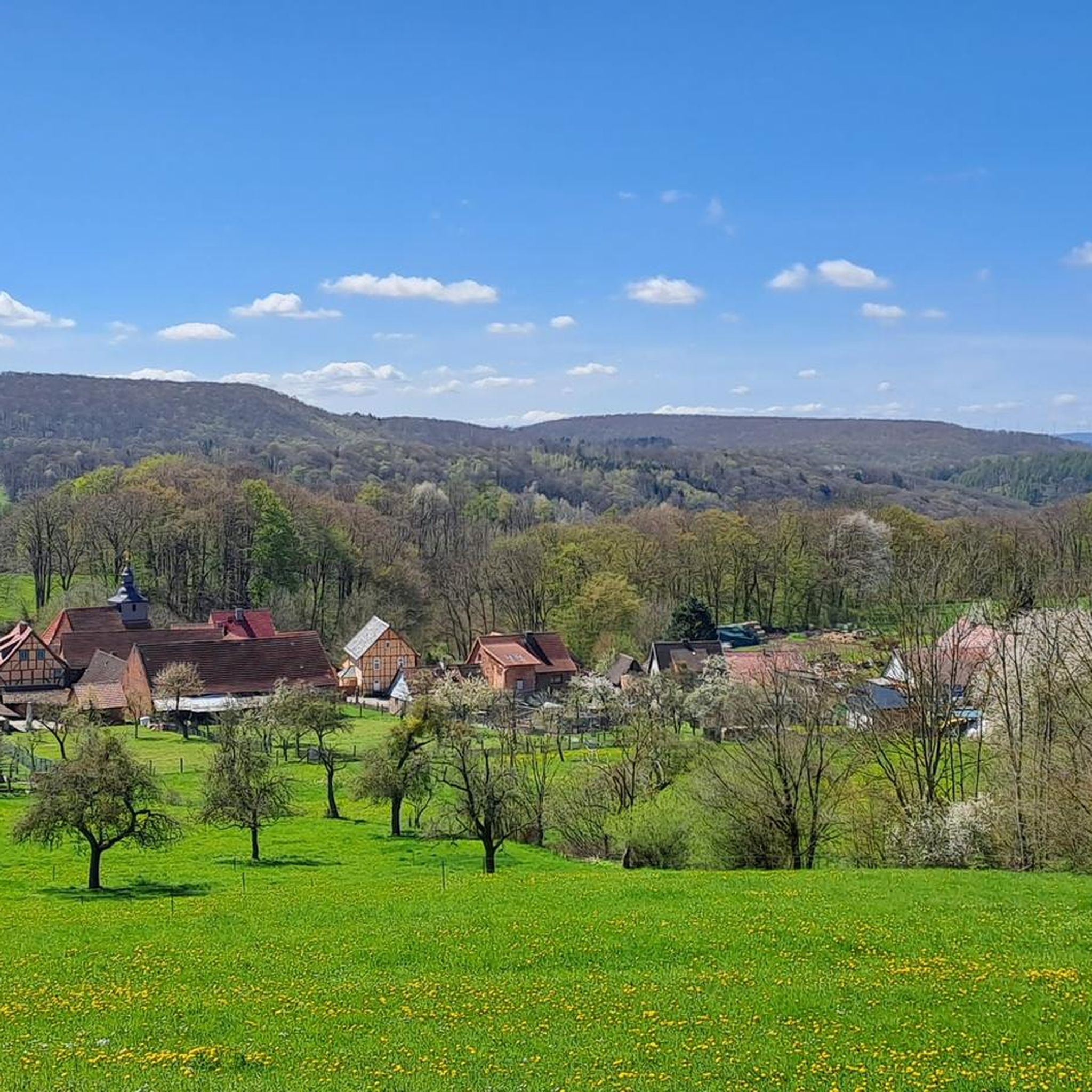
Just like the church square itself, the rest of the village is just as beautiful and worth seeing. It is not recorded when the church was founded. According to reports from the Fulda monastery, there was a fire at a St. James' church in Burschla as early as the turn of the 1st millennium. This suggests that a predecessor building already existed at that time. The current appearance of the church is due to destruction during the Thirty Years' War with subsequent renovation work from the late 18th century onwards.
1
0


very well-developed cycle path
0
0
very nice route along the old railway line
0
0
impressive, the tunnels on this route - but very cold in spring, certainly quite pleasant in summer.
0
0
Frequently Asked Questions
What is the difficulty level of road cycling routes around Dieterode?
Dieterode offers a diverse range of road cycling routes suitable for various skill levels. You'll find 15 easy routes, 78 moderate routes, and 18 difficult routes. The terrain features rolling hills and significant ascents, providing both challenging rides and more relaxed options.
What are the typical lengths of road cycling routes in the Dieterode region?
The road cycling routes around Dieterode vary in length to suit different preferences. Shorter rides, like the Ascent to Dieteröder Höhe – Kalteneber Plateau loop from Wiesenfeld, cover about 35 km. For longer excursions, routes such as the Heyerode Border House – Lengenfeld Railway Viaduct loop from Dieterode extend to over 72 km.
Are there any beginner-friendly road cycling routes in Dieterode?
Yes, Dieterode offers 15 easy-rated road cycling routes that are suitable for beginners or those looking for a less strenuous ride. These routes typically feature gentler gradients and allow you to enjoy the scenic landscape at a comfortable pace.
What kind of terrain can I expect on road cycling routes around Dieterode?
The Dieterode region is characterized by a mix of rolling hills, open fields, and forested sections. Routes often traverse scenic valleys and connect small villages, providing a varied experience with both ascents to elevated points like Dieteröder Höhe and pleasant descents.
What can I see along the road cycling routes in Dieterode?
Many routes incorporate historical points of interest and natural landmarks. You might pass by structures like the Lengenfeld Railway Viaduct or explore natural highlights. For instance, the Church of Frieda – Normannstein Castle loop from Wiesenfeld offers cultural sights, while other routes lead near natural monuments like Dietzenröder Stein or Vatteröder Stein.
Are there any waterfalls accessible from road cycling routes in Dieterode?
Yes, the region features several waterfalls that can be visited. The Großbartloff Waterfall is a notable natural attraction. Other waterfalls in the vicinity include the Geislede Waterfall and the Regentrude Statue and the Lutterfall.
What do other road cyclists enjoy the most about road cycling in Dieterode?
The road cycling routes in Dieterode are highly rated by the komoot community, with an average score of 4.7 stars from over 200 reviews. Cyclists often praise the varied terrain, which includes both challenging ascents and scenic descents, as well as the opportunity to explore historical landmarks and tranquil rural scenery.
Are there any loop road bike trails in Dieterode?
Yes, many of the road cycling routes in Dieterode are designed as loops, offering convenient starting and ending points. Examples include the Ascent to Fretterode – Ascent to Dieteröder Höhe loop from Wiesenfeld and the Küllstedt Tunnel – Mühlberg II Tunnel loop from Schwobfeld, allowing you to return to your starting point without retracing your path.
What is the best season for road biking in Dieterode?
The best season for road biking in Dieterode is generally from spring through autumn. During these months, the weather is typically mild, and the landscape is vibrant. Summer offers longer daylight hours, while spring and autumn provide comfortable temperatures and beautiful scenery with blooming flowers or colorful foliage.
Are there any routes that feature old railway tunnels?
Yes, some routes in the Dieterode region incorporate unique features like old railway tunnels. For example, the Küllstedt Tunnel – Mühlberg II Tunnel loop from Schwobfeld navigates through a landscape that includes these historical railway structures, offering a distinctive cycling experience.
How many road cycling routes are available around Dieterode?
There are over 110 road cycling routes available around Dieterode, providing a wide selection for cyclists of all abilities and preferences. This extensive network ensures plenty of options for exploring the region's diverse landscapes.
Most popular attractions around Dieterode

Get inspired with the komoot mobile app


Explore more
Browse the best Road cycling routes in other regions.
