The best MTB trails around Dietenhofen
4.7
(104)
184
riders
48
rides
Mountain biking around Dietenhofen offers diverse landscapes within the Franconian Heights and the Frankenhöhe Nature Park. The region is characterized by forests, fields, and the Bibert river valley, providing varied terrain for riders. Trails often include unpaved sections, gravel paths, and forest roads, making them suitable for mountain bikes. The area features gentle hills and open nature, contributing to a varied riding experience.
Best mountain bike trails in Dietenhofen
- The most popular mountain bike trail is Cadolzburg Castle – Druidenstein…
Last updated: July 4, 2026
5.0
(6)
16
riders
49.1km
03:06
360m
360m
Moderate mountain bike ride. Good fitness required. Advanced riding skills necessary.
5.0
(7)
8
riders
33.6km
02:34
370m
370m
Moderate mountain bike ride. Good fitness required. Advanced riding skills necessary.

Sign up for free
4.8
(10)
12
riders
36.8km
02:37
430m
430m
Moderate mountain bike ride. Good fitness required. Suitable for all skill levels.
5.0
(3)
5
riders
Moderate mountain bike ride. Good fitness required. Advanced riding skills necessary.
11
riders
35.7km
02:17
240m
240m
Moderate mountain bike ride. Good fitness required. Advanced riding skills necessary.
Get access to more routes and recommendations from other explorers.
Sign up for free
Already have an account?
Our route recommendations are based on thousands of hikes, rides, and runs completed by other people on komoot.
Start today with a free account
Your next adventure awaits.
Login or Signup
Tips from the Community

You should take a look, even if the inscriptions are now difficult to read.
1
0
Memorial stone to the Druidenstein, which once stood here.
1
0

The Protestant church of Rügland
0
0

The Holy Sepulchre was created between 1765 and 1770, was originally located in the chapel of the Teutonic Knights' Castle, and was moved to the parish church of Virnsheim in 1917. It was erected during Holy Week, from Maundy Thursday to Holy Saturday, to reenact the crucifixion and resurrection of Jesus using theatrical means. Its spatial effect is based on the staggered arrangement of four pictorial levels, which become progressively narrower and taller towards the back. A screen reaching the height of the chancel and covering the altar forms the final element. In the late 18th and early 19th centuries, prohibitions and changing tastes led to the near disappearance of these staged tombs. For this reason, multi-part ensembles like this one are very rare. (Excerpt from museen.de/heiliges-grab-virnsberg-flachslanden.html)
0
0

Weinländer Butcher Shop: The Leberkäse roll alone is worth the trip!
1
0

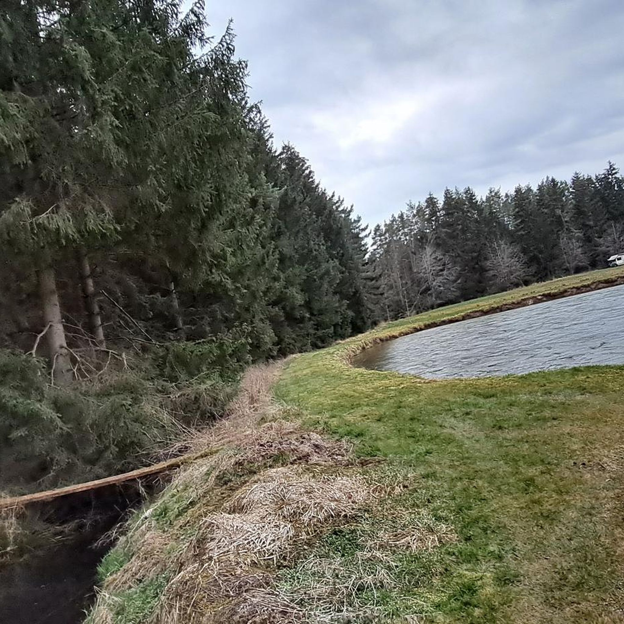
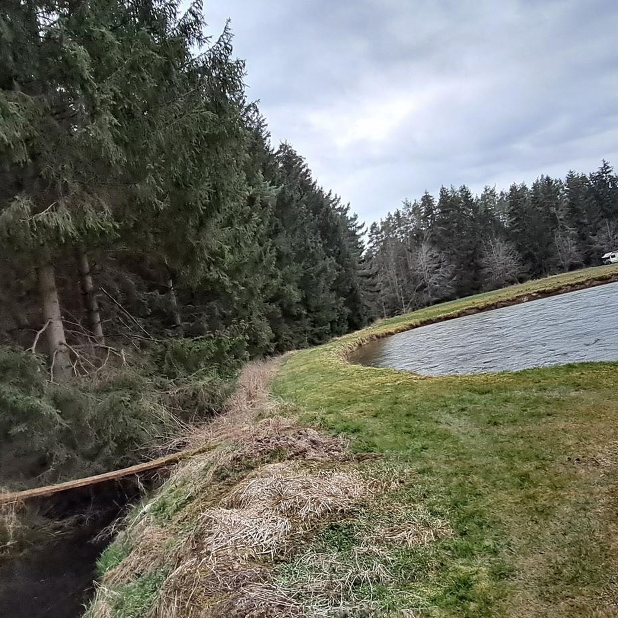
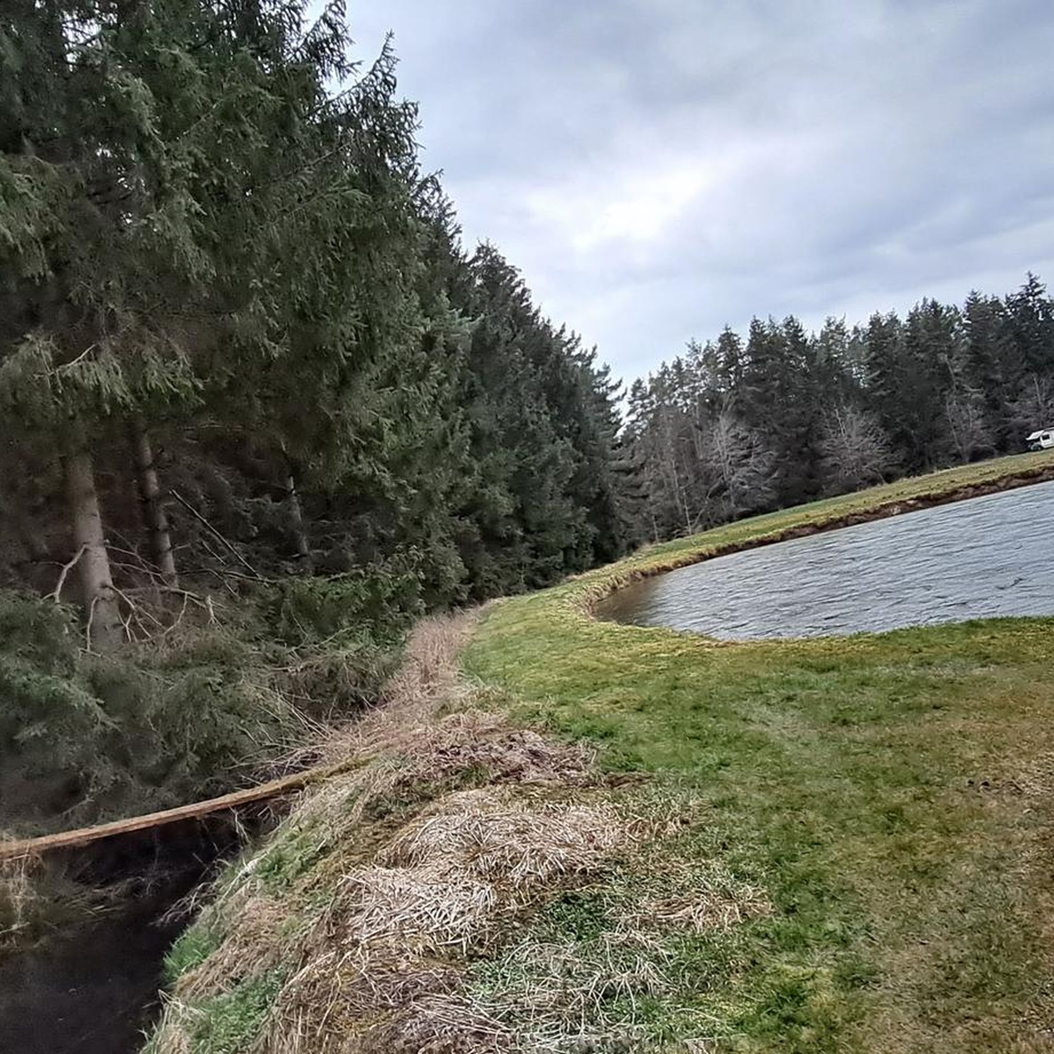
Harvested fields as far as the eye can see. Beautiful scenery, balm for the soul.
0
0

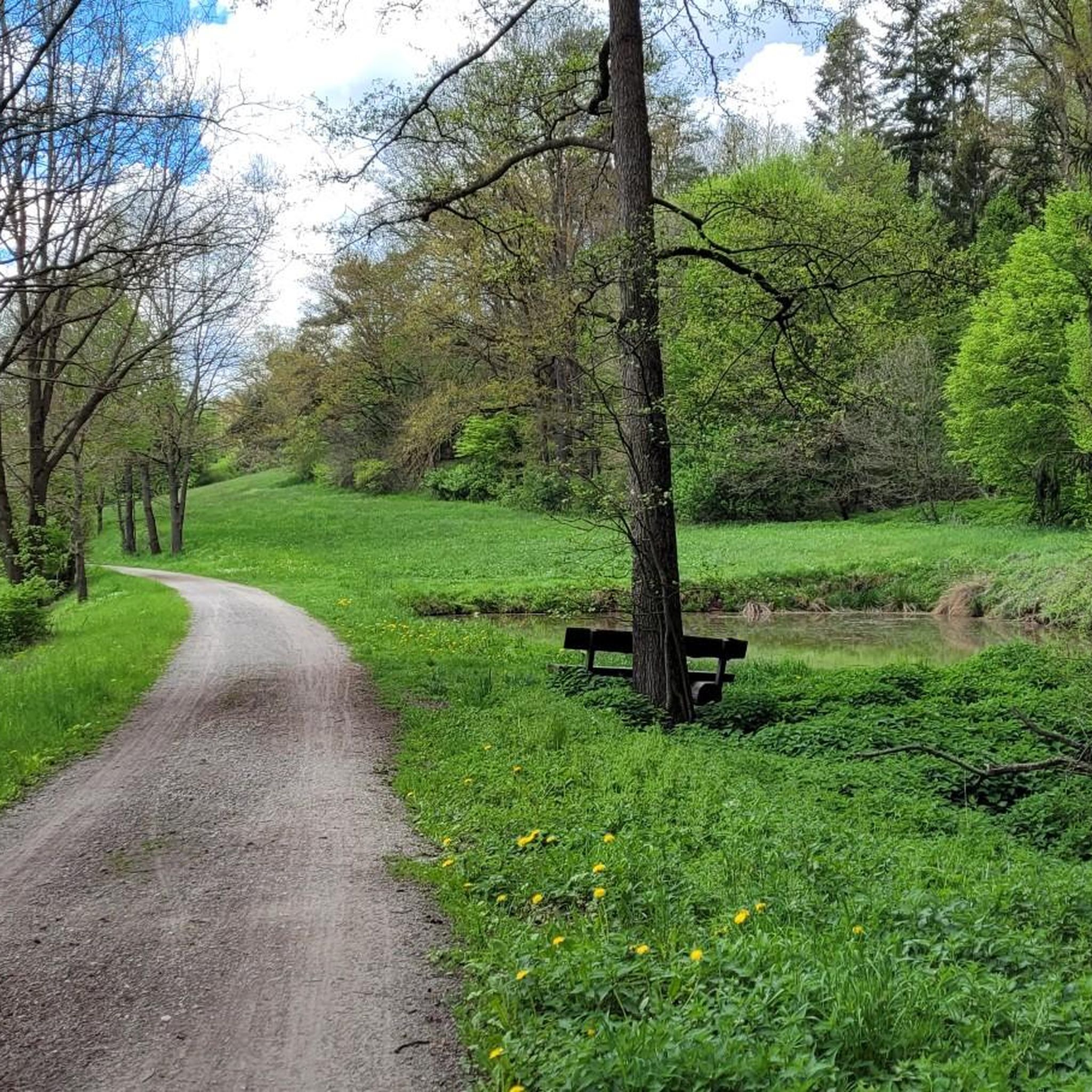
Nice place to stop and have a snack or chill.
0
0

Frequently Asked Questions
How many mountain bike trails are available around Dietenhofen?
There are over 50 mountain bike trails around Dietenhofen, offering a wide range of options for different skill levels. The komoot community has rated these routes highly, with an average score of 4.8 stars.
What kind of terrain can I expect on mountain bike trails around Dietenhofen?
The terrain around Dietenhofen is diverse, characterized by the Franconian Heights and the Bibert river valley. You can expect a mix of unpaved sections, gravel paths, and forest roads. Many routes feature rolling hills, roots, and stones, providing an engaging experience for mountain bikers.
Are there mountain bike trails suitable for beginners in Dietenhofen?
Yes, Dietenhofen offers several easy mountain bike trails. For example, the Heidenhügel Memorial Stone – Siebenrichter Stones loop from Dietenhofen is an easy 22.5 km route with moderate elevation, perfect for those new to mountain biking.
Are there challenging mountain bike routes for experienced riders?
Absolutely. The region provides routes with significant ascents and technical sections. The Cadolzburg Castle – Druidenstein Trail loop from Dietenhofen is a moderate 48.3 km trail that explores varied terrain and historical sites, offering a good challenge. For even more demanding rides, some local routes feature extensive roots and stones, like the challenging route to Ansbach mentioned in regional research.
What natural features can I see while mountain biking in Dietenhofen?
You'll encounter picturesque landscapes within the Franconian Heights and the Frankenhöhe Nature Park. The Bibert river flows through the valley, and many trails follow its banks or wind through extensive forests and rolling hills. The area is known for its scenic beauty and tranquil settings.
Are there any castles or historical sites along the mountain bike trails?
Yes, several routes pass by historical landmarks. The Forest Path Near Virnsberg – Virnsberg Castle loop from Dietenhofen leads directly past Virnsberg Castle. Another popular route, the Cadolzburg Castle – Druidenstein Trail loop from Dietenhofen, explores varied terrain and passes historical sites, including Cadolzburg Castle.
Can I find shorter mountain bike loops, for example, around 2 hours?
Yes, you can find shorter loops. The Heidenhügel Memorial Stone – Siebenrichter Stones loop from Dietenhofen is an easy 22.5 km trail that typically takes around 1 hour 30 minutes to complete, fitting well within a 2-hour timeframe.
What is the best time of year for mountain biking in Dietenhofen?
The best time for mountain biking in Dietenhofen is generally from spring through autumn, when the weather is mild and the trails are dry. The forests and river valleys offer beautiful scenery during these seasons. Always check local weather conditions before heading out.
Are there any viewpoints or scenic spots along the trails?
Yes, the region offers several scenic spots. The Sonnensee – Lake Sonnensee loop from Dietenhofen provides scenic views around Lake Sonnensee and through surrounding woodlands. Additionally, the Burgbergalm lookout point, while not directly on a listed komoot route, is known for spectacular views of the landscape.
Are the mountain bike trails in Dietenhofen suitable for families?
Many of the easier and moderate trails, particularly those along the Bibert river or through less challenging forest sections, can be suitable for families with older children who are comfortable on mountain bikes. Always check the difficulty rating and elevation profile of a specific route to ensure it matches your family's skill level.
What do other mountain bikers enjoy the most about mountain biking in Dietenhofen?
The area is highly rated by the komoot community, with an average score of 4.8 stars from over 70 reviews. Reviewers often praise the varied terrain, the beautiful natural landscapes within the Franconian Heights, and the well-maintained forest paths that offer a diverse riding experience.
Most popular routes around Dietenhofen
Most popular attractions around Dietenhofen

Get inspired with the komoot mobile app


Explore more
Browse the best MTB trails in other regions.
