The best road cycling routes around Flowery Branch
80
riders
8
rides
Road cycling around Flowery Branch, Georgia, offers diverse terrain characterized by rolling hills and verdant valleys in the foothills of the Appalachian Mountains. The region's proximity to Lake Lanier provides scenic views and varied landscapes for cyclists. This area features a mix of well-paved roads and engaging routes suitable for different fitness levels.
Best road cycling routes around Flowery Branch
- The most popular road cycling route is Rock Creek Veterans Park loop from Park and Ride, a 60.4 miles…
Last updated: May 30, 2026
26
riders
62.4km
02:50
540m
540m
Moderate road ride. Good fitness required. Mostly well-paved surfaces and easy to ride.
13
riders
97.6km
04:27
920m
920m
Hard road ride. Very good fitness required. Mostly well-paved surfaces and easy to ride.

Sign up for free
6
riders
53.8km
02:31
580m
580m
Moderate road ride. Good fitness required. Mostly well-paved surfaces and easy to ride.
4
riders
53.8km
02:31
550m
550m
Moderate road ride. Good fitness required. Mostly well-paved surfaces and easy to ride.
7
riders
31.1km
01:30
290m
290m
Easy road ride. Great for any fitness level. Mostly well-paved surfaces and easy to ride.
Get access to more routes and recommendations from other explorers.
Sign up for free
Already have an account?
Our route recommendations are based on thousands of hikes, rides, and runs completed by other people on komoot.
Start today with a free account
Your next adventure awaits.
Login or Signup
Popular around Flowery Branch

Tips from the Community

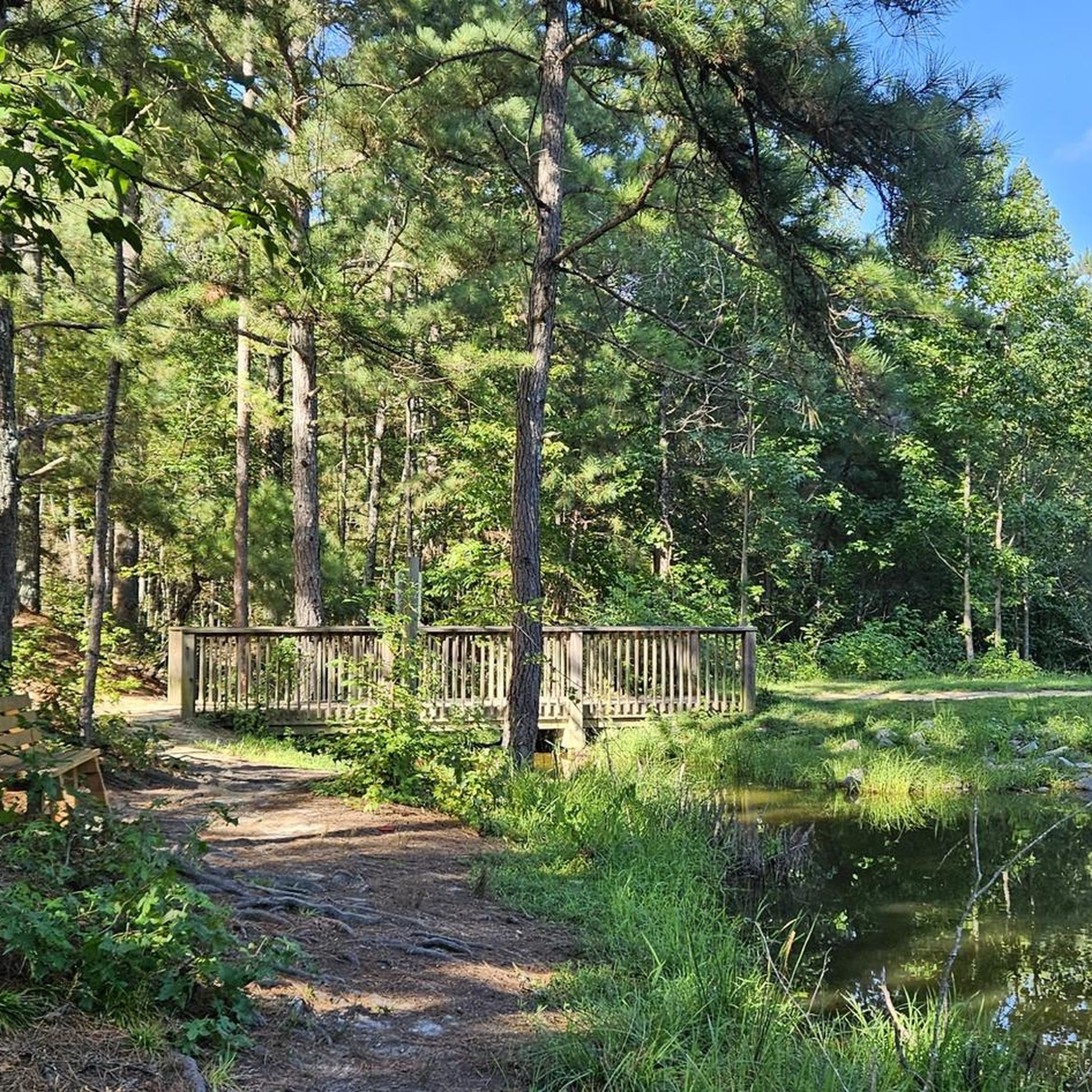
Rock Creek Veterans Park is a popular park in Gainesville. There is an amphitheater, war memorial, and access to the Rock Creek Greenway.
1
0
Frequently Asked Questions
How many road cycling routes are available around Flowery Branch?
Komoot features 8 road cycling routes around Flowery Branch, offering a variety of options for different skill levels. These include 1 easy route, 5 moderate routes, and 2 difficult routes.
What kind of terrain can I expect on road cycling routes in Flowery Branch?
Road cycling in Flowery Branch is characterized by rolling hills and verdant valleys, set in the foothills of the Appalachian Mountains. Many routes also offer scenic views of Lake Lanier, providing a diverse and engaging landscape for cyclists.
Are there road cycling routes suitable for beginners or families in Flowery Branch?
Yes, there are routes suitable for those looking for an easier ride. For instance, the Roadbike loop from Citgo is an easy 19.3-mile (31.1 km) path that can be completed in under two hours, offering a good option for less experienced cyclists or families.
What are some longer or more challenging road cycling routes in the area?
For experienced cyclists seeking a challenge, the Rock Creek Veterans Park loop from Park and Ride is a difficult 60.4-mile (97.3 km) route with significant elevation gain, typically taking over four hours to complete. Another challenging option is the Suwanee Creek Greenway loop from Rest Haven, a moderate 36.1-mile (58.2 km) route with substantial climbing.
Are there any circular road cycling routes in Flowery Branch?
Many of the road cycling routes in Flowery Branch are designed as loops, allowing you to start and end at the same point. Examples include the Roadbike loop from Pool House and the Roadbike loop from Reed, both offering moderate, circular rides through the local countryside.
Where can I find parking for road cycling routes in Flowery Branch?
Many routes, such as the Rock Creek Veterans Park loop from Park and Ride, indicate starting points with available parking. Additionally, local parks like Flowery Branch Bay Park, Old Federal Park, and Alberta Banks Park often provide parking facilities that can serve as convenient starting points for your rides.
What is the best time of year for road cycling in Flowery Branch?
The spring and fall months generally offer the most pleasant conditions for road cycling in Flowery Branch, with milder temperatures and beautiful scenery. Summer can be warm and humid, while winter rides are possible but may require appropriate gear for cooler weather.
Are there places to stop for refreshments or cafes along the routes?
While specific cafes directly on every route are not always highlighted, the historic downtown area of Flowery Branch offers charming spots for refreshments. Additionally, the Mulberry Springs Vineyard and Winery provides a unique stop for tastings and scenic views, which could be incorporated into a ride.
What scenic viewpoints or natural attractions can I see while road cycling?
Road cycling routes often provide views of Lake Lanier, a central natural feature of the area. You might also pass by natural highlights such as Miller Lake or the Forest Trail and Stream at Little Mulberry Park, offering picturesque stops along your ride.
Are there any specific landmarks or points of interest near the road cycling routes?
Beyond natural features, you can explore the historic downtown of Flowery Branch with its restored train depot. For other points of interest, consider visiting Ivy Creek Greenway or crossing the scenic Creek crossing, which are popular highlights in the region.
Are there any local cycling groups or organized rides in Flowery Branch?
Yes, Flowery Branch has an active cycling community. Frazier Cycling Partners, for example, organizes 'Flowery Branch 50 Rides,' which are 50-mile routes available on weekends, indicating opportunities for group rides and a supportive environment for cyclists.
How long do typical road cycling routes in Flowery Branch take to complete?
The duration of routes varies significantly based on distance and difficulty. Easy routes, like the Roadbike loop from Citgo, can be completed in under two hours. Moderate routes, such as the Roadbike loop from Pool House, typically take around 2.5 hours, while difficult routes can extend to over four hours.
Most popular routes around Flowery Branch
Most popular attractions around Flowery Branch

Get inspired with the komoot mobile app


Explore more
Browse the best Road cycling routes in other regions.
