The best running trails around Blagdon Lake
4.4
(99)
5,399
runners
342
runs
Jogging around Blagdon Lake offers diverse routes through a landscape characterized by a large reservoir, rolling countryside, and the northern edge of the Mendip Hills. The area is a Site of Special Scientific Interest, providing varied natural settings for running. Paths often feature a mix of paved surfaces, quiet country lanes, and public footpaths, catering to different preferences. The region's terrain includes tranquil lakeside sections and opportunities for more challenging hill climbs.
Best jogging routes around Blagdon Lake
- The most…
Last updated: May 14, 2026
20
runners
8.69km
00:56
130m
130m
Moderate run. Good fitness required. Mostly paved surfaces. Suitable for all skill levels.
19
runners
Moderate run. Good fitness required. Mostly paved surfaces. Suitable for all skill levels.

Sign up for free
9
runners
10.3km
01:06
140m
140m
Moderate run. Good fitness required. Mostly paved surfaces. Suitable for all skill levels.
4
runners
17.1km
02:02
370m
370m
Hard run. Very good fitness required. Mostly paved surfaces. Suitable for all skill levels.
10
runners
5.52km
00:36
90m
90m
Moderate run. Good fitness required. Mostly paved surfaces. Suitable for all skill levels.
Get access to more routes and recommendations from other explorers.
Sign up for free
Already have an account?
Our route recommendations are based on thousands of hikes, rides, and runs completed by other people on komoot.
Start today with a free account
Your next adventure awaits.
Login or Signup

Tips from the Community

Great stretch of road, I know I am nearly at Bristol, or just getting started. Either way I cannot help but stop and enjoy the view, just stunning.
0
0


Excellent food and good value prices. Buddah bowls, jacket potatoes, good coffee, interesting fruit infusions.
0
0

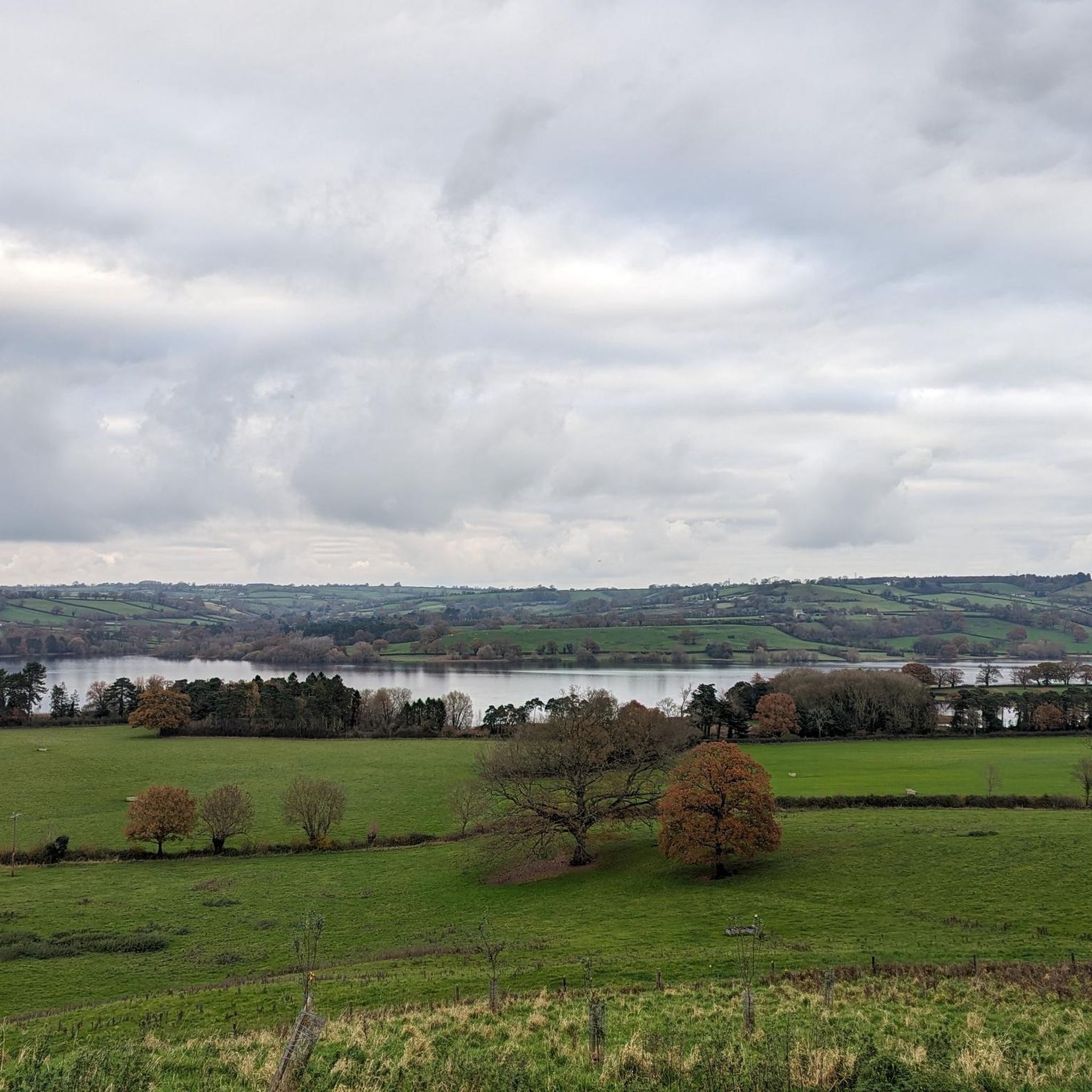
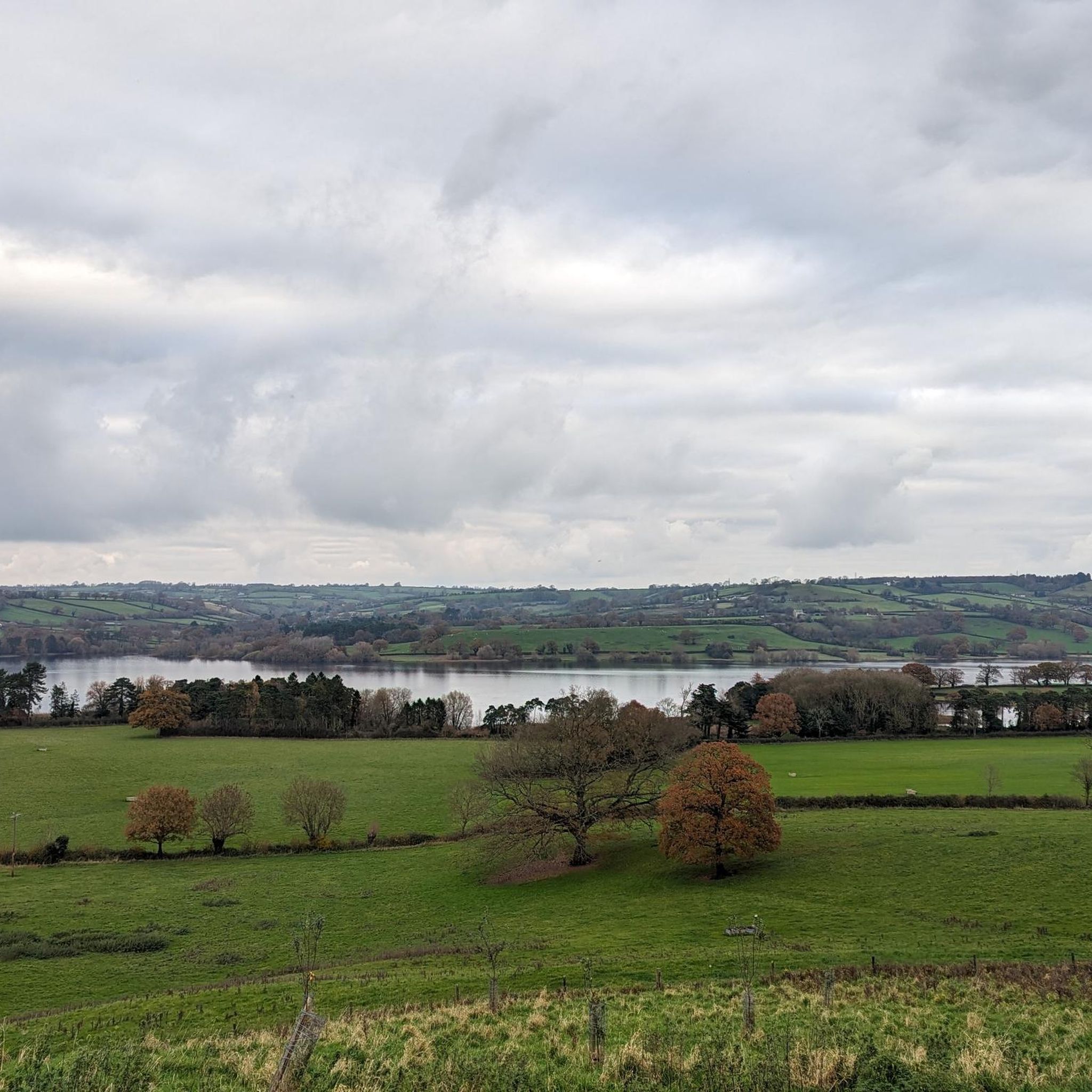
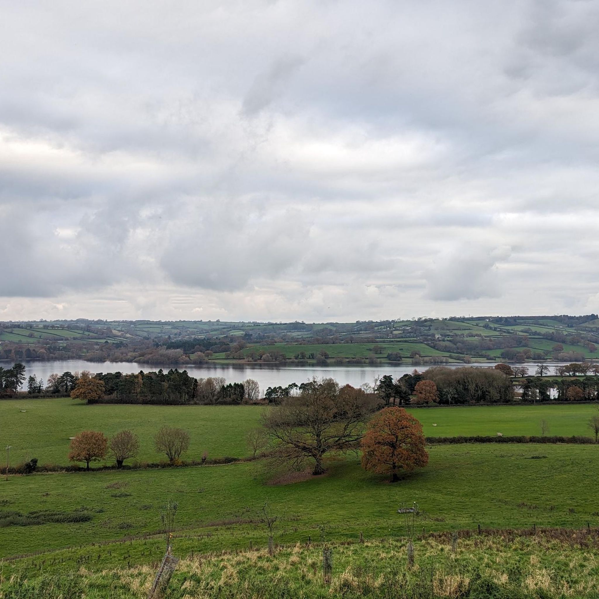
The road leading out of the small village of Butcombe offers a visually appealing cycling route, framed by Blagdon and the stunning Mendips in the distance.
1
0

Black Down is the highest hill in the Mendips with Beacon Batch the highest spot point at 1,066 feet (325 m). There are a good set of bridleways in the area, many with gravelly surfaces suitable for gravel or touring bikes. The summit ridge path is particularly good, with amazing views of the Mendips and north towards Bristol.
0
0

Prepare yourself for the coming hill or take a different direction 😁🥵🚵
0
0

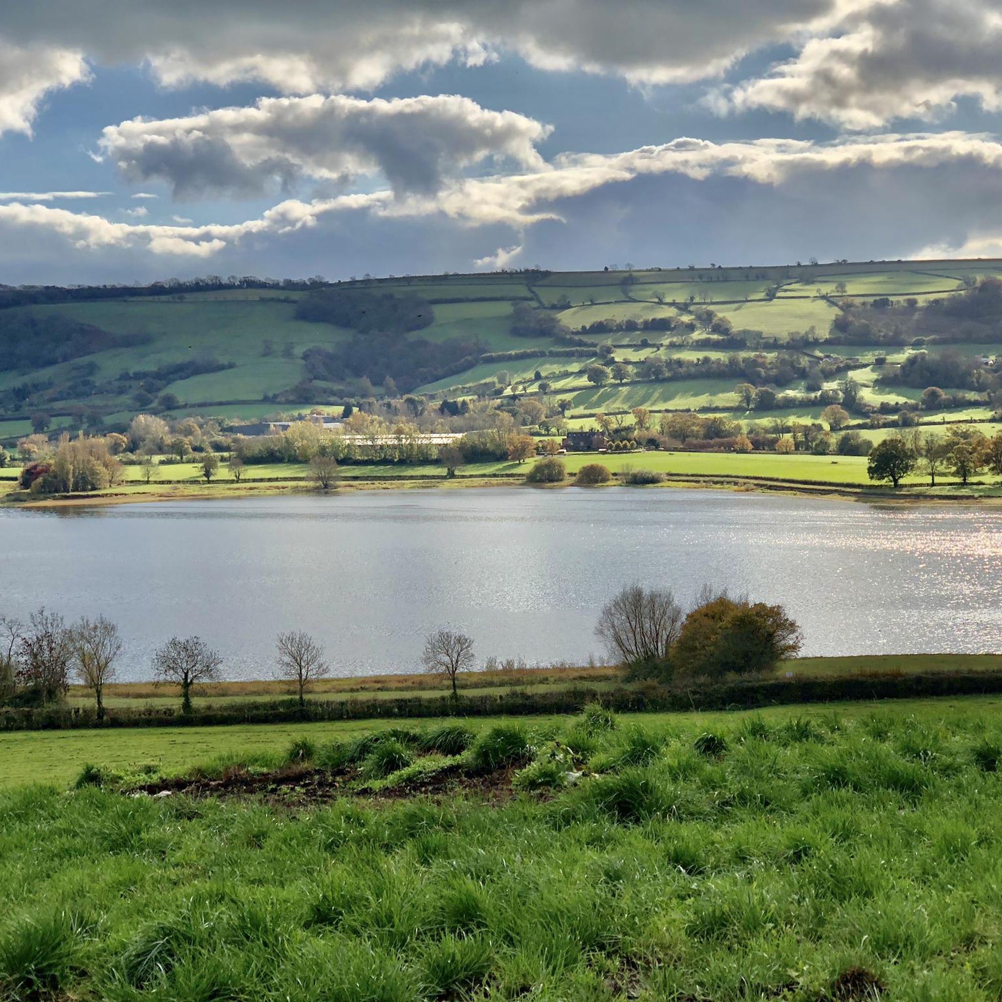
Blagdon Lake was created by damming the River Yeo in 1898. The project was completed in 1905 and provides drinking water for Bristol and the local area. The lake is also an important wildlife habitat, with lots of different bird and insect species living here.
0
0
Frequently Asked Questions
How many running routes are available around Blagdon Lake?
There are over 360 running routes around Blagdon Lake, catering to various preferences and fitness levels. These include a mix of easy, moderate, and difficult trails, ensuring there's something for every runner.
What do other runners enjoy most about the trails at Blagdon Lake?
The running routes around Blagdon Lake are highly rated by the komoot community, with an average score of 4.4 stars from nearly 100 reviews. Runners often praise the scenic lakeside views, the blend of tranquil paths and rolling countryside, and the diverse natural settings that make each run unique.
Are there running routes suitable for beginners at Blagdon Lake?
Yes, Blagdon Lake offers several routes suitable for beginners. While many are moderate, there are 26 routes classified as easy, providing a gentler introduction to jogging in the area. These often feature mostly paved surfaces and less challenging elevation changes.
What kind of terrain can I expect on the jogging paths around Blagdon Lake?
The terrain around Blagdon Lake is quite varied. You'll find a mix of mostly paved surfaces, quiet country lanes, and public footpaths. Some routes offer tranquil lakeside sections, while others venture into the rolling countryside and the northern edge of the Mendip Hills, providing opportunities for more challenging climbs.
How do trail conditions change during wet weather or winter at Blagdon Lake?
During wet weather or in winter, some trails around Blagdon Lake, particularly public footpaths, can become muddy. It's advisable to wear appropriate waterproof footwear to ensure a comfortable and safe run during these conditions.
Are there any circular running routes around Blagdon Lake?
Yes, many of the running routes around Blagdon Lake are circular, allowing you to start and finish at the same point. An example is the Blagdon Lake – Bridge Over Blagdon Lake loop from Blagdon, which is a moderate 5.5 km (3.4 miles) route.
Are there any family-friendly jogging paths around Blagdon Lake?
While specific 'family-friendly' designations aren't always explicit, many of the easier and moderate routes with mostly paved surfaces or quiet lanes would be suitable for families. The area around the Blagdon Pumping Station also features a nature trail called Discovery Wood, which could be a good option for a shorter, more relaxed run or walk with children.
Can I bring my dog on the running trails at Blagdon Lake?
Blagdon Lake is generally dog-friendly, but it's important to keep dogs on a lead, especially around livestock and to protect the local wildlife, as the area is a Site of Special Scientific Interest. Always clean up after your dog to maintain the natural beauty of the trails.
What natural features or wildlife can I see while running around Blagdon Lake?
Blagdon Lake is a Site of Special Scientific Interest, offering rich biodiversity. You can enjoy picturesque lakeside views, sheltered bays, reedbeds, and carr woodland. Keep an eye out for diverse wildlife, including numerous bird species like coot, moorhen, tufted duck, teal, and kingfishers, as well as damselflies, dragonflies, and small mammals.
Are there any historical landmarks or points of interest along the running routes?
Yes, beyond the natural beauty, you can encounter historical points of interest. The Blagdon Pumping Station, a historic building from 1898-1905, preserves original steam-powered beam engines. In the nearby village of Blagdon, St. Andrew's Church with its 15th-century tower offers an attractive historical landmark overlooking the lake.
Where can I park when visiting Blagdon Lake for a run?
Parking is available in and around the village of Blagdon. Some routes, like the Blagdon Lake – The Coffee Station Café loop from Blagdon, start near local amenities where parking might be accessible. It's always a good idea to check local signage for parking regulations and availability.
Are there cafes or pubs near the running routes for refreshments?
Yes, the village of Blagdon, which many routes pass through or start from, offers amenities. You can find pubs like the New Inn and Seymour Arms, and a cafe such as The Coffee Station, perfect for refreshments before or after your run.
What is the longest running route available at Blagdon Lake?
For those seeking a longer challenge, the Velvet Bottom Nature Reserve loop from Ubley is a difficult route covering approximately 17.1 km (10.6 miles) with significant elevation gain, taking around 2 hours to complete.
Most popular routes around Blagdon Lake

Get inspired with the komoot mobile app


Explore more
Browse the best Running Trails & Routes in other regions.
