The best road cycling routes around Douglasville
4.4
(46)
1,048
riders
13
rides
Road cycling around Douglasville, Georgia, offers diverse natural landscapes and extensive trail networks. The region features rolling hills, valleys, and scenic terrain, providing varied elevation for cyclists. A significant feature is the Silver Comet Trail, a paved multi-use pathway accessible from areas near Douglasville, ideal for longer rides. These natural features contribute to a compelling destination for outdoor activities.
Best road cycling routes around Douglasville
- The most popular road cycling route is Dallas – Brushy Mountain Tunnel loop from Floyd Road Trailhead, a 54.4 miles (87.6 km) trail that takes 4 hours 31 minutes to complete. This route features varied terrain through the local landscape.
- Another top favourite among local road cyclists is Upper Wooten Gravel Trail – Cochran Mill Park loop from Browns Lake Dam, a moderate 23.8 miles (38.3 km) path. This route offers a mix of paved and gravel sections, winding through natural areas.
- Local road cyclists also love the Upper Wooten Gravel Trail – Cochran Mill Park loop from Campbellton, a 62.6 miles (100.8 km) trail leading through natural areas, often completed in about 4 hours 57 minutes.
- Road cycling around Douglasville is defined by rolling hills, scenic views, and extensive paved trail networks like the Silver Comet Trail. The network offers options for 11 moderate and 1 difficult routes, catering to different ability levels.
- The routes in Douglasville are highly rated by the komoot community with an average score of 3.0 stars from over 2 reviews. More than 500 road cyclists have used komoot to explore Douglasville's varied terrain.
Last updated: June 29, 2026
4.9
(8)
292
riders
60.6km
03:06
390m
390m
Moderate road ride. Good fitness required. Mostly well-paved surfaces and easy to ride.
4.8
(34)
229
riders
28.0km
01:16
190m
190m
Easy road ride. Great for any fitness level. Mostly well-paved surfaces and easy to ride.

Sign up for free
64
riders
38.3km
02:43
330m
330m
Moderate road ride. Good fitness required. Some segments of this route may be unpaved and difficult to ride.
57
riders
101km
04:57
850m
850m
Moderate road ride. Good fitness required. Some segments of this route may be unpaved and difficult to ride.
5.0
(2)
48
riders
17.5km
00:49
150m
150m
Easy road ride. Great for any fitness level. Mostly well-paved surfaces and easy to ride.
Get access to more routes and recommendations from other explorers.
Sign up for free
Already have an account?
Our route recommendations are based on thousands of hikes, rides, and runs completed by other people on komoot.
Start today with a free account
Your next adventure awaits.
Login or Signup
Popular around Douglasville

Tips from the Community


The Silver Comet Trail's Eastern Terminus is in the center of Smyrna. There is no parking or restrooms at the trailhead, but there are many restaurants and stores around. If you want to continue your ride, the trail connects with the Cumberland Connector, which takes you about five miles along the southern outskirts of Smyrna.
0
0
The Pumpkinvine Trestle is a 750-feet-long bridge that takes you over Pumpkinvine Creek. The bridge rises up to 126 feet and gives you great views of the creek and woodland below.
0
0

This quiet, paved rail trail is open to almost all non-motorized uses. Long sections of it wind through forested greenways, making for a really nice ride.
0
0

Downtown Powder Springs, Georgia, is a quaint and vibrant area known for its small-town charm that features a mix of local shops, restaurants, and historic buildings. The town square is a focal point, often hosting events like farmers' markets, concerts, and festivals. The Historic Train Depot, now a community center, and the Seven Springs Museum offer glimpses into the area's past. Powder Springs Park and the nearby Silver Comet Trail provide recreational opportunities, making downtown a hub of activity for both residents and visitors.
0
0
The Silver Comet Trail is a 61.5-mile paved multi-use trail that passes through Cobb, Paulding, and Polk counties. The trail is only open to walkers, runners, hikers, bicyclists, rollerbladers, dog walkers, and is mostly wheelchair accessible; it is a great, car-free way to explore Georgia. The trail starts in Smyrna, Georgia, and ends at the Georgia/Alabama state line. This section goes west from Power Springs toward Hiram.
0
0

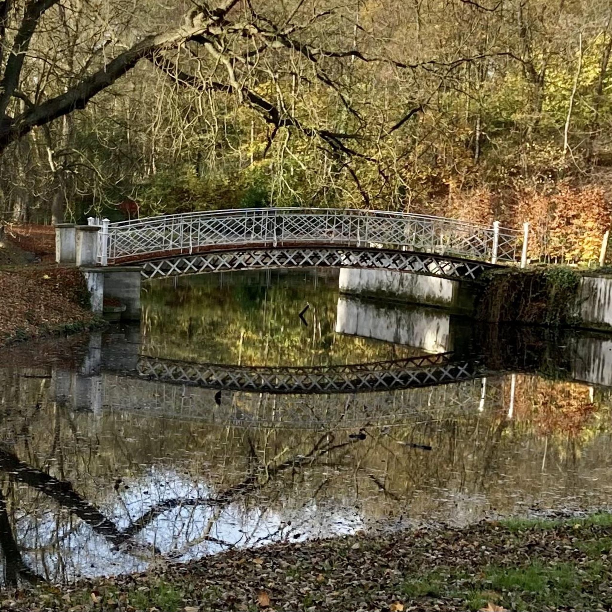
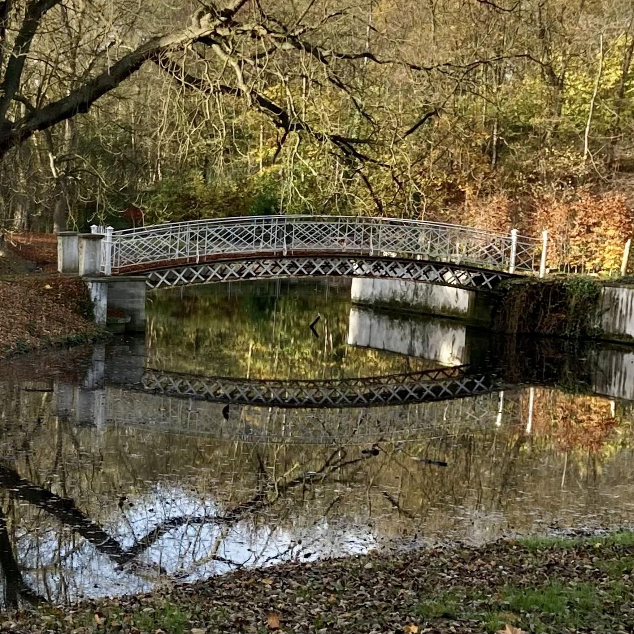
Sewell Mill Road is a lovely, forested road and pretty nice to ride. Along the road you will cross a small bridge that goes over Sewell Millpond. The pond is a good place to stop and look for birds and other wildlife. However, there is no real access to the pond because it is surrounded by private property. From the bridge you have a pretty good view of most of the pond.
0
0

Cochran Mill Park, situated in the Chattahoochee Hills, invites visitors to explore its picturesque landscape. With over 800 acres of forests, meadows, and waterfalls, it's a wonderful spot for both visitors or locals to the area.
0
0
Frequently Asked Questions
How many road cycling routes are available around Douglasville?
Douglasville offers a wide selection of road cycling routes, with over 15 routes available on komoot. These routes cater to various skill levels, including 3 easy, 11 moderate, and 1 difficult option.
What kind of terrain can I expect on road cycling routes around Douglasville?
The road cycling routes around Douglasville are characterized by rolling hills and scenic views, providing varied terrain. You'll find extensive paved trail networks, such as sections of the Silver Comet Trail, ideal for smooth rides, alongside routes that incorporate suburban and natural areas.
Are there any long-distance road cycling options near Douglasville?
Yes, for those seeking longer rides, the region offers several substantial routes. A notable option is the Dallas – Brushy Mountain Tunnel loop from Floyd Road Trailhead, which spans 54.4 miles (87.6 km). Another long route is the Upper Wooten Gravel Trail – Cochran Mill Park loop from Campbellton, covering over 62 miles (100 km).
Are there family-friendly road cycling routes in Douglasville?
While specific family-friendly routes are not explicitly detailed, the presence of 3 easy routes and sections of the paved, car-free Silver Comet Trail make Douglasville suitable for families. These easier, flatter sections provide a safe and enjoyable environment for cyclists of all ages.
What are some scenic viewpoints or natural features to look out for while cycling?
Douglasville's routes often pass through areas with natural beauty. You can expect scenic views of rolling hills and woodlands. Nearby attractions like Sweetwater Creek State Park and Dog River Park offer picturesque natural settings, though specific viewpoints directly on the cycling routes are not always marked. The Silver Comet Trail itself is known for its scenic, car-free environment.
Are there circular road cycling routes available?
Yes, many of the routes around Douglasville are designed as loops, allowing you to start and end at the same point. Examples include the Dallas – Brushy Mountain Tunnel loop from Floyd Road Trailhead and the Power Springs loop from Floyd Road Trailhead, providing convenient round trips.
Where can I find parking for road cycling routes in Douglasville?
Many routes, particularly those starting from trailheads like Floyd Road Trailhead, offer designated parking. For access to the Silver Comet Trail, various access points along its length provide parking facilities. Additionally, local parks such as Boundary Waters Recreational Complex and Clinton Nature Preserve, which may be near cycling routes, typically have parking available.
What is the best time of year for road cycling in Douglasville?
Douglasville generally offers pleasant cycling conditions for much of the year. Spring and fall are often ideal, with milder temperatures and beautiful foliage. Summers can be warm and humid, so early morning rides are recommended. Winters are typically mild, allowing for cycling on many days.
Are there options for beginner road cyclists?
Absolutely. Douglasville features 3 easy road cycling routes, perfect for beginners or those looking for a relaxed ride. These routes typically have less elevation gain and cover shorter distances, such as the Power Springs loop from Floyd Road Trailhead, which is 13.4 miles long.
What do other cyclists say about the road cycling experience in Douglasville?
The road cycling routes in Douglasville are highly rated by the komoot community, with an average score of 4.3 stars from more than 10 reviews. Cyclists often praise the varied terrain, scenic views, and the accessibility of paved trails like the Silver Comet Trail, making it a popular destination for road biking.
Are there any challenging routes for experienced road cyclists?
Yes, for experienced road cyclists seeking a challenge, Douglasville offers routes with more significant elevation changes and longer distances. There is at least one difficult route available, and several moderate routes like the Upper Wooten Gravel Trail – Cochran Mill Park loop from Campbellton feature substantial climbs and distances over 60 miles.
Can I access the Silver Comet Trail from Douglasville?
Yes, sections of the Silver Comet Trail, a 61.5-mile paved, multi-use pathway, are easily accessible from areas near Douglasville. This car-free trail provides excellent opportunities for long-distance road cycling on a smooth surface.
Are there any cafes or places to stop along the routes?
While specific cafes directly on the routes are not detailed, many routes pass through or near Douglasville and surrounding towns. These areas offer various amenities, including cafes, restaurants, and shops, where cyclists can refuel and take a break. It's advisable to plan your stops based on the route you choose.
Most popular routes around Douglasville

Get inspired with the komoot mobile app


Explore more
Browse the best Road cycling routes in other regions.
