The best walks and hikes around Blue Ridge
4.7
(15)
245
hikers
20
hikes
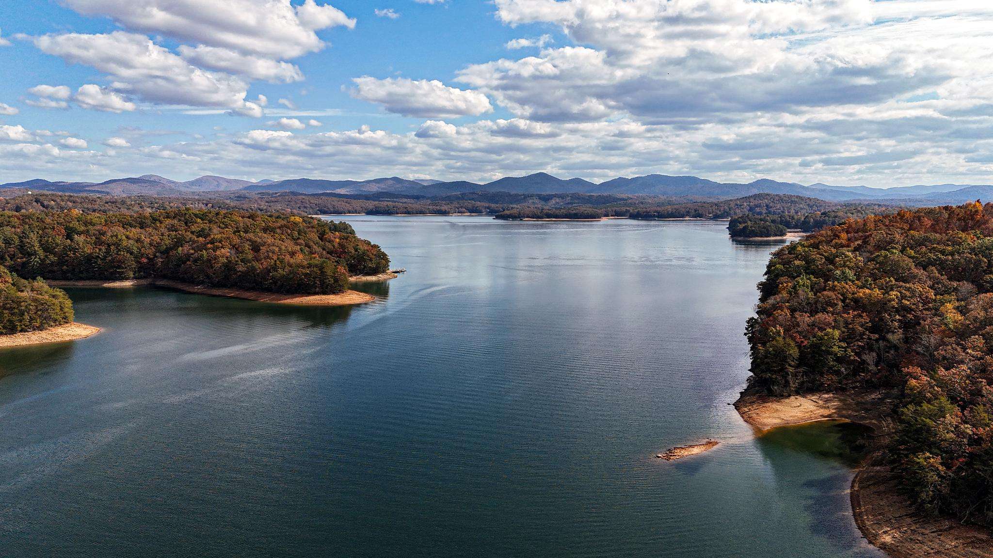
Hiking around Blue Ridge offers access to a diverse landscape within the larger Appalachian Highlands, characterized by ancient geological formations and varied ecosystems. The region features forested summits, deep valleys, and numerous waterfalls. These mountains are known for their distinctive "blue" tint and support a wide range of plant and animal species.
Best hiking trails around Blue Ridge
- The most popular hiking route is Flat Creek Loop - Blue Ridge, a 5.5 miles (8.8 km) trail that takes 2…
Last updated: October 3, 2026
1
hikers
7.76km
02:28
350m
310m
Embark on the Rocky Mountain via Stanley Gap Trail for a moderate hiking experience through classic North Georgia singletrack. This route spans 4.8 miles (7.8 km) and involves a significant…
1
hikers
2.05km
00:48
240m
0m
Hike the easy 1.3-mile Benton MacKaye Trail to Scroggin Knob in Georgia, gaining 794 feet for pleasurable views.

1
hikers
3.93km
01:17
240m
90m
Embark on an easy hike along the Benton MacKaye Trail, covering 2.4 miles (3.9 km) with a gentle ascent of 784 feet (239 metres). This segment, estimated to take about…
5.13km
01:24
60m
110m
The Prince Mountain Loop offers an easy hiking experience, guiding you through peaceful hardwood forests and along Fightingtown Creek. You will cover 3.2 miles (5.1 km) with a gentle elevation…
7.13km
02:12
280m
230m
Hike the moderate 4.4-mile Benton MacKaye Trail from APD Hwy to Boardtown Rd, gaining 931 feet with lake views and forest paths.
Get access to more routes and recommendations from other explorers.
Already have an account?
Our route recommendations are based on thousands of hikes, rides, and runs completed by other people on komoot.


Tips from the Community

Patterson Mountain is a small hill along the Benton MacKaye Trail. It is not very high, but it still offers a nice vantage point from above. If you are thru-hiking, it’s a reminder that you’ve conquered another mountain on this epic journey.
0
0
Frequently Asked Questions
How many hiking trails are available around Blue Ridge?
The Blue Ridge area offers a variety of hiking experiences, with over 10 routes documented in this guide. These trails range in difficulty from easy strolls to more challenging climbs, catering to different ability levels.
What is the best time of year to hike in the Blue Ridge Mountains?
The Blue Ridge Mountains are beautiful year-round, but autumn is particularly stunning when the diverse forests transform into a vibrant display of reds, oranges, and yellows. Spring offers lush greenery and blooming wildflowers, while summer provides a cooler escape from lower elevations. Even winter hiking can be rewarding, though conditions may require appropriate gear.
Are there any trails with waterfalls in the Blue Ridge area?
Yes, the Blue Ridge Mountains are known for numerous picturesque waterfalls. One notable trail is the Fall Branch Falls via Stanley Gap Trail, which leads through diverse forests to a beautiful waterfall. The broader region also features impressive waterfalls like Linville Falls and Amicalola Falls.
Can I find family-friendly hiking options around Blue Ridge?
Absolutely. The Blue Ridge area offers several easy trails suitable for families. For instance, the Long Branch Loop is an easy option, perfect for a leisurely family outing. Many trails along the Blue Ridge Parkway are also accessible to beginner hikers due to already high elevations.
Are dogs allowed on the hiking trails in Blue Ridge?
Many trails in the Blue Ridge Mountains are dog-friendly, but leash rules are generally enforced to protect wildlife and ensure the safety of all hikers. It's always best to check specific trail regulations before heading out. For example, trails within the Chattahoochee-Oconee National Forest typically welcome leashed dogs.
What kind of wildlife might I encounter while hiking in the Blue Ridge Mountains?
The Blue Ridge Mountains are a biodiversity hotspot. Hikers might spot white-tailed deer, wild turkeys, and a variety of bird species. Black bears are also present, so it's important to be bear-aware and store food properly. The region is also home to an exceptional diversity of salamanders.
Are there any circular hiking routes in Blue Ridge?
Yes, there are circular routes available. A popular option is the Flat Creek Loop - Blue Ridge, which is a moderate 5.5-mile trail winding through characteristic forests. Another shorter loop is the Fall Branch Falls loop from Stover Knob.
What are some notable natural features or landmarks to look out for on Blue Ridge trails?
The Blue Ridge Mountains are rich in natural beauty. You can explore the Lake Blue Ridge Shoreline, traverse the Stanley Gap Trail, or visit the Rich Mountain Wildlife Management Area. The region is characterized by ancient geological formations, diverse forests, and the distinctive 'blue' tint of the mountains themselves.
What do other hikers enjoy most about the trails in Blue Ridge?
The trails around Blue Ridge are highly rated by the komoot community, with an average score of 4.9 stars. Reviewers often praise the quiet woodlands, the scenic views of Lake Blue Ridge, and the rewarding experience of reaching waterfalls like Fall Branch Falls. The varied terrain and well-maintained paths are also frequently highlighted.
Are there any challenging hikes for experienced hikers in Blue Ridge?
For experienced hikers seeking a challenge, the Fall Branch Falls via Stanley Gap Trail is a difficult 10.1-mile route with significant elevation gain, often taking over 5 hours to complete. The broader Blue Ridge region also offers strenuous climbs and rock scrambles, such as the Old Rag Mountain Loop in Shenandoah National Park.
Where can I find parking for hiking trails in Blue Ridge?
Most trailheads in the Blue Ridge area, especially those within national forests like Chattahoochee-Oconee, offer designated parking areas. It's advisable to arrive early during peak seasons to secure a spot. Specific parking information is often available on individual trail pages or local forest service websites.
Is public transport available to access hiking trails in Blue Ridge?
Public transport options directly to remote trailheads in the Blue Ridge Mountains are generally limited. Most hikers rely on personal vehicles to access the trails. Some larger towns in the region may offer local shuttle services or taxis, but direct routes to hiking areas are uncommon.
Are there any permits required for hiking in the Blue Ridge Mountains?
For most day hikes in the Blue Ridge Mountains, especially within national forests, permits are not typically required. However, certain areas, particularly within national parks like Shenandoah or Great Smoky Mountains, or for overnight backpacking, may require permits or entrance fees. Always check the specific regulations for the area you plan to visit.
Most popular routes around Blue Ridge
Most popular attractions around Blue Ridge

Get inspired with the komoot mobile app


Explore more
Browse the best Hikes in other regions.
