The best road cycling routes around Lough Barra
30
riders
1
ride
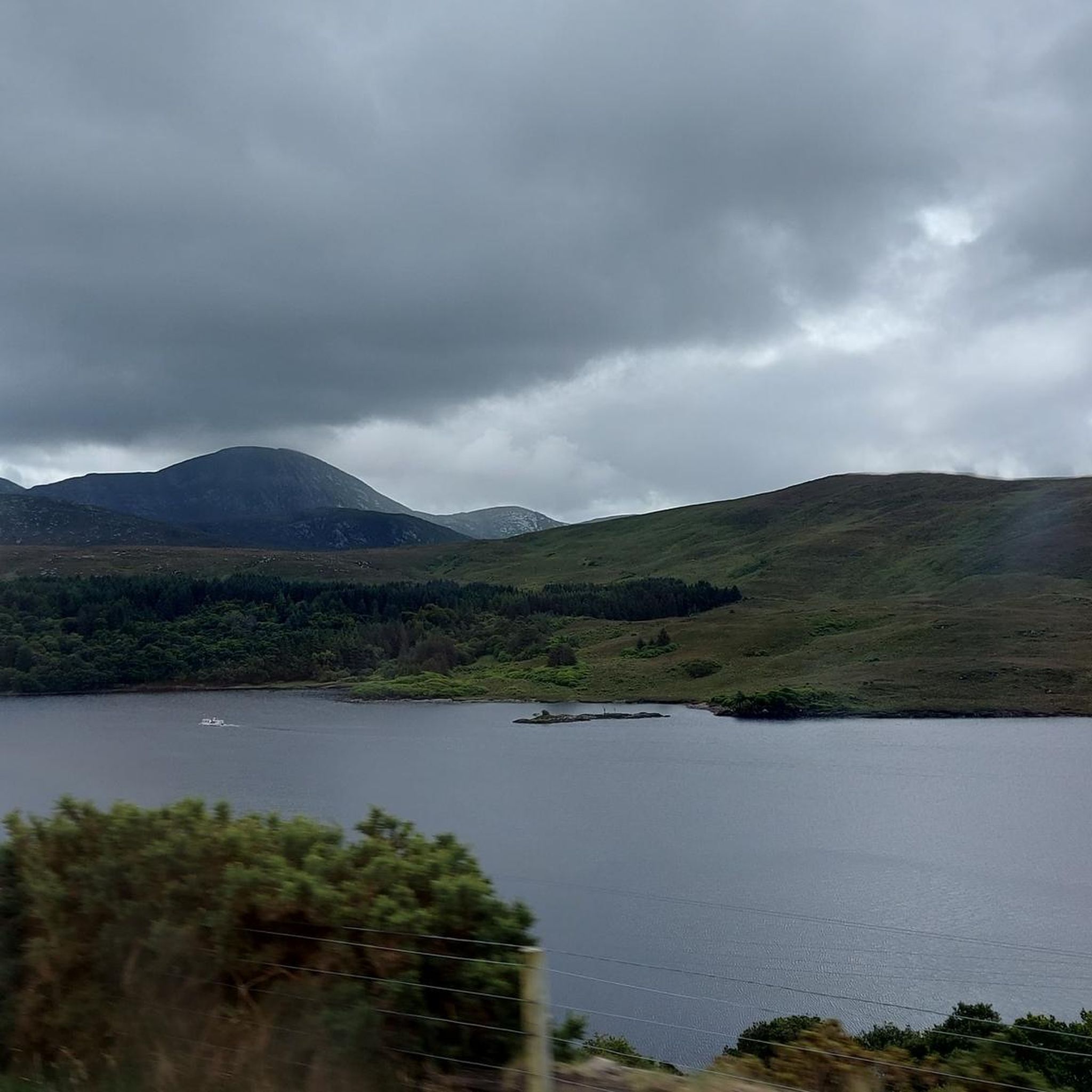
Road cycling around Lough Barra offers routes through a landscape characterized by the rugged Derryveagh Mountains, expansive blanket bogs, and the serene freshwater lake itself. The area is situated near Glenveagh National Park, providing a backdrop of diverse habitats from exposed rock to river valleys. Cyclists can expect varied terrain, including paved surfaces and some unpaved segments, winding through scenic valleys. The region's natural features, such as the Lough Barra Bog Nature Reserve and the Gweebarra River Valley, contribute to…
Last updated: June 29, 2026
4
riders
Moderate road ride. Good fitness required. Mostly well-paved surfaces and easy to ride.
3
riders
29.6km
01:22
260m
260m
Easy road ride. Great for any fitness level. Mostly well-paved surfaces and easy to ride.

Sign up for free
5
riders
28.2km
01:17
290m
290m
Easy road ride. Great for any fitness level. Mostly well-paved surfaces and easy to ride.
3
riders
38.8km
01:43
330m
330m
Moderate road ride. Good fitness required. Mostly well-paved surfaces and easy to ride.
3
riders
42.6km
02:05
460m
460m
Moderate road ride. Good fitness required. Mostly well-paved surfaces and easy to ride.
Our route recommendations are based on thousands of hikes, rides, and runs completed by other people on komoot.
Start today with a free account
Your next adventure awaits.
Login or Signup
Popular around Lough Barra
Tips from the Community

Dunlewey lies at the foot of Mount Errigal, on the shore of the tranquil Dunlewey Lough. The village forms one of West Donegal’s most characteristic spots: a combination of rugged mountains, open water and the iconic ruin of the old church overlooking the lake. The area breathes Gaeltacht culture and silence — broad vistas, peat fields and the sharp silhouette of Errigal constantly hanging over the landscape. Dunlewey is a natural hub between the valleys of Gweedore, Glenveagh and the Seven Sisters, and a place where Donegal’s landscape comes together in its most dramatic and photogenic way.
4
0
Mount Errigal (751 m) is the highest mountain in Donegal and one of Ireland's most iconic peaks. The mountain is immediately striking with its sharp, pyramid-shaped silhouette and its quartz summit that shines almost white in sunlight. Errigal stands apart from the surrounding hills, giving it a dominant presence from all directions — especially when driving inland from Dungloe, Doochary, or Dunlewey.
5
0
One of the least interesting parts of the bike route.
4
0
Maghery Beach is a long, quiet beach on the west coast of Donegal, enclosed between low dunes and the open Atlantic Ocean. From here you look out over the rocky islands and the rugged coastline towards Crohy Head. The beach feels wide and empty, with only the sound of the waves and the wind sweeping over the dunes.
5
0

This stretch of the Slí An Earagail long-distance trail follows a quiet country lane, providing lovely views of rural Donegal countryside. This is a Gaeltacht (Irish speaking) region of the country where proud traditions and customs are still practised.
0
0
A charming townland on Donegal's Atlantic coast, An Bun Beag (often Anglicised to Bunbeg) has much to offer the walker. A stroll to the beach reveals the enchanting Bád Eddie shipwreck, one of the region's iconic sights. It forms the foreground to another icon, the distant Errigal, one of Ireland's most recognisable mountains. The village and neighbouring Doirí Beaga (Derrybeg) are home to a few accommodation options and places to eat and drink.
0
0
The gravel trail along the south shore of Lough Nacung and on to the River Clady is popular with both hikers and cyclists. The views towards the rugged quartzite peak of Errigal are magnificent along this stretch. Few mountains in Ireland are as shamelessly photogenic.
0
0
Superbly situated at the foot of mighty Errigal in the fabled Poisoned Glen, Dunlewy has much to offer the intrepid hiker. There's the Lakeside Centre at Dunlewy Lough for meals, information and boat trips on the lake. A hike up to the spectacular twin summits of Errigal is a must for keen hillwalkers. The village has a number of accommodation options, including the Errigal Hostel.
1
0
Frequently Asked Questions
What kind of terrain can I expect when road cycling around Lough Barra?
The terrain around Lough Barra offers a mix of paved surfaces, with some routes potentially including unpaved segments. You'll cycle through scenic valleys with impressive vistas of the rugged Derryveagh Mountains and past expansive blanket bogs, providing a varied and engaging experience.
Are there road cycling routes suitable for beginners or those looking for an easier ride?
Yes, Lough Barra offers several easy road cycling routes. For instance, the Dunlewy Lough – Lough Nacung loop from Errigal is an easy 18.4-mile path with an elevation gain of 837 feet, offering views of local loughs and hills. Another easy option is the Lough Finn loop from Doocharry, a 17.5-mile trail through the Gweebarra River Valley.
What are some of the natural features or landmarks I might see while cycling in the Lough Barra area?
Road cycling routes in the Lough Barra area often showcase stunning natural features. You'll encounter the serene freshwater Lough Barra itself, and many routes offer views of the dramatic Derryveagh Mountains. The region is also home to the significant Lough Barra Bog Nature Reserve, a protected lowland blanket bog, and is situated near Glenveagh National Park, providing a backdrop of diverse habitats.
Are there any longer or more challenging road cycling routes available?
For those seeking a more challenging ride, there are moderate routes with greater elevation. The Glasserchoo Upper Road loop from Gortahork is a moderate 23.9-mile route with a total elevation gain of 1029 feet. Another moderate option is the Donegal cycle route road loop from Doocharry, which covers nearly 40 km and features over 440 meters of ascent.
What is the best time of year for road cycling around Lough Barra?
The area around Lough Barra is beautiful year-round, but for road cycling, spring through autumn generally offers the most favorable weather conditions. These seasons provide milder temperatures and less chance of harsh winds or rain, making for a more enjoyable ride through the scenic valleys and mountain backdrops.
Can I find circular road cycling routes in the Lough Barra region?
Yes, many of the road cycling routes around Lough Barra are designed as loops, allowing you to start and finish in the same location. Examples include the Glasserchoo Upper Road loop from Gortahork, the Dunlewy Lough – Lough Nacung loop from Errigal, and the Lough Finn loop from Doocharry.
What makes the Lough Barra Bog Nature Reserve significant for cyclists passing through?
The Lough Barra Bog Nature Reserve is a legally protected lowland blanket bog and a Ramsar site, crucial for biodiversity. While cycling through the Gweebarra River Valley, you'll be passing through this unique habitat, which supports protected bird species like the Greenland White-fronted Goose, Merlin, and Golden Plover, offering a chance to observe diverse wildlife in a pristine natural setting.
How many road cycling routes are available in the Lough Barra area?
There are several road cycling routes available around Lough Barra. This guide features 5 distinct routes, offering a variety of distances and difficulty levels to explore the region's unique landscape.
What do other road cyclists enjoy most about cycling in Lough Barra?
Road cyclists often praise the stunning natural landscapes, including the dramatic Derryveagh Mountains and the tranquil Lough Barra. Many appreciate the varied terrain and the opportunity to explore protected natural areas like the Lough Barra Bog Nature Reserve, making for an immersive outdoor experience.
Are there any routes that pass by multiple loughs or bodies of water?
Yes, routes like the Dunlewy Lough – Lough Nacung loop from Errigal offer views of multiple local loughs and surrounding hills, providing picturesque scenery throughout your ride. The Toome Lough – Lough More loop from Doocharry also takes you past several bodies of water.
Most popular routes around Lough Barra

Get inspired with the komoot mobile app


Explore more
Browse the best Road cycling routes in other regions.
