The best running trails around Smyrna
4.5
(10)
1,747
runners
72
runs
Jogging routes around Smyrna, Georgia, offer a diverse landscape for outdoor activity, characterized by numerous green spaces and accessible pathways. The region features a mix of paved trails, natural surface paths, and riverine environments, providing varied terrain for runners. Many routes follow abandoned railroad lines or wind through local parks, offering mostly flat to gently rolling elevations. This network of trails caters to different preferences, from leisurely jogs to more challenging runs.
Best jogging routes around Smyrna
- The most popular…
Last updated: September 30, 2026
5.0
(1)
39
runners
4.49km
00:29
60m
60m
Easy run. Great for any fitness level. Mostly paved surfaces. Suitable for all skill levels.
25
runners
8.46km
00:54
80m
80m
Moderate run. Good fitness required. Mostly paved surfaces. Suitable for all skill levels.

27
runners
Moderate run. Good fitness required. Mostly paved surfaces. Suitable for all skill levels.
30
runners
Moderate run. Good fitness required. Mostly paved surfaces. Suitable for all skill levels.
5.0
(1)
17
runners
6.74km
00:45
110m
110m
Moderate run. Good fitness required. Mostly paved surfaces. Suitable for all skill levels.
Get access to more routes and recommendations from other explorers.
Already have an account?
Our route recommendations are based on thousands of hikes, rides, and runs completed by other people on komoot.
Start today with a free account
Your next adventure awaits.
Tips from the Community

Silver Comet Trail is one of the best long-distance paved trails I ever took. What I love most about this trail is that you can ride for miles without worrying about traffic, thanks to its wide, smooth path built on a former railroad corridor. One of the highlights is passing through the historic Brushy Mountain Tunnel, a 768-foot tunnel that stays cool even on hot summer days. The trail also offers beautiful views of forests, open farmland, and several wooden bridges along the way. If you're training for a long ride or just want a peaceful day on the bike, Silver Comet Trail is hard to beat.
0
0

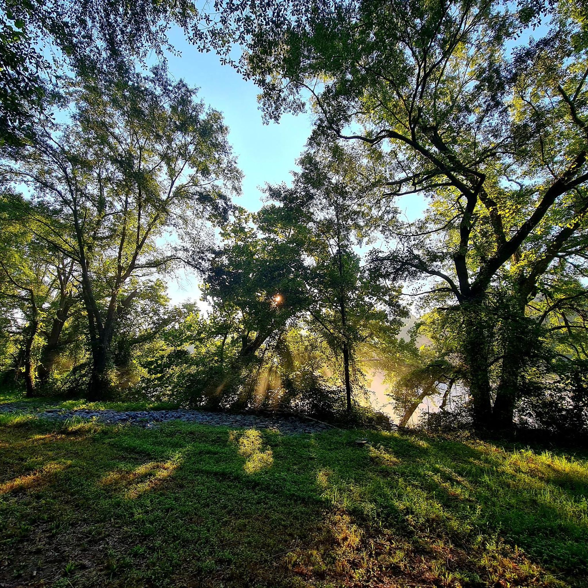
The Chattahoochee River begins in northeastern Georgia and winds its way through Atlanta’s western suburbs before merging with the Flint River to form Florida’s Apalachicola River. Its name, meaning “painted rock,” comes from the Cherokee language. The river is central to the Chattahoochee River National Recreation Area, established in 1978. Further south, it flows through Lake Eufaula, part of a protected wildlife refuge known for its birdlife, located on the border of Georgia and Alabama.
0
0

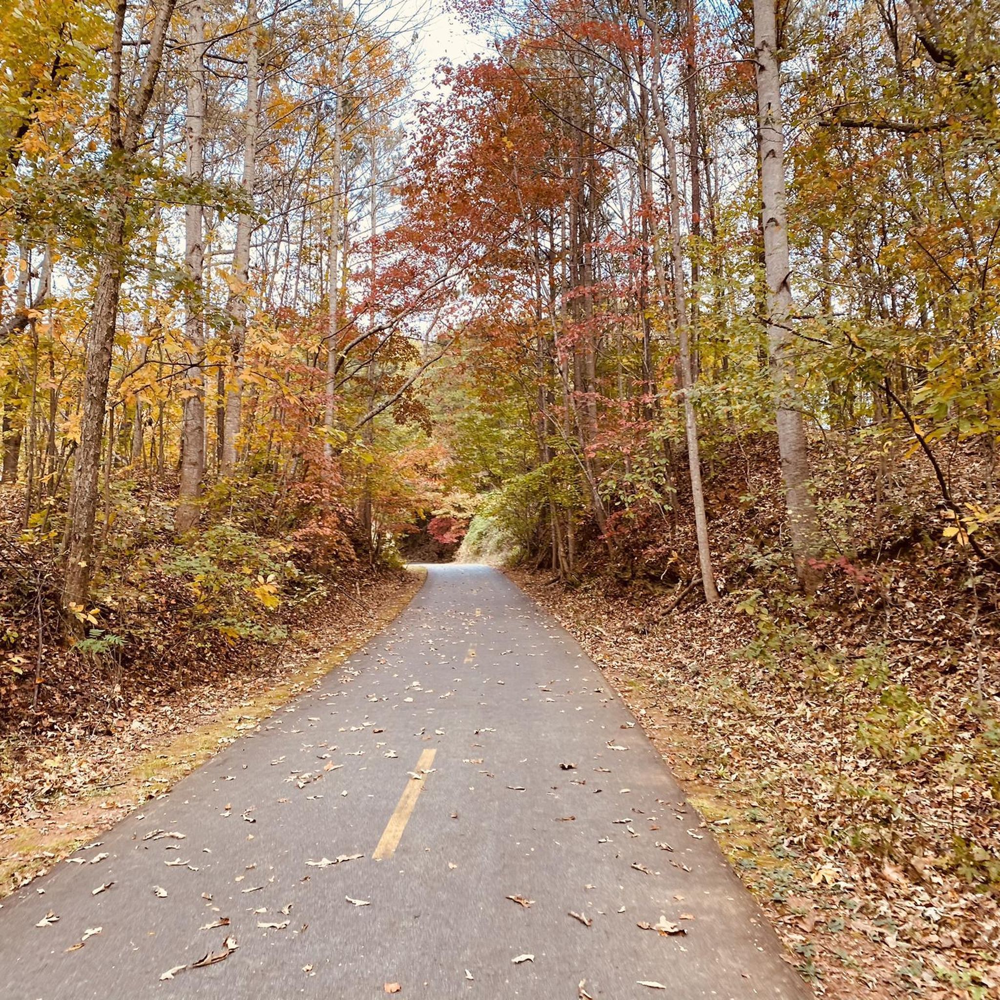
This quiet, paved rail trail is open to almost all non-motorized uses. Long sections of it wind through forested greenways, making for a really nice ride.
0
0

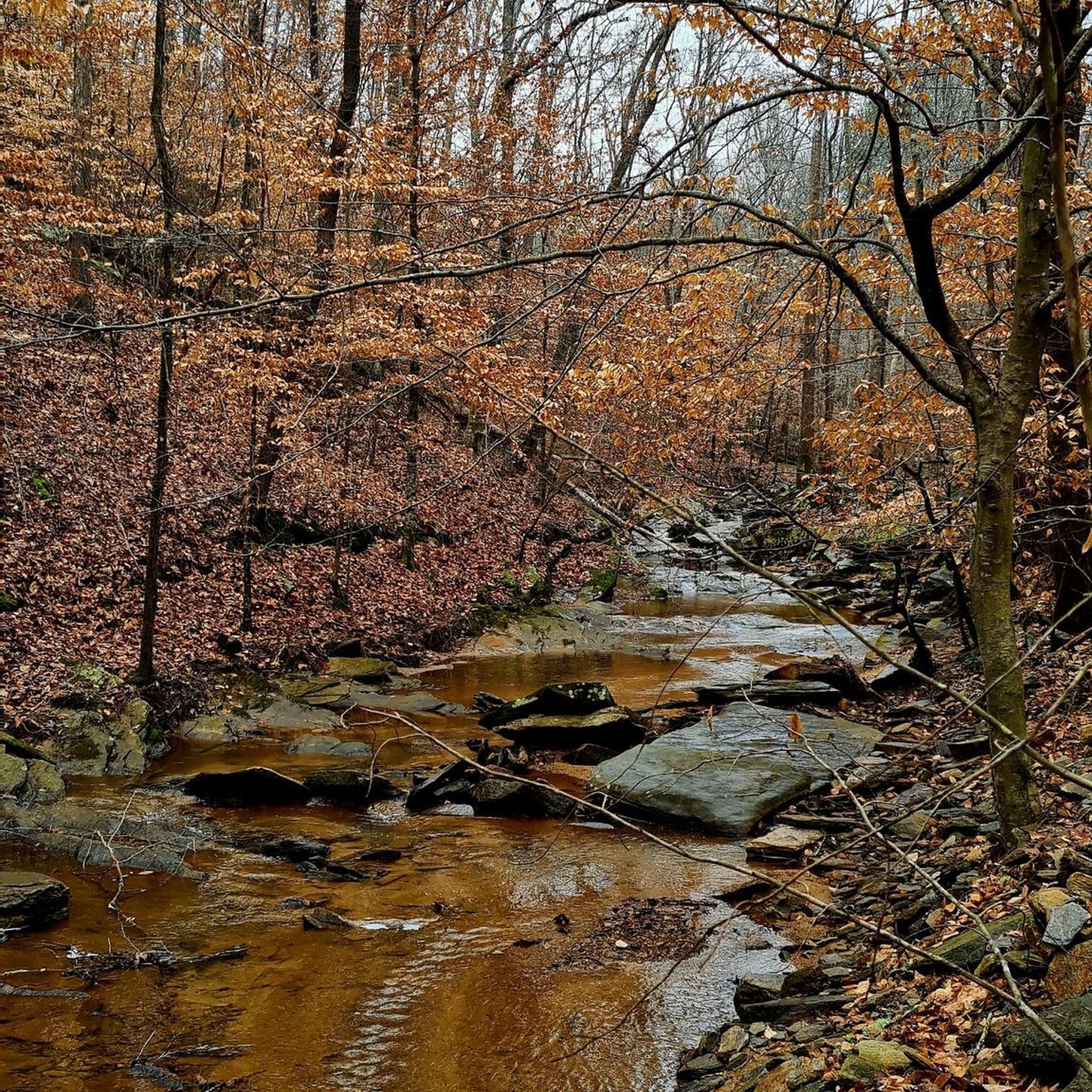
This stream is over 45 miles long and ends just outside of the state park. It's a common kayaking destination.
0
0
The Lester and Virginia Maddox Bridge crosses the Chattahoochee River in two places, as it is split by an island called Long Island.
0
0
The Lester and Virginia Maddox Bridge crosses the Chattahoochee River in two places as it is split by an island called Long Island.
0
0
Frequently Asked Questions
What kind of terrain can I expect on running routes in Smyrna?
Smyrna offers a diverse range of running terrain. You'll find everything from extensive paved trails, like sections of the Silver Comet Trail, to natural surface paths and gravel loops within local parks. Many routes follow abandoned railroad lines or wind through green spaces, providing mostly flat to gently rolling elevations. For example, Marietta Paper Mills loop from Cochran Shoals Parking Area features varied terrain with some elevation changes near the river.
Are there any easy or beginner-friendly jogging routes in Smyrna?
Yes, Smyrna has several easy options perfect for beginners or a leisurely jog. Parks like Jonquil Park offer flat concrete pathways, and River Line Park provides flat walking and running loops with mostly concrete and some packed gravel surfaces. A good example from the komoot community is the Running loop from Truist Park, which is an easy 2.8-mile trail through urban green spaces.
Where can I find longer running trails in the Smyrna area?
For longer runs, the Silver Comet Trail is an excellent choice, starting in Smyrna and extending for 61.5 miles. Within the immediate area, the Marietta Paper Mills loop from Cochran Shoals Parking Area offers a more challenging 9.5-mile path with varied terrain. North Cooper Lake Park also provides extensive walking trails within its 51-acre green space.
Are there any scenic running routes or natural features to see while jogging in Smyrna?
Absolutely! Smyrna's routes often feature scenic settings. The Arboretum and Pond adjacent to the Smyrna Community Center offers a pleasant walking trail. For river views, the East Palisades Trail provides a challenging run along the Chattahoochee River. You can also explore highlights like Cochran Shoals, Chattahoochee River National Recreation Area, or the tranquil Sibley Pond.
What do other runners say about the jogging routes in Smyrna?
The running routes in Smyrna are highly regarded by the komoot community, with an average score of 4.4 stars from more than 5 reviews. Over 800 runners have used komoot to explore the varied terrain, often praising the accessibility of the trails and the diverse landscapes from paved paths to more natural, hilly terrains.
Are there any parks in Smyrna with dedicated running loops or facilities like water fountains?
Yes, River Line Park is a great option, offering flat running loops of varying lengths (approximately 0.46, 0.28, and 0.32 miles) with mostly concrete and some packed gravel surfaces. It also includes convenient water fountains along the paths. Jonquil Park also has a flat concrete pathway winding around its soccer fields, spanning about 0.25 miles.
Can I find running routes that are suitable for families or those with strollers?
Many of Smyrna's parks offer paved and flat pathways ideal for families and strollers. Taylor-Brawner Park features beautifully landscaped walking and biking trails. The Silver Comet Trail, with its extensive paved and flat surface, is also very family-friendly. Jonquil Park's flat concrete path is another accessible option.
Are there any challenging running trails for more experienced runners in Smyrna?
For experienced runners seeking a challenge, the East Palisades Trail is a difficult 4.0-mile route along the Chattahoochee River. Another demanding option is the Marietta Paper Mills loop from Cochran Shoals Parking Area, a difficult 9.5-mile path with varied terrain and elevation changes. Kennesaw Mountain National Battlefield Park, a short drive away, also provides extensive trail systems for more serious workouts.
Are there any circular running routes available in Smyrna?
Yes, many of Smyrna's park trails are designed as loops. River Line Park offers several distinct running loops. The Running loop from Truist Park is a popular 2.8-mile circular route through urban green spaces. The Sweetwater Creek loop from Truist Park also provides a moderate 6.8 km circular option.
What are some notable landmarks or points of interest near Smyrna's running trails?
Beyond the trails themselves, you can find several interesting landmarks. The Silver Comet Trail: Smyrna to Powder Springs is a significant local feature. Nearby, you can explore historical sites like Pigeon Hill or the Confederate Four Gun Artillery Battery. For natural beauty, consider visiting Kennesaw Mountain Summit or Little Kennesaw Mountain Summit.
Are there running routes in Smyrna that are accessible by public transport or have good parking options?
Many of Smyrna's parks, such as Tolleson Park, River Line Park, and Taylor-Brawner Park, offer dedicated parking facilities. While specific public transport details vary, the urban location of routes like the Running loop from Truist Park often means they are more accessible via local transport options or have nearby parking.
How many running routes are available in and around Smyrna?
There are over 45 running routes available in and around Smyrna, catering to various preferences and fitness levels. These include 8 easy routes, 26 moderate routes, and 11 difficult routes, ensuring there's something for every runner.
Most popular attractions around Smyrna

Get inspired with the komoot mobile app


Explore more
Browse the best Running Trails & Routes in other regions.
