The best road cycling routes around Ballyquirke Lough
4.7
(23)
1,880
riders
31
rides
Road cycling around Ballyquirke Lough offers routes through the Irish countryside, characterized by a mix of lough-side roads and rolling terrain. The region features a landscape of freshwater loughs, open fields, and occasional coastal views, providing varied cycling experiences. Road cyclists can expect routes that traverse rural areas, connecting small villages and offering glimpses of local landmarks. The elevation gains are generally moderate, with some routes including more challenging climbs.
Best road cycling routes around Ballyquirke Lough
- The most popular…
Last updated: September 27, 2026
161km
06:27
840m
840m
Hard road ride. Very good fitness required. Mostly well-paved surfaces and easy to ride.
168km
06:51
890m
890m
Hard road ride. Very good fitness required. Mostly well-paved surfaces and easy to ride.

50
riders
93.3km
03:44
470m
470m
Moderate road ride. Good fitness required. Mostly well-paved surfaces and easy to ride.
5.0
(1)
33
riders
Moderate road ride. Good fitness required. Mostly well-paved surfaces and easy to ride.
8
riders
48.0km
01:58
230m
230m
Easy road ride. Great for any fitness level. Mostly well-paved surfaces and easy to ride.
Get access to more routes and recommendations from other explorers.
Already have an account?
Our route recommendations are based on thousands of hikes, rides, and runs completed by other people on komoot.
Start today with a free account
Your next adventure awaits.
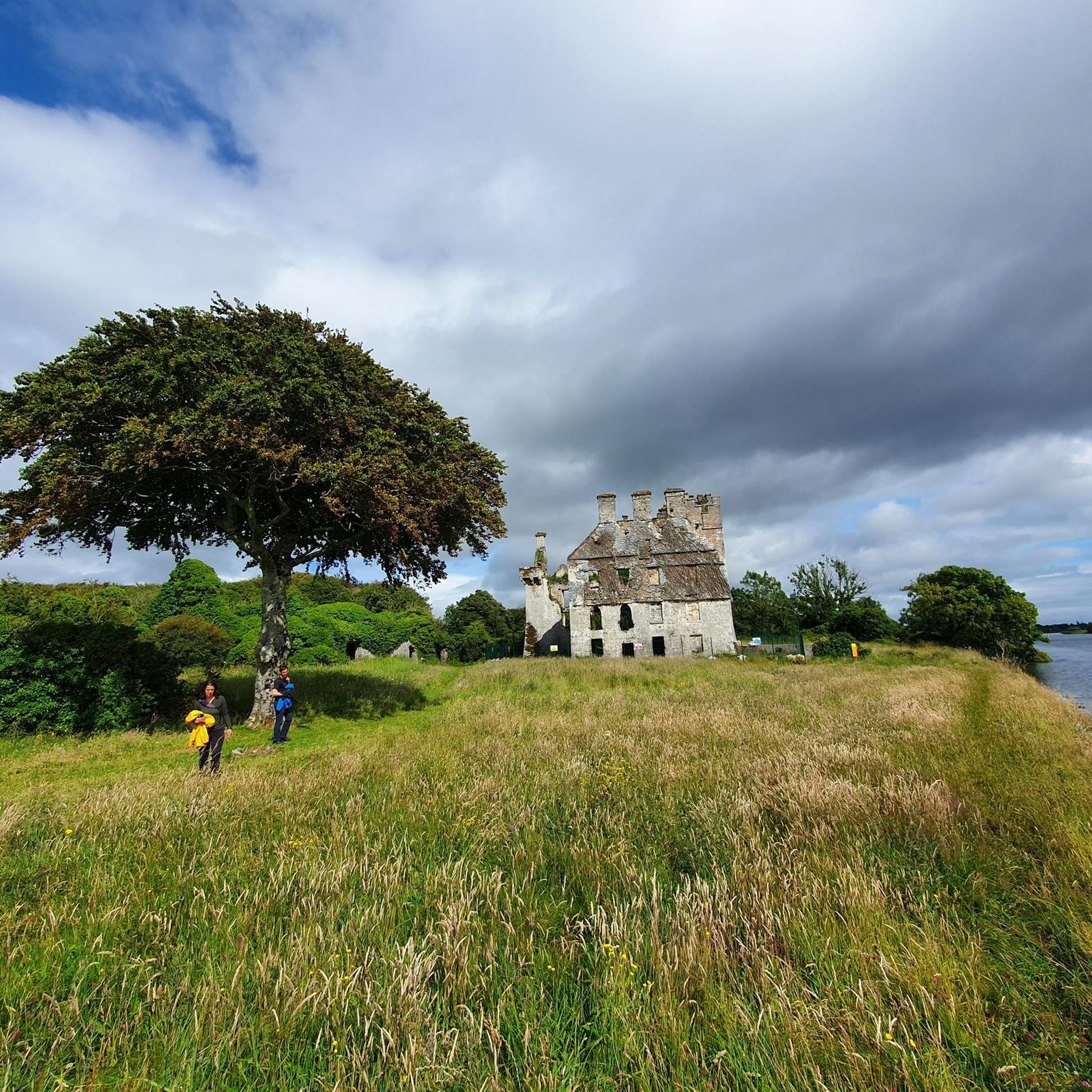

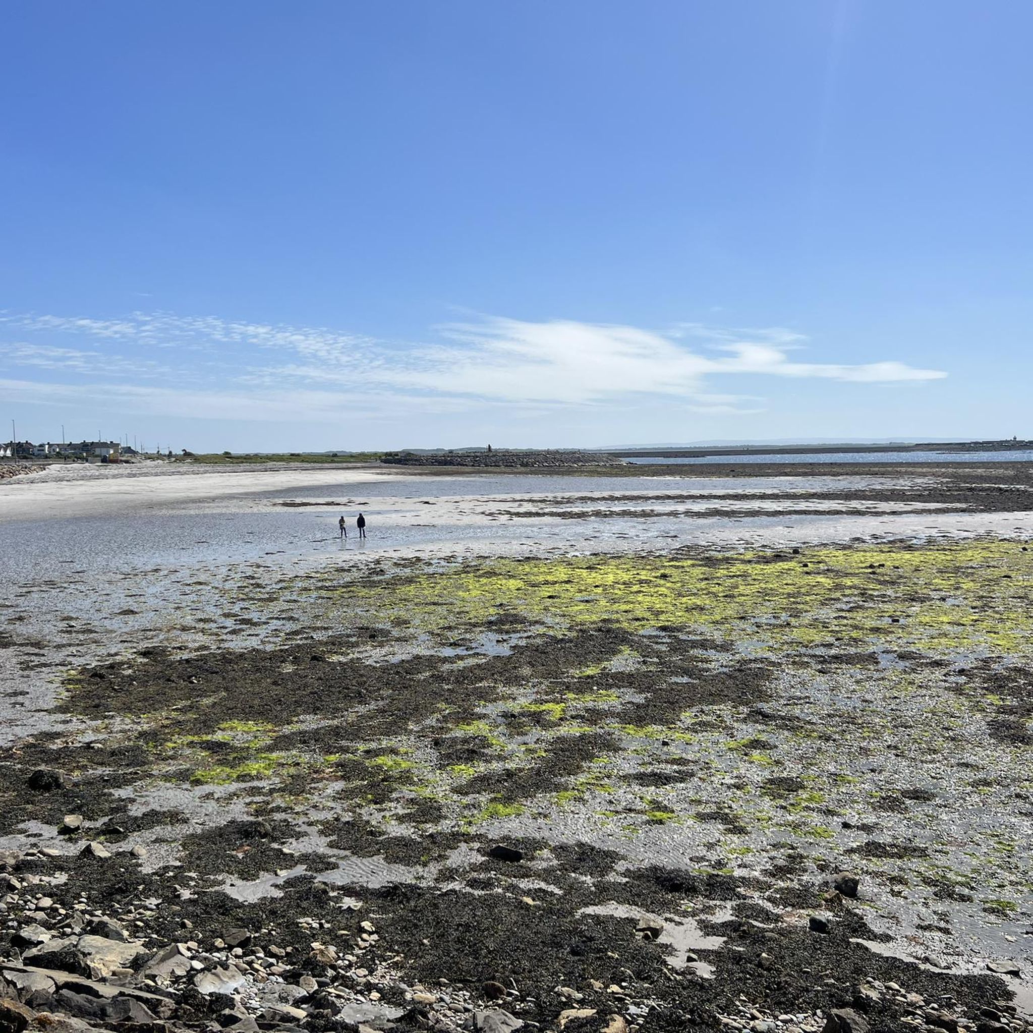
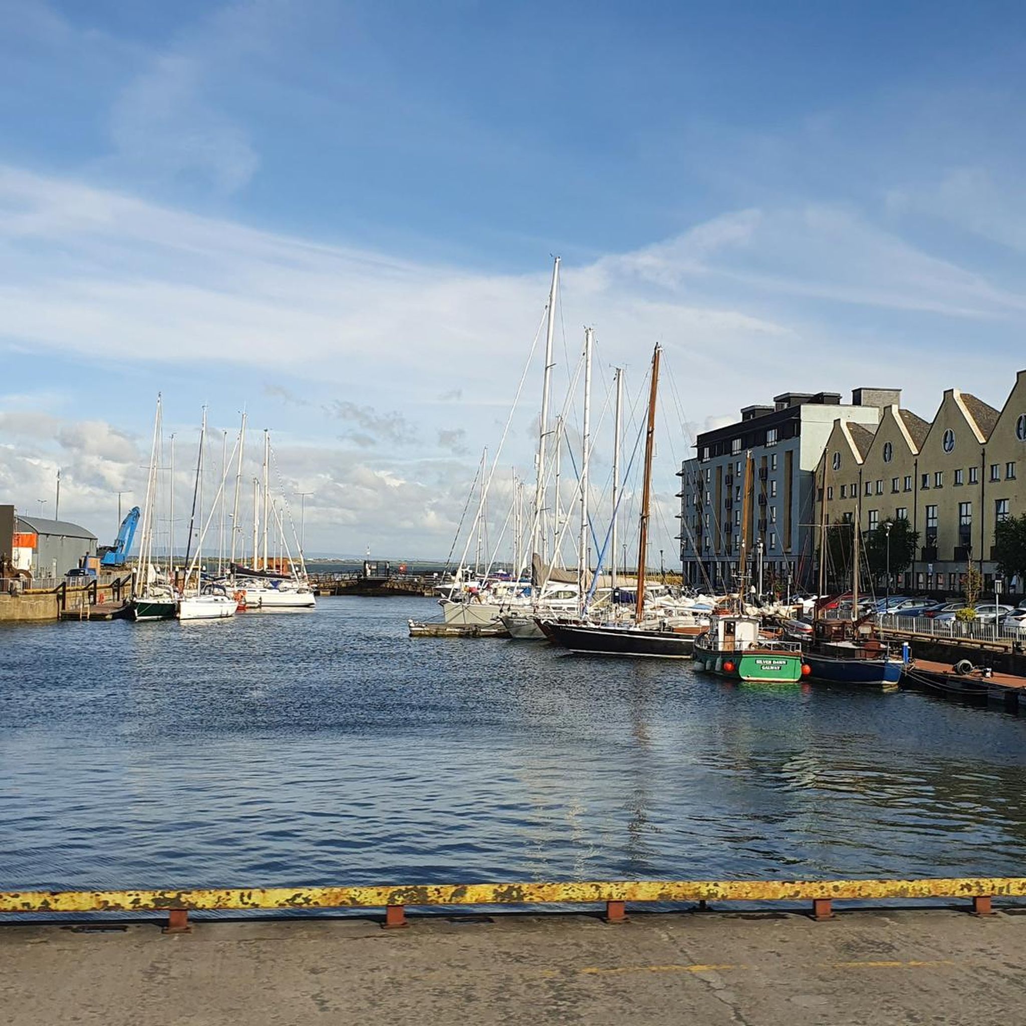
Tips from the Community

An Tuliagh (Tully) is a village in Connemara's Renvyle Peninsula, situated on the route of the Wild Atlantic Way. It's a remote and historic part of Galway, with links to Saint Colmcille. There are many possible walks in the area, though hillwalking enthusiasts would do well to venture north to seek out the Twelve Bens, a stunning mountain range.
0
0

Incredible place! We passed by on 17/08/2026 and there was a sign that said the road was closed, but with bikes we managed to pass without problems. There is a small bridge that is dangerous for cars, but with bikes you can pass without problems. In any case, the height of the bridge is very low, even if you had to pass through the stream below, I don't think there would be any problems.
0
0

Small idyllic island with pine trees
0
0

Lively scene, many pubs and a lot of tourists.
0
0

This historic stone arch bridge marks the spectacular entrance to Clifden. From the bridge, you look down on the wild rapids of the Owenglin River, which thunders down here via a series of small waterfalls into the bay. The contrast between the crashing water, the old grey stone, and the colourful facades of the town further on is magnificent.
6
0
The charming fishing village of Roundstone, with its colourful houses and active harbour, is the ideal place for a stop. You'll find excellent fresh fish here (try the chowder!) and a lively atmosphere. For cyclists, the road along the bay is relatively flat, but be aware of the wind that has free rein here from the Atlantic Ocean.
7
0
An open coastal road along the southern edge of Galway Bay, with constant views of the ocean, low granite coastlines, and the villages of the Gaeltacht. On clear days, you can see the Aran Islands to the southwest. The landscape alternates between small beaches, rocky coves, and quiet rural stretches, ideal as a smooth connecting strip towards Spiddal and Connemara.
6
0
The imposing Cill Éinde (St. Enda's Church) is the architectural gem of Spiddal. This church, built at the beginning of the 20th century (1904), stands out with its robust Irish limestone and the beautiful stained-glass windows by the famous Harry Clarke school.
6
0
Frequently Asked Questions
How many road cycling routes are available around Ballyquirke Lough?
There are over 30 road cycling routes around Ballyquirke Lough, catering to various skill levels. This includes 17 easy routes, 14 moderate routes, and 2 more challenging options.
Are there easy road cycling routes suitable for beginners around Ballyquirke Lough?
Yes, Ballyquirke Lough offers several easy routes perfect for beginners. An example is the Aughnanure Castle – View of Lough Corrib loop from Moycullen, which is 48 km long and features moderate elevation gains, making it a great introduction to the area's cycling.
What are some challenging road cycling routes in the Ballyquirke Lough area?
For experienced cyclists seeking a challenge, routes like the Lough Corrib and Lough Mask loop offer significant distances and elevation gains. This particular route spans nearly 161 km with over 800 meters of ascent, connecting two major loughs.
Are there any circular road cycling routes around Ballyquirke Lough?
Many of the routes around Ballyquirke Lough are circular, allowing you to start and finish at the same point. The View of the Irish Countryside – Rural Road Near Moycullen loop from Cloonboo is a popular 37.7 km circular route that showcases the rural landscapes.
What kind of scenery can I expect on road cycling routes around Ballyquirke Lough?
Road cycling around Ballyquirke Lough offers diverse scenery, from lough-side roads and open fields to occasional coastal views. Routes often traverse rural areas, connecting small villages and providing glimpses of the Irish countryside. You might also encounter historical sites like Aughnanure Castle.
What do other road cyclists enjoy most about road cycling in Ballyquirke Lough?
The area is highly rated by the komoot community, with an average score of 4.8 stars. Reviewers often praise the varied terrain, the mix of lough-side paths and rolling countryside, and the opportunity to explore rural Ireland on two wheels.
Are there cafes and pubs near the road cycling routes for a break?
While specific establishments are not listed in the route details, the routes often connect small villages and pass through rural areas where you can typically find local cafes or pubs for refreshments. Moycullen, for instance, is a village often featured in route names and would offer such amenities.
What is the best time of year to go road cycling around Ballyquirke Lough?
The best time for road cycling around Ballyquirke Lough is generally during the warmer, drier months from late spring to early autumn (May to September). This period offers more favorable weather conditions, though the Irish climate can be unpredictable, so always check the forecast.
What should I wear for road cycling in the Ballyquirke Lough region?
Given the variable Irish weather, it's advisable to wear layers that can be adjusted. Waterproof and windproof outer layers are recommended, even in summer, along with appropriate cycling gear for comfort and safety. Helmets are essential.
Are there any routes that offer scenic viewpoints or notable landmarks?
Yes, several routes offer scenic views and pass by landmarks. The Aughnanure Castle – View of Lough Corrib loop from Moycullen, for example, provides views of Lough Corrib and passes by the historic Aughnanure Castle. Other routes explore coastal areas, offering expansive vistas.
How can I find parking for road cycling routes around Ballyquirke Lough?
Parking availability varies by starting point. Many routes begin in or near villages like Moycullen or Cloonboo, where public parking might be available. It's recommended to check the specific komoot tour page for details on parking at the trailhead or starting point of your chosen route.
What is the typical distance and elevation gain for road cycling routes in this area?
Distances vary significantly, from shorter loops of around 37 km, like the View of the Irish Countryside – Rural Road Near Moycullen loop from Cloonboo with about 300 meters of elevation, to challenging long-distance rides over 160 km with nearly 900 meters of ascent, such as the Maam cross, Ballyconnely and Kilkieran coast loop from Moycullen.
Most popular routes around Ballyquirke Lough

Get inspired with the komoot mobile app


Explore more
Browse the best Road cycling routes in other regions.
