The best walks and hikes around Kiltooris Lough
4.6
(16)
65
hikers
9
hikes
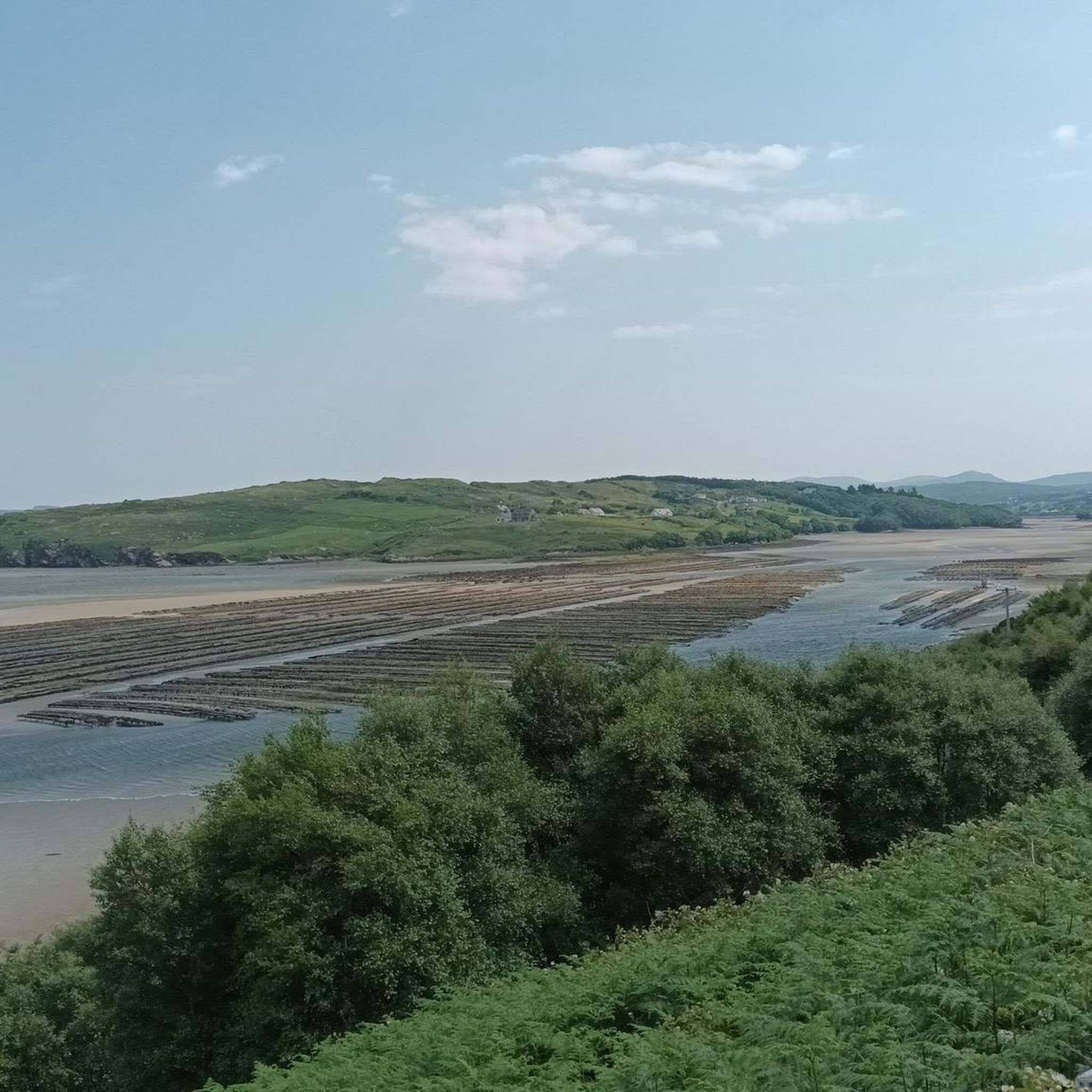
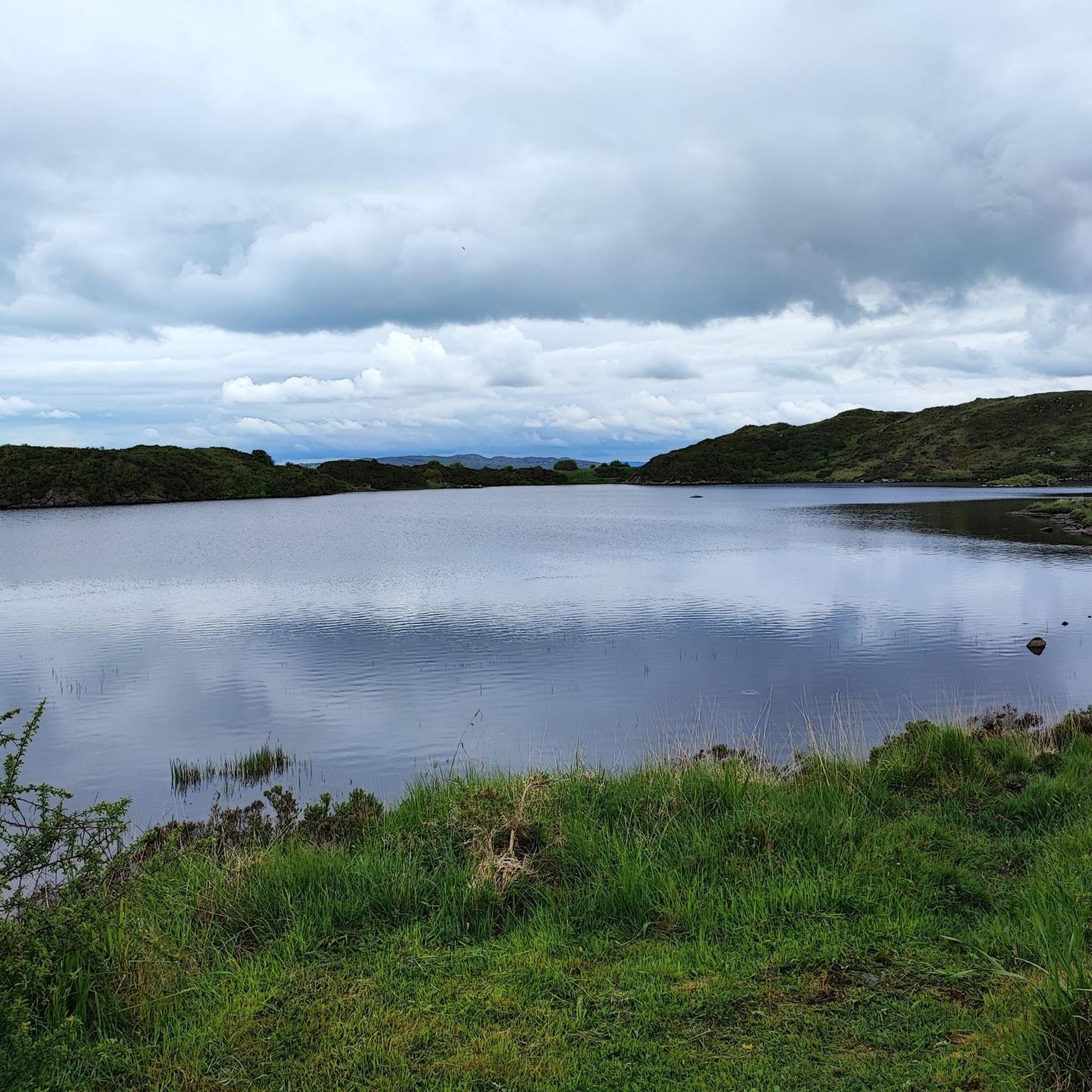
Hiking around Kiltooris Lough offers diverse landscapes centered around a freshwater lake in southwest County Donegal, Ireland. The lake, approximately 1.5 km long and 0.5 km wide, is part of the West of Ardara/Maas Road Special Area of Conservation. The region features picturesque views that often combine the tranquil lake with expansive sea vistas. Trails range from accessible paths to more challenging routes, catering to various fitness levels.
Best hiking trails around Kiltooris Lough
- The most popular hiking route is…
Last updated: June 25, 2026
1
hikers
6.90km
01:45
50m
40m
Easy hike. Great for any fitness level. Easily-accessible paths. Suitable for all skill levels.
4.0
(2)
2
hikers
12.7km
03:24
150m
150m
Moderate hike. Good fitness required. Easily-accessible paths. Suitable for all skill levels.

Sign up for free
4.0
(2)
2
hikers
11.3km
03:04
150m
150m
Moderate hike. Good fitness required. Easily-accessible paths. Suitable for all skill levels.
5.0
(1)
4
hikers
7.29km
01:58
100m
100m
Easy hike. Great for any fitness level. Easily-accessible paths. Suitable for all skill levels.
5.0
(4)
24
hikers
5.88km
01:33
50m
50m
Easy hike. Great for any fitness level. Easily-accessible paths. Suitable for all skill levels.
Get access to more routes and recommendations from other explorers.
Sign up for free
Already have an account?
Our route recommendations are based on thousands of hikes, rides, and runs completed by other people on komoot.
Start today with a free account
Your next adventure awaits.
Login or Signup
Popular around Kiltooris Lough

Tips from the Community

Tucked away on Ireland’s rugged north-west coast, Tramore Strand is a wild and windswept beach backed by rolling dunes and sweeping Atlantic views. The broad sandy strand is popular for water sports, especially surfing, bodyboarding and kitesurfing when the coastal winds pick up.
0
0
Here you'll find a scenic footpath running parallel to Tramore Beach, just behind the camping and caravan park. It weaves through a series of undulating grassy sand dunes, rich in wildlife and dotted with shallow pools of seawater that collect between the dunes, creating a unique coastal habitat.
0
0

Enougth space, but costs 4eur per car.
0
0

The waterfall is located right off the road, and there's a small parking lot nearby. From here, the path to the beach and the cave isn't far.
0
0

Go into the caves at low tide.
0
0

Beautiful waterfall along the coastal road! Recommend checking it out if you're in the area!
1
0

The tide does come in very quickly, so best to visit an hour or two before a very low tide if you want to explore the caves.
1
0
Beautiful walk at low tide -but do keep an eye on the tides so you don't get cut off. You have to cross a small river at calf depth to get to the beach.
2
0
Frequently Asked Questions
How many hiking trails are available around Kiltooris Lough?
There are over 8 hiking trails around Kiltooris Lough, offering a variety of experiences for different skill levels. These routes are highly rated by the komoot community, with an average score of 4.4 stars.
Are there hiking trails suitable for beginners or families around Kiltooris Lough?
Yes, Kiltooris Lough offers several easy hiking options perfect for beginners or families. For example, the Pound Lough loop from Inishkeel is an easy 4.5-mile (7.3 km) trail that takes less than two hours to complete. Another accessible option is the Maghera Caves – Assaranca Waterfall loop from Maghera Waterfall, which is just under 5 km and also considered easy.
What kind of challenges can I expect on more difficult hikes in the area?
While most trails around Kiltooris Lough are easy to moderate, there is at least one more challenging route. These typically involve longer distances and greater elevation gains, requiring good fitness. For instance, the Maghera Beach and Caves – Assaranca Waterfall loop from Maghera is a moderate 14.9 km hike with nearly 300 meters of elevation gain, taking over four hours to complete.
What is the typical duration for hikes around Kiltooris Lough?
Hikes around Kiltooris Lough vary significantly in duration. Shorter, easier routes like the Pound Lough loop from Inishkeel can be completed in under two hours. Longer, moderate trails, such as the Tramore Beach – View of the Lake and Sea loop from Dawros ED, can take over three hours, while some extended loops might require more than five hours.
Are there any circular walking routes around Kiltooris Lough?
Yes, many of the popular routes around Kiltooris Lough are circular, allowing you to start and end at the same point. Examples include the Tramore Beach – View of the Lake and Sea loop from Dawros ED and the View of the Lake and Sea loop from Lackaghmore Cottage(s) Holiday Rental, both offering extensive views of the lake and sea.
Are dogs allowed on the hiking trails around Kiltooris Lough?
Generally, dogs are welcome on hiking trails in rural areas like Kiltooris Lough, especially if kept on a leash. However, it's always advisable to check local signage for any specific restrictions, particularly in nature conservation areas or near livestock. Please ensure you clean up after your dog to preserve the natural environment.
Are there any waterfalls to see along the hiking routes?
Yes, the area around Kiltooris Lough features the beautiful Assaranca Waterfall. You can explore routes that incorporate this natural attraction, such as the Maghera Caves – Assaranca Waterfall loop from Maghera Waterfall, which is an easy 5 km hike.
What kind of views can I expect while hiking around Kiltooris Lough?
Hikers around Kiltooris Lough can expect diverse and picturesque views. Many routes offer stunning vistas that combine the tranquil freshwater lake with expansive sea views, especially from higher points. You'll also encounter varied rural landscapes, including the lake's islands like Inishywadigan and Rossbeg Island, and coastal scenery.
Is there parking available near the hiking trailheads?
While specific parking areas are not detailed for every trailhead, it is generally possible to find parking in the vicinity of popular starting points for hikes around Kiltooris Lough. We recommend checking the individual tour details on komoot for more precise parking information for your chosen route.
Can I reach the Kiltooris Lough hiking trails using public transport?
Public transport options directly to the more remote trailheads around Kiltooris Lough may be limited. It is often more convenient to access these hiking areas by car. We recommend checking local bus schedules or taxi services if you plan to rely on public transport.
What kind of wildlife might I encounter while hiking here?
Kiltooris Lough is part of the West of Ardara/Maas Road Special Area of Conservation (SAC), making it ecologically significant. The lake's clear waters are home to fish species such as salmon, three-spined stickleback, and the critically endangered European eel. Hikers might also spot various bird species and other local fauna in the surrounding natural landscapes.
What do other hikers enjoy the most about hiking in Kiltooris Lough?
The area is highly rated by the komoot community, with an average score of 4.4 stars from over 10 reviews. Reviewers often praise the diverse landscapes that combine tranquil lake views with expansive sea vistas, as well as the variety of trails suitable for different fitness levels. The natural beauty and peaceful atmosphere are frequently highlighted.

Get inspired with the komoot mobile app


Explore more
Browse the best Hikes in other regions.
