The best road cycling routes around Lough Talt
5.0
(3)
49
riders
3
rides
Road cycling around Lough Talt is characterized by its setting within the scenic Ox Mountains of South County Sligo, Ireland. The region features a glacial lake at approximately 426 feet (130 meters) above sea level, providing continuous scenic vistas. Road cycling routes here offer varied terrain, including mostly well-paved surfaces and segments with elevation gain suitable for different fitness levels. The landscape combines mountain backdrops with the protected environment of Lough Talt, which is part of the Lough Hoe Bog…
Last updated: May 17, 2026
1
riders
46.1km
02:09
470m
470m
Moderate road ride. Good fitness required. Mostly well-paved surfaces and easy to ride.
2
riders
22.0km
00:54
120m
120m
Easy road ride. Great for any fitness level. Mostly well-paved surfaces and easy to ride.

Sign up for free
5.0
(1)
19
riders
118km
05:11
1,050m
1,050m
Hard road ride. Very good fitness required. Mostly well-paved surfaces and easy to ride.
5.0
(2)
12
riders
56.5km
02:28
420m
420m
Moderate road ride. Good fitness required. Mostly well-paved surfaces and easy to ride.
5
riders
35.2km
01:26
230m
230m
Easy road ride. Great for any fitness level. Mostly well-paved surfaces and easy to ride.
Our route recommendations are based on thousands of hikes, rides, and runs completed by other people on komoot.
Start today with a free account
Your next adventure awaits.
Login or Signup
Popular around Lough Talt
Other adventures around Lough Talt

Tips from the Community

Bridge without historical or architectural value. But it does offer a viewpoint over the river and specifically the Muredach Cathedral.
5
0

Church Village is a tiny hamlet next to the Yellow River. It is well placed on the Larganmore Loop as a place to rest, but don't expect to find much here. The views of the river and churchyard are very pretty though.
0
0

Beautiful views from this road of the Moy Valley and also of the Ox Mountains. It's worth making a stop here for some sustenance - the road is quiet, so you won't get much traffic if resting on its side.
0
0

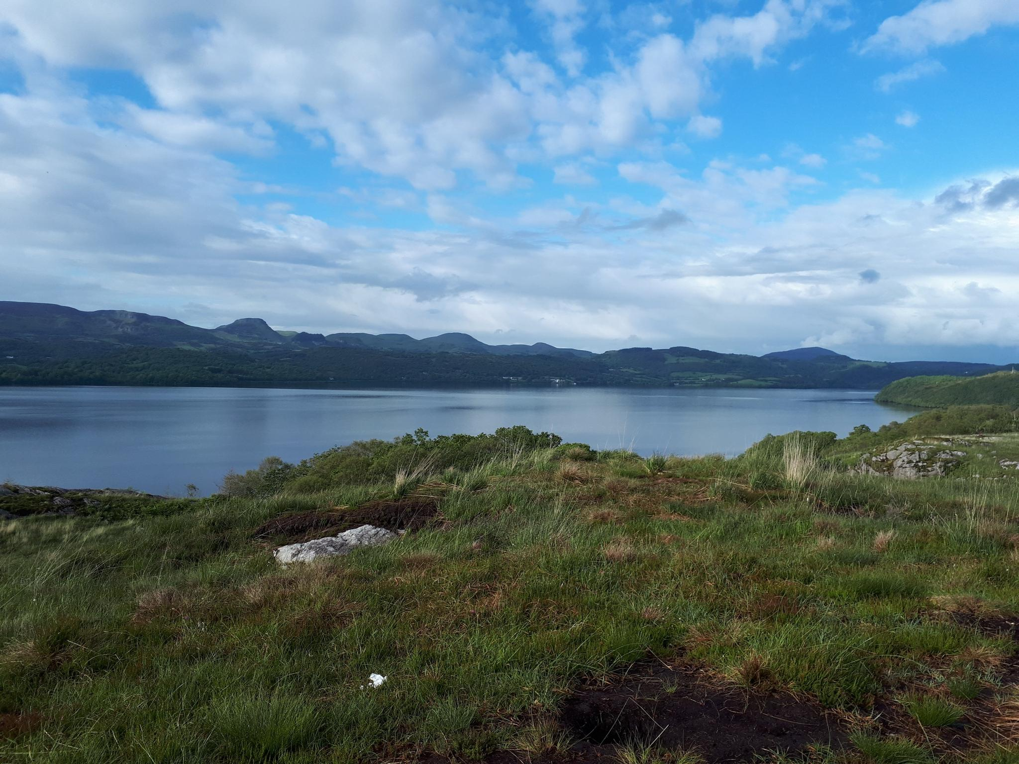
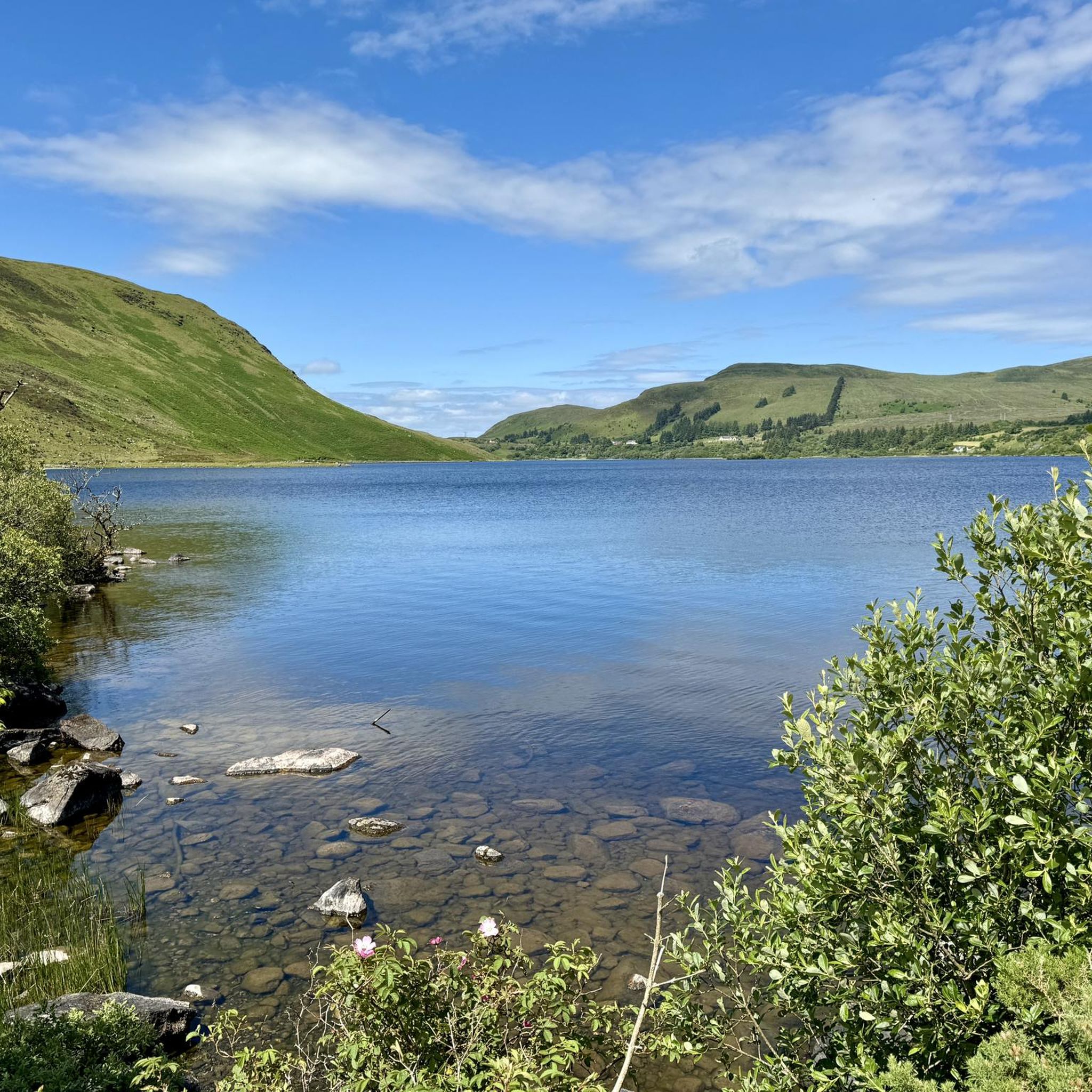
Picturesque Lough Talt is the largest lake in the Lough Hoe Bog area, a region of montane bogland. It's situated just to the east of Windy Gap on the Mayo/Sligo border and marks the start of the Sligo Way long-distance trail. The 3.4-mile (5.5 km) loop around the lake is a very pleasant walk on a good day.
0
0
Windy Gap is a pass between Knockasliggaun and Largan Hill on the Mayo/Sligo border. It forms the end of the Western Trail, a long-distance hiking route through Galway and Mayo. Beyond the Gap is Lough Talt, a picturesque lake in the Ox Mountains that marks the start of the Sligo Way long-distance trail.
1
0
Upper Bridge provides lovely views across Ballina, with the impressive spire of St. Muredach's Cathedral particularly prominent. The bridge takes you across the River Moy, a well-known salmon river. Every July, the town hosts the Ballina Salmon Festival.
1
0


Sitting in the quiet village of Banada lies a quiet park built as a symbol of cross-border reconciliation. The Banada peace gardens were opened in 1997 by Nobel Peace Price winner John Hume and continued to grow over the last 19 years, brining year round visitors. There are benches making it a perfect spot to stop, take in the beautiful gardens and refuel ready for the rest of your ride.
1
0
Frequently Asked Questions
What kind of terrain can I expect on road cycling routes around Lough Talt?
The terrain around Lough Talt offers a varied experience for road cyclists. You'll find mostly well-paved surfaces, especially on routes like the Banada Peace Garden loop from Aclare. However, as the area is nestled within the Ox Mountains, many routes also feature significant elevation gain, providing challenging segments and panoramic views. The Lough Talt – View of the Moy Valley loop from Gortersluin, for instance, includes over 460 meters of elevation gain.
Are there road cycling routes suitable for beginners or those looking for an easy ride?
Yes, there are options for less experienced cyclists or those preferring a relaxed pace. The Banada Peace Garden loop from Aclare is classified as an easy route, featuring mostly well-paved surfaces and a manageable distance of about 22 kilometers with around 120 meters of elevation gain.
What are some challenging road cycling routes with significant climbs near Lough Talt?
For cyclists seeking a challenge, routes like the Easky Lough – Fantastic scenic road loop from Glendarragh ED and the Pinnacle Cycling Route – Banada Peace Garden loop from Glendarragh ED offer substantial elevation gains. These routes feature over 1000 meters and 900 meters of climbing respectively, providing a demanding ride through the scenic Ox Mountains.
Are there any circular road cycling routes around Lough Talt?
Yes, many of the road cycling routes around Lough Talt are designed as loops, allowing you to start and finish in the same location. A popular option is the Lough Talt – Lough Talt loop from Knockmullin, which covers approximately 56.5 kilometers and takes you through the scenic Ox Mountains.
What natural features or landmarks can I see while cycling around Lough Talt?
Road cycling routes around Lough Talt offer continuous scenic vistas of the glacial lake itself and the surrounding Ox Mountains. The lake is part of the Lough Hoe Bog Special Area of Conservation, indicating a protected environment. You might also spot crannogs, which are ancient artificial islands in the lake, adding a touch of historical interest to the natural landscape.
What do other road cyclists enjoy most about the routes in Lough Talt?
The road cycling routes in Lough Talt are highly rated by the komoot community, with an average score of 5.0 stars. Cyclists often praise the stunning glacial lake and mountain scenery, the varied road terrain suitable for different skill levels, and the commanding views over the surrounding countryside, particularly towards the Moy Valley.
Is there parking available for cyclists near the Lough Talt routes?
While specific parking facilities are not detailed for every route, Lough Talt is located on the R294 road, which provides access to the area. Cyclists typically find suitable parking in or near the villages that serve as starting points for routes, such as Tubbercurry, Bonniconlon, or Aclare.
What is the best time of year to go road cycling around Lough Talt?
The best time for road cycling around Lough Talt generally aligns with milder, drier weather conditions. Spring and summer (May to September) typically offer more pleasant temperatures and longer daylight hours, making for more enjoyable rides. However, the scenic beauty of the Ox Mountains can be appreciated in all seasons, with autumn offering vibrant colors.
Are the road cycling routes around Lough Talt suitable for families?
While some routes feature significant elevation and longer distances, there are easier options that might be suitable for families with older children or those comfortable with road cycling. The Banada Peace Garden loop from Aclare is an easy route with mostly well-paved surfaces, making it a good choice for a more relaxed family outing.
Are there any cafes or pubs near the road cycling routes in Lough Talt?
The Lough Talt area is rural, but the R294 road connects it to nearby villages like Tubbercurry and Bonniconlon. These villages would be the most likely places to find cafes, pubs, or other amenities suitable for cyclists looking for refreshments before or after their ride.
How many road cycling routes are available in the Lough Talt area?
There are several road cycling routes available in the Lough Talt area, with komoot featuring at least four distinct routes. These range in difficulty from easy to difficult, offering options for various fitness levels and preferences.
Are permits required for road cycling around Lough Talt?
Generally, permits are not required for road cycling on public roads around Lough Talt. The routes utilize existing road networks. However, it's always advisable to respect local regulations and private property signage, especially if venturing off main routes.
Most popular routes around Lough Talt

Get inspired with the komoot mobile app


Explore more
Browse the best Road cycling routes in other regions.
