The best road cycling routes around Lough Atedaun
5.0
(2)
60
riders
11
rides
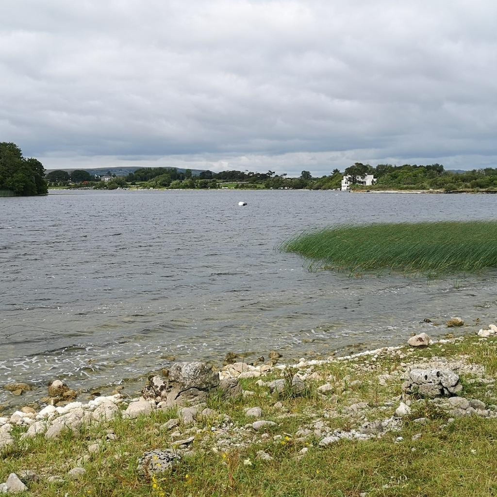
Road cycling routes around Lough Atedaun are situated within County Clare's Burren region, characterized by its unique karst landscape and striking limestone pavements. Lough Atedaun itself is a freshwater lake near Corofin, part of protected natural habitats. The area features serene riverine settings connected to the River Fergus, offering a visually engaging backdrop for road cyclists. The terrain includes mostly well-paved surfaces with moderate climbs, catering to various fitness levels.
Best road cycling routes around Lough Atedaun
- The most popular…
Last updated: October 1, 2026
5.0
(1)
6
riders
33.7km
01:37
330m
330m
Moderate road ride. Good fitness required. Mostly well-paved surfaces and easy to ride.
5
riders
51.1km
02:24
430m
430m
Moderate road ride. Good fitness required. Mostly well-paved surfaces and easy to ride.

5
riders
65.7km
03:04
590m
590m
Moderate road ride. Good fitness required. Mostly well-paved surfaces and easy to ride.
3
riders
37.3km
01:34
220m
220m
Easy road ride. Great for any fitness level. Mostly well-paved surfaces and easy to ride.
3
riders
84.1km
03:24
330m
330m
Moderate road ride. Good fitness required. Mostly well-paved surfaces and easy to ride.
Get access to more routes and recommendations from other explorers.
Already have an account?
Our route recommendations are based on thousands of hikes, rides, and runs completed by other people on komoot.
Start today with a free account
Your next adventure awaits.
Popular around Lough Atedaun
Tips from the Community

We were there in the fog, it had something mystical... Positive to note: At the (paid) parking lot, we were informed about the poor visibility conditions.
0
0

Impressive, but tons of tourists. The path along the cliffs is currently impassable on both sides due to construction work. Nevertheless, the same price is charged for parking.
0
0

St. Brigid's Well is a mystical and deeply religious pilgrimage site at the foot of the road to the Cliffs of Moher. This holy well, dedicated to St. Brigid, is a place of silence and reflection where visitors have gathered for generations for prayer and healing. Surrounded by numerous offerings and steeped in Celtic traditions, the well offers a unique glimpse into the spiritual heritage of West Clare. The overlying graveyard also offers a serene panorama over Liscannor Bay.
2
0
The O'Brien Monument is an impressive 19th-century memorial column overlooking Liscannor Bay and the road to the Cliffs of Moher. This monument honours Cornelius O'Brien, the visionary landlord who laid the foundation for tourism in this region in the 1830s with the construction of O'Brien's Tower. As a symbol of local gratitude and historical pride, this monument forms a striking landmark in the West-Clare landscape, remembering the man who made the beauty of the cliffs accessible to the world.
3
0
Dough Castle is an atmospheric 14th-century ruin that overlooks the mouth of the River Inagh and the famous Lahinch golf courses. Originally built by the O'Connors and later inhabited by the powerful O'Brien clan, this castle tells the story of medieval power struggles in West Clare. Although the sandy soil has taken its toll over the centuries, the remaining walls continue to form an iconic silhouette against the dune landscape, steeped in history and local legends.
8
0
Lahinch is an iconic destination on the Wild Atlantic Way, famous for its world-class links golf courses and vibrant surf culture. This charming coastal village in County Clare boasts a vast Blue Flag beach, a lively main street filled with traditional pubs, and direct access to the spectacular Cliffs of Moher. Whether you come for the international top sport during the Walker Cup 2026, the rousing sounds of the Lahinch Trad Festival, or simply for the fresh sea air, Lahinch is the ultimate blend of Irish hospitality and natural splendor.
7
0
Best visited in the afternoon to take advantage of the better sunshine. Be careful, however, as the cliff edge can be very dangerous on rainy or windy days. These black cliffs, composed of layers of sandstone and moss-covered slate where thousands of birds nest, are among Ireland's most spectacular natural sites. Their dizzying height (approximately 200 meters at the top, near the tower, and over 8 kilometers long) makes you feel so small that you forget the presence of other tourists, even though they are numerous.
7
0

One of Ireland's most visited holy wells. People have been visiting this well for centuries. The inhabitants of the Aran Islands had a deep connection with this place. They called it Dabhach Bhríde – Brigid's Bath. Two holidays are celebrated here every year: February 1 and August 14.
1
0
Frequently Asked Questions
How many road cycling routes are available around Lough Atedaun?
There are 12 road cycling routes available around Lough Atedaun, offering a variety of experiences for different skill levels.
What is the typical terrain for road cycling in the Lough Atedaun area?
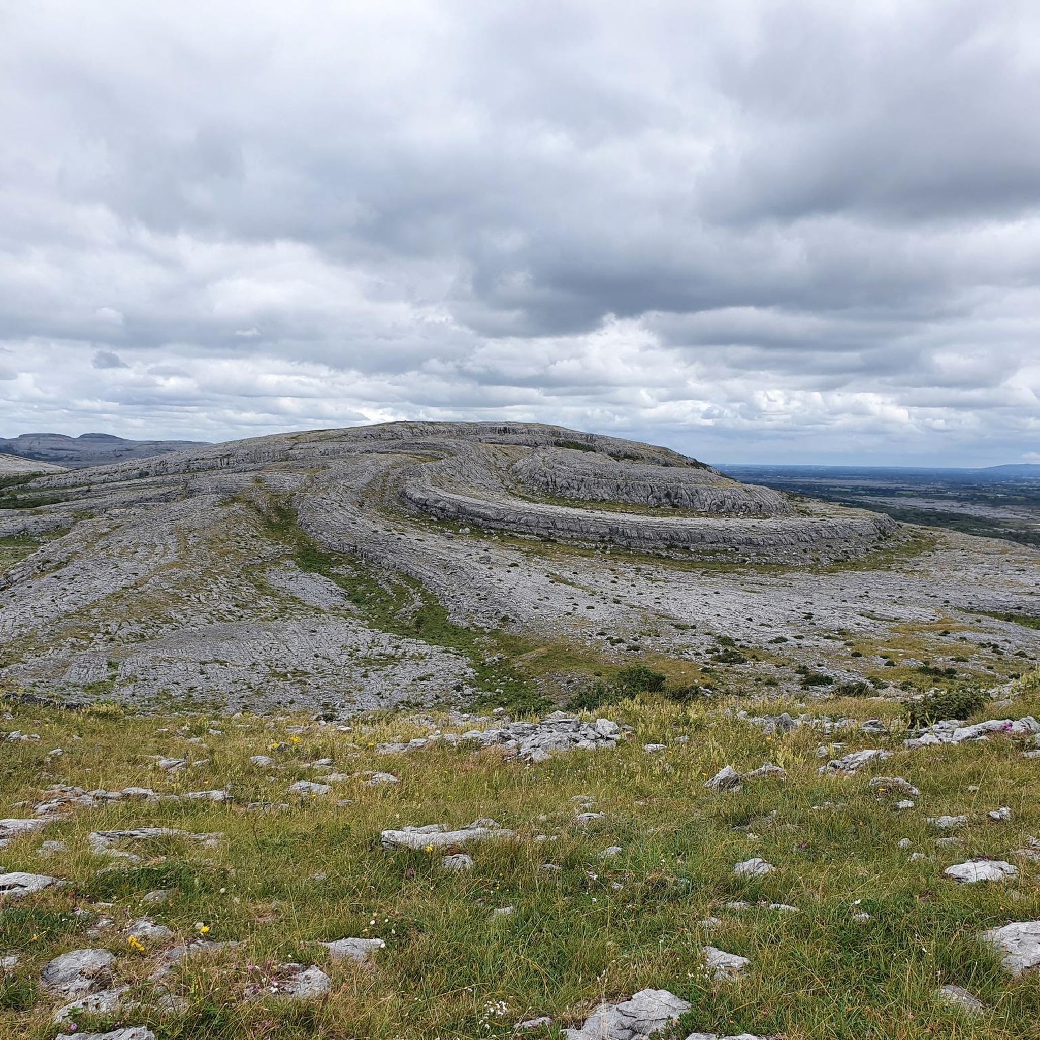
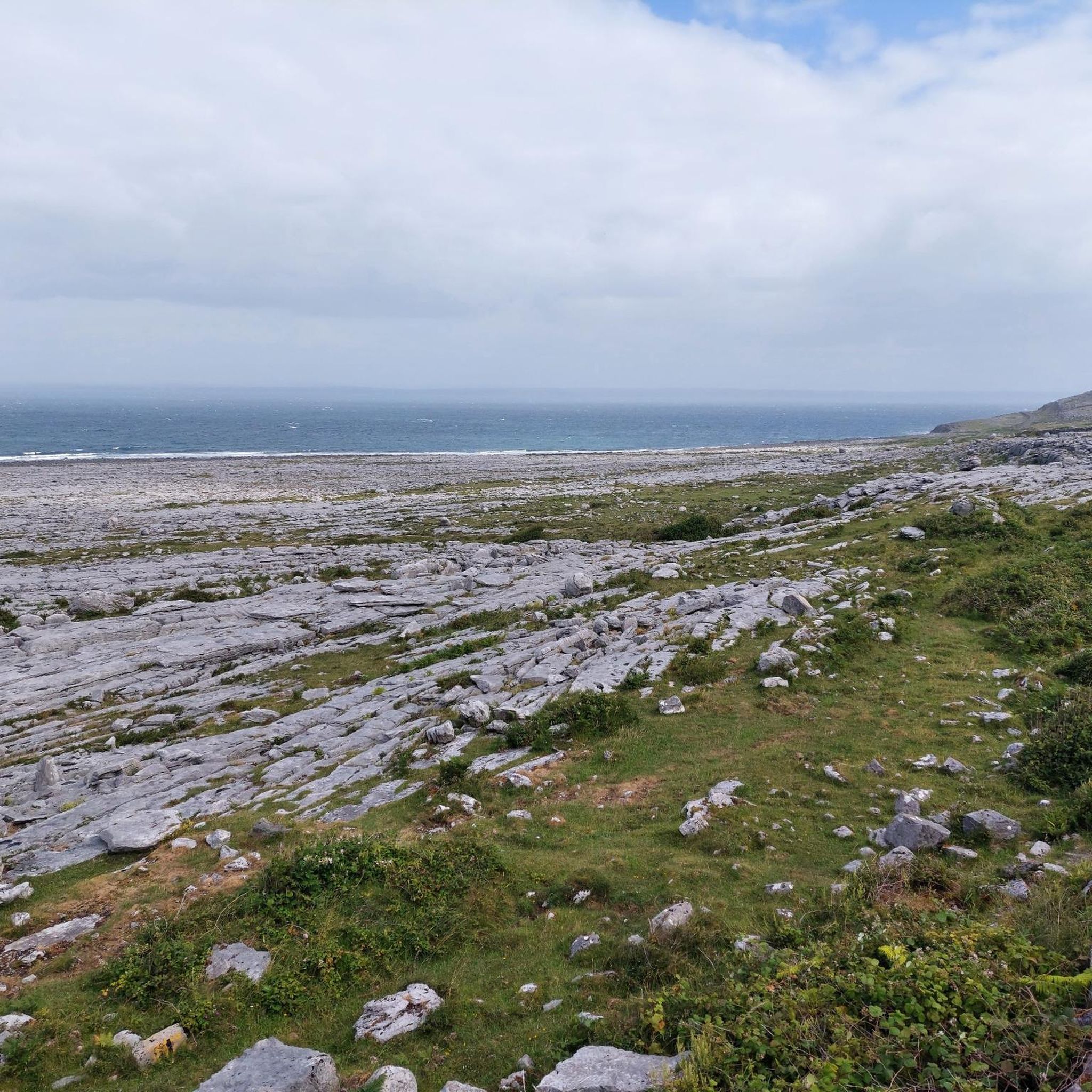
The terrain around Lough Atedaun is characterized by the Burren's unique karst landscape, featuring striking limestone pavements. Routes generally have well-paved surfaces, but some involve moderate climbs, offering a varied and engaging experience for road cyclists.
What are the difficulty levels of road cycling routes near Lough Atedaun?
The routes cater to various abilities, with 4 easy routes, 7 moderate routes, and 1 difficult route. This ensures options for beginners, intermediate riders, and those seeking a challenge.
Are there any easy road cycling routes suitable for beginners around Lough Atedaun?
Yes, there are easy routes available. For instance, the View of Lough Derg – Orientation for hikers loop from Ballyportry Castle is an easy option, covering 37.3 km with an elevation gain of around 219 meters.
What kind of landmarks or viewpoints can I expect to see while road cycling near Lough Atedaun?
Road cycling routes in this region often pass through the Burren's ancient landscapes, offering views of geological formations and diverse flora. You might also encounter historical attractions such as ancient dolmens, stone circles, cairns, and even medieval castles like Dysert O'Dea Castle, adding a cultural dimension to your ride.
Are there any circular road cycling routes around Lough Atedaun?
Yes, many routes are designed as loops. A popular option is the Roadbike loop from Corofin, which is a 33.6 km moderate trail starting and ending in Corofin.
What is the best time of year for road cycling around Lough Atedaun?
The Burren region, where Lough Atedaun is located, is best experienced when the weather is mild. Spring and summer typically offer more favorable conditions for cycling, allowing you to fully appreciate the unique landscapes and natural features.
What do other road cyclists enjoy most about the routes in Lough Atedaun?
The routes in Lough Atedaun are highly rated by the komoot community, with an average score of 5.0 stars. Cyclists often praise the visually engaging backdrop of the karst landscapes, limestone pavements, and serene riverine settings, as well as the variety of terrain that caters to different fitness levels.
Are there longer, more challenging road cycling routes for experienced riders?
Yes, for more experienced riders, routes like the Cliffs of Moher – Lahinch loop from Ballyportry Castle offer a significant challenge. This route covers 65.8 km with nearly 600 meters of elevation gain, leading through the iconic Cliffs of Moher area.
Where can I find bike rental services near Lough Atedaun?
While not directly at Lough Atedaun, towns within the wider Burren cycling network, such as Kilfenora and Doolin, are known to offer bike rental options and facilities for cyclists, serving as excellent starting points for exploring the region.
Is Lough Atedaun itself suitable for water activities after a ride?
Lough Atedaun is a freshwater lake known for angling, particularly trout fishing. However, it is quite shallow, which can make boat access difficult for other water sports. Nearby coastal areas or other lakes might offer more suitable options for activities like kayaking.
What is the longest road cycling route available in the area?
The longest route listed is the Ballyallia Lough loop from Ballyportry Castle, which spans 84 km and features over 330 meters of elevation gain, making it a substantial ride for those looking for distance.

Get inspired with the komoot mobile app


Explore more
Browse the best Road cycling routes in other regions.
