The best cycling routes around Lough Tay
5.0
(13)
447
riders
20
rides
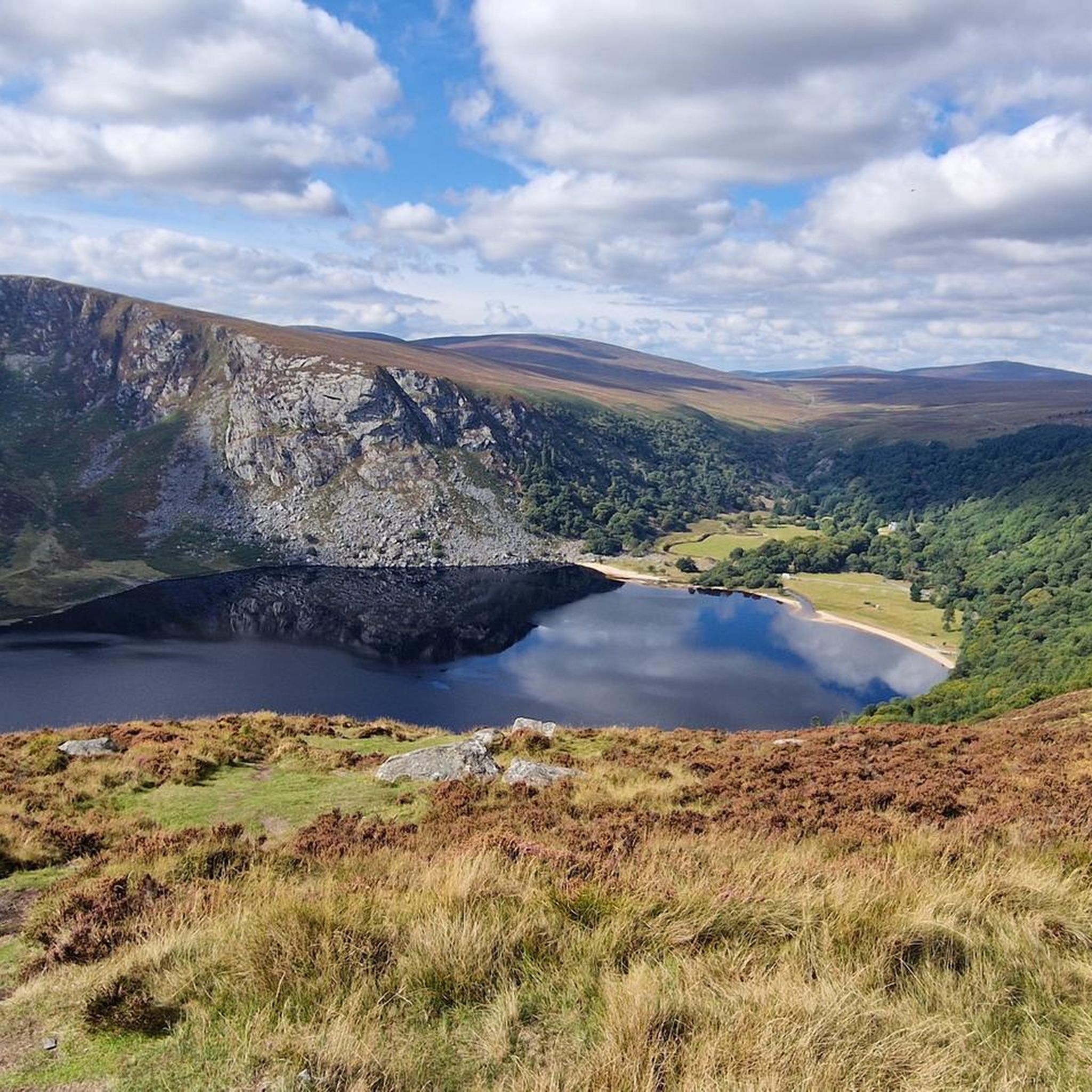
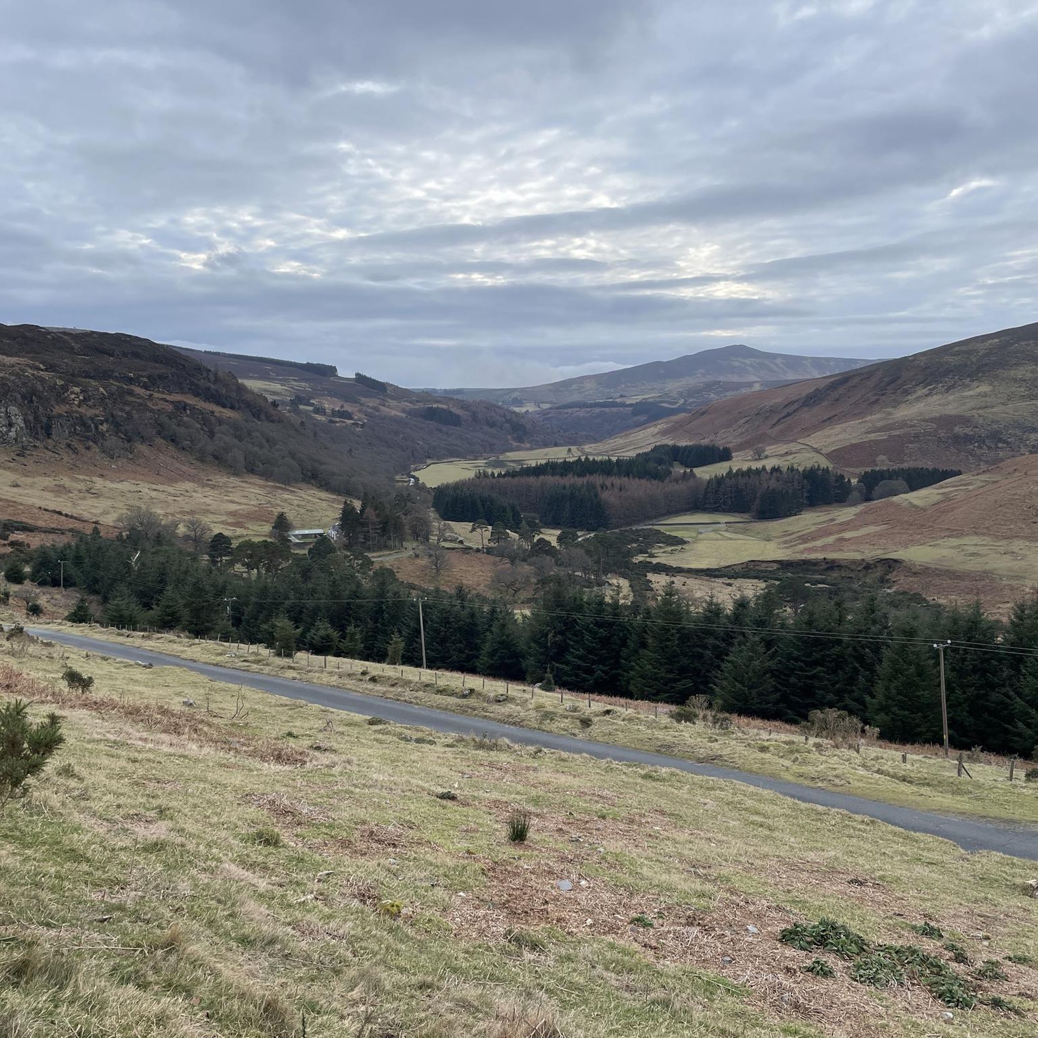
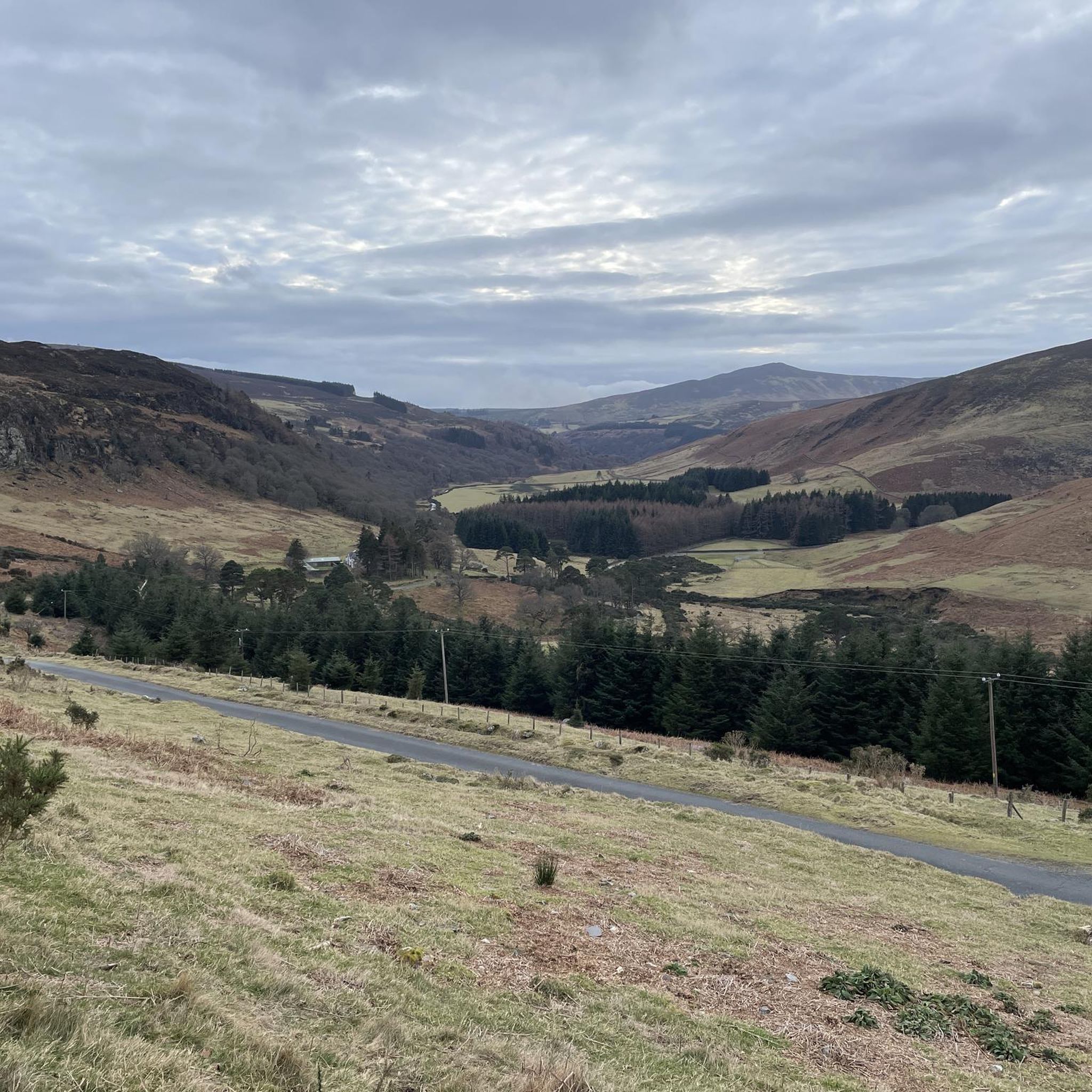
Touring cycling around Lough Tay offers routes through the dramatic landscapes of the Wicklow Mountains National Park. The region is characterized by its iconic dark, peaty lake, often called the "Guinness Lake," nestled between mountains like Djouce and Luggala. Scenic road networks, including the Military Road (R115/L1013) and R759, provide access to panoramic views and diverse terrain for cyclists.
Best touring cycling routes around Lough Tay
- The most popular touring cycling route is Ballinastoe MTB Trails – View From the Bridge loop from Ballinastoe Wood, a 16.1 miles (25.9 km) trail that takes 2 hours 8 minutes to complete, offering challenging climbs and expansive mountain vistas.
- Another top favourite among local touring cyclists is Sally Gap – Wicklow Way loop from Ballinastoe Wood, a difficult 23.9 miles (38.6 km) path. This route traverses high mountain passes and offers sweeping views of the surrounding national park.
- Local touring cyclists also love the Ballinastoe MTB Trails loop from Ballinastoe Wood, a 4.1 miles (6.7 km) trail leading through varied forest and open terrain, often completed in about 43 minutes.
- Touring cycling around Lough Tay is defined by dramatic mountain backdrops, scenic road networks, and diverse national park landscapes. The network offers options for different ability levels, from moderate loops to more challenging mountain routes.
- The routes in Lough Tay are highly rated by the komoot community with an average score of 5.0 stars from more than 5 reviews. More than 400 touring cyclists have used komoot to explore Lough Tay's varied terrain.
Last updated: August 17, 2026
10
riders
6.66km
00:44
190m
190m
Moderate bike ride. Good fitness required. Mostly paved surfaces. Suitable for all skill levels.
2
riders
38.6km
03:02
800m
800m
Hard bike ride. Very good fitness required. You may need to push your bike for some segments of this route.

Sign up for free
4
riders
20.7km
01:42
450m
450m
Hard bike ride. Very good fitness required. Mostly paved surfaces. Suitable for all skill levels.
4.8
(6)
56
riders
41.1km
02:41
590m
590m
Hard bike ride. Very good fitness required. Mostly paved surfaces. Suitable for all skill levels.
18
riders
Moderate bike ride. Good fitness required. Mostly paved surfaces. Suitable for all skill levels.
Get access to more routes and recommendations from other explorers.
Sign up for free
Already have an account?
Our route recommendations are based on thousands of hikes, rides, and runs completed by other people on komoot.
Start today with a free account
Your next adventure awaits.
Login or Signup

Tips from the Community

Friendly service and plenty of space inside and outside.
8
0
The waterfall plunges in multiple stages, 80–100 meters, down a wide granite ledge. The combination of steep walls, open highlands, and the winding river below makes this one of the most dramatic panoramas in the entire R115 corridor.
6
0
Luggala Trailhead Parking Area Small parking area on the north side of Luggala, starting point for the short but steep hike to the viewpoint over Lough Tay. Direct access to open heathland and panoramic views.
4
0
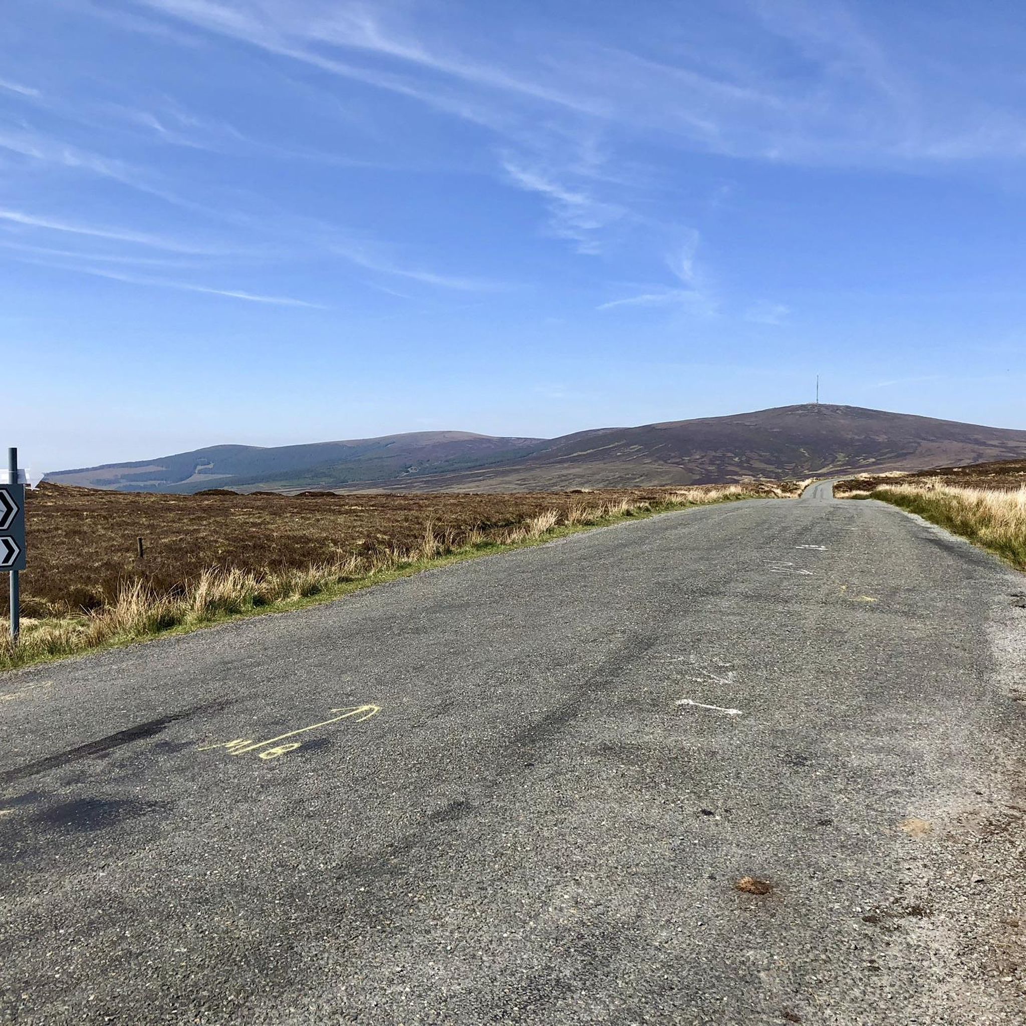
Sally Gap, one of the highest and most open crossroads in the Wicklow Mountains. Here, the R759 and the Old Military Road (R115) intersect at over 500 meters altitude, in the middle of a vast moorland and heath landscape without buildings or shelter. The panorama is a full 360°: the dark bogs of Liffey Head Bog, the flanks of Kippure, the valleys towards Glencree, and the long, empty Military Road that runs like a pencil line through the highlands. This location is world-famous as a backdrop for films and series such as Braveheart, Vikings, and P.S. I Love You.
8
0

Did the loop today bottom part was very wet, boggy under foot so make sure you were good footwear. Climb up Djouce was straight forward but the loop was difficult.
0
0

An excellent place for a pitstop. There is a small courtyard for storing one or two bikes and sheltered outside seating area. Great food but quite pricey
0
0


Frequently Asked Questions
What are the general difficulty levels for touring cycling routes around Lough Tay?
The Lough Tay area offers a mix of routes suitable for different skill levels. You'll find 9 moderate routes and 14 difficult routes. Moderate options, like the Ballinastoe MTB Trails loop from Ballinastoe Wood, are generally shorter with less elevation gain. Difficult routes often involve significant climbs and longer distances, traversing the mountainous terrain of the Wicklow Mountains National Park.
Are there any family-friendly touring cycling routes near Lough Tay?
While many routes in the immediate Lough Tay area are rated moderate to difficult due to the mountainous terrain, some shorter, moderate loops can be suitable for families with older children or those comfortable with some elevation. For instance, the Roundwood – Roundwood loop from Kilmacanogue offers a 17.6 km ride with manageable climbs, providing a good option for a family outing.
Where can I park my car when cycling around Lough Tay?
Parking is generally available at popular starting points for cycling routes. The Region Research mentions car parks along the R759 road, such as those near Ballinastoe Wood and J.B. Malone, which are convenient access points for many trails in the area.
What kind of landscapes can I expect to see while cycling around Lough Tay?
You can expect dramatic and diverse landscapes. The routes wind through the Wicklow Mountains National Park, offering views of blanket bogs, heath habitats, and ancient woodlands. The highlight is often Lough Tay itself, known as the 'Guinness Lake,' with its dark waters contrasting with a white sand beach, framed by mountains like Djouce and Luggala. Scenic roads like the Military Road (R115/L1013) and R759 provide panoramic vistas.
Are there any circular touring cycling routes in the Lough Tay region?
Yes, many of the touring cycling routes around Lough Tay are designed as loops, allowing you to start and finish at the same point. Examples include the popular Ballinastoe MTB Trails – View From the Bridge loop from Ballinastoe Wood, which is a challenging 25.9 km ride, and the Sally Gap – Wicklow Way loop from Ballinastoe Wood, a longer 38.6 km option.
What is the best time of year to go touring cycling in Lough Tay?
The Wicklow Mountains National Park, including the Lough Tay area, is beautiful year-round, but the best time for touring cycling is generally from late spring to early autumn (May to September). During these months, you'll typically experience milder weather, longer daylight hours, and drier conditions, making the mountainous terrain more enjoyable and safer to navigate. Always check local weather forecasts before heading out.
What should I wear for touring cycling in the Lough Tay area?
Given the variable weather in the Wicklow Mountains, it's advisable to dress in layers. Even on sunny days, conditions can change quickly, especially at higher elevations. Waterproof and windproof outer layers are recommended, along with moisture-wicking base layers. Helmets are essential, and gloves and appropriate cycling footwear will enhance your comfort and safety.
Are there any waterfalls accessible by touring bike near Lough Tay?
Yes, the wider Wicklow Mountains National Park features natural attractions like waterfalls. For example, the Sally Gap – Glenmacnass Waterfall loop from Vartry Reservoir Upper is a challenging 41.2 km touring cycling route that includes the scenic Glenmacnass Waterfall, offering a rewarding stop along your ride.
What do other touring cyclists enjoy most about cycling in Lough Tay?
The area is highly rated by the komoot community, with an average score of 5.0 stars from more than 5 reviews. Reviewers often praise the dramatic mountain backdrops, the scenic road networks, and the diverse national park landscapes. The unique visual of the 'Guinness Lake' itself, viewed from surrounding roads, is frequently highlighted as a memorable experience.
Can I access Lough Tay directly from the cycling routes?
While you can enjoy breathtaking views of Lough Tay from various points along the surrounding roads and cycling routes, direct access to the lake and its shore is restricted as it is on private property. The beauty of the 'Guinness Lake' is best appreciated from the designated viewpoints and roads that traverse the area.
Are there any cafes or refreshment stops along the touring cycling routes near Lough Tay?
While the immediate vicinity of Lough Tay is largely natural and undeveloped, the surrounding villages and towns within the Wicklow Mountains National Park, such as Roundwood, offer options for cafes, pubs, and shops where you can refuel and refresh during or after your ride. It's always a good idea to carry sufficient water and snacks, especially on longer routes.
How many touring cycling routes are available in the Lough Tay area?
There are over 20 touring cycling routes available around Lough Tay on komoot. These routes cater to various preferences, ranging from moderate loops to more challenging mountain routes, all set within the stunning landscapes of the Wicklow Mountains National Park.
Most popular routes around Lough Tay

Get inspired with the komoot mobile app


Explore more
Browse the best Cycling routes in other regions.
