The best road cycling routes around Lough Dan
4.9
(8)
701
riders
29
rides
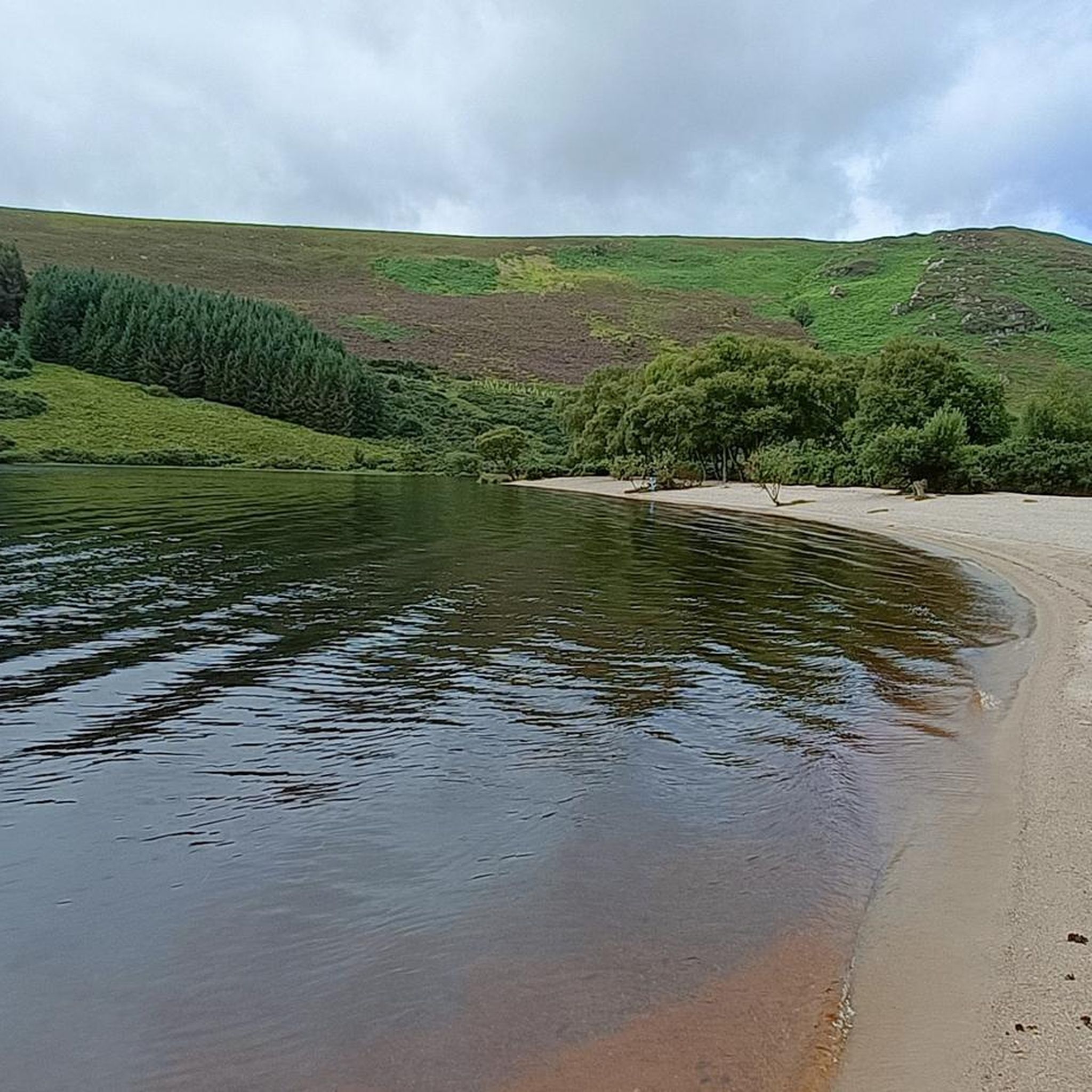
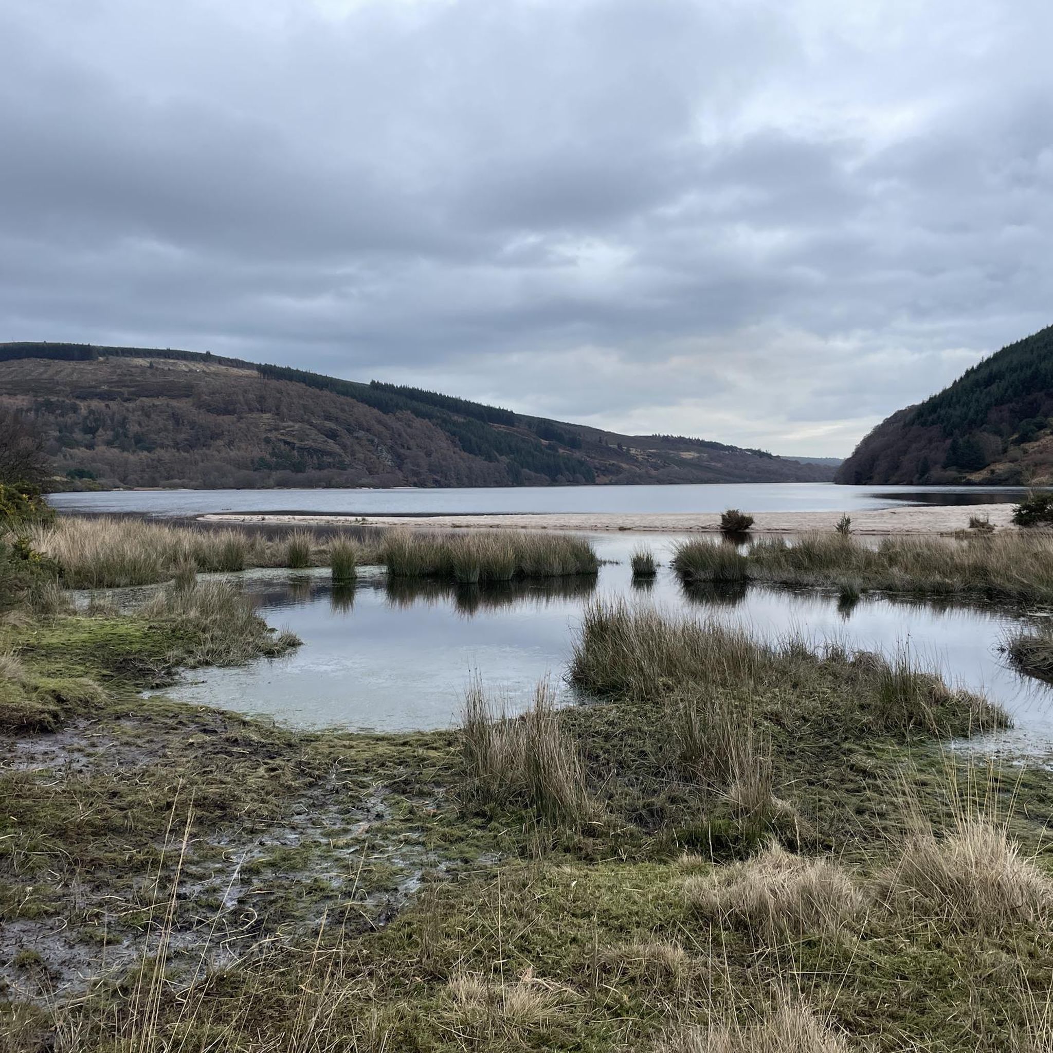
Road cycling routes around Lough Dan are set within the Wicklow Mountains National Park, characterized by rolling hills, cypress forests, and expansive open moorland. The region features a boomerang-shaped ribbon lake, fed by the Cloghoge and Inchavore rivers, and is overlooked by Luggala (595 meters) and Knocknacloghoge (534 meters) mountains. The Old Military Road and the Sally Gap offer elevated perspectives and challenging terrain for road cyclists. This area provides diverse landscapes and significant elevation gains, making it suitable for…
Last updated: July 8, 2026
4
riders
24.8km
01:10
230m
230m
Easy road ride. Great for any fitness level. Mostly well-paved surfaces and easy to ride.
4
riders
23.6km
01:08
310m
310m
Moderate road ride. Good fitness required. Mostly well-paved surfaces and easy to ride.

Sign up for free
42
riders
101km
05:02
1,540m
1,540m
Hard road ride. Very good fitness required. Mostly well-paved surfaces and easy to ride.
5.0
(1)
97
riders
60.9km
03:34
1,170m
1,170m
Hard road ride. Very good fitness required. Some segments of this route may be unpaved and difficult to ride.
50
riders
67.7km
03:46
1,390m
1,390m
Hard road ride. Very good fitness required. Some segments of this route may be unpaved and difficult to ride.
Get access to more routes and recommendations from other explorers.
Sign up for free
Already have an account?
Our route recommendations are based on thousands of hikes, rides, and runs completed by other people on komoot.
Start today with a free account
Your next adventure awaits.
Login or Signup

Tips from the Community

Friendly service and plenty of space inside and outside.
8
0
The Glenmacnass Waterfall cascades 80–100 metres down several broad steps into a carved U‑shaped valley, one of the wildest landscapes in the Wicklow Mountains. From the R115, you have a frontal view of the granite ledge over which the water falls, with open moorland, peat slopes, and the river winding its way towards Laragh.
8
0
The waterfall plunges in multiple stages, 80–100 meters, down a wide granite ledge. The combination of steep walls, open highlands, and the winding river below makes this one of the most dramatic panoramas in the entire R115 corridor.
6
0
Sally Gap, one of the highest and most open crossroads in the Wicklow Mountains. Here, the R759 and the Old Military Road (R115) intersect at over 500 meters altitude, in the middle of a vast moorland and heath landscape without buildings or shelter. The panorama is a full 360°: the dark bogs of Liffey Head Bog, the flanks of Kippure, the valleys towards Glencree, and the long, empty Military Road that runs like a pencil line through the highlands. This location is world-famous as a backdrop for films and series such as Braveheart, Vikings, and P.S. I Love You.
8
0

The tranquil trails of Ballard Wood are a charming and peaceful forest that provides you with a lovely escape in the Irish countryside. This woodland is known for its serene atmosphere and well-marked paths, making it ideal for a relaxing walk or a gentle hike. It's a wonderful place to appreciate the quiet natural beauty and the shade of the trees.
1
0

I missed the glen itself, so will go again on a separate trip, but the coffee & cake shop nearby is highly recommended.
0
0


Lovely bit of roads. be careful of the sheep though
0
0
Frequently Asked Questions
What is the overall difficulty level for road cycling routes around Lough Dan?
Lough Dan offers a diverse range of road cycling routes. You'll find 7 easy routes, 13 moderate routes, and 12 difficult routes, catering to various fitness levels. The region is known for its challenging terrain with significant elevation gains, especially on routes like those traversing the Old Military Road or the Sally Gap.
Are there any easy or family-friendly road cycling routes near Lough Dan?
Yes, there are several easier options. For instance, the Vartry Reservoir Crossing loop from Roundwood is an easy 24.8 km route offering scenic views. While many routes involve significant climbs, some sections are paved and suitable for less experienced cyclists or families looking for a gentler ride.
What are some notable landmarks or viewpoints to see while road cycling around Lough Dan?
The region is rich in natural beauty and iconic landmarks. Cyclists can experience breathtaking scenery along the Old Military Road, which offers views of snow-capped mountains and vibrant heathers. The mythical Sally Gap provides panoramic vistas of Lough Dan, Lough Tay, and Luggala Mountain. For elevated perspectives, the summit of Knocknacloghoge offers some of the best views of Lough Dan from above.
What is the best time of year for road cycling in the Lough Dan area?
The Wicklow Mountains National Park, where Lough Dan is located, offers stunning scenery year-round. However, for the most comfortable cycling conditions, late spring to early autumn (May to September) is generally recommended. During these months, the weather is milder, and the vibrant flowering heathers add to the picturesque landscape. Be prepared for potentially bumpy sections and varying weather conditions, as is typical for mountainous regions.
Are there any challenging road cycling routes for experienced riders?
Absolutely. Lough Dan is particularly appealing for experienced road cyclists seeking demanding rides. Routes like the Sally Gap and Slieve Man loop from Roundwood, which covers over 100 km with significant elevation, or the Sally Gap, Glencree and Enniskerry loop from Laragh, are classified as difficult due to substantial elevation gains and longer distances. The mountainous terrain and scenic roads provide an excellent test for fitness.
What do other road cyclists enjoy most about the routes around Lough Dan?
The road cycling routes around Lough Dan are highly rated by the komoot community, with an average score of 4.9 stars. Cyclists often praise the stunning natural beauty, the challenging climbs, and the constantly unfolding diverse landscapes, from dense cypress forests to open moorland. The sense of accomplishment after tackling routes like those along the Old Military Road is frequently highlighted.
Are there options for parking near the road cycling routes in Lough Dan?
Yes, many road cycling routes in the Lough Dan area, particularly those starting from nearby towns like Roundwood or Glendalough, offer parking facilities. It's advisable to check specific route details on komoot for designated parking spots at the start of your chosen tour to ensure convenience.
Can I find cafes or pubs along the road cycling routes near Lough Dan?
While Lough Dan itself is a natural, secluded area, nearby villages such as Roundwood and Laragh, which serve as common starting points or pass-throughs for many routes, offer cafes, pubs, and restaurants. These provide excellent opportunities for refreshments and breaks during or after your ride.
What kind of terrain should I expect on road cycling routes around Lough Dan?
The terrain around Lough Dan is characterized by rolling hills, dense cypress forests, and expansive open moorland. While many surfaces are paved, cyclists should be prepared for some segments that might be unpaved or have rougher surfaces, especially on older roads like parts of the Old Military Road. Expect significant elevation changes, with demanding climbs and exhilarating descents.
How long does it typically take to complete a road cycling route around Lough Dan?
The duration varies significantly depending on the route's length and difficulty. For example, an easy route like the Vartry Reservoir Crossing loop from Roundwood (24.8 km) can take around 1 hour 10 minutes. More challenging routes, such as the Sally Gap and Slieve Man loop from Roundwood (over 100 km), can take several hours, requiring a full day's commitment.
Are there any specific permits required for road cycling in the Wicklow Mountains National Park?
Generally, no specific permits are required for road cycling on public roads within the Wicklow Mountains National Park. However, it's always good practice to respect local regulations and private land notices. Always stay on designated roads and trails and be mindful of the natural environment.
Most popular routes around Lough Dan

Get inspired with the komoot mobile app


Explore more
Browse the best Road cycling routes in other regions.
