The best road cycling routes around Hornbergbecken
4.6
(138)
2,240
riders
34
rides
Road cycling routes around Hornbergbecken are characterized by the elevated terrain of the Hotzenwald region within the Southern Black Forest. This area features demanding climbs and descents through dense forested mountains, offering a challenging environment for road cyclists. The landscape is shaped by significant elevation changes, including ascents to the Hornbergbecken, which sits at 1048 meters above sea level.
Best road cycling routes around Hornbergbecken
- The most popular road cycling route is Wehra Valley Scenic Road – Pedestrian Zone in…
Last updated: October 8, 2026
15
riders
85.6km
04:42
1,770m
1,770m
Hard road ride. Very good fitness required. Mostly well-paved surfaces and easy to ride.
5.0
(2)
20
riders
25.4km
01:17
430m
430m
Moderate road ride. Good fitness required. Some segments of this route may be unpaved and difficult to ride.

5.0
(1)
11
riders
46.6km
02:26
820m
820m
Moderate road ride. Good fitness required. Some segments of this route may be unpaved and difficult to ride.
3
riders
54.0km
03:06
1,200m
1,200m
Hard road ride. Very good fitness required. Some segments of this route may be unpaved and difficult to ride.
19
riders
15.9km
00:43
120m
120m
Easy road ride. Great for any fitness level. Mostly well-paved surfaces and easy to ride.
Get access to more routes and recommendations from other explorers.
Already have an account?
Our route recommendations are based on thousands of hikes, rides, and runs completed by other people on komoot.
Start today with a free account
Your next adventure awaits.
Tips from the Community

The Gasthof in Volgelbach-Dachsberg is called Gasthaus & Pension Vogelbacher Hof (also known by the house name „Steifritz“). Opening hours: Friday 5:00 PM - 11:00 PM / -> Kitchen until 8:00 PM Sunday 10:00 AM - 3:00 PM / -> Kitchen until 2:30 PM (open on public holidays and on request) The name Stefritts is incorrect and leads to other places outside the Black Forest.
0
0

It is definitely recommended to visit the local history museum in Görwihl, preferably as part of a guided tour. Here you can get a good understanding of the eventful history of the place and the Hotzenwald region in general. In addition to an exhibition on the Salpeterer (saltpeter workers), many other areas are represented, e.g. still functional looms/tape weaving, and old school rooms. The former living conditions are also depicted: tools, sleeping and living conditions, etc.
1
0
Görwihl is one of the "centers" in the Hotzenwald. For many centuries it belonged to the County of Hauenstein and thus to Further Austria. Its history is very lively, for example, it played a major role in the saltpeter riots. This eventful history can be traced in the local history museum. Old looms and a village school are also exhibited there.
0
0

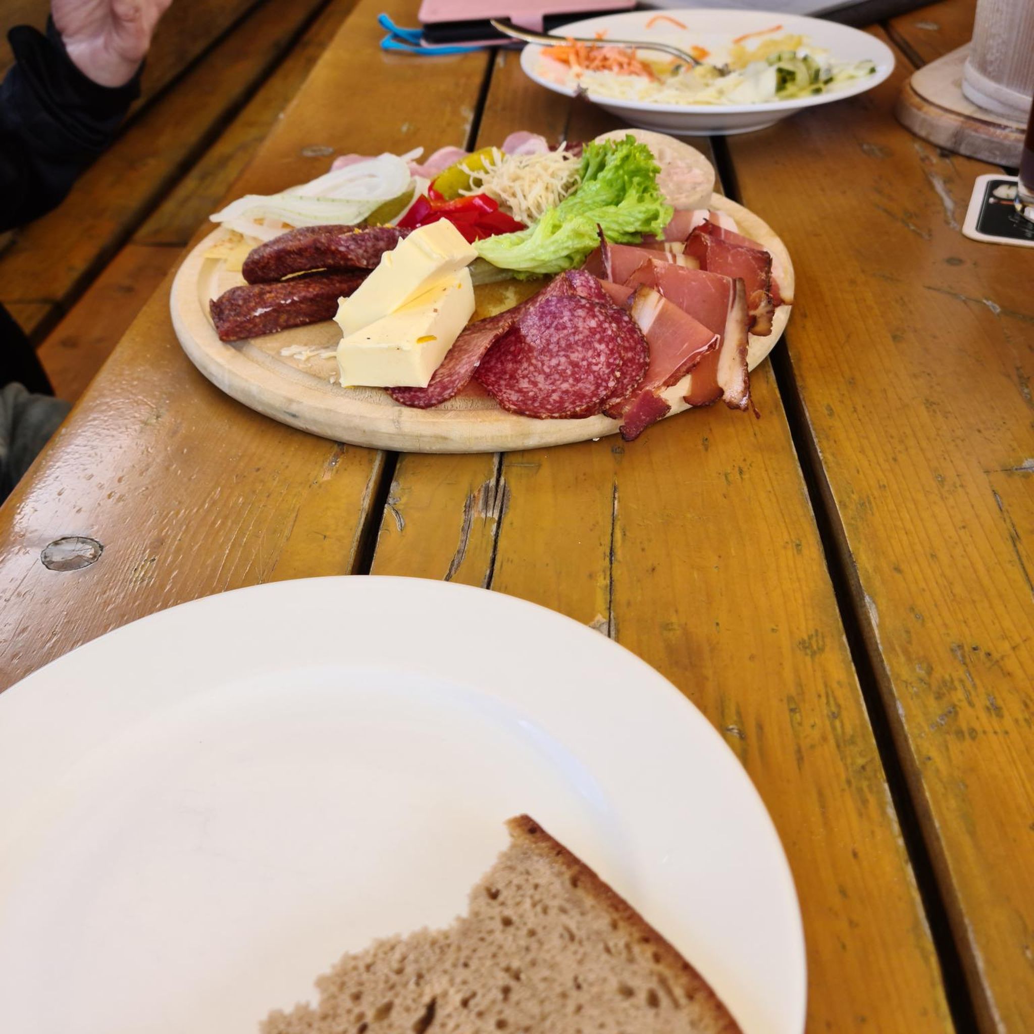
Stefritts Biergarten is a cozy place for a well-deserved break after the kilometers in the saddle. In a relaxed atmosphere, you can enjoy the tour here and gather new energy for the next sections.
0
0
The cross-country ski center is a popular starting point for cross-country ski tours in winter and shows the great importance of winter sports in the region. Even outside the snow season, the open location offers beautiful views of the landscape of the Southern Black Forest.
0
0
The historic city gate is one of Laufenburg's distinctive landmarks and gives an impression of the old town's long history. Anyone passing through here immerses themselves directly in the special flair of the former border and trading town on the Rhine.
0
0
The historic stone bridge and the town hall shape the cityscape of Laufenburg and tell of the long history of the border town on the Rhine. The view of the bridge, which connects Germany and Switzerland, makes this place a particularly worthwhile stop in the old town.
0
0
Laufenburg's historic old town enchants with its narrow alleys, well-preserved buildings, and its special charm right on the Rhine. A worthwhile stop to experience the unique atmosphere of the once-divided border town and discover some history.
0
0
Frequently Asked Questions
How many road cycling routes are available around Hornbergbecken?
There are over 30 road cycling routes available around Hornbergbecken, offering a variety of experiences for different skill levels. The region is well-known for its challenging climbs and scenic descents through the forested mountains of the Southern Black Forest.
What kind of difficulty levels can I expect for road cycling routes in this region?
The Hornbergbecken area offers a diverse range of road cycling routes. You'll find 2 easy routes, 28 moderate routes, and 4 difficult routes, catering to beginners looking for a gentle ride as well as experienced cyclists seeking a significant challenge.
Are there any easy road cycling routes suitable for beginners in Hornbergbecken?
Yes, there are easy road cycling routes available. For instance, the Wehr Town Center – Talschulplatz, Wehr loop from Wehr is an easy 15.8 km route with minimal elevation gain, perfect for a relaxed ride.
Where can I find challenging road cycling routes for experienced riders?
Experienced riders will find several challenging routes. The Wehra Valley Scenic Road – Pedestrian Zone in Todtmoos loop from Bannwald Wehratal is a difficult 85.2 km route with over 1,700 meters of elevation gain, providing a demanding test of endurance through the Black Forest landscape.
What scenic viewpoints or attractions can I expect along the road cycling routes?
Road cycling routes around Hornbergbecken offer stunning panoramic views, especially from elevated positions. From the dam crest of Hornbergbecken, you can often see the distant peaks of the Swiss Alps on clear days. The area also features the impressive Hornbergbecken itself, Germany's highest dam, and the nearby Ödlandkapelle, adding cultural interest to your ride.
Are there any long-distance road cycling routes in the Hornbergbecken area?
Yes, for those looking for longer rides, the region offers several options. The Wehra Valley Scenic Road – Pedestrian Zone in Todtmoos loop from Bannwald Wehratal is a substantial 85.2 km route, while the Laufenburg City Gate – View of Laufenburg loop from Herrischried covers 54.1 km, both providing extensive cycling experiences.
Can I find loop routes for road cycling around Hornbergbecken?
Many of the road cycling routes in the Hornbergbecken area are designed as loops, allowing you to start and finish at the same point. Examples include the Görwihl – Sägmoos Hut loop from Rickenbach and the Bushäusle Ibach – Stefritt's Beer Garden loop from Rickenbach, which are popular choices among local cyclists.
What do other road cyclists enjoy most about road cycling in Hornbergbecken?
The area is highly rated by the komoot community, with an average score of 4.7 stars from over 90 reviews. Cyclists often praise the challenging climbs, the stunning panoramic views from elevated positions, and the beautiful forested Black Forest landscape that integrates seamlessly with the routes.
What makes road cycling around Hornbergbecken unique compared to other regions?
Road cycling around Hornbergbecken is unique due to its elevated position within the Hotzenwald region of the Southern Black Forest. It features demanding climbs to the Hornbergbecken, which sits at 1048 meters above sea level, making it Germany's highest dam. The routes offer significant elevation changes and the chance to test endurance amidst a beautifully integrated natural and man-made landscape.
Are there specific climbs in the Hornbergbecken area known for their difficulty?
Yes, the region is known for several challenging ascents. Notable climbs include the route to Hornberg from Wehr, which is 9.8 km long with a 6.7% average gradient, and the longer 18.5 km climb from Murg via Hottingen, bridging 711 meters of vertical ascent. These provide a significant test for any road cyclist.
Is the Hornbergbecken itself accessible to cyclists?
While the direct path over the dam crest of Hornbergbecken is closed to tourists for safety reasons, the surrounding area and accessible viewpoints offer excellent opportunities to experience this impressive landmark. Road cycling routes often pass by or offer views of the basin, allowing you to appreciate its scale and integration into the landscape.
What is the best time of year for road biking in Hornbergbecken?
The best time for road biking around Hornbergbecken is generally from late spring through early autumn. During these months, the weather is typically more stable, and the roads are clear of snow and ice, allowing for optimal conditions to enjoy the challenging climbs and scenic views.
Most popular routes around Hornbergbecken

Get inspired with the komoot mobile app


Explore more
Browse the best Road cycling routes in other regions.
