The best cycling routes around Nagoldtalsperre
4.5
(1628)
9,097
riders
264
rides
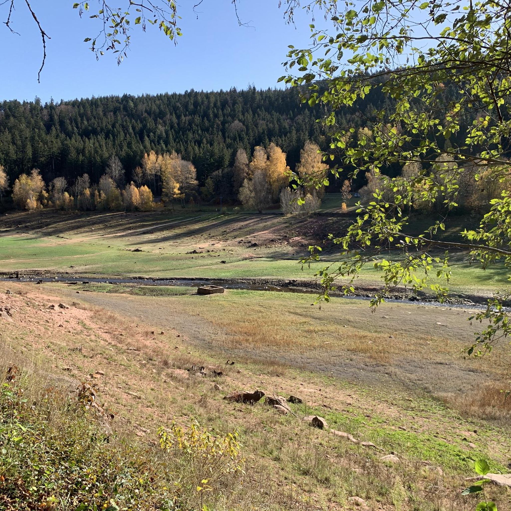
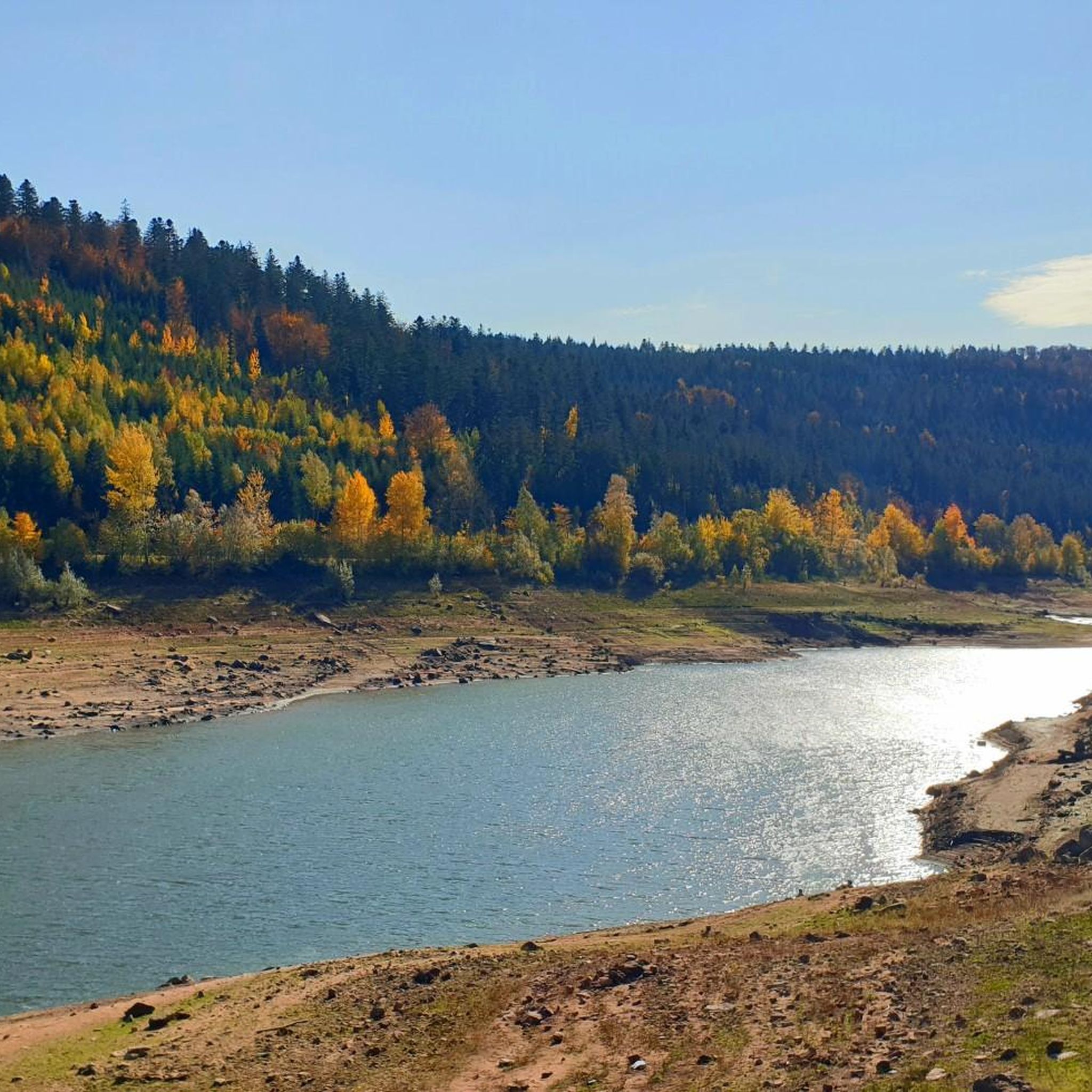
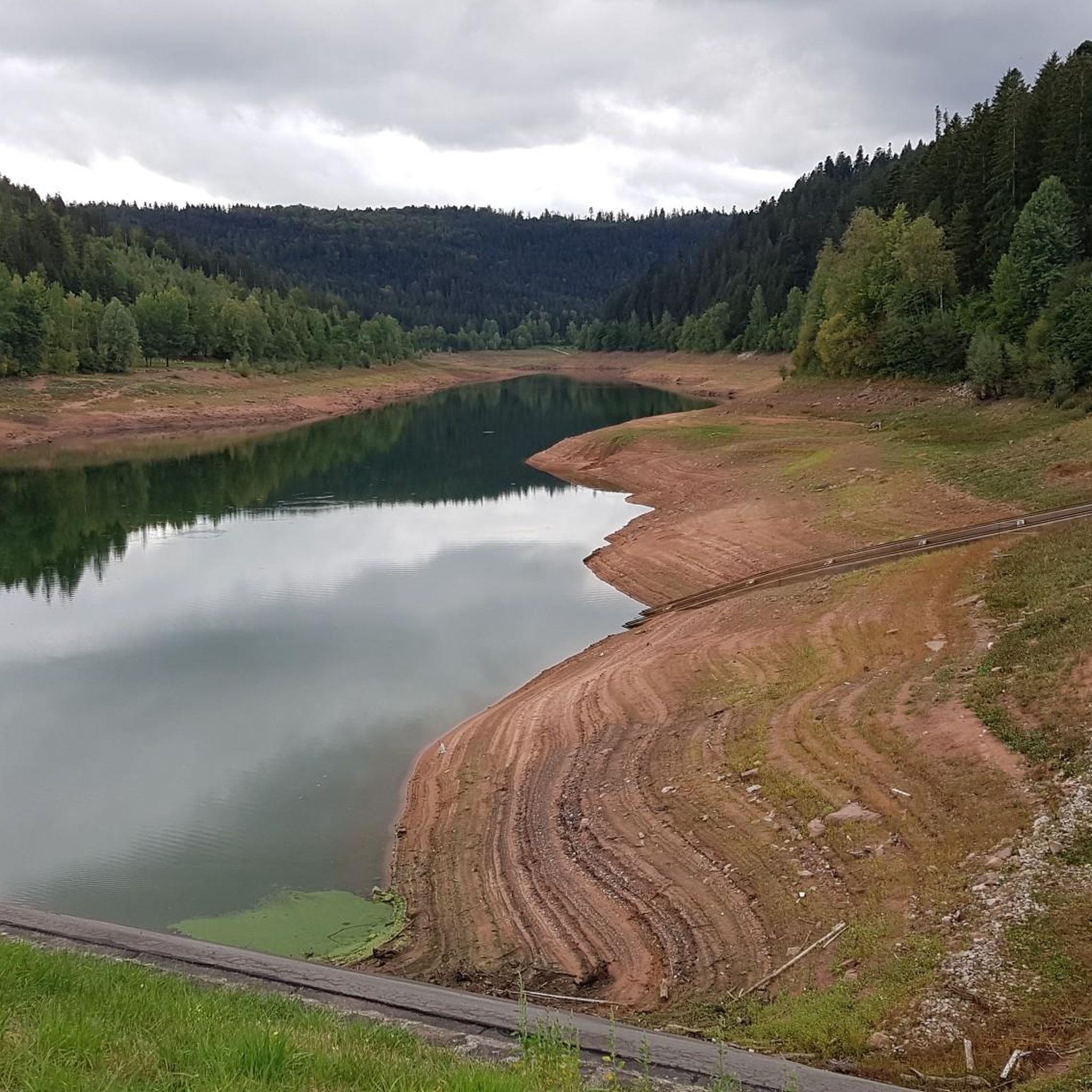
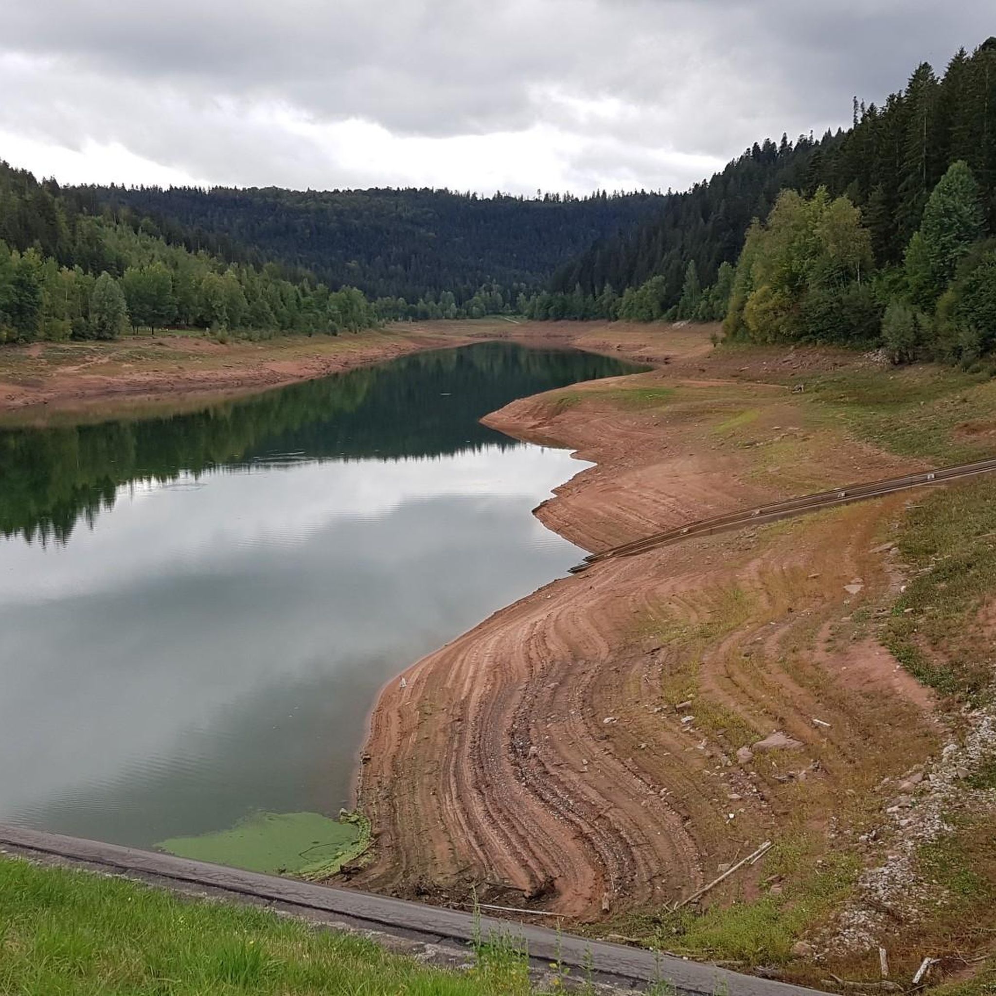
Touring cycling around Nagoldtalsperre is centered on a large reservoir within the scenic Upper Nagold Valley, enveloped by a 650-hectare nature reserve. The region features dense forests, rolling hills, and clear waters, providing a tranquil environment for cyclists. The topography includes charming valleys, expansive natural meadows, and lush green floodplains. The Nagoldtalsperre reservoir offers diverse cycling paths along the shoreline, catering to various skill levels.
Best touring cycling routes around Nagoldtalsperre
- The most popular touring cycling route is Nagold Dam…
Last updated: May 20, 2026
4.8
(8)
67
riders
6.95km
00:25
50m
50m
Easy bike ride. Great for any fitness level. Mostly paved surfaces. Suitable for all skill levels.
4.7
(6)
25
riders
25.7km
02:03
460m
460m
Hard bike ride. Very good fitness required. Mostly paved surfaces. Suitable for all skill levels.

Sign up for free
4.5
(4)
9
riders
13.9km
01:07
200m
200m
Moderate bike ride. Good fitness required. Mostly paved surfaces. Suitable for all skill levels.
5.0
(1)
13
riders
27.3km
02:12
450m
450m
Hard bike ride. Very good fitness required. Mostly paved surfaces. Suitable for all skill levels.
4.6
(17)
77
riders
10.0km
00:49
190m
190m
Moderate bike ride. Good fitness required. Mostly paved surfaces. Suitable for all skill levels.
Get access to more routes and recommendations from other explorers.
Sign up for free
Already have an account?
Our route recommendations are based on thousands of hikes, rides, and runs completed by other people on komoot.
Start today with a free account
Your next adventure awaits.
Login or Signup
Tips from the Community

It's bearable here. In good weather, it's suitable for swimming.
0
0


If you'd like to dine at Seeheiner, please note that this restaurant is closed on Mondays and Tuesdays. I recommend the following dishes at Seeheiner: Swabian pancakes and gypsy skewers. A shandy for cyclists.
1
0

There is a beautiful parking lot stretched by the lake with a go-kart station
0
0


The Erzgrube Nagold Dam serves as flood protection in the Upper Nagold Valley. With a total length of 2,850 meters, a width of up to 250 meters, and a maximum depth of 35 meters, it is one of Baden-Württemberg's largest water reservoirs.
5
0
Frequently Asked Questions
What types of touring cycling routes can I find around Nagoldtalsperre?
Nagoldtalsperre offers a diverse range of touring cycling routes. You'll find everything from flat circuits directly around the reservoir, ideal for relaxed rides, to more challenging paths with significant elevation changes that wind through dense forests and rolling hills. The region caters to various skill levels, ensuring there's a suitable route for every touring cyclist.
Are there any easy or family-friendly touring cycling routes around Nagoldtalsperre?
Yes, for a relaxed experience, the flat lake circuit around the Nagoldtalsperre is perfect for families and beginners. While specific easy routes are available, many paths offer gentle sections. For example, the Erzgrube Covered Bridge – Nagold Dam Erzgrube loop from Erzgrube is a moderate 8.6-mile path that provides scenic views without extreme difficulty.
What are some of the natural features and landmarks I can see while cycling around Nagoldtalsperre?
The region is rich in natural beauty. You can enjoy the clear waters of the Nagoldtalsperre itself, dense forests, and rolling hills of the Upper Nagold Valley. Notable landmarks include the Nagold Reservoir (Erzgrube) and the Nagold Reservoir (Nagoldtalsperre). An information pavilion also hosts a viewing tower offering panoramic vistas of the lake and its diverse waterbird population.
Are there any circular touring cycling routes around the Nagoldtalsperre?
Yes, circular routes are a popular option. The flat lake circuit around the Nagoldtalsperre is a well-known circular path. For a more challenging loop, consider the Nagold Dam Erzgrube – Erzgrube Covered Bridge loop from Erzgrube, which is a 16-mile difficult route around the reservoir. Another option is the Nagoldtalsperre – Nagold Dam loop from Große Tannen, a 20.3-mile trail through forests and hills.
What is the best time of year to go touring cycling in Nagoldtalsperre?
The Nagoldtalsperre region is beautiful throughout the warmer months. Spring and autumn offer pleasant temperatures and vibrant scenery, while summer allows for combining cycling with water activities like swimming. The dense forests provide shade, making even warmer days enjoyable for cycling.
Are dogs allowed on the touring cycling paths around Nagoldtalsperre?
The Nagoldtalsperre area is generally dog-friendly, with many outdoor activities available. While specific rules for every path may vary, dogs are typically welcome on trails, provided they are kept on a leash and owners clean up after them. It's always advisable to check local signage for any specific restrictions in protected areas.
Where can I find parking for my bike tour around Nagoldtalsperre?
Numerous car parks are available around the Nagoldtalsperre reservoir, making it convenient for cyclists to start their tours. These parking areas are often equipped with amenities like barbecue spots and picnic benches, perfect for pre- or post-ride relaxation.
What amenities are available along the touring cycling routes, such as cafes or picnic spots?
You'll find several amenities to enhance your cycling experience. Picnic benches are strategically placed along the routes, offering scenic spots for breaks. There's also a snack bar at the swimming lake in Naturpark Schwarzwald Mitte/Nord, and many car parks around the reservoir feature barbecue areas. For more options, nearby historic towns like Bad Teinach-Zavelstein and Altensteig offer cafes and restaurants.
How challenging are the touring cycling routes in Nagoldtalsperre?
The routes vary in difficulty. You can find easy, flat circuits around the lake, suitable for a leisurely ride. Moderate paths, such as the Nagoldtalsperre – Nagoldtalsperre Erzgrube loop from Große Tannen, offer a good balance of distance and elevation. For experienced cyclists, there are difficult routes like the Erzgrube Lake – Nagold Dam Erzgrube loop from Göttelfingen, which includes significant elevation changes.
Can I reach Nagoldtalsperre by public transport with my touring bike?
While the region is well-suited for cycling, specific public transport options for carrying bikes to Nagoldtalsperre can vary. It's recommended to check local bus and train schedules, as some services may accommodate bicycles, especially regional trains. Planning ahead is key to ensure a smooth journey with your bike.
What do other touring cyclists enjoy most about cycling in Nagoldtalsperre?
The area is highly rated by the komoot community, with an average score of 4.5 stars from over 1,600 reviews. Reviewers often praise the diverse terrain, from tranquil lake circuits to challenging forest paths, and the stunning natural scenery of the Upper Nagold Valley. The well-maintained paths and opportunities for wildlife spotting are also frequently highlighted.
Most popular routes around Nagoldtalsperre
Most popular attractions around Nagoldtalsperre

Get inspired with the komoot mobile app


Explore more
Browse the best Cycling routes in other regions.
