The best road cycling routes around Sylvensteinspeicher
4.5
(98)
2,236
riders
16
rides
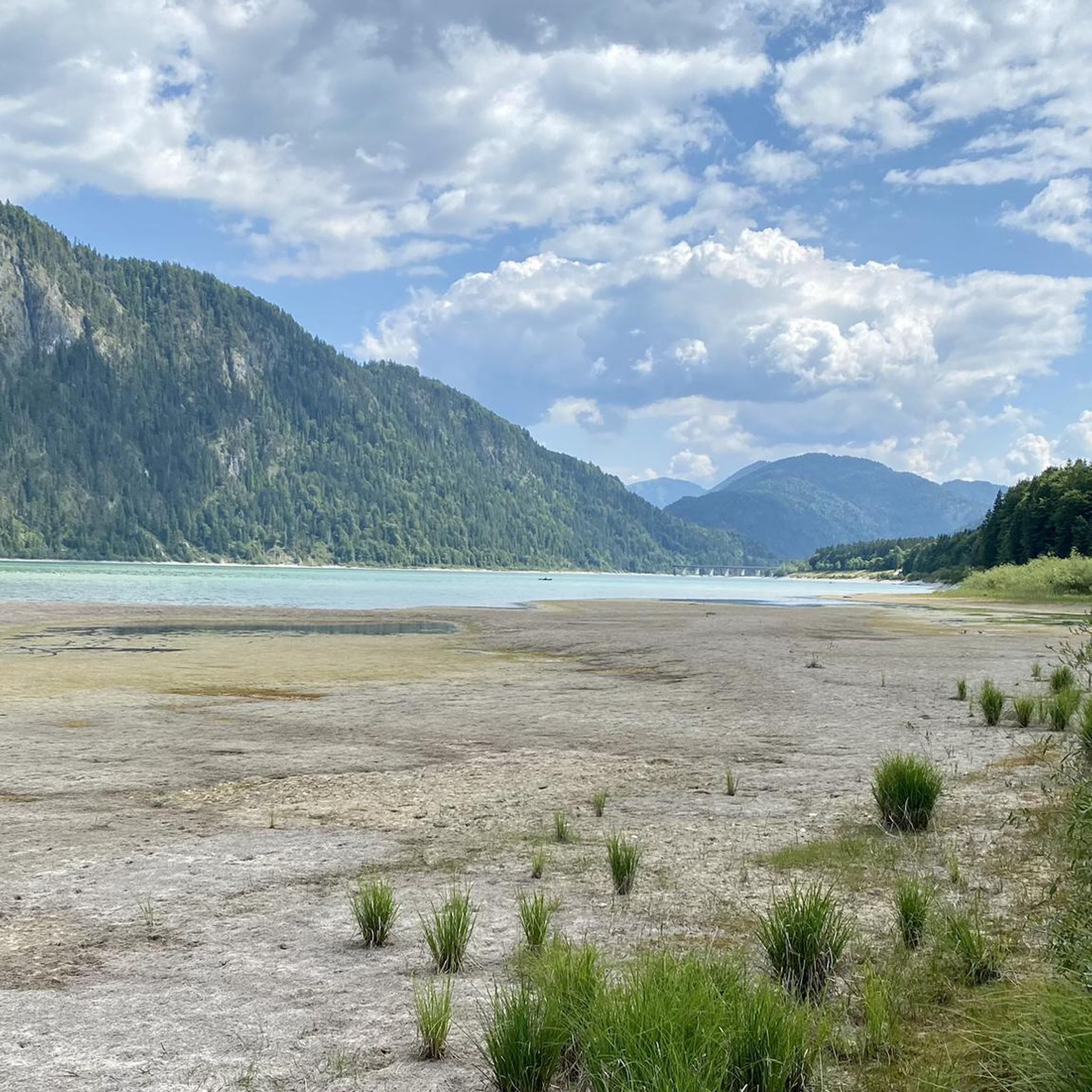
Road cycling around Sylvensteinspeicher is characterized by its setting within the Bavarian Alps, featuring a fjord-like reservoir and extensive forests. The region offers diverse terrain, from well-paved roads suitable for smooth riding to routes with significant elevation gains. Cyclists can navigate through the scenic Isar Valley, enjoying panoramic views of the Sylvensteinsee and surrounding mountain ranges. The area's infrastructure includes routes that connect to broader cycling paths and other notable lakes.
Best road cycling routes around Sylvensteinspeicher
- The most popular road cycling route is View of the wild Isar River – Sylvenstein Reservoir loop from Fall, a 55.0 miles (88.6 km) trail that takes 4 hours 1 minute to complete. This difficult route offers expansive views of the wild Isar River and the Sylvenstein Reservoir.
- Another top favourite among local road cyclists is View of the Isar River – Toll Road to Eng loop from Fall, a moderate 23.4 miles (37.7 km) path. This route features scenic stretches along the Isar River and a toll road leading towards Eng.
- Local road cyclists also love the Sylvenstein Reservoir – View of Sylvenstein Reservoir loop from Fall, a 20.4 miles (32.9 km) trail leading through areas with panoramic reservoir views, often completed in about 1 hour 32 minutes.
- Road cycling around Sylvensteinspeicher is defined by its fjord-like reservoir, Bavarian Alps, and extensive forests. The network offers options for different ability levels, from easy rides to more challenging routes with notable climbs.
- The routes in Sylvensteinspeicher are highly rated by the komoot community with an average score of 4.6 stars from more than 80 reviews. More than 2,100 road cyclists have used komoot to explore Sylvensteinspeicher's varied terrain.
Last updated: July 5, 2026
4.8
(26)
647
riders
88.6km
04:01
910m
910m
Hard road ride. Very good fitness required. Mostly well-paved surfaces and easy to ride.
5.0
(2)
47
riders
37.7km
01:39
340m
340m
Moderate road ride. Good fitness required. Mostly well-paved surfaces and easy to ride.

Sign up for free
5.0
(11)
181
riders
32.9km
01:32
210m
210m
Moderate road ride. Great for any fitness level. Some segments of this route may be unpaved and difficult to ride.
13
riders
Easy road ride. Great for any fitness level. Mostly well-paved surfaces and easy to ride.
5.0
(5)
153
riders
Easy road ride. Great for any fitness level. Mostly well-paved surfaces and easy to ride.
Get access to more routes and recommendations from other explorers.
Sign up for free
Already have an account?
Our route recommendations are based on thousands of hikes, rides, and runs completed by other people on komoot.
Start today with a free account
Your next adventure awaits.
Login or Signup
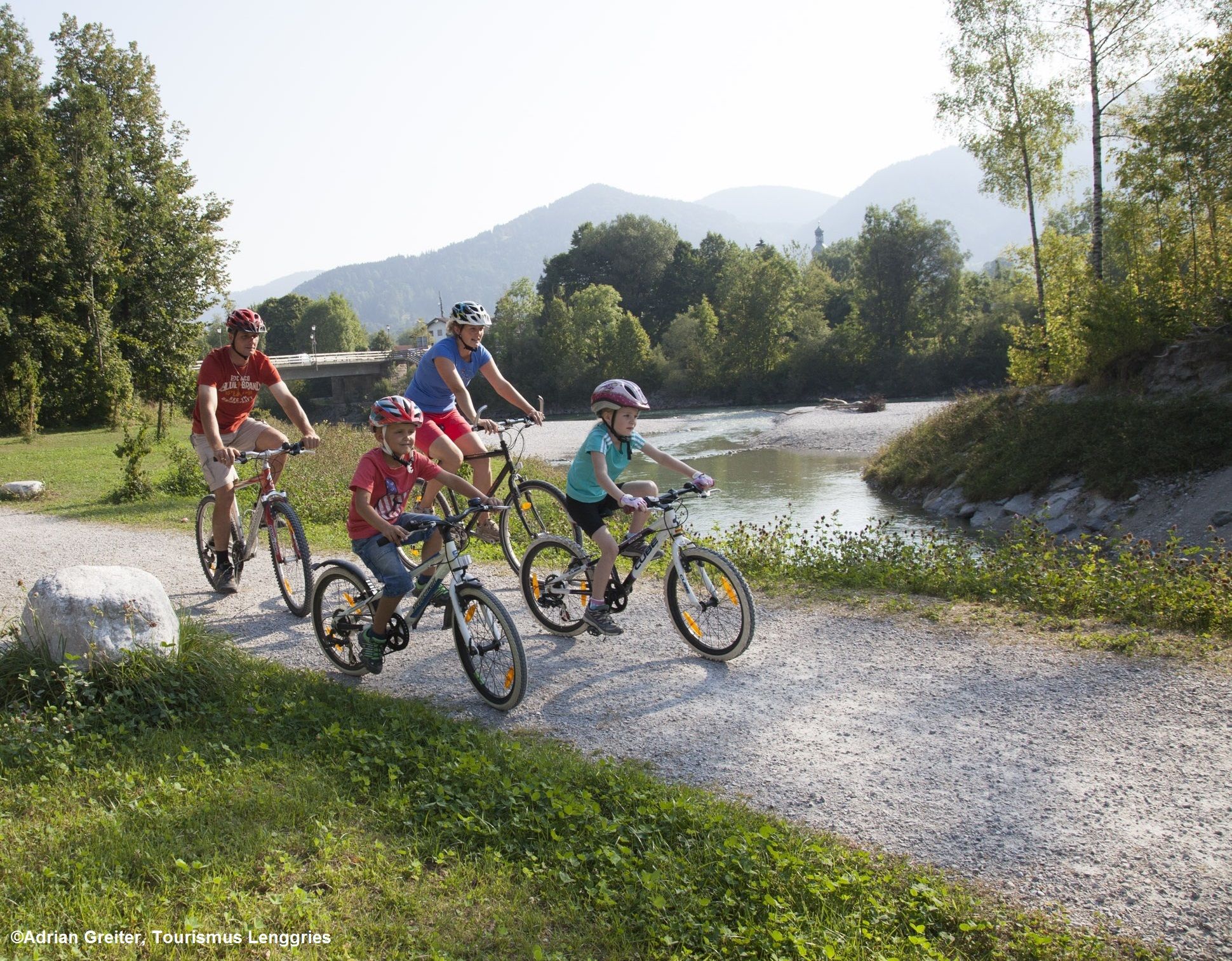
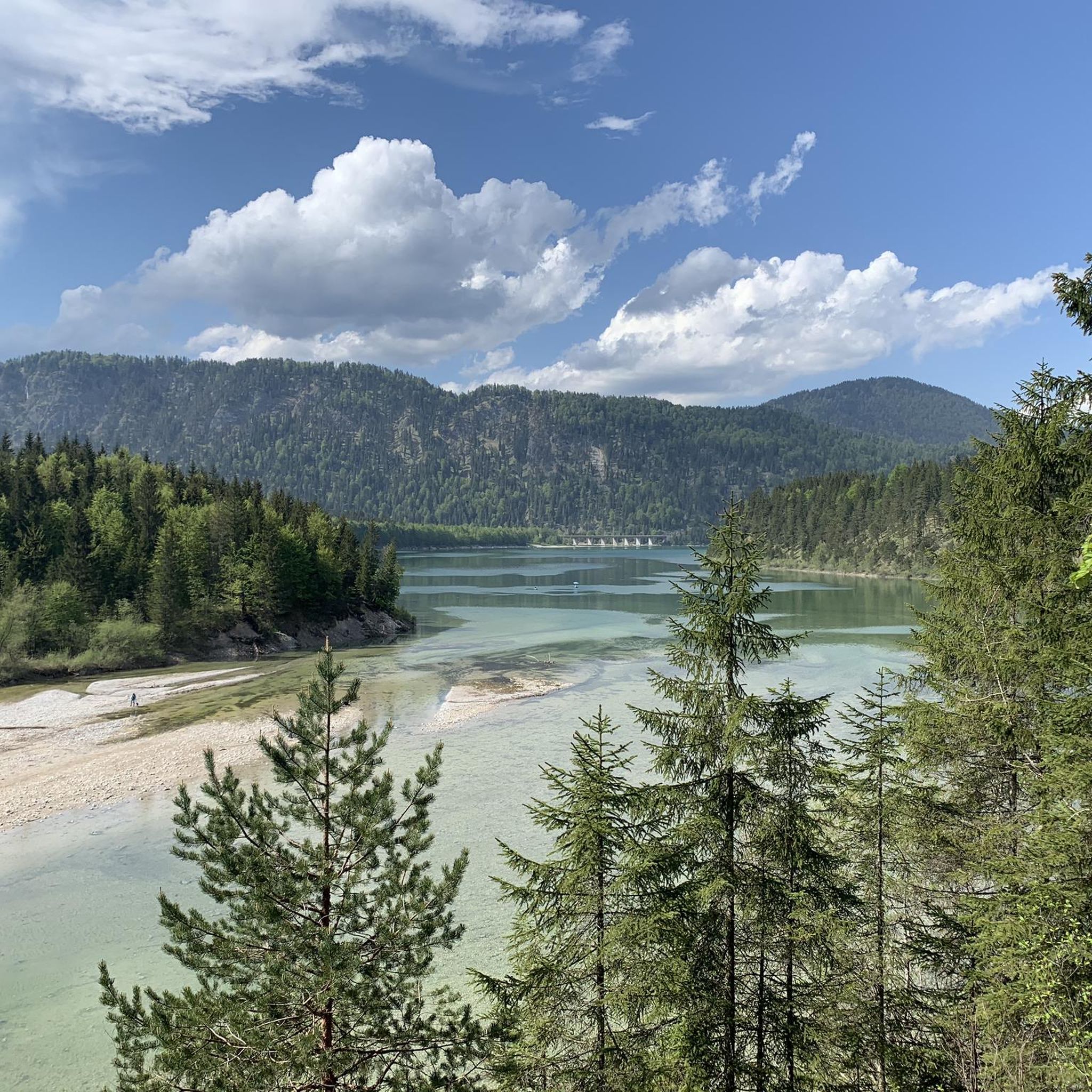
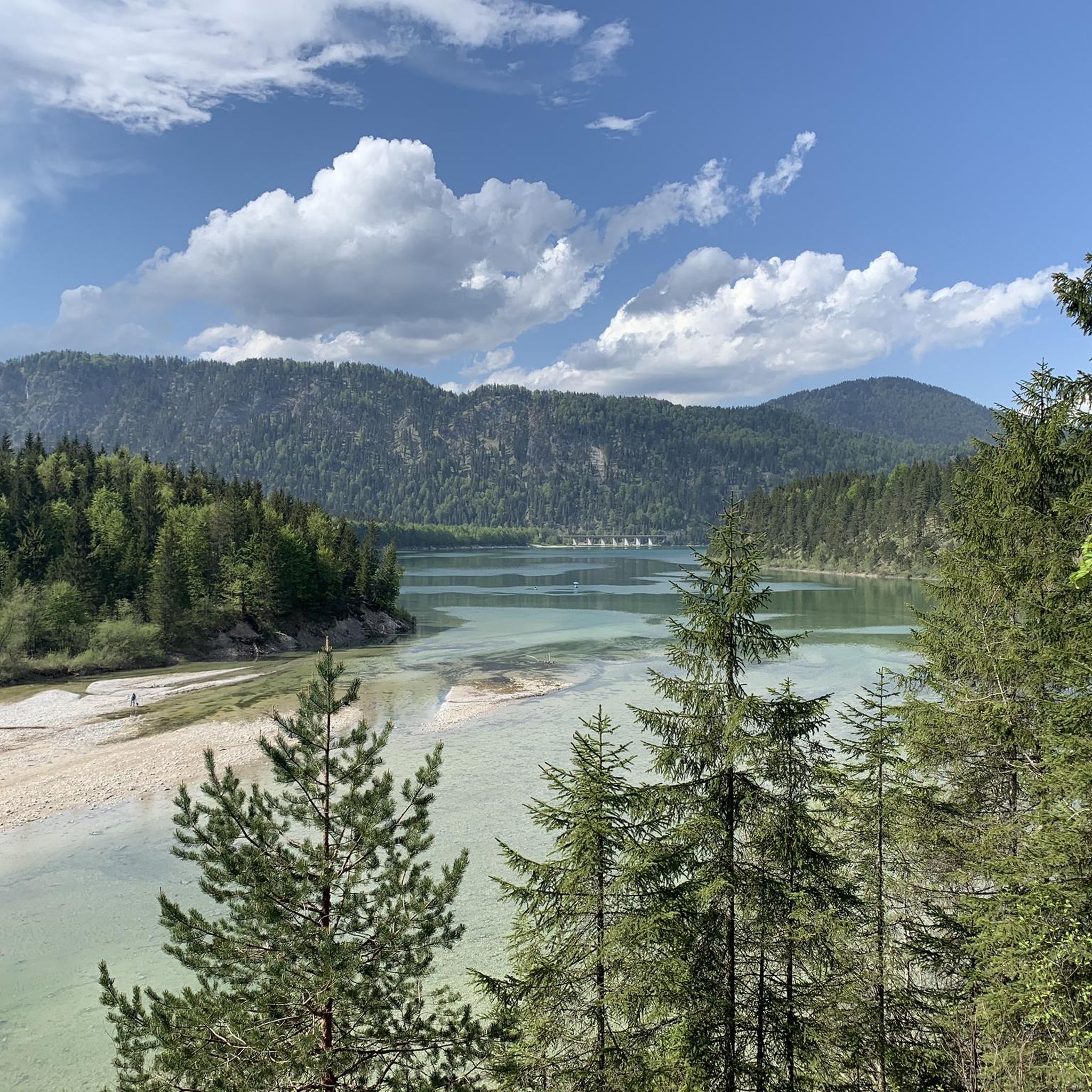
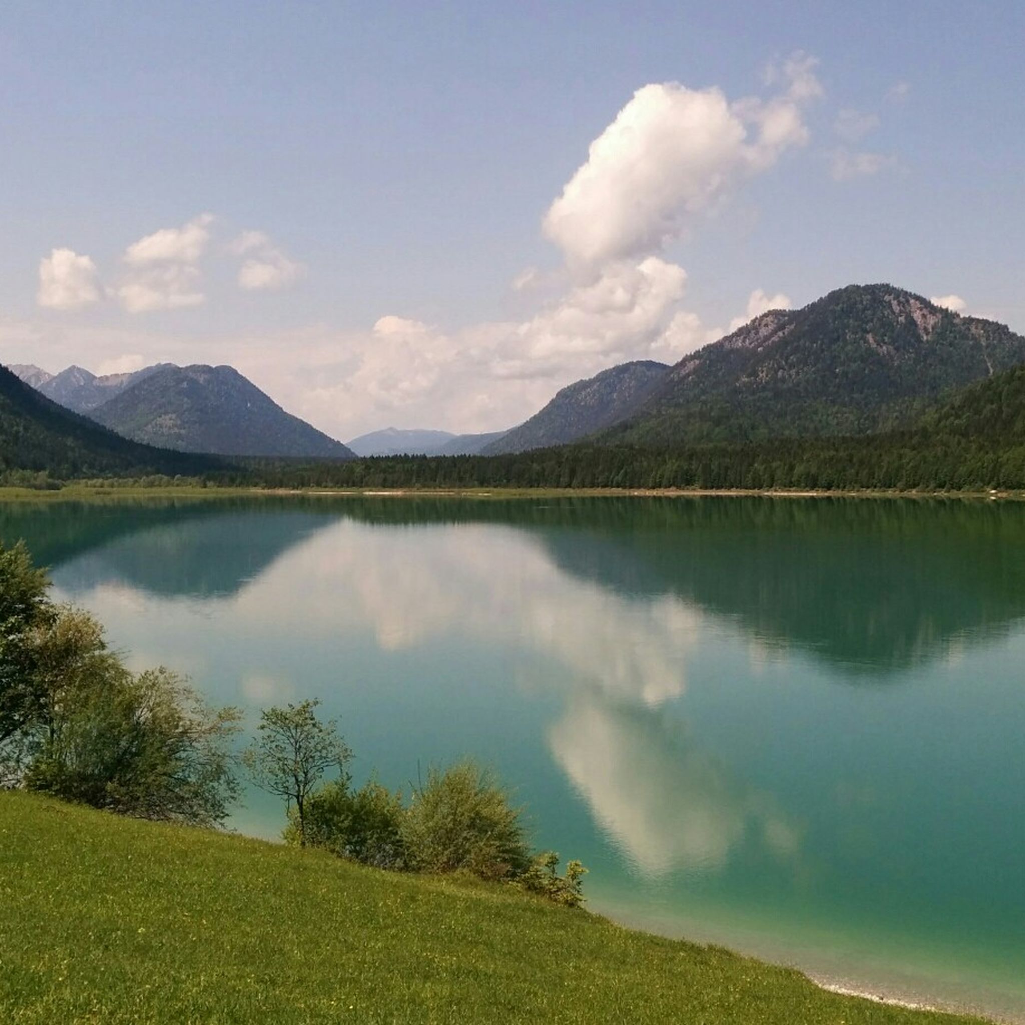

Other adventures around Sylvensteinspeicher

Tips from the Community

Great information about the Karwendel Nature Park and a great HELLO in Hinterriss
3
0
one of several ingenious bridges where you simply have to stop to enjoy the raging water and the play of colors. Simply dreamy ;)
3
0

From my point of view, this section is an absolute must. Every meter is worth it and can be ridden a bit more relaxed. The passage counter-clockwise offers the more impressive panorama.
0
0

The cycle path was named after the late Toni Seber, who had already campaigned for the cycle and footpath connection in the 90s. Signage on the Isar bridge, in Hohenwiesen at the underpass under the B 13, and at the Sylvensteinsee on the dam, points to the cycle and footpath.
0
0

Great view over the lake
0
0

Great road, beautiful breathtaking scenery
1
0

Great lake with good leisure activities
0
0

A short but steep climb up to the tunnel. The good asphalt makes it easy to ride.
0
0
Frequently Asked Questions
How many road cycling routes are available around Sylvensteinspeicher?
There are over 15 road cycling routes around Sylvensteinspeicher, offering diverse terrain from well-paved roads to routes with significant elevation gains. These routes are highly rated by the komoot community, with an average score of 4.6 stars.
What kind of terrain can I expect when road cycling around Sylvensteinspeicher?
The region offers varied terrain, from smooth, well-paved roads suitable for easy rides to more challenging routes with notable climbs and significant elevation gains. You'll cycle through the scenic Isar Valley, enjoying panoramic views of the Sylvensteinsee and surrounding mountain ranges.
Are there any easy road cycling routes for beginners or families?
Yes, there are several easy routes. For a less strenuous ride, consider the View of Sylvenstein Reservoir – Staudammtunnel Ascent loop from Hohenwiesen, which is 16.3 km long and features a moderate ascent.
What are some notable landmarks or viewpoints I can see while cycling?
Cyclists can enjoy impressive views of the fjord-like Sylvenstein Reservoir and the surrounding Bavarian Alps. The Faller Klamm Bridge at the Sylvenstein Reservoir is a popular photo spot, offering stunning vistas. You might also encounter unique features like the Tunnel to Sylvenstein Reservoir.
Are there any circular road cycling routes around Sylvensteinspeicher?
Many routes are designed as loops, allowing you to start and end at the same point. A popular moderate option is the Sylvenstein Reservoir – View of Sylvenstein Reservoir loop from Fall, covering 32.9 km with panoramic reservoir views.
Can I connect to other cycling paths from Sylvensteinspeicher?
Yes, the Sylvensteinspeicher area is well-integrated into broader cycling networks. You can connect to sections of the Isar Cycle Path, allowing for longer tours extending towards places like Bad Tölz, Lenggries, or even Achensee.
What is the best time of year for road cycling in this region?
The region is excellent for road cycling from spring through autumn. The summer months are particularly popular, offering pleasant temperatures for enjoying the scenic routes and the turquoise waters of the reservoir. Winter cycling is possible, but routes may be affected by snow and ice.
Are there any routes that include other lakes besides Sylvensteinsee?
Yes, some routes extend to other beautiful lakes in the area. For example, the South Shore of Walchensee – Jachenau Valley Road loop from Hochmoor an der Schemeralm offers scenic diversity by including Walchensee.
Where can I park my car when starting a road cycling tour?
Parking is generally available at common starting points around the reservoir, such as in Fall or near the dam. It's advisable to check specific route descriptions for recommended parking areas.
Is public transport an option to reach the starting points of road cycling routes?
While the region is primarily accessed by car, some bus services connect surrounding towns like Lenggries and Bad Tölz to the Sylvensteinspeicher area. Check local public transport schedules for routes that accommodate bicycles.
What is the most challenging road cycling route in the area?
For experienced cyclists seeking a challenge, the View of the wild Isar River – Sylvenstein Reservoir loop from Fall is a difficult 88.6 km route with significant elevation gain, offering expansive views of the wild Isar River and the reservoir.
Are there any cafes or places to stop for refreshments along the routes?
While specific cafes directly on every route may vary, the towns and villages surrounding Sylvensteinspeicher, such as Fall, Lenggries, and Bad Tölz, offer various options for refreshments and meals. Some routes may also pass by smaller kiosks or guesthouses.
Most popular routes around Sylvensteinspeicher
Most popular attractions around Sylvensteinspeicher

Get inspired with the komoot mobile app


Explore more
Browse the best Road cycling routes in other regions.
