The best mountain hikes around Bannwaldsee
4.8
(890)
6,717
hikers
88
hikes
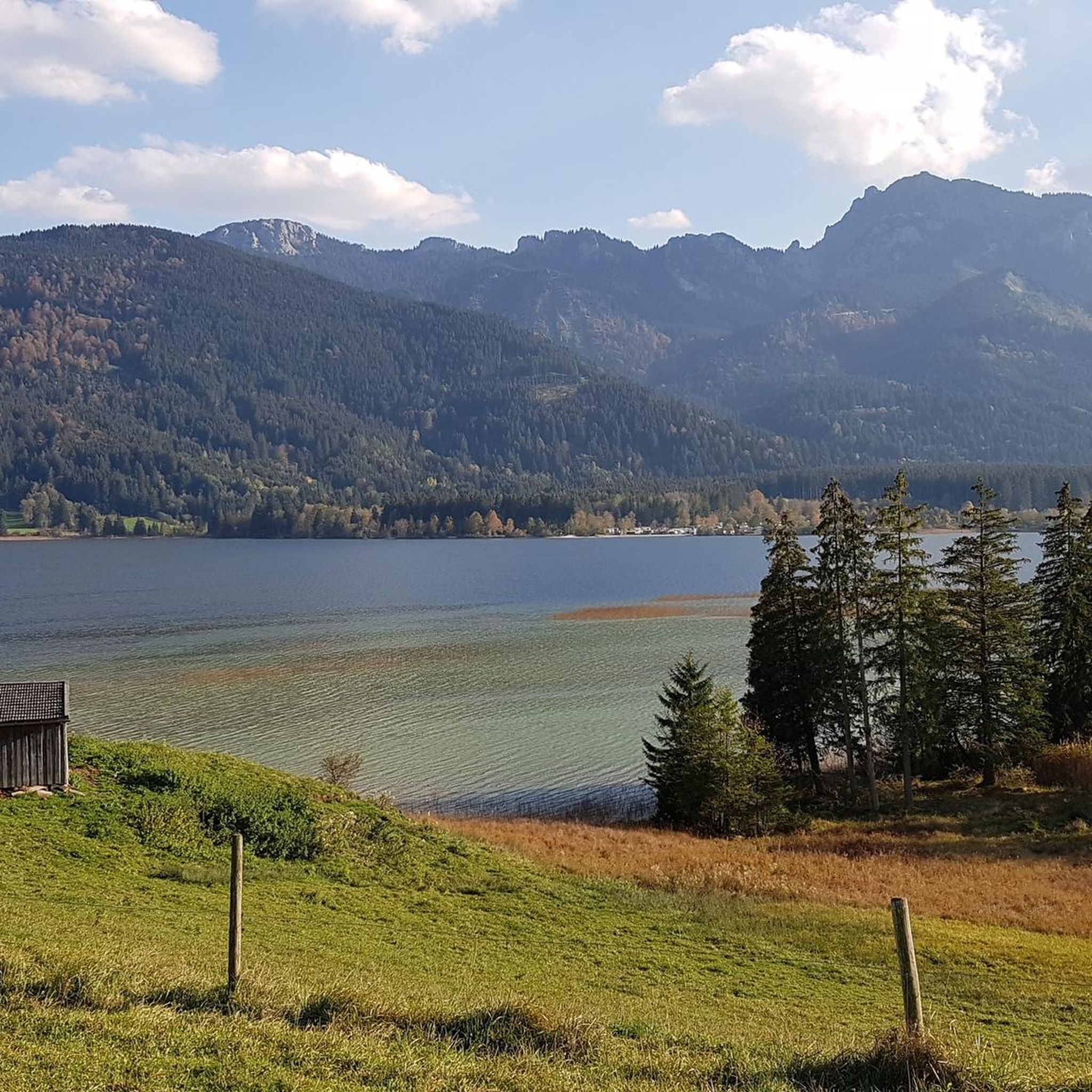
Mountaineering routes around Bannwaldsee are situated in the Bavarian Alps, offering diverse terrain from lower Alpine foothills to higher mountain summits. The region is characterized by its scenic Alpine lakes, dense forests, and dramatic elevation changes, providing a varied landscape for mountaineering. Prominent features include the Tegelberg mountain and views of the surrounding snow-capped peaks.
Best mountaineering routes around Bannwaldsee
- The most popular mountaineering route is Rohrkopf Hut – Branderschrofen Summit loop from Bannwaldsee, a 9.5 miles (15.3 km)…
Last updated: July 1, 2026
4.9
(8)
113
hikers
10.8km
03:29
480m
480m
Moderate mountaineering route. Good fitness required. Easily-accessible paths. Suitable for all skill levels.
4.5
(2)
31
hikers
12.9km
04:26
640m
640m
Moderate mountaineering route. Good fitness required. Mostly accessible paths. Sure-footedness required.

Sign up for free
5.0
(3)
25
hikers
15.7km
05:48
870m
870m
Hard mountaineering route. Very good fitness required. Sure-footedness, sturdy shoes and alpine experience required.
5
hikers
13.4km
06:17
840m
840m
Hard mountaineering route. Very good fitness required. Sure-footedness, sturdy shoes and alpine experience required.
5.0
(1)
6
hikers
14.5km
05:17
740m
740m
Hard mountaineering route. Very good fitness required. Mostly accessible paths. Sure-footedness required.
Get access to more routes and recommendations from other explorers.
Sign up for free
Already have an account?
Our route recommendations are based on thousands of hikes, rides, and runs completed by other people on komoot.
Start today with a free account
Your next adventure awaits.
Login or Signup
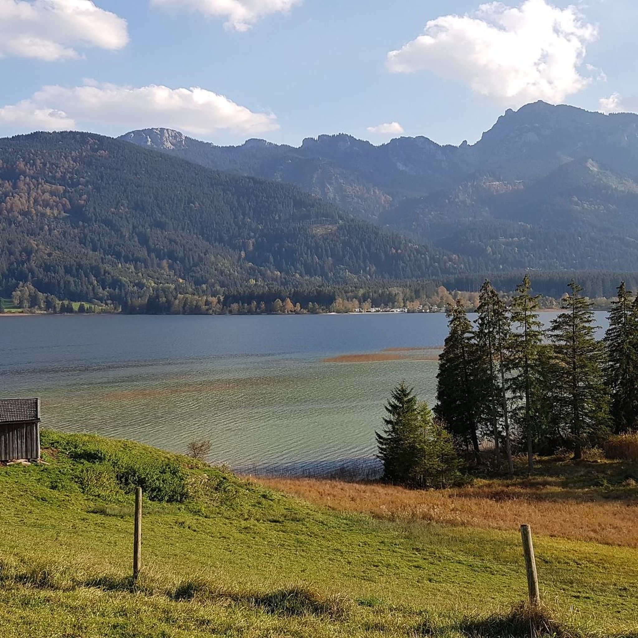
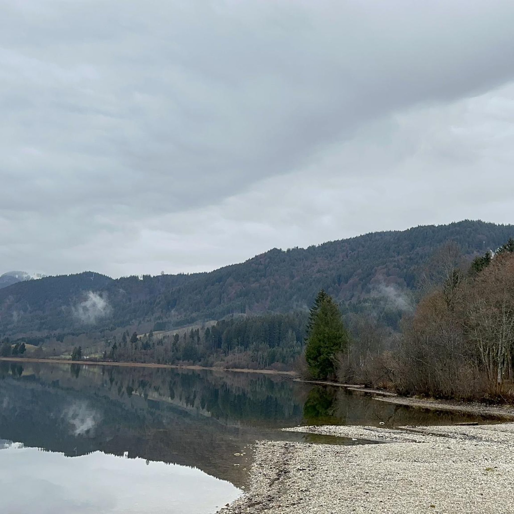
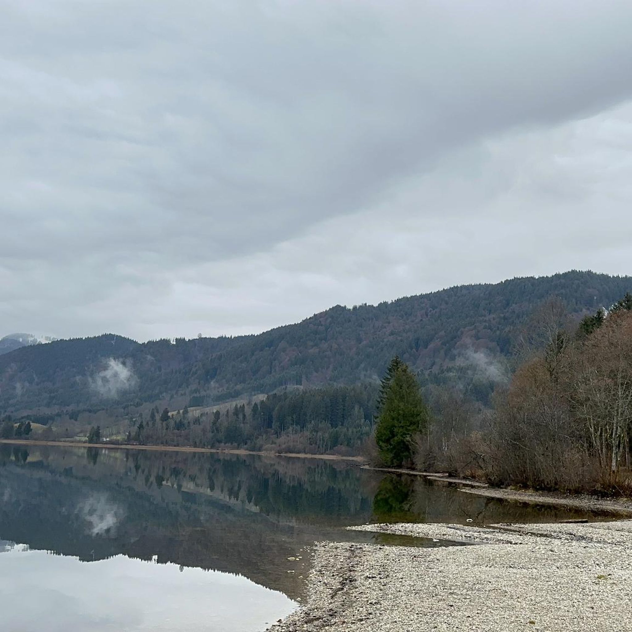
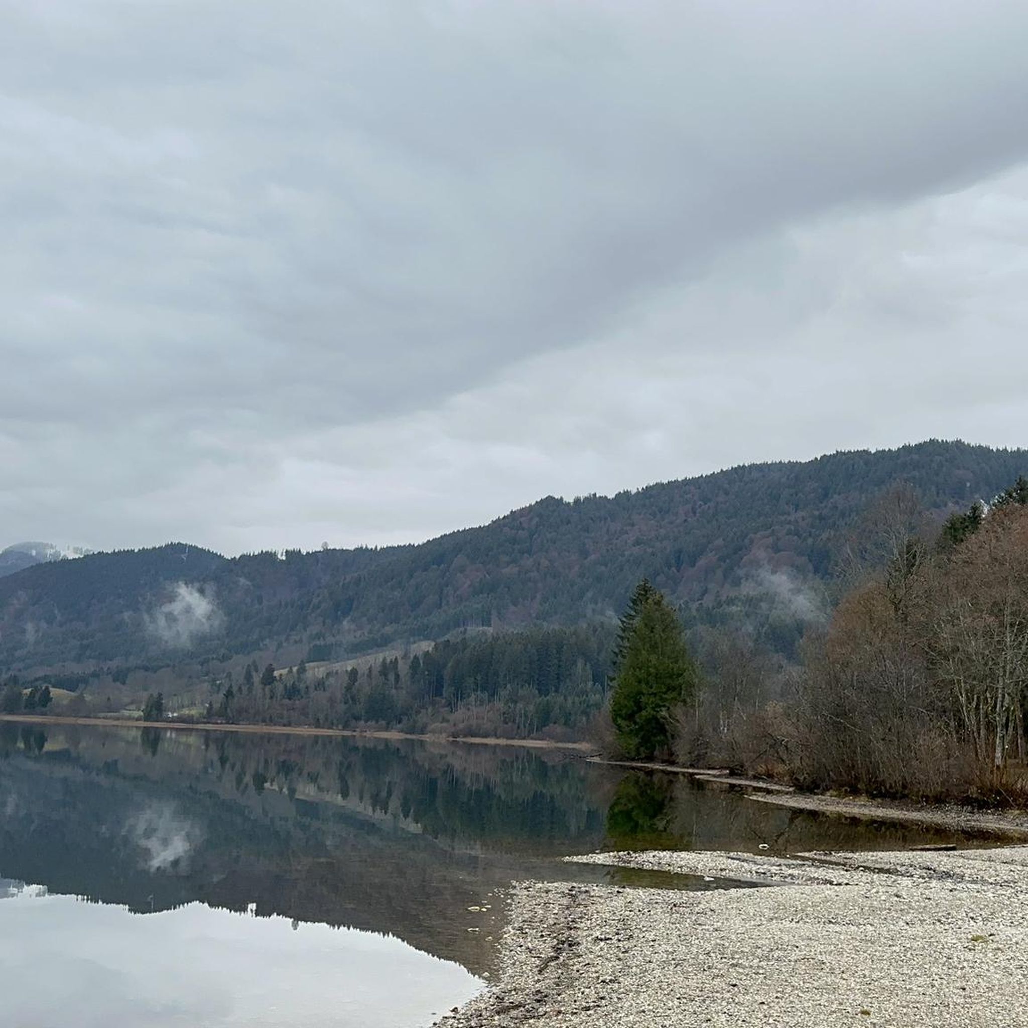
Tips from the Community

Especially beautiful in winter
0
0

Well, I wouldn't call it a waterfall, but it's still beautiful 😉
0
0
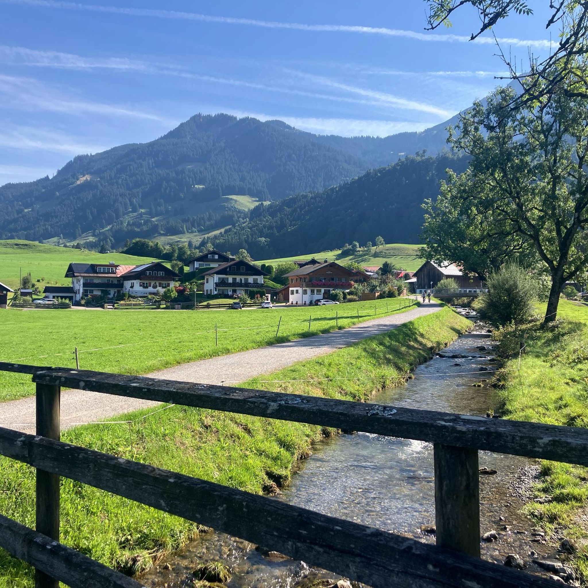
The path along the Tristallbach is usually easy to walk in summer and winter and is a good alternative to and from the Rohrkopfhütte.
0
0
Always beautiful views on the way to and from the Vog to the Rohrkopf.
0
0
Durch die Höll is a great alternative to the other much-trodden paths to and from the Rohrkopfhütte. Lots of water and easy paths.
0
0
The path to the Rohrkopfhütte is steep, but offers wonderful views.
0
0

All alone at the summit cross this morning 🥰
0
0
Frequently Asked Questions
How many mountaineering routes are available around Bannwaldsee?
There are over 90 mountaineering routes around Bannwaldsee, catering to a wide range of abilities. You'll find 1 easy route, 30 moderate routes, and 62 challenging routes for experienced mountaineers.
What kind of terrain can I expect on mountaineering routes near Bannwaldsee?
The terrain around Bannwaldsee is highly varied, ranging from lower Alpine foothills to higher mountain summits. You'll encounter scenic Alpine lakes, dense forests, and dramatic elevation changes. Routes can be well-developed, with some difficult sections secured with ropes, while others demand sure-footedness and alpine experience.
Are there any circular mountaineering routes around Bannwaldsee?
Yes, many routes around Bannwaldsee are circular. For example, the Rohrkopf Hut – Branderschrofen Summit loop is a challenging 15.3 km circular tour, and the View of Bannwaldsee – Revolving hut loop offers a moderate 10.8 km option.
What are some notable landmarks or viewpoints I can see while mountaineering in the region?
The region is rich in stunning views and landmarks. Many routes offer breathtaking views of the surrounding snow-capped mountains and the picturesque Bannwaldsee itself. You can also catch glimpses of the famous Neuschwanstein Castle and Hohenschwangau Castle from various vantage points, or explore the Tegelberg mountain area.
What is the best time of year for mountaineering around Bannwaldsee?
The Bavarian Alps around Bannwaldsee are beautiful year-round, but the best time for mountaineering typically depends on the specific route and your experience. Spring and autumn offer pleasant temperatures and vibrant scenery, while summer provides longer daylight hours. Some higher routes may still have snow into early summer. In winter, cleared hiking trails are available from the Tegelbergbahn mountain station, along with ski routes and cross-country trails.
Are there any family-friendly mountaineering options near Bannwaldsee?
While many mountaineering routes are challenging, there are also easier paths suitable for families. The region offers a diverse range of trails, from leisurely walks to more demanding ascents. Look for routes described as 'easy' or 'moderate' for options that might be more suitable for families, keeping in mind that even moderate routes can involve significant elevation changes.
Can I bring my dog on the mountaineering trails around Bannwaldsee?
Many trails in the Bannwaldsee region are dog-friendly, allowing you to enjoy the mountains with your canine companion. However, it's always advisable to check specific trail regulations, especially in nature reserve areas, and to keep your dog on a leash for their safety and to protect local wildlife.
Are there any routes that feature waterfalls or gorges?
Yes, the region boasts eye-catching cascades and serene streams. The Pöllat Gorge is a notable natural feature, often mentioned in conjunction with Neuschwanstein Castle, and there are numerous waterfall hikes available around Bannwaldsee. While not a direct mountaineering route, the hike to the Kenzenhütte and the Kenzen waterfall is a popular option.
What do other mountaineers say about the routes around Bannwaldsee?
The mountaineering routes around Bannwaldsee are highly rated by the komoot community, with an average score of 4.8 stars from over 800 reviews. Over 6,000 mountaineers have explored this varied terrain, often praising the stunning Alpine scenery, diverse trails, and challenging ascents.
Are there any permits required for specific mountaineering routes, like via ferratas?
For routes like the Tegelbergsteig Via Ferrata – Rohrkopf Hut loop, specific equipment and experience are required. While general hiking trails typically don't need permits, via ferratas often require specialized gear and a good understanding of alpine safety. It's always best to check local regulations and conditions for such technical routes before you go.
Where can I find parking for mountaineering routes near Bannwaldsee?
Parking is generally available at trailheads and popular starting points around Bannwaldsee. Specific parking information can often be found on individual route descriptions or local tourism websites. Some areas, especially near popular attractions like the castles or the Tegelbergbahn, may have designated parking lots, which might incur a fee.
Are there any moderate mountaineering routes that offer great views?
Absolutely. For a moderate challenge with rewarding vistas, consider the Vordermühlberger Älpele – Revolving hut loop. This 12.9 km route features significant elevation gain and offers beautiful views of the surrounding landscape without the extreme difficulty of some summit ascents.
Most popular routes around Bannwaldsee

Get inspired with the komoot mobile app


Explore more
Browse the best Mountain Hikes & Routes in other regions.
