The best walks and hikes around Schwaltenweiher
4.6
(24923)
112,491
hikers
667
hikes
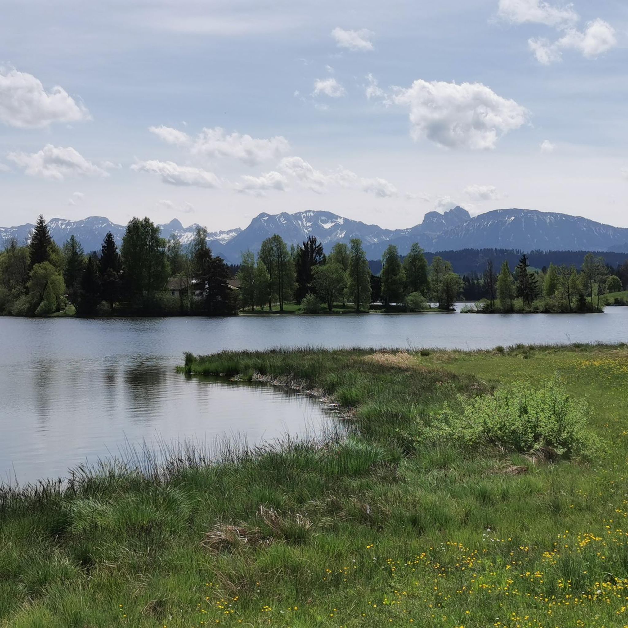
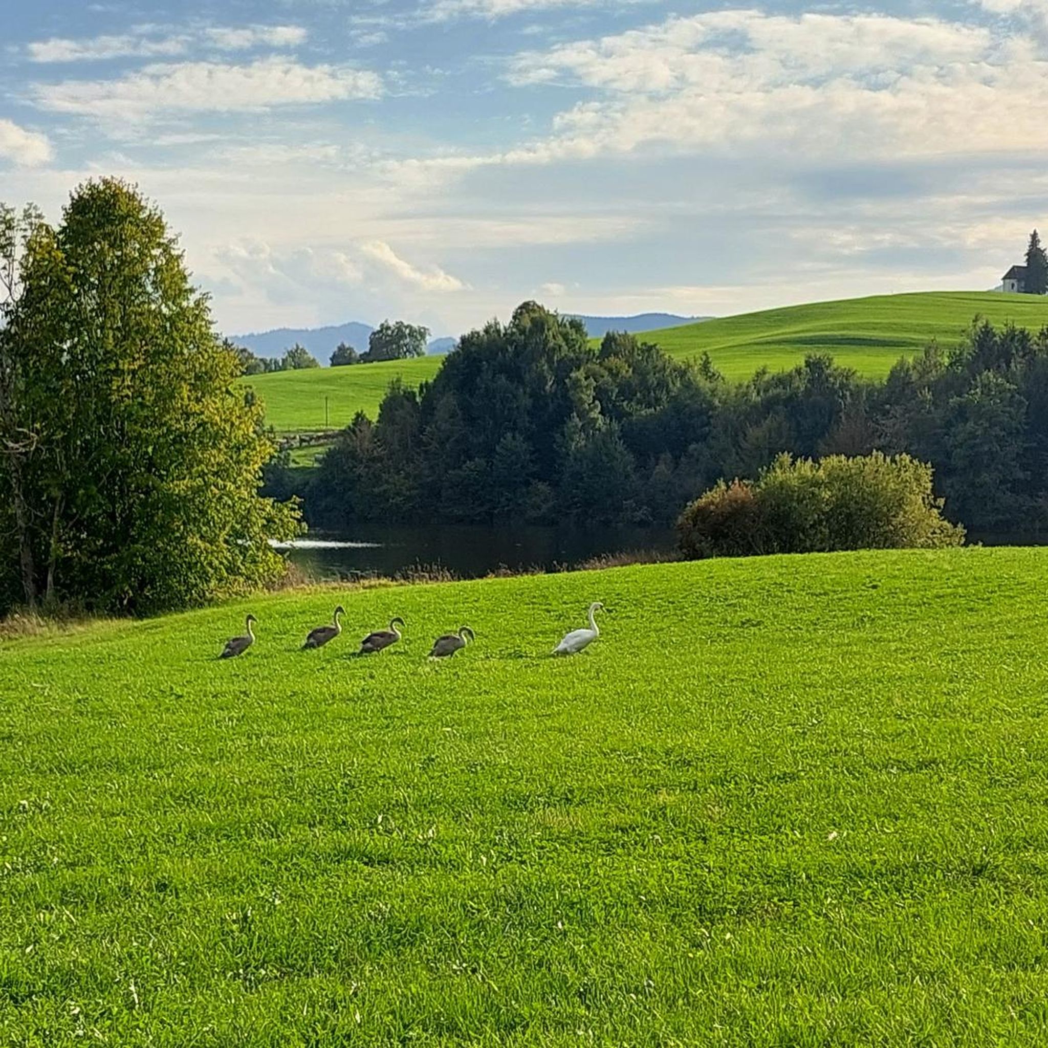
Hiking around Schwaltenweiher offers diverse terrain in the Ostallgäu foothills of the Alps. The region is characterized by an Alpine panorama, encompassing the Allgäu and Tannheim Alps, providing a dramatic backdrop for trails. The immediate surroundings feature hills, meadows, and woodlands, alongside unique peat and fen moors, particularly along the southern shore of the lake. These varied landscapes create a rich environment for outdoor exploration.
Best hiking trails around Schwaltenweiher
- The most popular hiking route is Luimooser Pond – Schwaltenweiher…
Last updated: July 8, 2026
4.8
(147)
598
hikers
9.73km
02:35
100m
100m
Moderate hike. Good fitness required. Easily-accessible paths. Suitable for all skill levels.
4.6
(104)
420
hikers
4.14km
01:05
30m
30m
Easy hike. Great for any fitness level. Easily-accessible paths. Suitable for all skill levels.

Sign up for free
4.9
(18)
77
hikers
14.2km
03:57
250m
250m
Moderate hike. Good fitness required. Easily-accessible paths. Suitable for all skill levels.
4.4
(7)
61
hikers
7.92km
02:05
60m
60m
Moderate hike. Good fitness required. Easily-accessible paths. Suitable for all skill levels.
5.0
(5)
19
hikers
14.0km
03:41
110m
110m
Moderate hike. Good fitness required. Easily-accessible paths. Suitable for all skill levels.
Get access to more routes and recommendations from other explorers.
Sign up for free
Already have an account?
Our route recommendations are based on thousands of hikes, rides, and runs completed by other people on komoot.
Start today with a free account
Your next adventure awaits.
Login or Signup
Tips from the Community


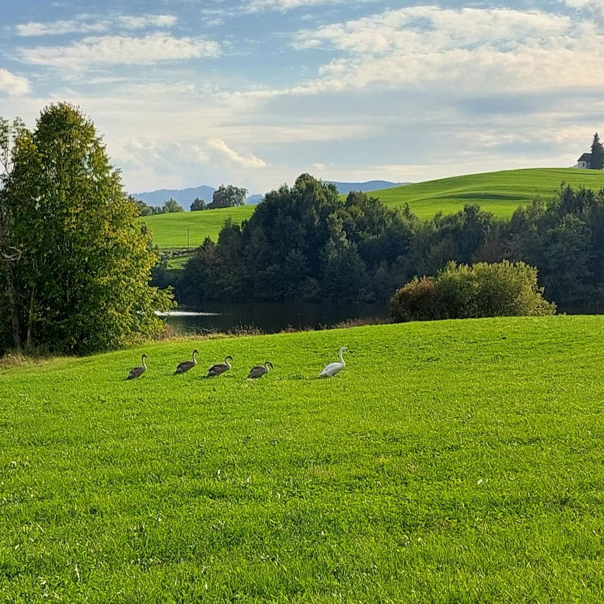
Allgäuer postcard idyll. Everything at a glance.
0
0
Not the only one here. But the most beautiful.
0
0
Don't just look forward. It's worth looking back here.
0
0
Here you will find everything that makes the Allgäu so special.
0
0

An example that humans and nature can coexist. If they want to.
0
0
Allgäu postcard landscape. No cliché. Do this tour and you will be convinced.
0
0

Simply a wonderful area here, with these many ponds and lakes!
0
0
Frequently Asked Questions
How many hiking trails are available around Schwaltenweiher?
There are over 650 hiking routes around Schwaltenweiher, offering a wide range of options for different skill levels and preferences. This includes more than 380 easy trails, 240 moderate routes, and 20 more challenging hikes.
What kind of landscapes can I expect to see while hiking near Schwaltenweiher?
Hiking around Schwaltenweiher offers a diverse landscape. You'll experience breathtaking Alpine panoramas, encompassing the Allgäu and Tannheim Alps, especially from elevated points like Goldhasen. The immediate surroundings feature rolling hills, lush meadows, and serene woodlands. A unique highlight is the presence of peat and fen moors, particularly along the southern shore of the lake, which are significant for their biodiversity.
Are there any easy, family-friendly walks around Schwaltenweiher?
Yes, there are many easy and family-friendly options. The well-maintained circular trail around Schwaltenweiher Lake is a popular choice, taking about an hour with minimal elevation changes. Another excellent easy route is the Small chapel in Allgäu – Chapel at Goldhasen loop from Seeg (VGem), which is 2.6 miles (4.1 km) long and leads to the chapel at Goldhasen, offering scenic views across the lake.
What are the unique natural features to look out for on hikes in this region?
The most unique natural features are the extensive peat and fen moors found around Schwaltenweiher, especially along the southern shore. These rare ecosystems are home to specialized plant life like cotton grass and sundew, and the area is also designated as a bird sanctuary, providing a habitat for various avian species. The lake itself, with its clear spring water, is also a beautiful natural highlight.
Are there any circular hiking routes around Schwaltenweiher?
Yes, circular routes are very popular here. The most popular hiking route is the Luimooser Pond – Schwaltenweiher Lake loop from Seeg (VGem), a 6.0 miles (9.7 km) trail that circles the lake and its surrounding natural features. Another option is the Neuweiher – Neuweiher near Goldhasen loop from Seeg (VGem), a moderate 7.9 km route.
What do other hikers enjoy most about hiking in Schwaltenweiher?
The area is highly rated by the komoot community, with an average score of 4.6 stars from over 23,000 reviews. Hikers frequently praise the stunning Alpine panoramas, the peaceful atmosphere of the unique moorlands, and the variety of trails suitable for all abilities, from easy lakeside strolls to more challenging excursions through historical sites.
Are there any historical sites or landmarks accessible via hiking trails?
Yes, the region offers trails that pass by historical sites. For example, the Eisenberg Castle Ruins – Hohenfreyberg Castle Ruins loop from Seeg (VGem) is an 8.8 miles (14.2 km) trail that leads through varied landscapes and past these significant historical ruins, offering a glimpse into the area's past.
What attractions are near the hiking trails around Schwaltenweiher?
Beyond the trails themselves, you can explore several attractions. The Schwalten Pond (Schwaltenweiher Lake) is a central attraction, popular for swimming and boating. You might also encounter the Ruchholz Countryside Route or the Schwalterweiher Lake Bath and Beer Garden, which offers a place to relax after your hike.
Is there good parking available for hikers at Schwaltenweiher?
While specific parking locations are not detailed in the route descriptions, areas popular for hiking, especially around the lake and starting points for routes like those from Seeg (VGem), typically offer designated parking facilities. It's advisable to check local signage upon arrival.
Can I find trails with good viewpoints of the Alps?
Absolutely. The region is known as a 'balcony seat before the Alps,' offering spectacular panoramic views. From elevated points, such as the hamlet of Goldhasen, you can enjoy expansive vistas across Schwaltenweiher Lake to the majestic Allgäu and Tannheim Alps. Many trails are designed to maximize these scenic opportunities, such as the Kögel Pond – Kögelweiher — Views of the Alps loop from Seeg (VGem).
Are there any opportunities for wild swimming or water activities near the hiking trails?
Yes, Schwaltenweiher Lake itself is a popular spot for water activities. It's a bathing lake with clear spring water and a natural outdoor pool, perfect for swimming. You can also find rowboat rentals, and the lake is known for fishing, making it a great place to cool off or relax after a hike.
Most popular routes around Schwaltenweiher
Most popular attractions around Schwaltenweiher

Get inspired with the komoot mobile app


Explore more
Browse the best Hikes in other regions.
