The best road cycling routes around Speichersee
4.5
(1739)
20,138
riders
578
rides
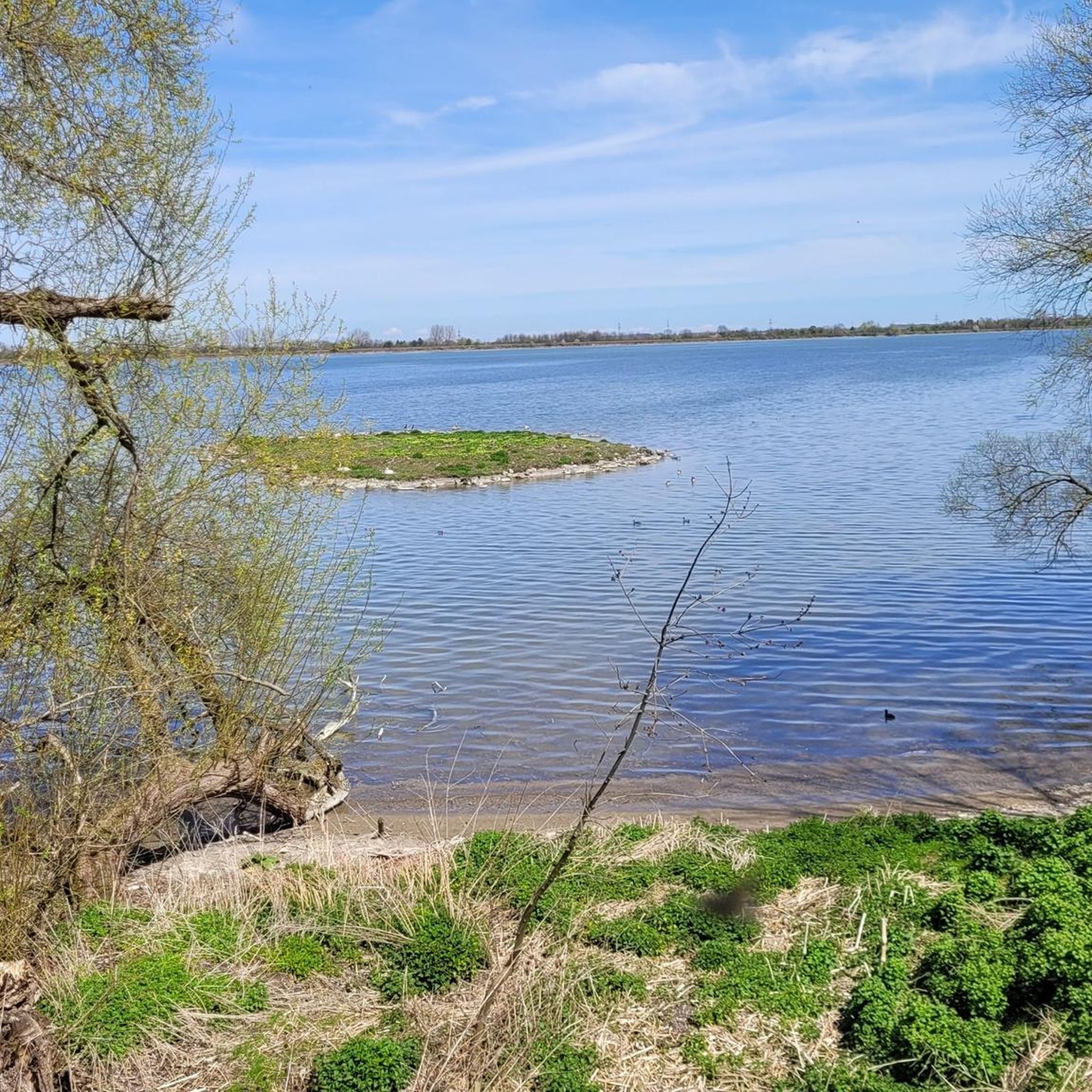
Road cycling around Speichersee features a network of routes through the flat to gently rolling landscape of Landkreis München. The region is characterized by open fields, quiet country roads, and small villages, offering a consistent riding experience. Elevation gains are generally low, making the area suitable for various fitness levels. Many routes incorporate shaded pathways and pass by local points of interest.
Best road cycling routes around Speichersee
- The most popular road cycling route is Shaded Pathway Near Pliening –…
Last updated: October 8, 2026
4.7
(7)
132
riders
46.0km
01:45
100m
100m
Easy road ride. Great for any fitness level. Mostly well-paved surfaces and easy to ride.
22
riders
Easy road ride. Great for any fitness level. Mostly well-paved surfaces and easy to ride.

5.0
(1)
19
riders
65.2km
02:46
470m
470m
Moderate road ride. Good fitness required. Mostly well-paved surfaces and easy to ride.
21
riders
21.6km
00:52
70m
70m
Easy road ride. Great for any fitness level. Mostly well-paved surfaces and easy to ride.
15
riders
Moderate road ride. Good fitness required. Mostly well-paved surfaces and easy to ride.
Get access to more routes and recommendations from other explorers.
Already have an account?
Our route recommendations are based on thousands of hikes, rides, and runs completed by other people on komoot.
Start today with a free account
Your next adventure awaits.
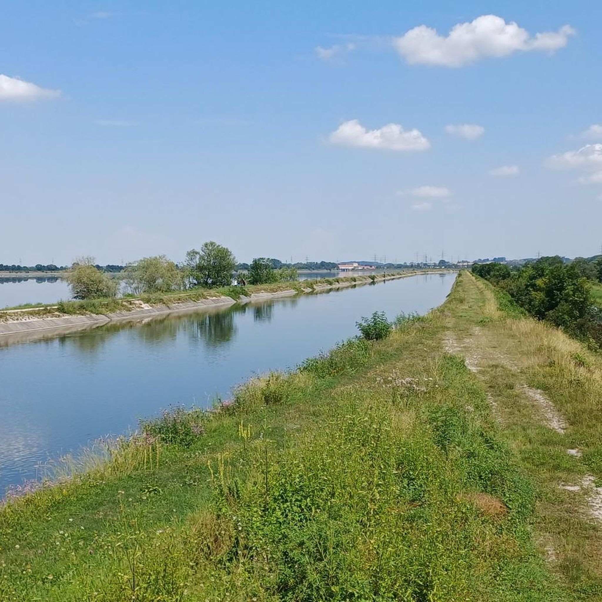
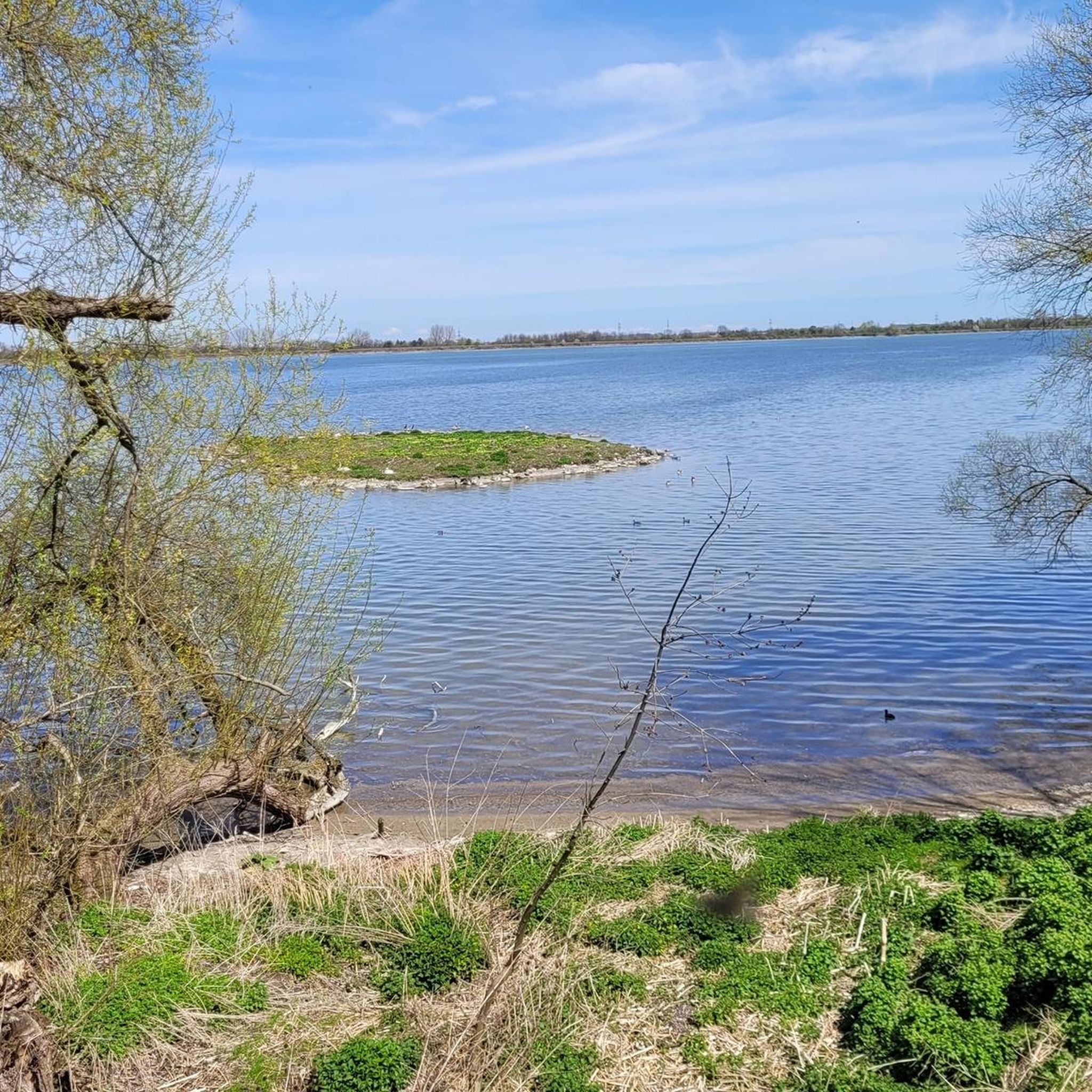
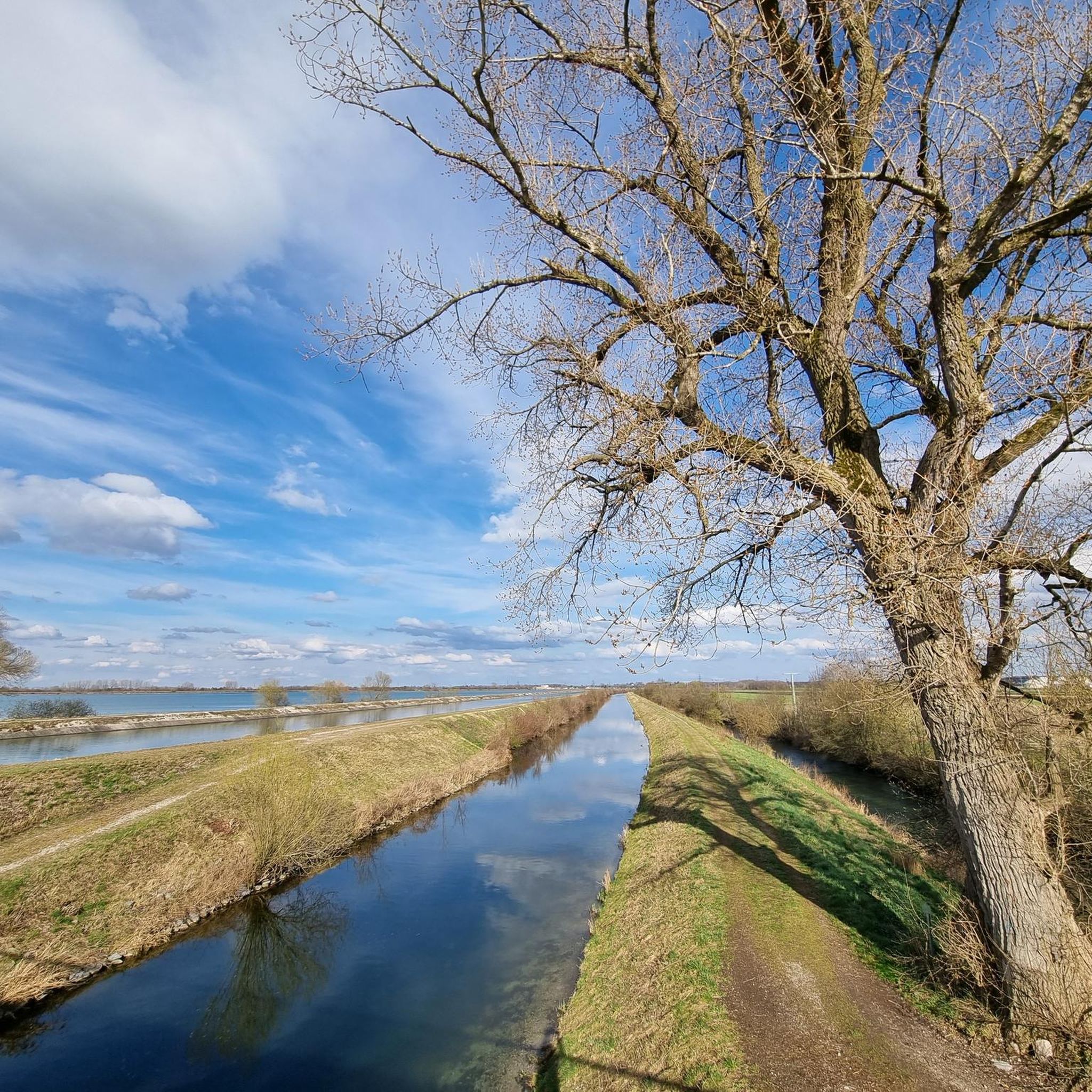
Tips from the Community

Great route, perfect for a leisurely bike ride. ...
0
0


Wikipedia (Neufinsing Power Plant, 2025-04-21): https://de.m.wikipedia.org/wiki/Kraftwerk_Neufinsing Wikipedia (List of listed buildings in Finsing, 2025-04-21): https://de.m.wikipedia.org/wiki/Liste_der_Baudenkmäler_in_Finsing “Finsing Hydroelectric Power Plant ... hydroelectric power plant built by Bayernwerke AG (formerly Mittlere Isar GmbH) between 1921 and 1924 as the second stage of the Middle Isar power plant staircase. The architectural design was by Otho Orlando Kurz, Munich, in the form of reduced classicism; ... D-1-77-118-3” Wikipedia (List of hydroelectric power plants on the Isar, 2025-04-21): https://de.m.wikipedia.org/wiki/Liste_von_Wasserkraftwerken_an_der_Isar
2
0

Great route amidst the power lines
0
0

The curve directly at the exit from Holzhausen towards Oberneuching is a little hairy... It's not that sharp but it's quite confusing and when oncoming traffic in the form of a large tractor with a slurry tanker cuts across it, it gets tight. Otherwise, the route offers a lot of relaxation and good visibility.
0
0

Super newly developed cycle path
0
0

Hardly any car traffic on Sundays; on weekdays there is little agricultural traffic.
0
0

The run-of-river power plant was built by Bayernwerke AG in 1921-24 as the second stage of the Middle Isar power plant staircase. The architectural design was carried out by Otho Orlando Kurz, Munich, in the form of reduced classicism. In the machine hall, two large Francis turbines, which were manufactured in 1923 and 1924 by Fritz Neumeyer AG, Munich, are located in the center of the building. One of these turbines from the Pfrombach power plant is on display in front of the main entrance area.
3
2
Frequently Asked Questions
How many road cycling routes are available around Speichersee?
There are over 500 road cycling routes available around Speichersee, catering to various preferences and skill levels. The region offers a diverse network of paths through its flat to gently rolling landscape.
Are there road cycling routes suitable for beginners or families around Speichersee?
Yes, Speichersee is well-suited for beginners and families due to its generally low elevation gains and flat to gently rolling terrain. There are 177 easy routes, such as the St. Laurentius Church, Purfing – Baldham–Purfing Country Road loop from Pliening, which is 15.1 miles (24.2 km) long and takes about 58 minutes.
What kind of terrain can I expect on road cycling routes in the Speichersee area?
The Speichersee area is characterized by a network of routes through flat to gently rolling landscapes. You can expect open fields, quiet country roads, and small villages. Many routes also incorporate shaded pathways, offering a consistent and pleasant riding experience with generally low elevation gains.
Are there any challenging road cycling routes for advanced riders near Speichersee?
While the region is known for its gentle terrain, there are routes that offer a more extended challenge. For instance, the Wiflinger Weiher – Rollerfeld Country Road loop from Vorderes Finsingermoos is a moderate 40.5 miles (65.2 km) route with a notable elevation gain of 468 meters, providing a longer ride for experienced cyclists.
What are the best times of year for road cycling around Speichersee?
The best times for road cycling around Speichersee are typically spring, summer, and early autumn. During these seasons, the weather is generally mild, and the open fields and country roads are most enjoyable. Winter conditions can vary, so it's advisable to check local weather forecasts for ice or snow before planning a ride.
Are there circular road cycling routes available in the Speichersee region?
Yes, many road cycling routes around Speichersee are designed as loops, allowing you to start and end at the same point. Examples include the popular Shaded Pathway Near Pliening – Goldach–Zengermoos Road loop from Finsing, which is 28.7 miles (46.2 km) long, and the Shaded Pathway Near Pliening – Goldach–Zengermoos Road loop from Pliening, covering 25.6 miles (41.2 km).
What can I see along the road cycling routes around Speichersee?
Along the road cycling routes, you can enjoy views of open countryside, small villages, and local landmarks. The area is also close to several beautiful lakes. You might pass by highlights such as the Ismaning Reservoir or the Path from the Dam to the Power Plant (Ismaninger Reservoir), offering scenic breaks during your ride.
Are there any scenic viewpoints or hidden gems for road cyclists in Speichersee?
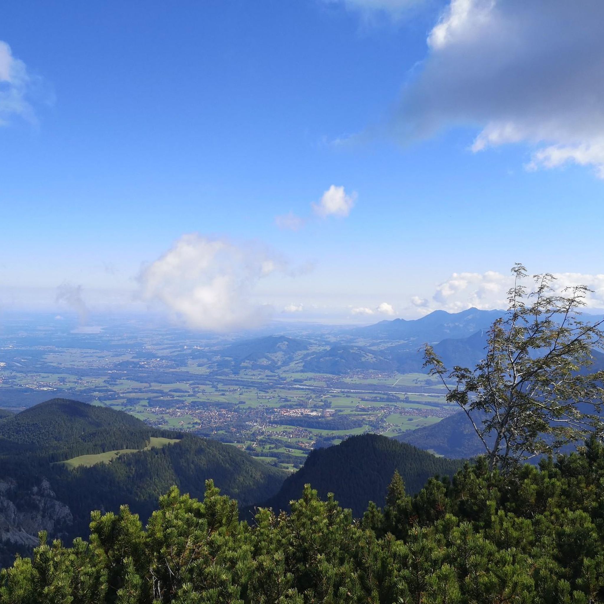
While the region is generally flat, routes often offer picturesque views of the surrounding countryside and glimpses of the Alps on clear days, such as on the View of the Alps from Gelting – Historic House in Finsing loop from Pliening. The charm lies in discovering quiet country roads and peaceful village settings away from main traffic.
What do other road cyclists enjoy most about road cycling in Speichersee?
The road cycling routes in Speichersee are highly rated by the komoot community, with an average score of 4.6 stars from over 1,100 reviews. Cyclists often praise the quiet country roads, the consistent riding experience through open fields, and the well-maintained pathways that make for enjoyable rides.
Is there parking available for road cyclists near the routes in Speichersee?
Yes, parking is generally available in the small villages and towns that serve as starting points for many routes around Speichersee. It is advisable to check specific starting points for designated parking areas or public parking facilities before your ride.
Are there places to stop for refreshments or cafes along the road cycling routes?
The routes often pass through small villages where you can find local cafes or bakeries for refreshments. While specific cafes are not listed for every route, the presence of villages along the paths means opportunities for a break and a snack are usually available.
Most popular routes around Speichersee
Most popular attractions around Speichersee

Get inspired with the komoot mobile app


Explore more
Browse the best Road cycling routes in other regions.
