The best mountain hikes around Höllensteinsee
4.8
(12)
78
hikers
8
hikes
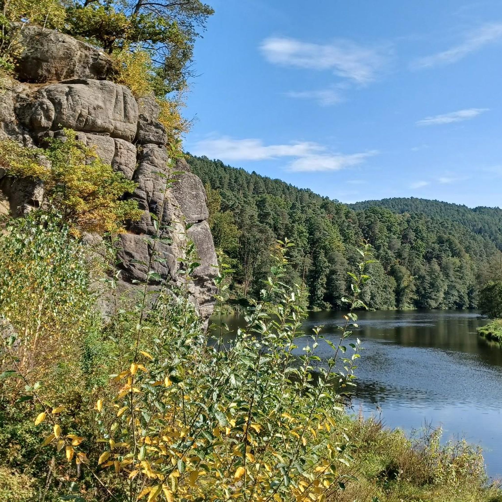
Mountaineering around Höllensteinsee offers access to rugged mountainous terrain within the Bavarian Forest, characterized by dense forests and the serene lake environment. The region, often called "Bavarian Canada," features a network of trails leading to significant peaks like Großer Arber and Falkenstein. These routes provide varied challenges, from ascents through forested hills to paths offering expansive views. The landscape combines tranquil waterscapes with demanding mountain environments.
Best mountaineering routes around Höllensteinsee
- The most popular mountaineering route is Cross rocks –…
Last updated: October 9, 2026
4.3
(3)
14
hikers
10.6km
04:00
540m
540m
Hard mountaineering route. Good fitness required. Sure-footedness, sturdy shoes and alpine experience required.
5.0
(1)
16
hikers
6.15km
02:31
290m
290m
Hard mountaineering route. Good fitness required. Sure-footedness, sturdy shoes and alpine experience required.

8
hikers
12.7km
04:21
450m
440m
Hard mountaineering route. Good fitness required. Sure-footedness, sturdy shoes and alpine experience required.
4.7
(3)
6
hikers
13.2km
05:04
540m
540m
Hard mountaineering route. Very good fitness required. Sure-footedness, sturdy shoes and alpine experience required.
6
hikers
3.39km
01:30
220m
210m
Hard mountaineering route. Great for any fitness level. Sure-footedness, sturdy shoes and alpine experience required.
Get access to more routes and recommendations from other explorers.
Already have an account?
Our route recommendations are based on thousands of hikes, rides, and runs completed by other people on komoot.
Start today with a free account
Your next adventure awaits.

Tips from the Community

... Gesenke sounds so friendly and harmless, but this saddle should not be underestimated ...
0
0

You should also take a break in between
0
0

very interesting construction! 😃
0
0

Finally a stylish bench to take a break from. Invites you to linger.
0
0
Nice idea, near the Kreuzfelsen (999m).
1
0

Great signpost something you rarely see on a mountain top.
5
0

Climbing area "Glass Shards Quarter" was closed for safety reasons, and a protection zone for the lynx was set up.
5
0
Very nice view of the Bavarian Forest, the small detour is worth it. From the 2 benches you can enjoy the magnificent view particularly well during a break.
5
0
Frequently Asked Questions
How many mountaineering routes are available around Höllensteinsee?
There are 8 dedicated mountaineering routes around Höllensteinsee, offering a range of challenging ascents through the rugged terrain of the Bavarian Forest. The region is known for its dense forests and distinctive rock formations.
Are there any easier mountaineering routes for beginners?
While most mountaineering routes around Höllensteinsee are considered difficult, there is one moderate route available. The area is primarily suited for experienced mountaineers seeking challenging ascents, often involving significant elevation gain.
What kind of natural features and landmarks can I expect to see on these routes?
The routes often lead through vivid green forests and along bubbling creeks, characteristic of the 'Bavarian Canada' nickname for the region. You might encounter distinctive rock formations, and the area is a great base for accessing significant peaks like Großer Arber and Falkenstein. The Schwarzer Regen river, which forms Höllensteinsee, is also a prominent feature.
Are there any circular mountaineering routes in the area?
Yes, several routes are circular, allowing you to start and end in the same location. An example is the challenging Cross rocks – Kötztinger Hut loop from Bad Kötzting, which covers 10.6 km and takes about 4 hours.
What do other mountaineers enjoy most about the routes around Höllensteinsee?
The routes in Höllensteinsee are highly rated by the komoot community, with an average score of 4.7 stars. Reviewers often praise the rugged mountainous terrain, the distinctive rock formations, and the challenging ascents that define the region's mountaineering experience.
Are there any routes that feature interesting rock formations or caves?
Absolutely. The region is known for its unique geological features. You can explore routes like the Cross rocks – Ascent to the Räuber-Heigl Cave loop from Reitenberg, which includes a challenging climb to a notable cave formation, or the Rauchröhren rock formations – Cross Rock loop from Reitenberg.
Can I find routes that offer expansive views?
Many routes in the Bavarian Forest provide stunning vistas. While Höllensteinsee itself offers serene waterscapes, the surrounding mountains like Großer Arber and Falkenstein are renowned for their gorgeous panoramic views, sometimes even extending to the Alps on clear days from places like the shelter on Great Falkenstein.
Are there any specific attractions near the mountaineering trails?
Beyond the trails, you can visit the Höllenstein Hydroelectric Power Plant, which is an attraction in its own right, or enjoy the view from the Höllenstein Dam. For those interested in climbing, there are also Climbing Rocks at Rugenmühle Bridge nearby.
Are there any less crowded trails for a more secluded experience?
While specific crowd levels vary, the region's extensive network of trails through dense forests means it's often possible to find quieter sections. Exploring routes that venture deeper into the natural park, away from the immediate lakeside, can offer a more secluded mountaineering experience.
What is the best time of year for mountaineering around Höllensteinsee?
The warmer months, from late spring to early autumn, generally offer the best conditions for mountaineering, with trails being clear of snow and ice. This allows for safe passage through the rugged terrain and better enjoyment of the forested landscapes and views. Always check local weather conditions before heading out.
Are there any shorter, yet still challenging, mountaineering options?
Yes, for those looking for a shorter but still demanding experience, the Cross Rock – Kreuzfelsen Summit (999 m) loop from Reitenberg is a difficult 3.1 km route. It offers a significant ascent within a more compact timeframe.
Are there any routes that feature waterfalls?
While not directly on the listed mountaineering routes, the region is home to the 'Höllbachgspreng,' a gorge with a beautiful waterfall. This area offers a challenging descent for experienced hikers and is often described as resembling a jungle, providing a unique natural spectacle.
Most popular routes around Höllensteinsee
Most popular attractions around Höllensteinsee

Get inspired with the komoot mobile app


Explore more
Browse the best Mountain Hikes & Routes in other regions.
