The best walks and hikes around Elbsee
4.5
(3418)
15,934
hikers
499
hikes
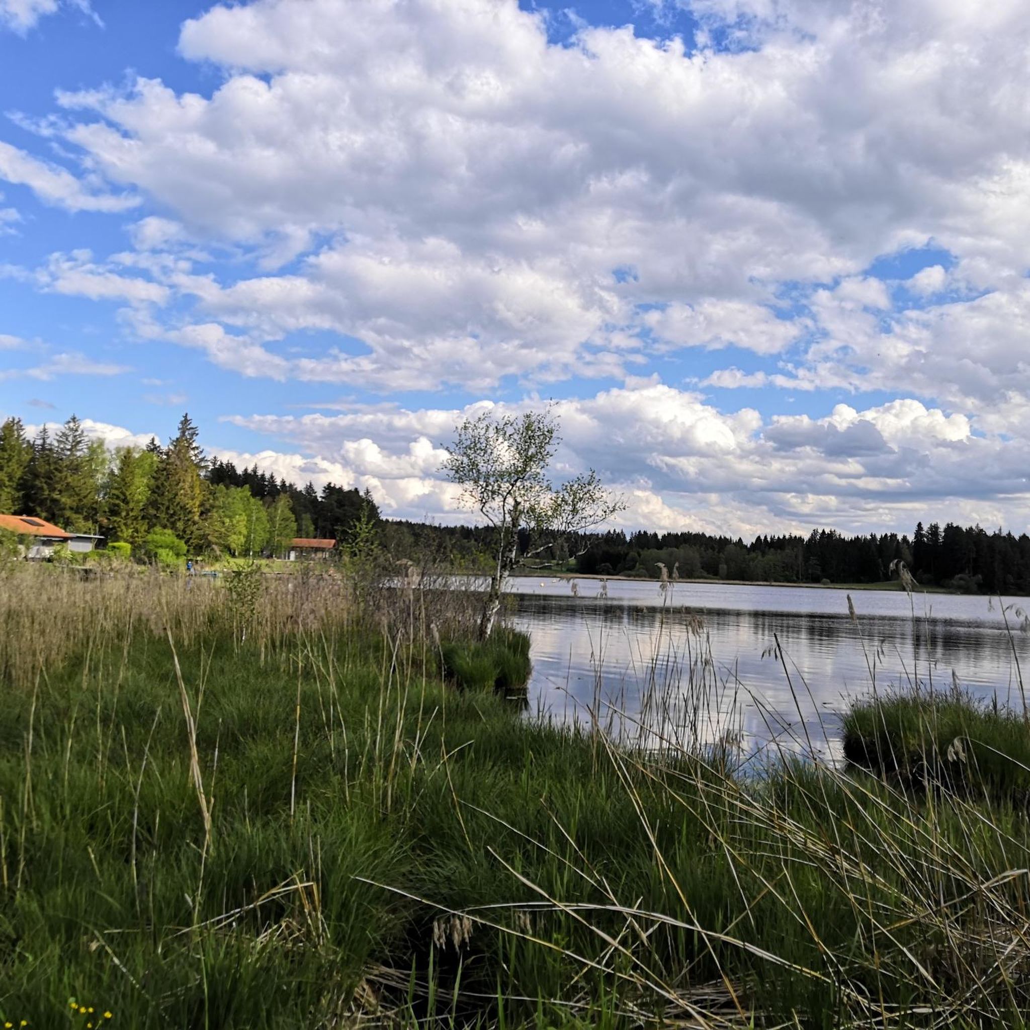
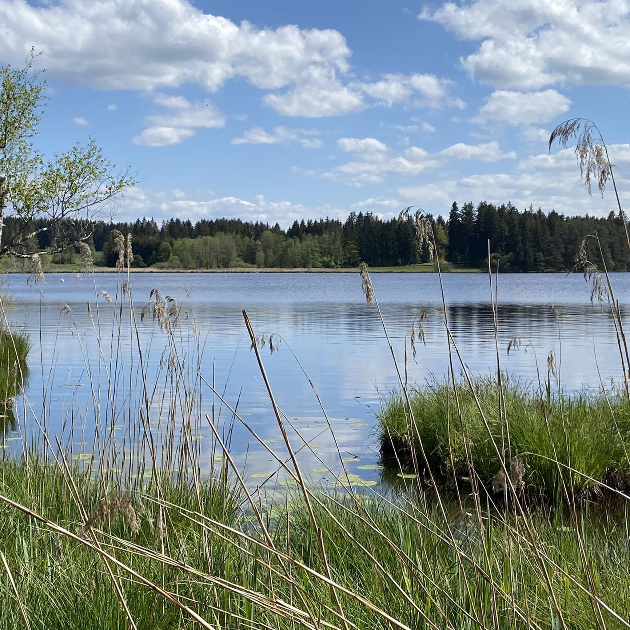
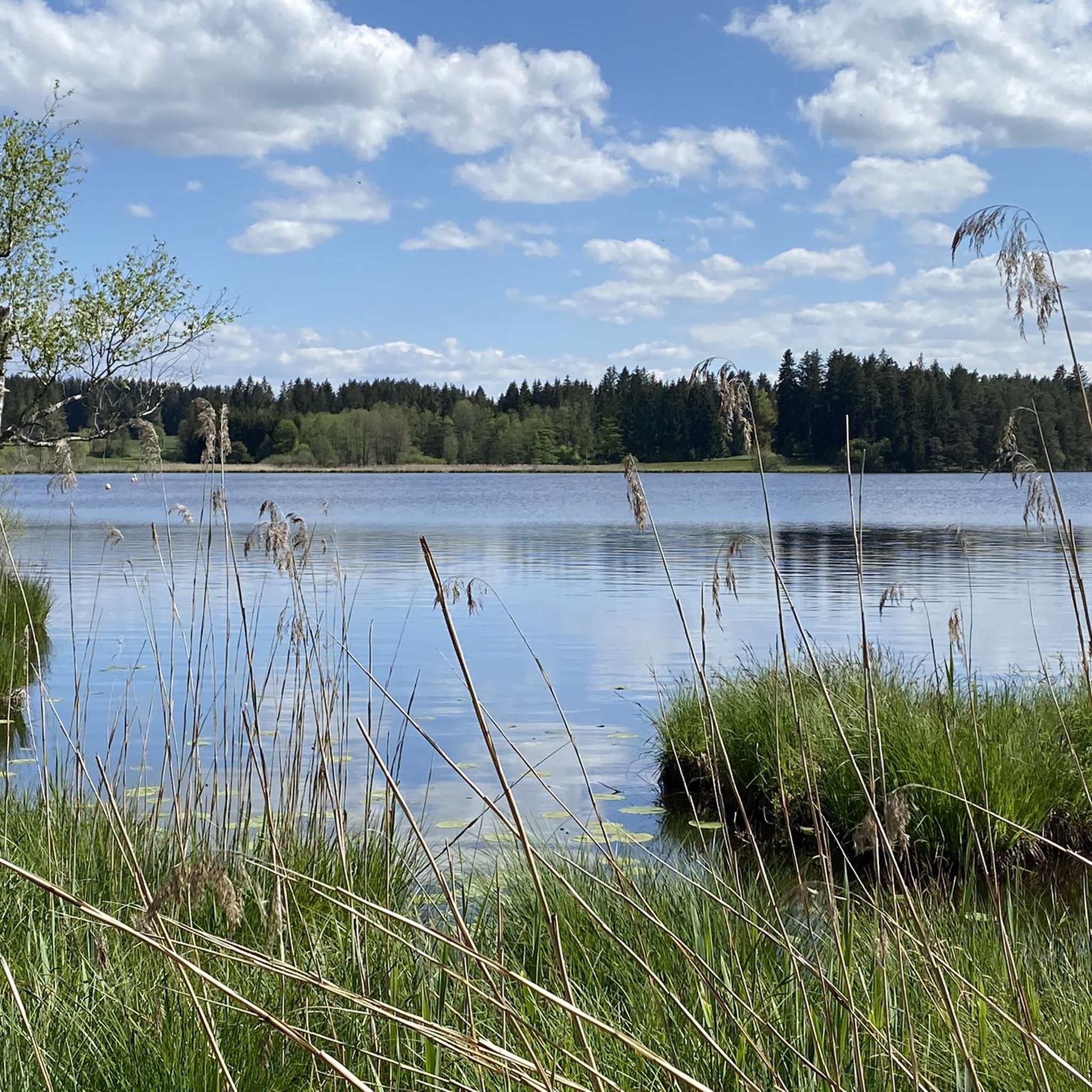
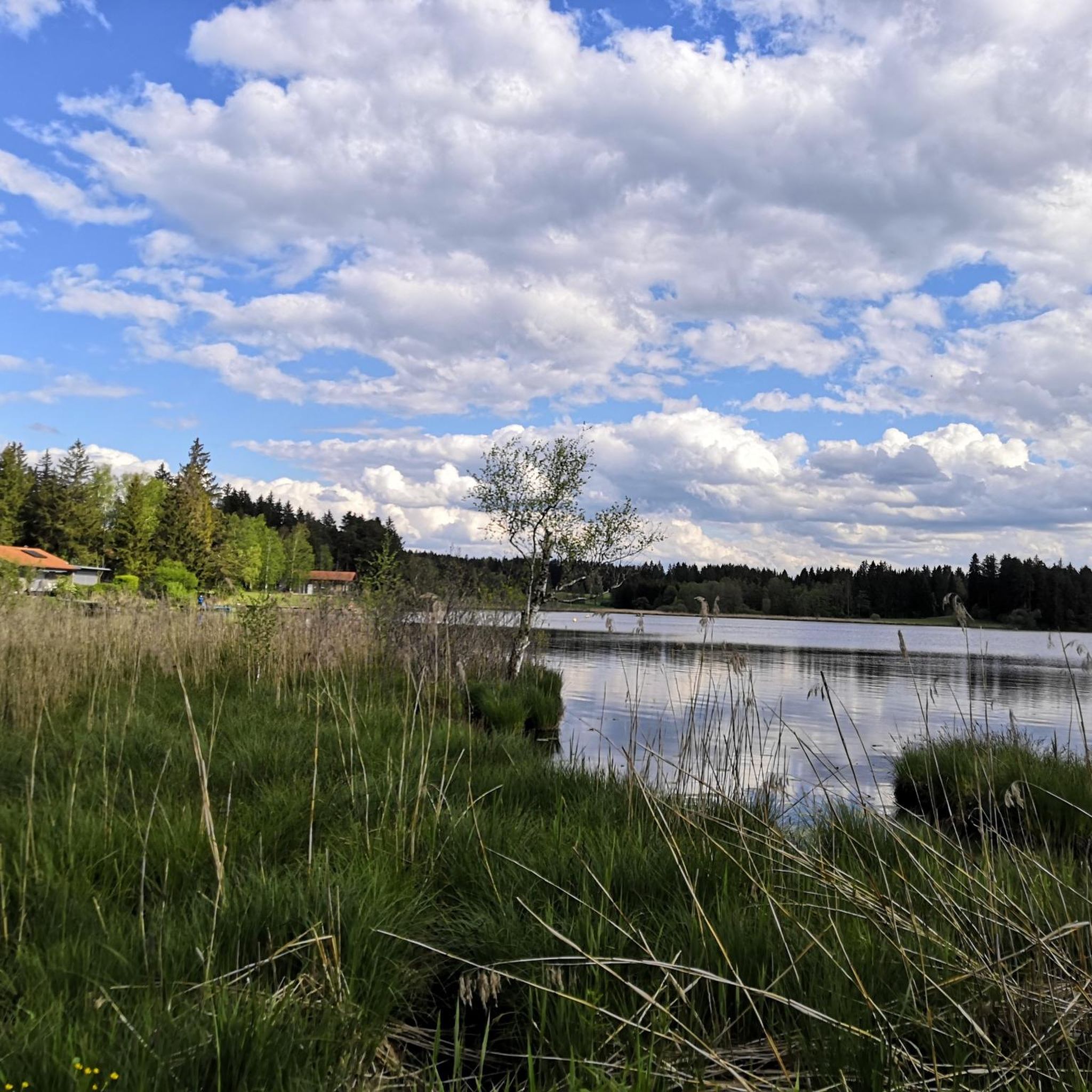
Hiking around Elbsee offers varied trails centered around a picturesque lake in Ostallgäu. The region is characterized by its natural lake environment, providing a tranquil setting for outdoor activities. Paths often follow the shoreline, offering views of the water and surrounding natural areas. The terrain generally features gentle gradients, making it accessible for various hiking abilities.
Best hiking trails around Elbsee
- The most popular hiking route is Panoramic Views Over Elbsee – Elbsee Loop loop from Landkreis Ostallgäu, a 4.5 miles (7.3 km) trail that takes 1 hour 54 minutes to complete. This easy route offers expansive views across the lake and its surroundings.
- Another top favourite among local hikers is View of the Allgäu Alps – Bergmang Alp loop from Landkreis Ostallgäu, a moderate 7.0 miles (11.3 km) path. This route provides scenic vistas of the Allgäu Alps and traverses varied terrain.
- Local hikers also love the Elbsee Lakeside Trail – Lake Elb loop from Landkreis Ostallgäu, a 1.9 miles (3.1 km) trail leading through lakeside environments, often completed in about 49 minutes.
- Hiking around Elbsee is defined by lake circuits, gentle ascents, and views of the surrounding landscape. The network offers options for different ability levels, from short, easy strolls to more moderate excursions.
- The routes in Elbsee are highly rated by the komoot community with an average score of 4.5 stars from over 3500 reviews. More than 16000 hikers have used komoot to explore Elbsee's varied terrain.
Last updated: August 6, 2026
4.7
(765)
3,304
hikers
Easy hike. Great for any fitness level. Easily-accessible paths. Suitable for all skill levels.
4.8
(28)
85
hikers
10.4km
02:52
170m
170m
Moderate hike. Good fitness required. Easily-accessible paths. Suitable for all skill levels.

Sign up for free
4.6
(8)
70
hikers
3.13km
00:49
20m
20m
Easy hike. Great for any fitness level. Easily-accessible paths. Suitable for all skill levels.
5.0
(2)
56
hikers
5.83km
01:33
60m
60m
Easy hike. Great for any fitness level. Easily-accessible paths. Suitable for all skill levels.
4.6
(7)
32
hikers
Easy hike. Great for any fitness level. Easily-accessible paths. Suitable for all skill levels.
Get access to more routes and recommendations from other explorers.
Sign up for free
Already have an account?
Our route recommendations are based on thousands of hikes, rides, and runs completed by other people on komoot.
Start today with a free account
Your next adventure awaits.
Login or Signup
Tips from the Community

Very beautiful alpine pasture with super delicious food and great view.
0
0

Parking space for a maximum of 20 cars. Could fill up quickly in summer.
0
0

We travel by motorcycle from time to time and it's a good place to stop!
0
0
A small weir at Elbsee, located in the moorland area.
0
0
Goat pasture at the Bergmang Alp https://www.bergmang-alpe.de/
0
0

This is either the beginning or the end of the hike. It's definitely impressive and beautiful to look at.
0
0
The circular route around the Elbsee is varied and offers great views of the Alps here and there.
0
0
Frequently Asked Questions
How many hiking trails are available around Elbsee?
There are over 470 hiking routes around Elbsee, catering to various preferences and skill levels. This includes more than 300 easy trails, 150 moderate options, and a few more challenging routes for experienced hikers.
What are the terrain and difficulty levels like for hiking around Elbsee?
The terrain around Elbsee generally features gentle gradients, making most trails accessible. The paths often follow the shoreline, offering tranquil walks. While many routes are easy, such as the Panoramic Views Over Elbsee – Elbsee Loop, there are also moderate options like the View of the Allgäu Alps – Bergmang Alp loop that traverse more varied landscapes.
Are there any notable landmarks or viewpoints to see while hiking around Elbsee?
Yes, a key attraction is the Elbsee Observation Tower, which offers panoramic views across the lake and its extensive nature reserve. After ascending 31 steps, you'll be rewarded with clear sightlines over the treetops, making it an excellent spot for wildlife spotting. The North Beach also provides a scenic sandy area integrated into the trails.
What do other hikers enjoy most about the trails in Elbsee?
The trails around Elbsee are highly rated by the komoot community, with an average score of 4.5 stars from over 3500 reviews. Hikers frequently praise the tranquil lake environment, the picturesque blend of reed beds, meadows, and forests, and the well-maintained paths that offer diverse visual impressions throughout the seasons.
Are there family-friendly hiking options around Elbsee?
Absolutely. Elbsee offers many easy trails suitable for family outings. The well-maintained and easily accessible paths, combined with gentle gradients, make it ideal for short hikes with children. The circular path around the lake, approximately 7 km long, is a popular choice for families to immerse themselves in nature.
Can I bring my dog on the hiking trails at Elbsee?
Yes, Elbsee is generally dog-friendly, and many trails are suitable for walks with your canine companion. The diverse landscape and circular paths provide ample opportunity for dogs to enjoy the outdoors. Please ensure your dog is kept on a leash, especially in nature reserve areas, to protect local wildlife.
Are there circular walks available around Elbsee?
Yes, circular walks are a defining feature of hiking around Elbsee. The most prominent is the approximately 7 km circular path around the lake itself, which allows hikers to experience the varied natural settings and scenic views. Many routes, such as the Lake Elb – Elbsee Loop, are designed as loops, offering convenient starting and ending points.
What is the best time of year to hike around Elbsee?
Elbsee is a worthwhile destination year-round, as the diverse landscape ensures different visual impressions throughout the seasons. Spring brings fresh greenery, summer offers pleasant lakeside strolls, autumn showcases vibrant colors, and winter provides a serene, quiet atmosphere. The observation tower is particularly popular in quieter months for wildlife spotting.
Are there any shorter, easy walks for beginners or quick outings?
Yes, Elbsee has numerous short and easy trails perfect for beginners or those looking for a quick stroll. An example is the Elbsee Lakeside Trail – Lake Elb loop, which is about 3.1 km long and can be completed in under an hour, leading through pleasant lakeside environments.
What kind of natural features can I expect to see in the Elbsee region?
The Elbsee region is a significant nature reserve characterized by a rich tapestry of landscapes. You'll encounter picturesque reed beds, expansive meadows, and dense forests. The lake itself is a nutrient-poor, still body of water vital for various bird species, including rare sand martins and little ringed plovers. The northern shore, with its shallow waters and extensive reed beds, is particularly important ornithologically.
What is the longest moderate trail available in the area?
One of the longer moderate trails is the View of the Allgäu Alps – Bergmang Alp loop from Landkreis Ostallgäu. This route spans approximately 11.3 km and offers scenic vistas of the Allgäu Alps while traversing varied terrain, typically taking around 3 hours and 4 minutes to complete.
Most popular routes around Elbsee

Get inspired with the komoot mobile app


Explore more
Browse the best Hikes in other regions.
