Großer Bischofsweiher
Großer Bischofsweiher
The best running trails around Großer Bischofsweiher
4.5
(1537)
25,755
runners
1,106
runs
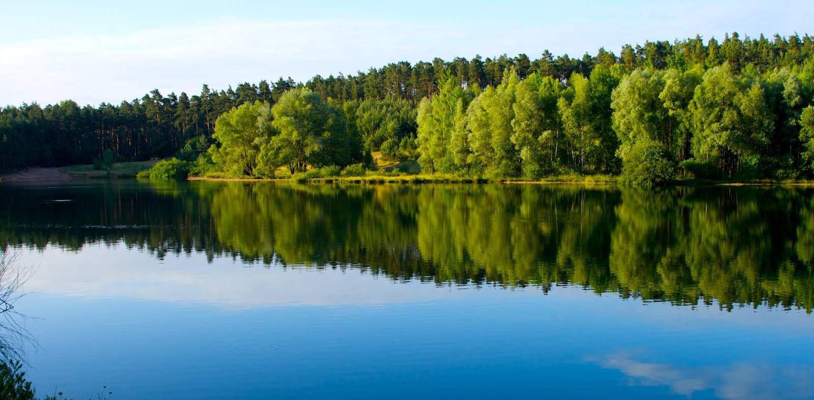
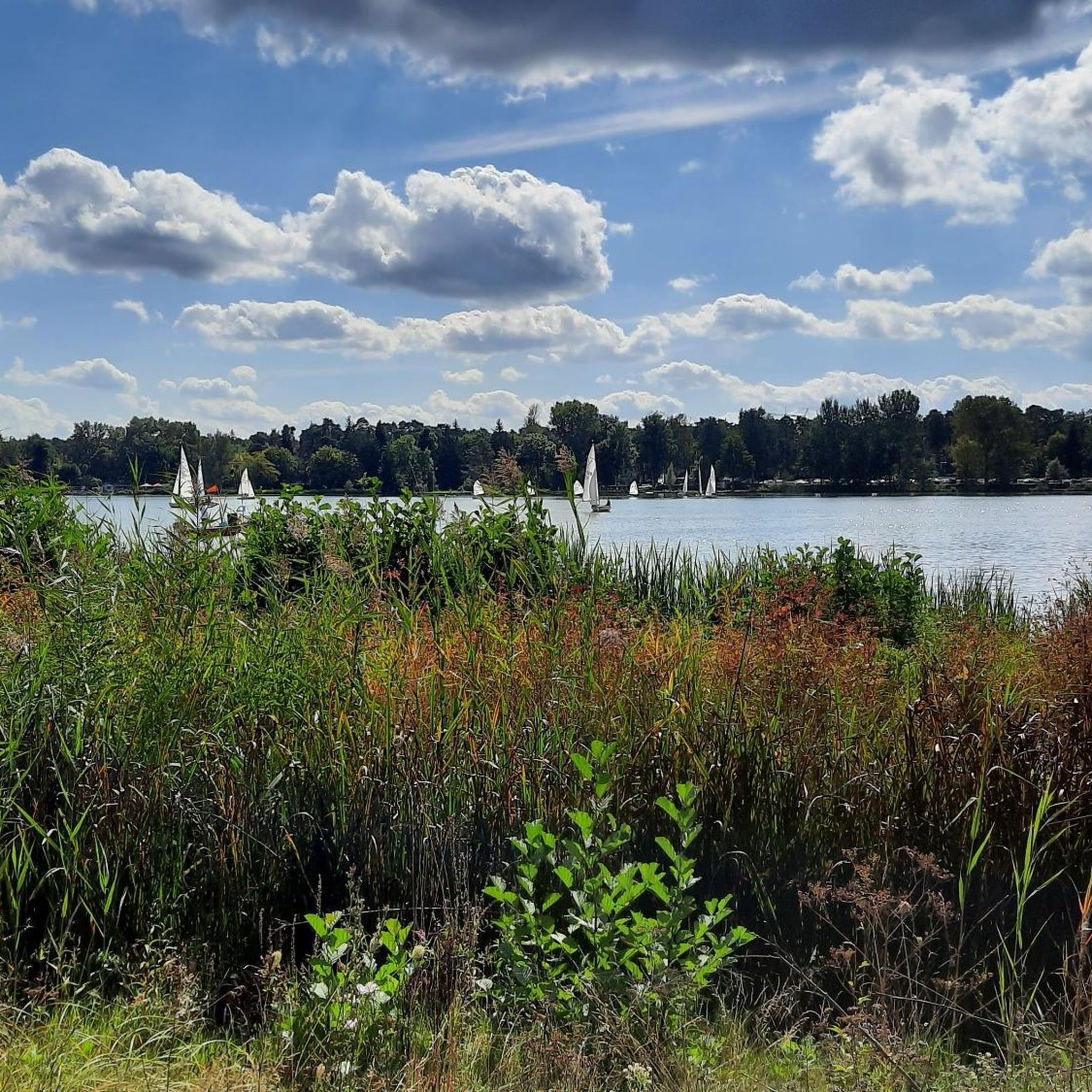
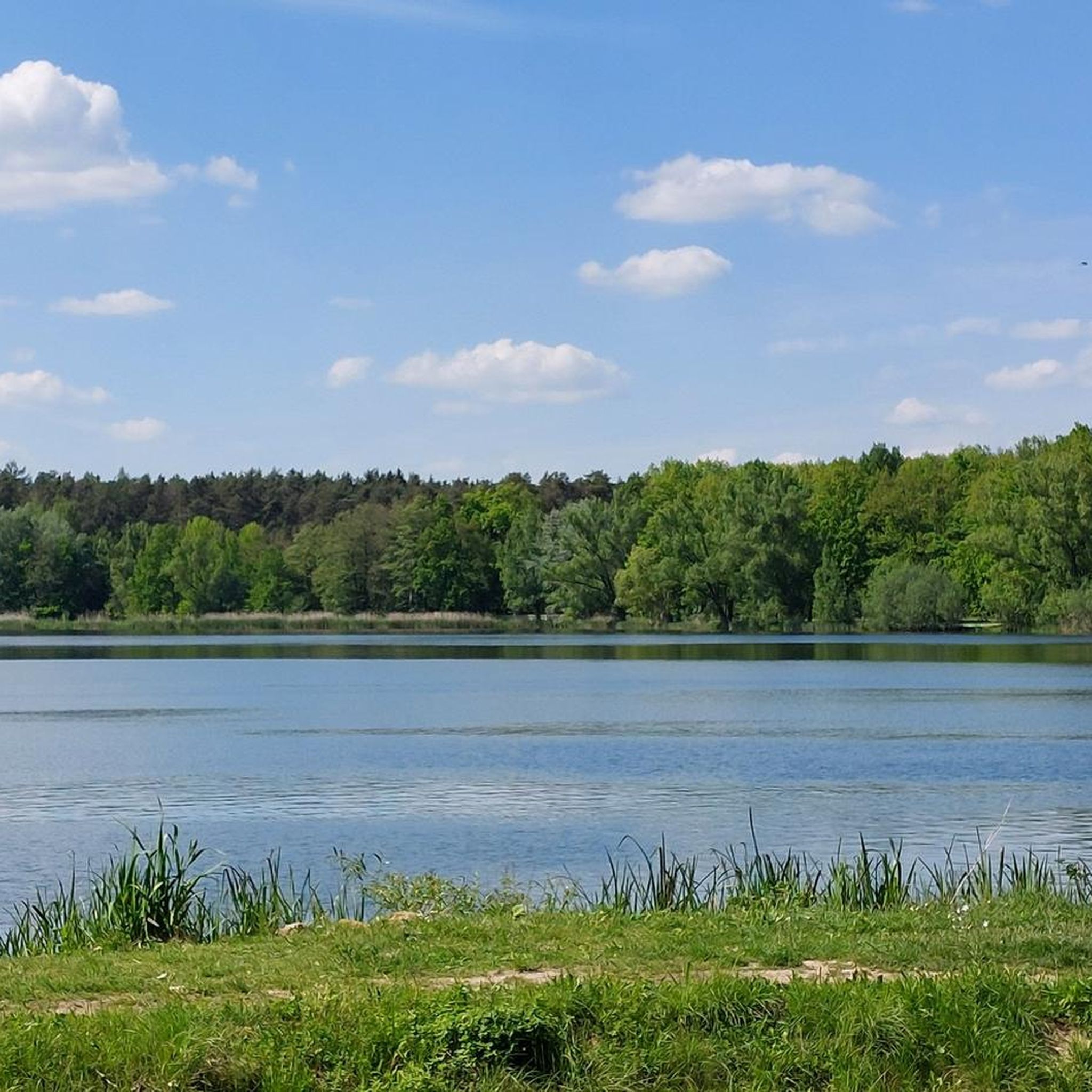
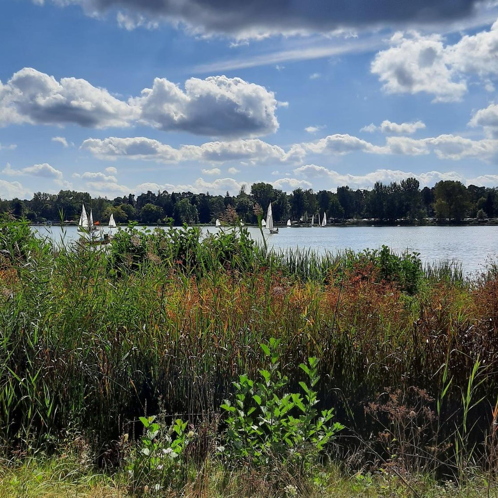
Jogging around Großer Bischofsweiher offers access to a well-developed network of paths in the northern part of Erlangen, Bavaria. The area is characterized by the large lake, Großer Bischofsweiher, which is part of a chain of historic carp ponds. Surrounding the lake are designated landscape protection areas and adjacent forest areas, providing diverse natural settings for running. A circular path of approximately 2.5 miles (4 km) follows the lakeshore, offering continuous views of the water.
Best jogging routes around Großer…
Last updated: July 10, 2026
4.8
(10)
55
runners
Moderate run. Good fitness required. Mostly paved surfaces. Suitable for all skill levels.
25
runners
12.8km
01:19
60m
60m
Moderate run. Good fitness required. Mostly paved surfaces. Suitable for all skill levels.

Sign up for free
5.0
(2)
23
runners
8.44km
00:53
60m
60m
Moderate run. Good fitness required. Mostly paved surfaces. Suitable for all skill levels.
4.3
(3)
13
runners
Easy run. Great for any fitness level. Mostly paved surfaces. Suitable for all skill levels.
4.3
(3)
17
runners
7.00km
00:44
40m
40m
Moderate run. Good fitness required. Mostly paved surfaces. Suitable for all skill levels.
Get access to more routes and recommendations from other explorers.
Sign up for free
Already have an account?
Our route recommendations are based on thousands of hikes, rides, and runs completed by other people on komoot.
Start today with a free account
Your next adventure awaits.
Login or Signup

Other adventures around Großer Bischofsweiher

Tips from the Community

You can wonderfully walk around the Dechsendorfer Weiher. On the north bank there is a great kiosk, which is also open from Easter until late autumn. On the other side at the swimming area there is also a small kiosk that is open during the summer months. In addition, there are numerous inns / beer gardens nearby. Everything is perfect for a day trip with a stop for refreshments.
0
0

From the "Forsthaus" inn, you have a beautiful view over the Great Bishop's Pond (Dechsendorfer Weiher), and in good weather, you can even enjoy a beautiful sunset over the pond. In summer, the "Forsthaus" hosts wonderful events on Thursdays with live music and, for example, "barbecue, all you can eat," etc.
1
0

Easily accessible from the path via a wooden walkway with railing. The pavilion offers an elevated view of the large Bishop's Pond.
1
0
The Dechsendorfer Weiher (Großer Bischofsweiher) and the almost equally large Kleiner Bischofsweiher were created in the Middle Ages by the Bamberg bishops as carp ponds. Due to the large water surfaces and the immediate surroundings, both ponds are of great importance for species and biotope protection, especially for water birds. The Dechsendorfer Weiher are a popular destination for those seeking local recreation due to their proximity and closeness to nature. The pond is used as a bathing pond; however, use was restricted by the algae problem. The bathing ban is also announced locally and by clearly visible signs or signs at the bathing area. The fields to the west of the ponds are in the Sandachse Franken nature conservation project and the forest areas of the Markwald directly adjacent to the east are protected forest. The entire area is a landscape conservation area. The Dechsendorfer Weiher was previously flowed through by the Röttenbach. This has now been created as a new Röttenbach over a length of 1.6 km from the intermediate dam inlet area to the downstream area of the Dechsendorfer Weiher. A near-natural watercourse is intended to improve the previously moderate water structure and create new habitats for the ecological diversity of nature. The lack of passability of the Röttenbach was restored. In the new Röttenbach, nutrients, sediments and also fish from the catchment area of the Dechsendorfer Weiher can be diverted around it into the downstream area of the pond. The pond is no longer in the main tributary but in the bypass and can therefore be managed in terms of the quality and quantity of the incoming water. With the targeted planting of aquatic plants, the pond was returned to a plant-dominated state. [ Source: https://erlangen.de/aktuelles/gewaesserschutz-dechsendorfer-weiher ]
0
0
That means, in summer, a lot of grey geese that poop all over the meadow (actually a lawn with a bathing area)
2
0
In spring, when all the birds have hatched, it must be teeming with small waterfowl
0
0
Always great signage about the animals living there
0
1
Very beautiful lake with lawns, barbecue areas, 2 kiosks, very good pizzeria, enough parking spaces in the direction of Möhrendorf. Unfortunately, there are a lot of ducks, geese and other water birds that "poop" all over the lawns in the evenings/nights.
0
0
Frequently Asked Questions
How many running routes are available around Großer Bischofsweiher?
There are over 1000 running routes available in the Großer Bischofsweiher area, catering to various preferences and fitness levels. These include easy, moderate, and some more challenging trails.
Are there any easy or beginner-friendly running routes around Großer Bischofsweiher?
Yes, Großer Bischofsweiher offers several easy running options. A key feature is the well-developed, approximately 4-kilometer (2.5 miles) circular path that encircles the lake, which is suitable for leisurely runs. For a specific easy route, consider the Embankment at Dechsendorfer Weiher – Dechsendorfer Weiher loop from Dechsendorf, which is 4.5 kilometers long.
What kind of natural landscapes can I expect to see while jogging here?
The area around Großer Bischofsweiher is rich in natural beauty. You'll run alongside the lake itself, which is part of a chain of historic carp ponds. The surrounding areas, particularly to the south and west, are designated as a landscape protection area, and adjacent forest areas to the east are also protected. The northern shores are part of the Aischgrund European bird sanctuary, offering opportunities to spot diverse waterfowl.
Are there any specific viewpoints or attractions along the running trails?
While running, you'll enjoy continuous scenic views of the water along the lake's circular path. The area is also part of the Aischgrund European bird sanctuary, especially around the northern shores of Großer Bischofsweiher and Kleiner Bischofsweiher. There are even specific viewing opportunities with 'peep walls' in the reeds for observing birds. You can also explore highlights like the Great Bishop's Pond itself or the Great Bishop's Pond North Shore.
Is Großer Bischofsweiher suitable for family runs or runs with strollers?
Yes, the main circular path around Großer Bischofsweiher is largely paved and accessible for strollers, making it an inclusive route for families. Additionally, a small playground and a fitness parcour installed in 2020 offer activities for both adults and children, making it a great destination for a family outing that includes some running.
Can I bring my dog on the running routes around Großer Bischofsweiher?
The region is generally welcoming to dogs, with many outdoor spaces to explore. While specific dog-friendly routes are not explicitly listed, the extensive network of paths, including the circular lake path and trails through forest and landscape protection areas, provides ample space for you and your dog to enjoy a run. Always ensure your dog is leashed and follow local regulations, especially in protected areas.
What is the best time of year to go running at Großer Bischofsweiher?
Großer Bischofsweiher offers a versatile recreational experience throughout the year. Spring and early summer are particularly pleasant for birdwatching, as great reed warblers and reed warblers can be heard. In warmer months, the lake is popular for swimming and water sports, adding to the vibrant atmosphere. Even in winter, when the water level is lowered, the lake transforms into a venue for ice skating and Bavarian curling, offering a unique backdrop for cold-weather runs.
Are there any circular running routes available?
Yes, circular routes are a defining feature of running around Großer Bischofsweiher. The most prominent is the approximately 4-kilometer (2.5 miles) circular path directly around the lake. Other popular loop options include the Himmelsweiher Dam – Gerti's Kiosk loop from Dechsendorf (7.6 km) and the Dechsendorfer Weiher – Lower Rothweiher loop from Dechsendorf (8.4 km).
Where can I find parking for the running trails?
The Großer Bischofsweiher area is well-equipped for visitors. Parking facilities are available, making it convenient to access the running routes. Specific parking areas are typically located near the main recreational facilities and access points around the lake.
Are there any places to eat or drink near the running routes?
Yes, you'll find several options for refreshments. Kiosks are available, providing convenient access to food and drinks. There are also several beer gardens around the pond, and the 'Forsthaus Dechsendorf' restaurant and beer garden is located directly on the lake, perfect for a post-run meal or drink.
What do other runners enjoy most about jogging in Großer Bischofsweiher?
The running routes around Großer Bischofsweiher are highly rated by the komoot community, with an average score of 4.5 stars from over 1300 reviews. Runners often praise the well-maintained circular paths, the continuous lake views, and the diverse routes that lead through landscape protection areas and forests. The variety of options for different ability levels is also frequently highlighted.
How accessible is Großer Bischofsweiher by public transport?
Großer Bischofsweiher is nestled in the northern part of Erlangen's Dechsendorf district, making it generally accessible. While specific public transport links are not detailed here, its location within a district of Erlangen suggests that local bus services would likely connect to the area, providing options for reaching the running trails without a car.
Are there longer running routes for more experienced runners?
Absolutely. While the 4 km circular path is great for shorter runs, there are longer, moderate routes available. For instance, the Great Bishop's Pond – Dechsendorfer Weiher loop from Dechsendorf is 10.9 kilometers (6.7 miles) long, and the Bridge at the Forebay – Dechsendorfer Weiher loop from Dechsendorf extends to 11.3 kilometers (7 miles), offering more challenging distances.
Most popular routes around Großer Bischofsweiher
Most popular attractions around Großer Bischofsweiher

Get inspired with the komoot mobile app


Explore more
Browse the best Running Trails & Routes in other regions.
