The best road cycling routes around Craimoosweiher
4.7
(115)
1,496
riders
92
rides
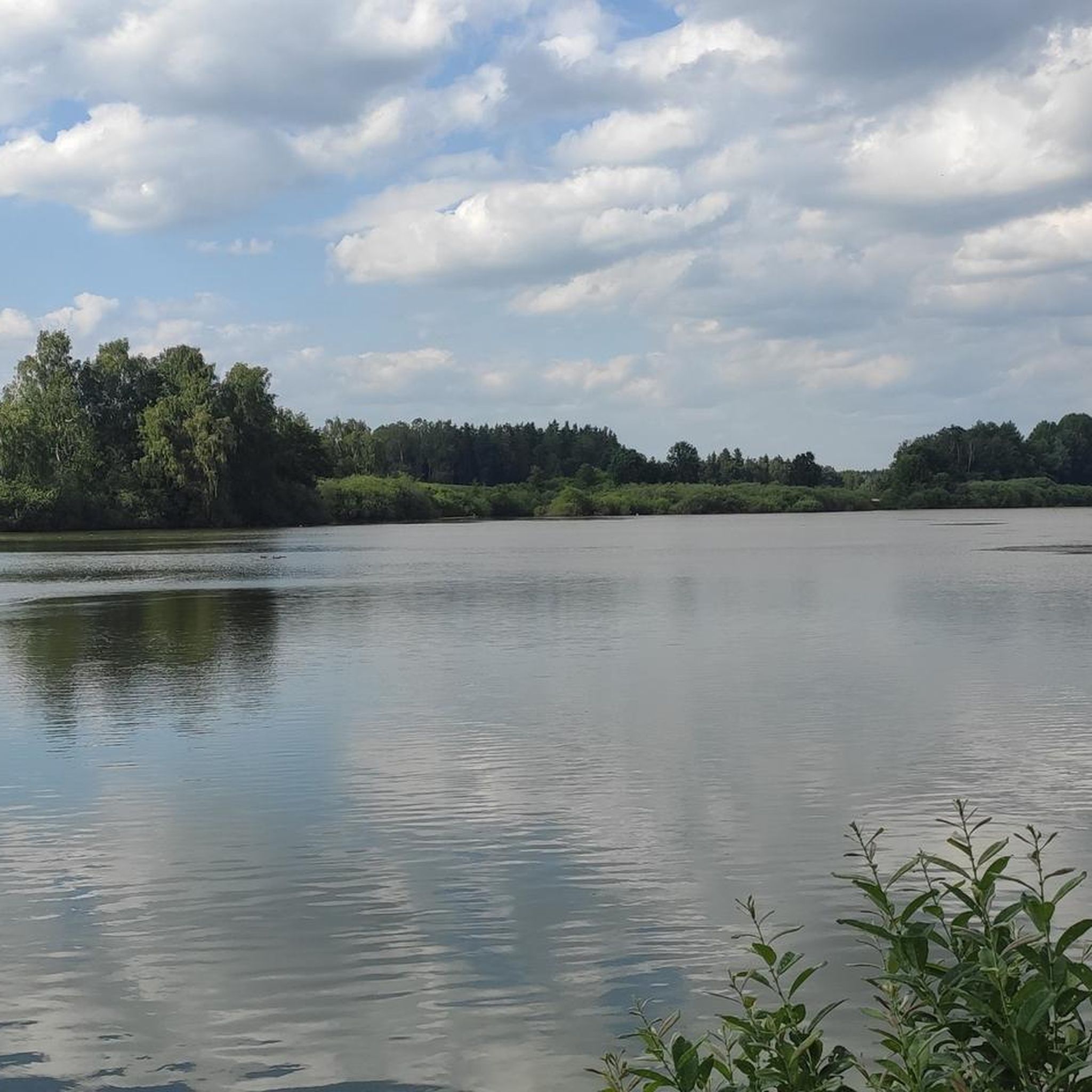
Road cycling around Craimoosweiher offers diverse landscapes, from serene river valleys to extensive forests and rolling hills. The region, centered around the 15-hectare Craimoosweiher lake, features well-developed infrastructure for cyclists. Terrain varies from gentle paths along rivers like the Main, Regnitz, and Pegnitz to more demanding, hillier sections through areas such as the Veldensteiner Forst. This area provides a mix of open meadows and shady woods, suitable for various road cycling preferences.
Best road cycling routes around Craimoosweiher
- The most…
Last updated: September 30, 2026
5.0
(2)
26
riders
52.0km
02:25
570m
570m
Moderate road ride. Good fitness required. Mostly well-paved surfaces and easy to ride.
11
riders
70.5km
03:13
760m
760m
Moderate road ride. Good fitness required. Mostly well-paved surfaces and easy to ride.

4
riders
59.2km
02:49
700m
700m
Moderate road ride. Good fitness required. Mostly well-paved surfaces and easy to ride.
7
riders
46.1km
01:59
390m
390m
Moderate road ride. Good fitness required. Mostly well-paved surfaces and easy to ride.
5.0
(3)
22
riders
44.6km
02:35
430m
430m
Moderate road ride. Good fitness required. Some segments of this route may be unpaved and difficult to ride.
Get access to more routes and recommendations from other explorers.
Already have an account?
Our route recommendations are based on thousands of hikes, rides, and runs completed by other people on komoot.
Start today with a free account
Your next adventure awaits.
Tips from the Community

Klosterkirche „Zur unbefleckten Empfängnis“ Im späten 12. Jahrhundert wurden die Grundmauern für eine dreischiffige romanische Basilika gelegt, Teile dieser Grundmauern, nämlich die der Chorapsiden, konnten bei Grabungen im Klostergarten gefunden werden. Am Mauerwerk sind Spolien der romanischen Basilika zu erkennen. Als die alte romanische Klosterkirche 1691 abgebrochen war, begann der Neubau nach den Plänen von Wolfgang und Georg Dientzenhofer, der Rohbau wurde 1696 vollendet. Bei der Prämonstratenser-Klosterkirche zur Unbefleckten Empfängnis Mariä handelt es sich um eine Emporen-Wandpfeilerhalle mit eingezogenem Chor. Sowohl Kapellen wie Emporen sind mit Quertonnen gewölbt. Den Saalraum deckt eine abgeflachte Stichkappentonne. An den Stirnen der Wandpfeiler stehen Doppelpilaster. Diese tragen ein kräftiges Gebälk. Typisch für die Klosterkirche ist, daß die Kapellen deutlich höher sind als die darüber liegenden Emporen. Die Oberkante der Emporenbrüstung liegt oberhalb der Oberkante der Gebälkzone. Ein aus Doppelpilastern und einem gedrückten Bogen gebildeter Triumphbogen leitet als Würdeformel vom Saalraum zum Chor. Charakteristisch sind insbesondere die gedrückten, wuchtigen Raumproportionen. Für die Gestaltung und Ausstattung des Innenraums beauftragte Abt Gottfried Blum die italienischen Brüder Carlo Domenico (Stuckateur) und Bartolomeo (Maler) Lucchese. Sie gaben dem Raum mit der schweren barocken Ausgestaltung eine italienische Prägung. Die durch Pilaster und stark hervortretende Gesimse gegliederten Wände gehen scheinbar fließend in die mit schweren Frucht- und Blütengirlanden dekorierte Decke über. Kunstvoll umrahmt heben sich im Langhaus drei großformatige Deckenfresken hervor, die von kleinen, ebenfalls freskierten Medaillons umgeben sind. Im Chorraum ist die Deckendekoration noch dichter und enger zusammengefügt. Carlo Domenico Lucchese fertigte auch den Hochaltar aus Stuck, dieser wurde erst 1714 farbig gefaßt. Das Bild der Immaculata im Hochaltar stammt vermutlich von Antonio Triva, also ebenfalls von einem italienischen Künstler. Nach der Weihe des neuen Gotteshauses 1706 nahm der Innenraum erst nach einigen Jahren seine heutige Gestalt an. In der repräsentativen Vorhalle des eigentlichen Kirchenraums ist das Gründungsereignis des Klosters an der Decke in Szene gesetzt. Flankiert wird die Vorhalle links von der Nepomuk-Kapelle und rechts von der Tauf- oder Silvesterkapelle. Quelle: Auszüge aus www.wikipedia.de
2
0
Kloster Speinshart In the year 1145, the childless couple Adelvolk and Richenza von Reifenberg founded Speinshart Monastery. A confirmation document for the monastery was issued by Emperor Frederick Barbarossa in 1163. The first Premonstratensians came to Speinshart from the Premonstratensian monastery of Wilten near Innsbruck in Tyrol. In a protection letter from Pope Alexander II in 1181, the Premonstratensians in Speinshart were officially mentioned for the first time. Twice the monastery was severely damaged: in 1310, a royal army heavily damaged it, and in 1429, the Hussites plundered the monastery. The monastery experienced its first flourishing period in the 15th century under Provost Georg Ochs von Gunzendorf. At that time, Pope Pius II elevated the monastery to an abbey. For a time, Speinshart was the mother abbey for the Tepl Monastery in Bohemia. The Reformation period marked the first turning point in its history. Under Elector Ottheinrich, the Catholic doctrine was replaced by the new Lutheran doctrine throughout the Upper Palatinate in 1556; all Catholic rites and practices were forbidden. With the transfer of the Upper Palatinate to the Calvinist Elector Frederick III, the Speinshart Abbey collapsed, was eventually secularized, and became state property. In 1661, during the reign of Elector Ferdinand Maria of Bavaria, Premonstratensians returned to Speinshart from Steingaden Monastery. In the following decades, the new convent strove for the structural renewal of the collegiate church and the aging convent tract. In 1691, the monastery regained the status of an abbey. Around 1684, the canons of Speinshart responded to the general Baroque popular piety by reviving the medieval pilgrimage to Barbaraberg. In Speinshart, the veneration of the Flagellated Savior also began in the 18th century, as in the Wieskirche near Steingaden. Through secularization in 1803, the monastery and its possessions fell to secular power for the second time. In the following period, the monastery housed, among other things, the rectory, a school, and the forestry office. On September 30, 1921, the Premonstratensian Order bought the monastery complex back from the Bavarian state. On October 2, 1921, Premonstratensians from the Tepl Abbey in Egerland moved in. In 1923, the Apostolic See confirmed the monastery again as an abbey with all rights. Excerpts from www.wikipedia.de
2
0

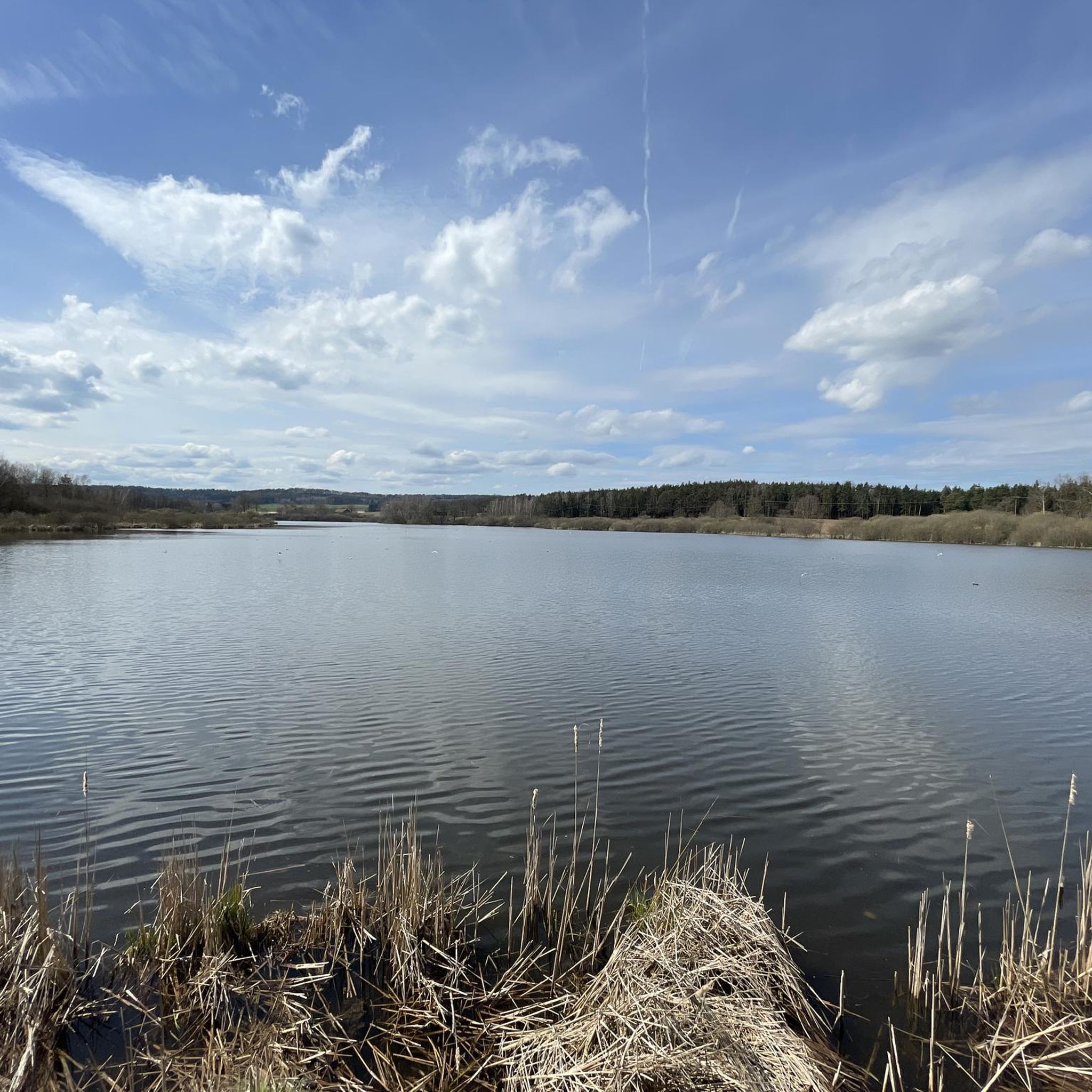
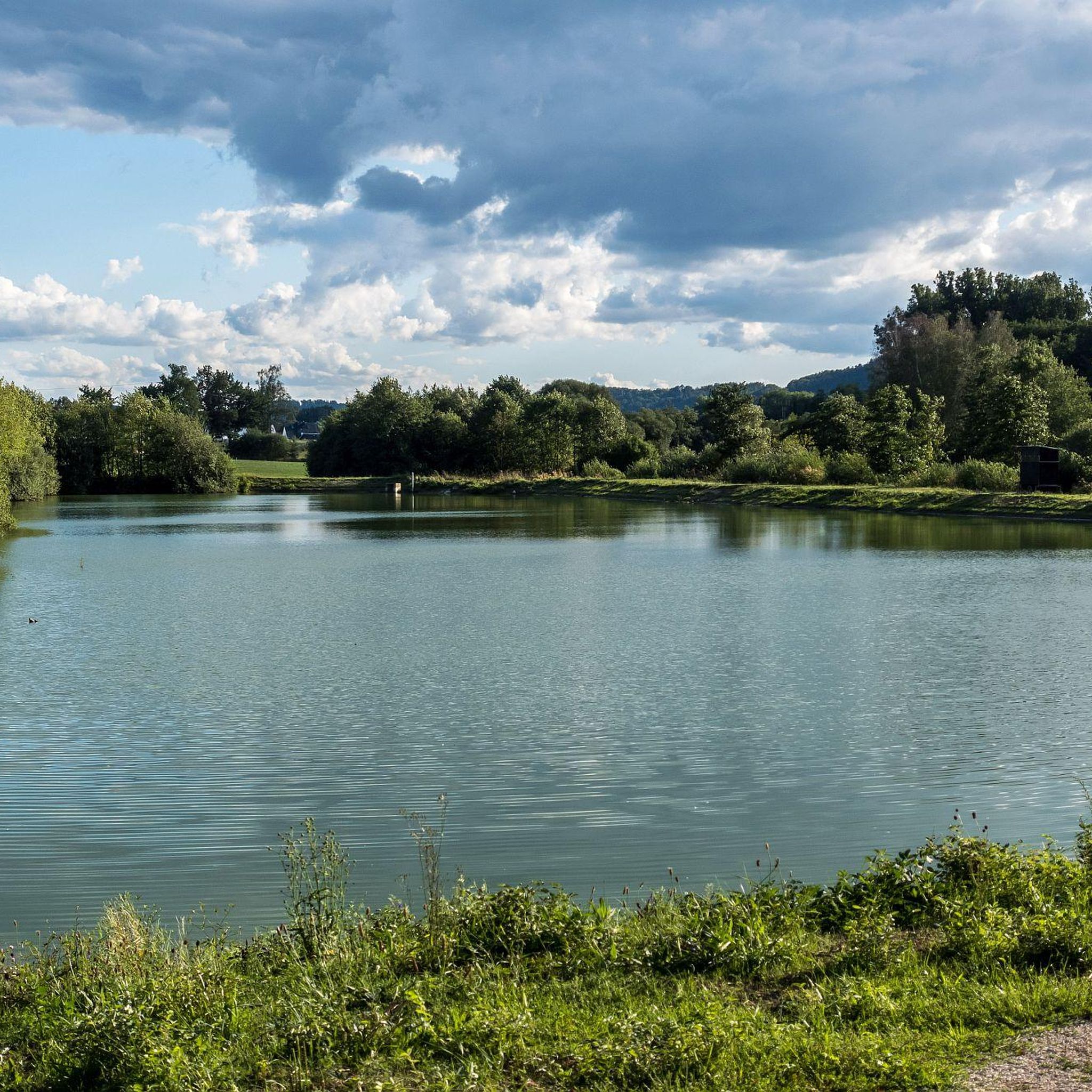
very rewarding recreational area for Bayreuth and surroundings
0
0

Is said to have originated during the Thirty Years' War!
0
0

Kloster Speinshart, good monastery beer, delicious schnitzel and a charging station for e-bikes.
0
0

Beach resort at the small Rußweiher pond in ESB
0
0

A must-see! And then head to the Klosterschänke beer garden.
1
0

Frequently Asked Questions
What types of road cycling routes can I find around Craimoosweiher?
The Craimoosweiher region offers a diverse network of road cycling routes. You'll find everything from gentle paths along rivers like the Main, Regnitz, and Pegnitz, to more challenging, hillier sections through extensive forests such as the Veldensteiner Forst. The terrain includes open meadows, shady woods, and varied landscapes suitable for different preferences.
How many road cycling routes are available in the Craimoosweiher area?
There are over 90 road cycling routes available around Craimoosweiher. This includes a mix of easy, moderate, and difficult trails, ensuring options for various skill levels.
Are there any easy or family-friendly road cycling routes near Craimoosweiher?
Yes, the region offers several easy routes, with 3 specifically categorized as such. A particularly family-friendly option mentioned in the region research is the cycling path built parallel to the federal highway between Pegnitz and Bayreuth, which features an unusually flat profile for the area.
What are some of the more challenging road cycling routes in the region?
For those seeking a challenge, there are 22 difficult routes around Craimoosweiher. The region research highlights routes like the "View of Pottenstein – Pottenstein Old Town loop," a 34.5-mile path with significant elevation changes, and the "Path Along the Pegnitz River – Grenz-Zoigl Ranna loop," an 83.9-mile trail requiring good fitness due to potential unpaved segments and considerable elevation gains.
What natural features and landmarks can I expect to see while cycling around Craimoosweiher?
Cyclists can enjoy a variety of natural features, including the Craimoosweiher lake itself, which is a nature reserve known for its rich flora and fauna. You might spot rare water birds from observation towers. The routes also traverse picturesque river valleys, expansive meadows, and extensive forests like the Veldensteiner Forst. The region is part of the Naturpark Fränkische Schweiz – Frankenjura, offering varied and scenic terrain.
Where can I find parking for road cycling routes around Craimoosweiher?
While specific parking lots aren't detailed in the guide data, towns like Schnabelwaid, located about 3.5 kilometers from Craimoosweiher, serve as ideal starting points for outdoor activities and likely offer parking facilities for visitors. Creußen is another nearby town that could serve as a starting point.
Are there any cafes, pubs, or accommodation options near the cycling routes?
Yes, the Franconian region is known for its hospitality. Towns like Schnabelwaid and Creußen, close to Craimoosweiher, offer traditional guesthouses for overnight stays or refreshments. You can also find cozy beer gardens, traditional wine taverns, and excellent restaurants in the broader area for culinary enjoyment after your ride.
What do other road cyclists say about the routes around Craimoosweiher?
The road cycling routes around Craimoosweiher are highly rated by the komoot community, with an average score of 4.7 stars from over 88 reviews. More than 1300 road cyclists have used komoot to explore the varied terrain, often praising the picturesque river valleys, extensive forests, and gentle rolling hills.
What is the best time of year to go road cycling in the Craimoosweiher region?
The region offers beautiful cycling opportunities across multiple seasons. While specific seasonal highlights aren't detailed, spring and autumn generally provide pleasant temperatures and vibrant scenery. The diverse landscapes, from river paths to forests, make it enjoyable for much of the year, though winter conditions might require specific gear or route choices.
Can I reach the Craimoosweiher cycling routes using public transport?
The region research mentions the convenience of reaching towns like Schnabelwaid and Creußen. While direct public transport links to specific trailheads with bike carriage aren't detailed, these towns often serve as hubs and may offer public transport options that could facilitate access to the cycling network.
Are there any specific road cycling routes that offer views of rock formations?
Yes, the route Grenz-Zoigl Ranna – Weissenstein Rock Formation loop from Schnabelwaid is a popular choice that leads through picturesque river valleys and offers views of natural rock formations.
What is the longest road cycling route mentioned in the guide?
The longest route highlighted in the region research is the "Path Along the Pegnitz River – Grenz-Zoigl Ranna loop," which is an 83.9-mile (135.1 km) trail. This route often takes over nine hours to complete and requires good to very good fitness.
Are there any historical sites or cultural attractions accessible by road bike?
Yes, the region offers cultural points of interest. Schnabelwaid features a privately owned moated castle and the Evangelical Church of St. Mary Magdalene. The nearby town of Creußen boasts a medieval core and an interesting pottery museum, all comfortably explorable from the saddle.
Most popular routes around Craimoosweiher

Get inspired with the komoot mobile app


Explore more
Browse the best Road cycling routes in other regions.
