The best road cycling routes around Oberrieder Weiher
4.5
(163)
2,597
riders
261
rides
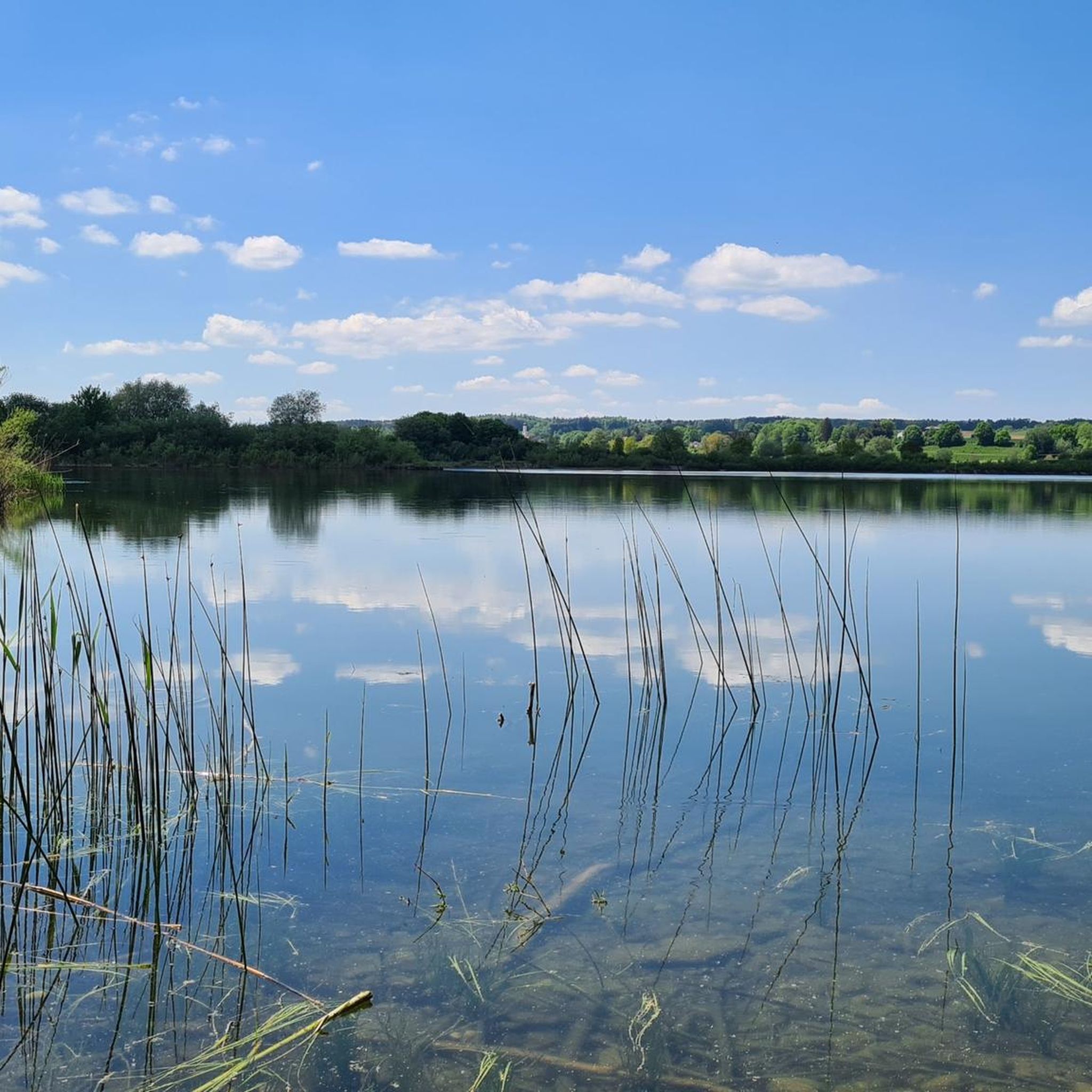
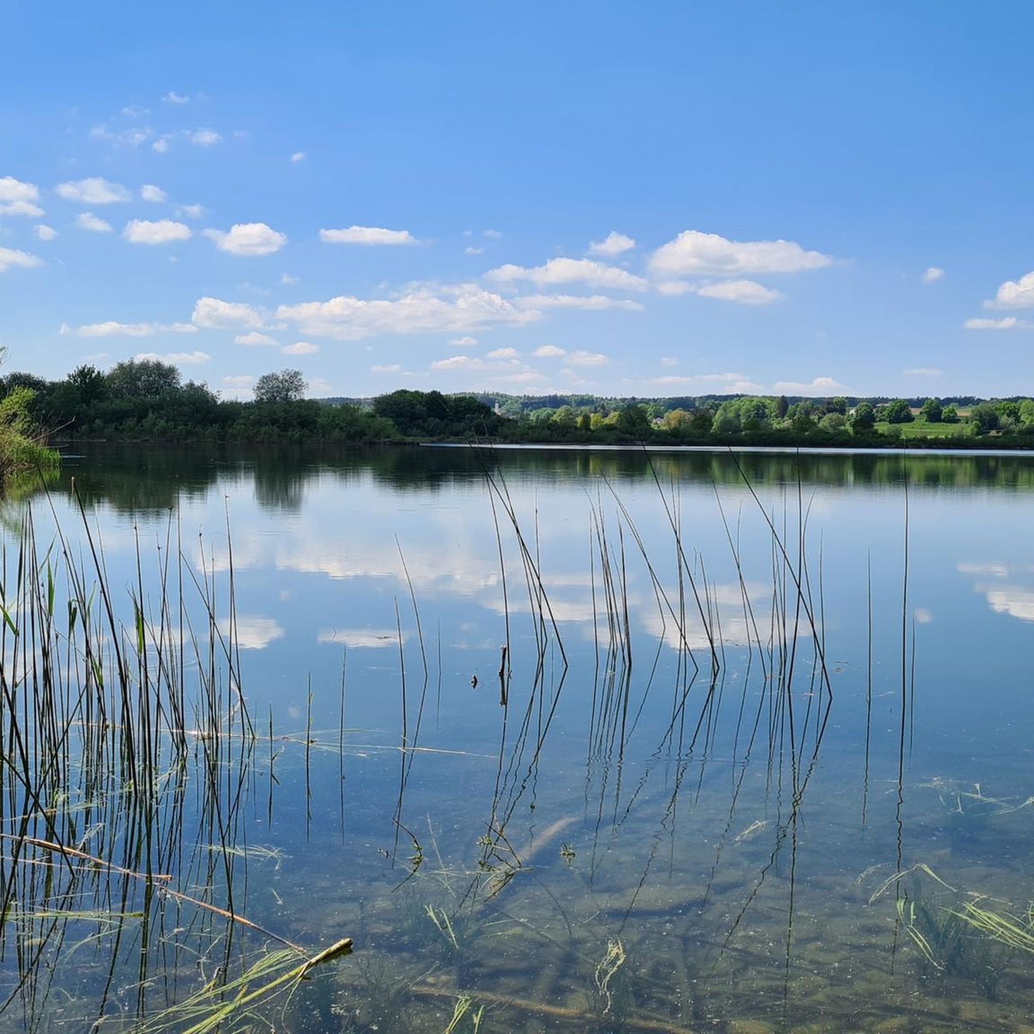
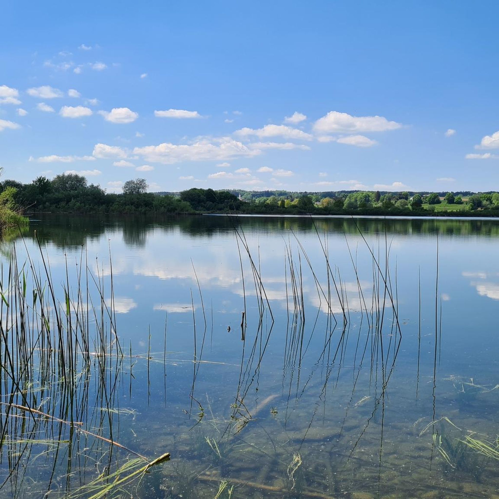
Road cycling around Oberrieder Weiher features routes that navigate the flat to gently undulating terrain surrounding the lake. The region is characterized by its waterside paths, rural roads, and connections to nearby towns and villages. Road cyclists can expect a landscape that combines open fields with sections alongside rivers and through local communities. The area provides a network of routes suitable for various road cycling preferences.
Best road cycling routes around Oberrieder Weiher
- The most popular road cycling route is…
Last updated: October 7, 2026
4.9
(7)
75
riders
Moderate road ride. Good fitness required. Mostly well-paved surfaces and easy to ride.
5.0
(2)
39
riders
85.7km
04:03
900m
900m
Moderate road ride. Good fitness required. Some segments of this route may be unpaved and difficult to ride.

4.6
(7)
59
riders
Moderate road ride. Good fitness required. Mostly well-paved surfaces and easy to ride.
4.8
(6)
62
riders
Moderate road ride. Good fitness required. Mostly well-paved surfaces and easy to ride.
4.9
(8)
84
riders
Moderate road ride. Good fitness required. Mostly well-paved surfaces and easy to ride.
Get access to more routes and recommendations from other explorers.
Already have an account?
Our route recommendations are based on thousands of hikes, rides, and runs completed by other people on komoot.
Start today with a free account
Your next adventure awaits.

Tips from the Community


The Herrgottsruhkapelle in Mindelheim am Katharinenberg was built in 1718 by Johann Hörmele. Previously, there was a wayside shrine with a Herrgottsruh figure at this spot. The chapel has already been renovated several times, in 1850 and between 1954 and 1957. Inside, there are frescoes by Georg Schwank from 1957, which continue the original paintings from 1718, as well as a wooden altar from the mid-18th century with the figure of the Savior at Rest.
0
0

I left the Catholic Church about 30 years ago, but I still visit chapels and churches during my bike tours. In Unter- and Oberallgäu, many are worth seeing and also far from tourist paths. The pilgrimage church is not very beautiful for my taste. Great are e.g. Ottobeuren, Obergünzburg, Sulzberg or Nesselwang.
0
0

Krumbach's market square is the town's historical heart. Protected from flooding, it sits on a small plateau. The most striking building is undoubtedly the historic half-timbered town hall, dating from 1679. The square was formerly used as a granary. Here, trade, government, and daily life took place.
0
0

Super asphalt rolls fast.
0
0
Great for a little rest.
0
0

Beautiful stops and pubs
2
0

Mindelheim's old town takes you on a journey through time through centuries-old alleys and magnificent town houses. A living history book in the open air.
1
1
Frequently Asked Questions
How many road cycling routes are available around Oberrieder Weiher?
There are over 230 road cycling routes documented around Oberrieder Weiher on komoot. This network offers a wide variety of options for different skill levels and preferences.
What are the typical difficulty levels for road cycling routes in the Oberrieder Weiher region?
The routes around Oberrieder Weiher cater to various skill levels. You'll find approximately 40 easy routes, over 170 moderate routes, and about 20 more challenging options, ensuring there's something for every road cyclist.
Are there any family-friendly road cycling routes near Oberrieder Weiher?
Yes, the region's generally flat to gently undulating terrain makes many routes suitable for families. Look for the 'easy' graded routes, which often feature quieter rural roads and waterside paths, ideal for a relaxed family outing.
What kind of terrain can I expect when road cycling around Oberrieder Weiher?
The landscape around Oberrieder Weiher is characterized by flat to gently undulating terrain. You'll primarily ride on waterside paths, rural roads, and routes connecting through local towns and villages, often passing open fields and sections alongside rivers.
Are there any circular road cycling routes in the Oberrieder Weiher area?
Many of the road cycling routes around Oberrieder Weiher are designed as loops, allowing you to start and finish at the same point. For example, the Krumbach Market Square loop from Kettershausen is a popular circular route.
What do other road cyclists say about the routes in Oberrieder Weiher?
The road cycling routes in Oberrieder Weiher are highly rated by the komoot community, with an average score of 4.7 stars from over 130 reviews. More than 2000 road cyclists have explored the varied terrain, often praising the scenic rural roads and well-maintained paths.
Where can I find longer road cycling routes for endurance training?
For longer rides, consider routes that connect multiple towns or follow river paths. The Kammel Cycle Path – Günzburg Old Town loop from Krumbach (Schwab) Schule, at over 39 miles (63 km), offers a substantial distance for endurance cyclists.
Are there any routes that include notable climbs or more challenging sections?
While much of the region is gently undulating, some routes do feature more significant climbs. The Mohrenhausen nature Kneipp facility – Ehrmann Climb (17%) loop from Krumbach (Schwaben) specifically highlights a challenging ascent for those seeking a tougher ride.
What are some good starting points for road cycling routes in the region?
Many routes conveniently start from towns like Krumbach (Schwaben) or Kettershausen, offering easy access and often amenities. For instance, the Lohofer Weiher loop begins from Krumbach (Schwab) Schule.
What is the best time of year for road cycling around Oberrieder Weiher?
The spring, summer, and early autumn months generally offer the most pleasant conditions for road cycling around Oberrieder Weiher, with milder weather and longer daylight hours. The rural and waterside paths are particularly enjoyable during these seasons.
Are there any routes that pass through interesting towns or offer cultural sights?
Yes, several routes connect to local towns and villages, allowing for cultural stops. The Krumbach Market Square – Iller Bridge at Kellmünz loop from Krumbach (Schwaben), for example, takes you through Krumbach Market Square and towards the Iller Bridge, offering scenic and cultural points of interest.
Most popular routes around Oberrieder Weiher

Get inspired with the komoot mobile app


Explore more
Browse the best Road cycling routes in other regions.
